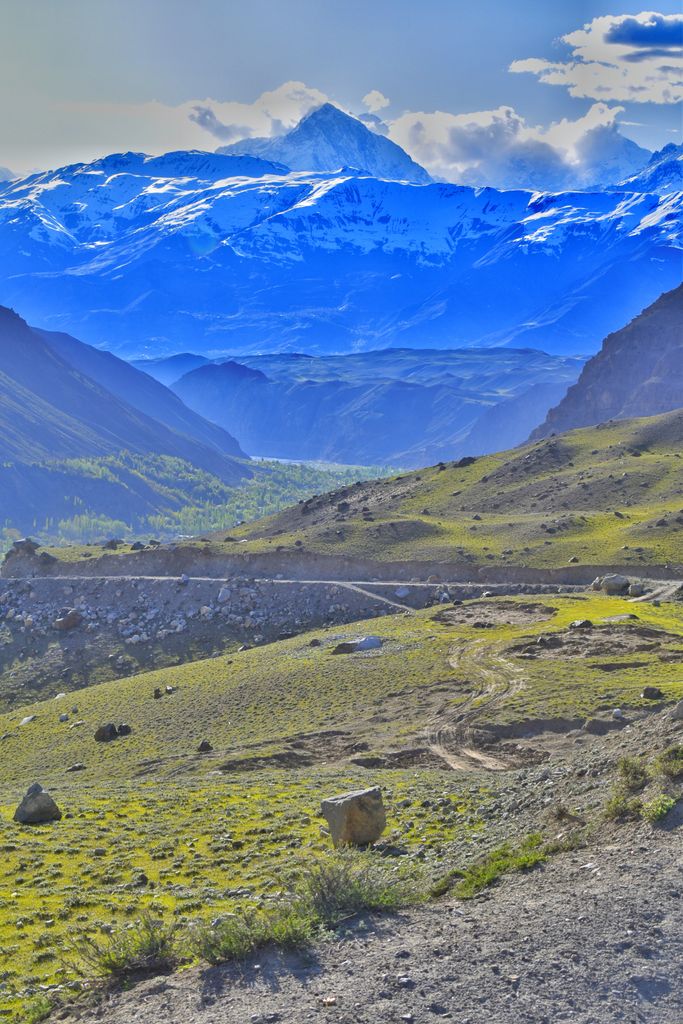
Istor-o-Nal is the third highest mountain in the Hindu Kush, in the Chitral District of the North-West Frontier Province of Pakistan. It is the 68th highest independent peak in the world. It crowns a massif with eleven peaks of elevation more than 7,000 m (22,966 ft). The peak is located a few kilometres northeast of Tirich Mir (the highest mountain in the Hindu Kush), across the Tirich Glacier. Because Istor-o-Nal is behind the higher peak of Tirich Mir from many viewpoints, it is not easily visible and therefore not well known.
The word "Istoro Nal" means horseshoe in the chitrali language (Istor means "horse"). The origin of the name is unclear.
Istor-o-Nal was first climbed on June 8, 1955, by the Americans Joseph E. Murphy, Jr., and Thomas A. Mutch, led by Pakistani Major Ken Bankwala, on a Princeton Mountaineering Club expedition. They climbed the west ridge, starting from the south side of the peak on the Tirich Glacier. Their small, minimally financed expedition (by the standards of the time for high-altitude mountaineering) achieved what was then the second highest summit attained by Americans.
By elevation Istor-o-Nal is
# 4 out of 3484 in the Hindu Kush # 41 out of 8262 in Pakistan
We use GPS information embedded into the photo when it is available.
3D mountains overlay
Adjust mountain panorama to perfectly match your photos because recorded by camera photo position might be imprecise.
Move tool
Rotate tool
Zoom
More customization
Choose which peak labels should make into the final photo and what photo title should be.
Next
Photo Location
Satellitte
Flat map
Relief map
Latitude
Longitude
Altitude
OR
Latitude
°'''
Longitude
°'''
Apply
Register Peak
Peak Name
Latitude
Longitude
Altitude
Register
Teleport
PeakVisor
This 3D model of Sagarmatha National Park in Nepal was made using the PeakVisor app topographic data. The mobile app features higher precision models worldwide, more topographic details, and works offline. Download PeakVisor maps today.
Download OBJ model
PeakVisor
The download should start shortly. If you find it useful please consider supporting the PeakVisor app.
PeakVisor for iOS and Android
Be a superhero of outdoor navigation with state-of-the-art 3D maps and mountain identification in the palm of your hand!