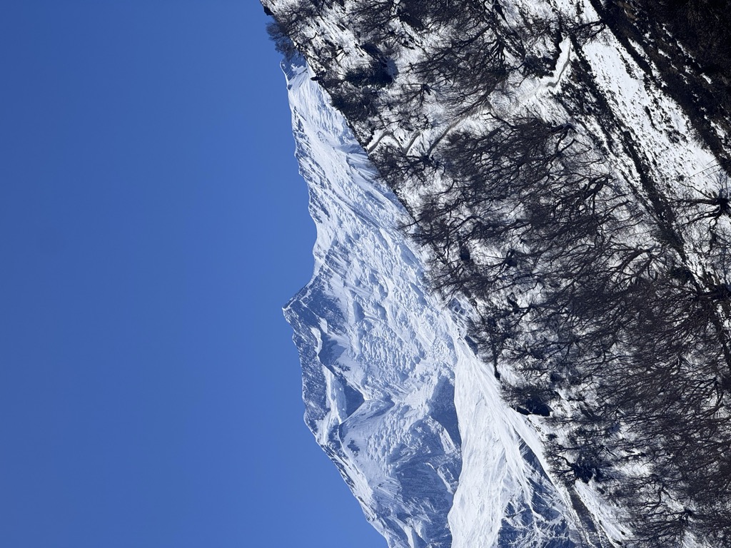
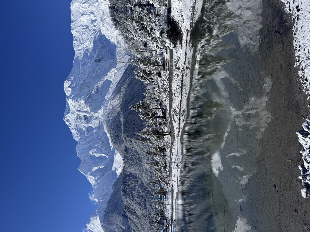
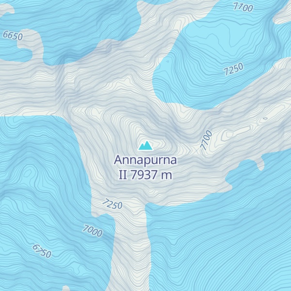
Annapurna II is the second-highest mountain of the Annapurna range located in Nepal, and the eastern anchor of the range.
In terms of elevation, isolation (distance to a higher summit, namely Annapurna I East Peak, 29.02 km or 18.03 mi) and prominence (2,437 m or 7,995 ft), Annapurna II does not rank far behind Annapurna I Main, which serves as the western anchor. It is a fully independent peak, despite the close association with Annapurna I Main which its name implies; it is, however, closely connected to the shorter Annapurna IV. Annapurna II is the 16th highest mountain in the world, and the highest ultra-prominent peak on Earth under eight-thousand meters.
By elevation Annapurna II is
# 15 out of 866 in Nepal # 2 out of 119 in Annapurna Conservation Area # 5 out of 216 in Western Development Region # 2 out of 23 in Kaski # 2 out of 53 in Manang # 18 out of 3458 in the Himalayas
By prominence Annapurna II is
# 6 out of 866 in Nepal # 2 out of 119 in Annapurna Conservation Area # 4 out of 216 in Western Development Region # 2 out of 23 in Kaski # 2 out of 53 in Manang # 12 out of 3458 in the Himalayas
We use GPS information embedded into the photo when it is available.
3D mountains overlay
Adjust mountain panorama to perfectly match your photos because recorded by camera photo position might be imprecise.
Move tool
Rotate tool
Zoom
More customization
Choose which peak labels should make into the final photo and what photo title should be.
Next
Photo Location
Satellitte
Flat map
Relief map
Latitude
Longitude
Altitude
OR
Latitude
°'''
Longitude
°'''
Apply
Register Peak
Peak Name
Latitude
Longitude
Altitude
Register
Teleport
PeakVisor
This 3D model of Sagarmatha National Park in Nepal was made using the PeakVisor app topographic data. The mobile app features higher precision models worldwide, more topographic details, and works offline. Download PeakVisor maps today.
Download OBJ model
PeakVisor
The download should start shortly. If you find it useful please consider supporting the PeakVisor app.
PeakVisor for iOS and Android
Be a superhero of outdoor navigation with state-of-the-art 3D maps and mountain identification in the palm of your hand!