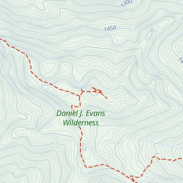
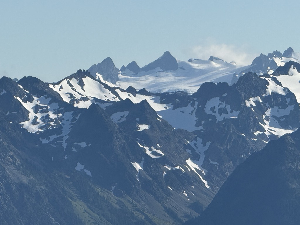
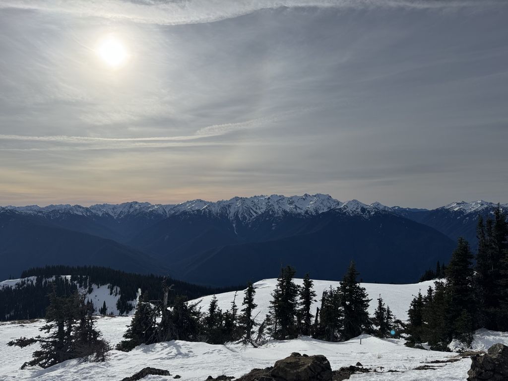
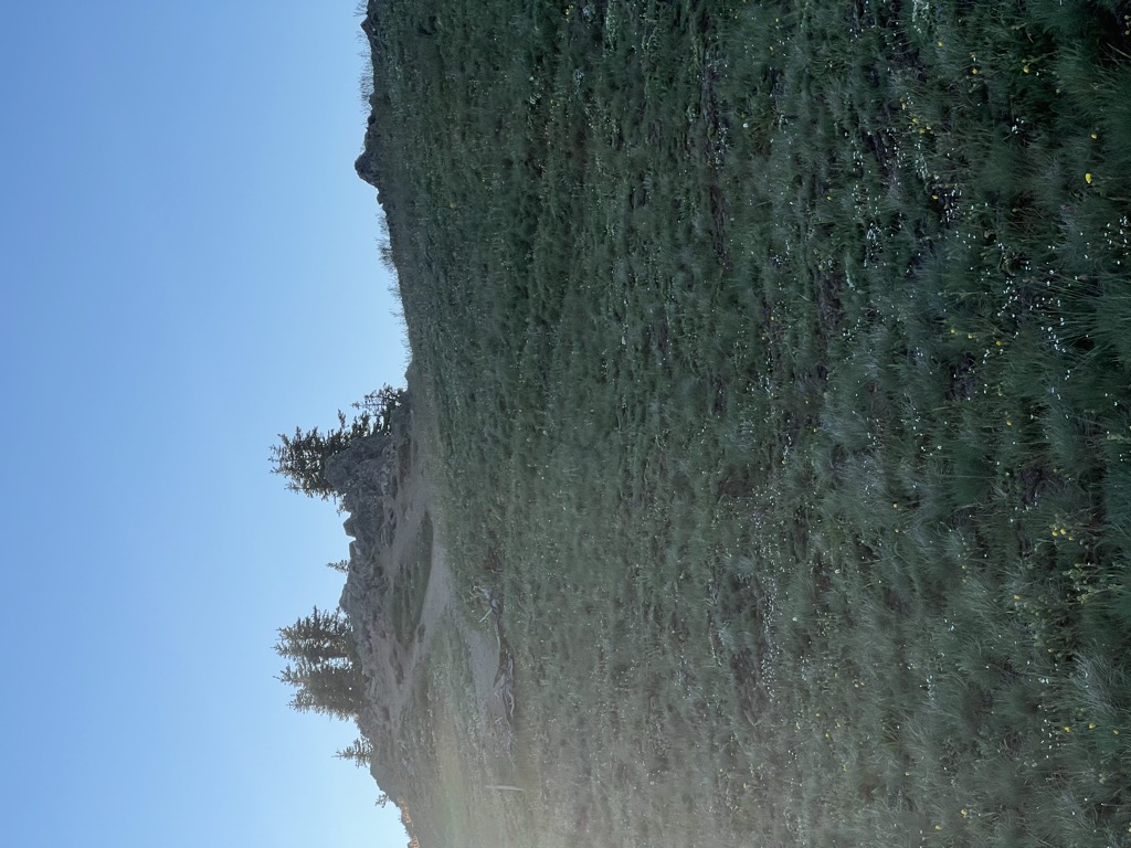
Hurricane Hill is a 5,757-foot (1,755 m) mountain summit located within Olympic National Park in Clallam County of Washington state. It is part of the Olympic Mountains and is situated at the western end of Hurricane Ridge within the Daniel J. Evans Wilderness. Hurricane Hill is nine miles south-southwest of Port Angeles and two miles northwest of the park's Hurricane Ridge Visitor Center. Precipitation runoff from the mountain drains to the Elwha River via various tributaries. Topographic relief is significant as the southwest aspect rises 5,100 feet (1,600 m) above the Elwha Valley in three miles.
There's a trail called Hurricane Hill Nature Trail leading to the summit.
By elevation Hurricane Hill is
# 24 out of 125 in Clallam County # 83 out of 144 in Olympic National Park # 94 out of 284 in the Olympic Mountains
By prominence Hurricane Hill is
# 34 out of 125 in Clallam County # 54 out of 144 in Olympic National Park
We use GPS information embedded into the photo when it is available.
3D mountains overlay
Adjust mountain panorama to perfectly match your photos because recorded by camera photo position might be imprecise.
Move tool
Rotate tool
Zoom
More customization
Choose which peak labels should make into the final photo and what photo title should be.
Next
Photo Location
Satellitte
Flat map
Relief map
Latitude
Longitude
Altitude
OR
Latitude
°'''
Longitude
°'''
Apply
Register Peak
Peak Name
Latitude
Longitude
Altitude
Register
Teleport
PeakVisor
This 3D model of Sagarmatha National Park in Nepal was made using the PeakVisor app topographic data. The mobile app features higher precision models worldwide, more topographic details, and works offline. Download PeakVisor maps today.
Download OBJ model
PeakVisor
The download should start shortly. If you find it useful please consider supporting the PeakVisor app.
PeakVisor for iOS and Android
Be a superhero of outdoor navigation with state-of-the-art 3D maps and mountain identification in the palm of your hand!


.jpg)