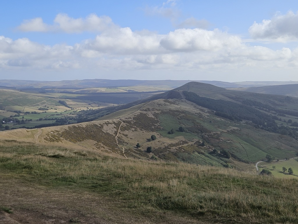
Hollins Cross lies between Mam Tor and Lose Hill on the Great Ridge that separates Castleton and Edale in Derbyshire, England.
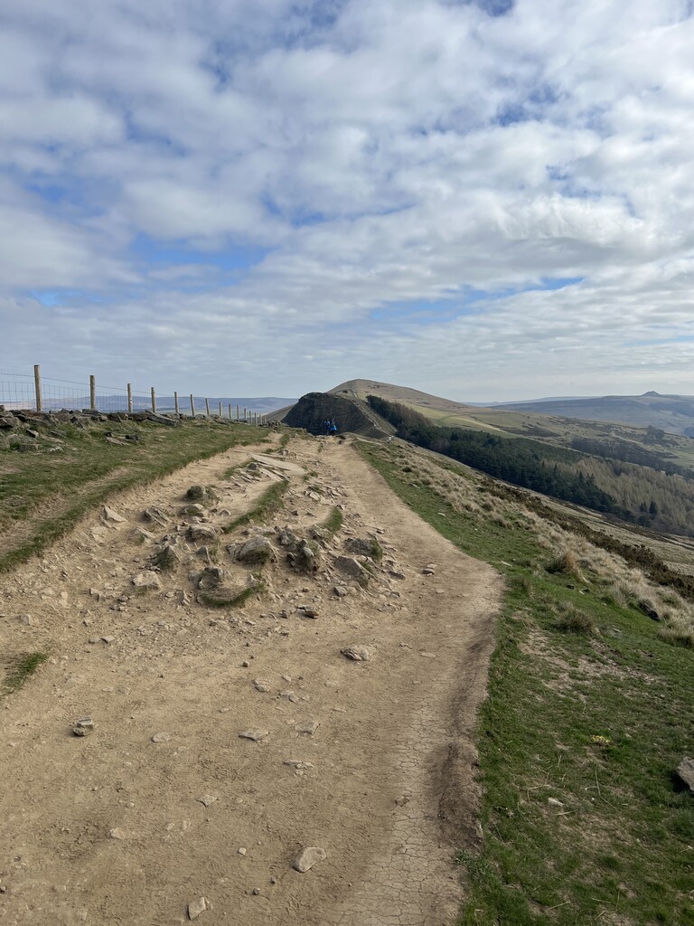
Hollins Cross is the lowest point on the ridge and is therefore a popular route taken by walkers wishing either to cross from one side to the other, or to start a walk along the ridge. It was also the traditional route from Castleton to Edale. Coffins from Edale were taken over Hollins Cross to Hope church until a church was constructed in Edale, leading to the nickname of the "coffin road" for this route.
There are three well-used paths on both sides of the ridge leading to Hollins Cross. The path west of Hollins Cross is a gentle climb on a paved path of around one kilometre to the summit of Mam Tor. The path east is slightly more taxing with the initial climb up Back Tor being unpaved and badly eroded. Beyond Back Tor the path continues on to Lose Hill on a paved surface.
Hollins Cross is named for an actual cross that was raised here, but which had disappeared by 1905. A memorial to Tom Hyett (formerly surmounted by a topograph) was erected by the Long Eaton and District Group of the Ramblers Association in 1964.
There's a trail leading to the summit.
By prominence Hollins Cross is
# 79 out of 314 in Derbyshire # 90 out of 342 in Peak District National Park
We use GPS information embedded into the photo when it is available.
3D mountains overlay
Adjust mountain panorama to perfectly match your photos because recorded by camera photo position might be imprecise.
Move tool
Rotate tool
Zoom
More customization
Choose which peak labels should make into the final photo and what photo title should be.
Next
Photo Location
Satellitte
Flat map
Relief map
Latitude
Longitude
Altitude
OR
Latitude
°'''
Longitude
°'''
Apply
Register Peak
Peak Name
Latitude
Longitude
Altitude
Register
Teleport
PeakVisor
This 3D model of Sagarmatha National Park in Nepal was made using the PeakVisor app topographic data. The mobile app features higher precision models worldwide, more topographic details, and works offline. Download PeakVisor maps today.
Download OBJ model
PeakVisor
The download should start shortly. If you find it useful please consider supporting the PeakVisor app.
PeakVisor for iOS and Android
Be a superhero of outdoor navigation with state-of-the-art 3D maps and mountain identification in the palm of your hand!


.jpg)


