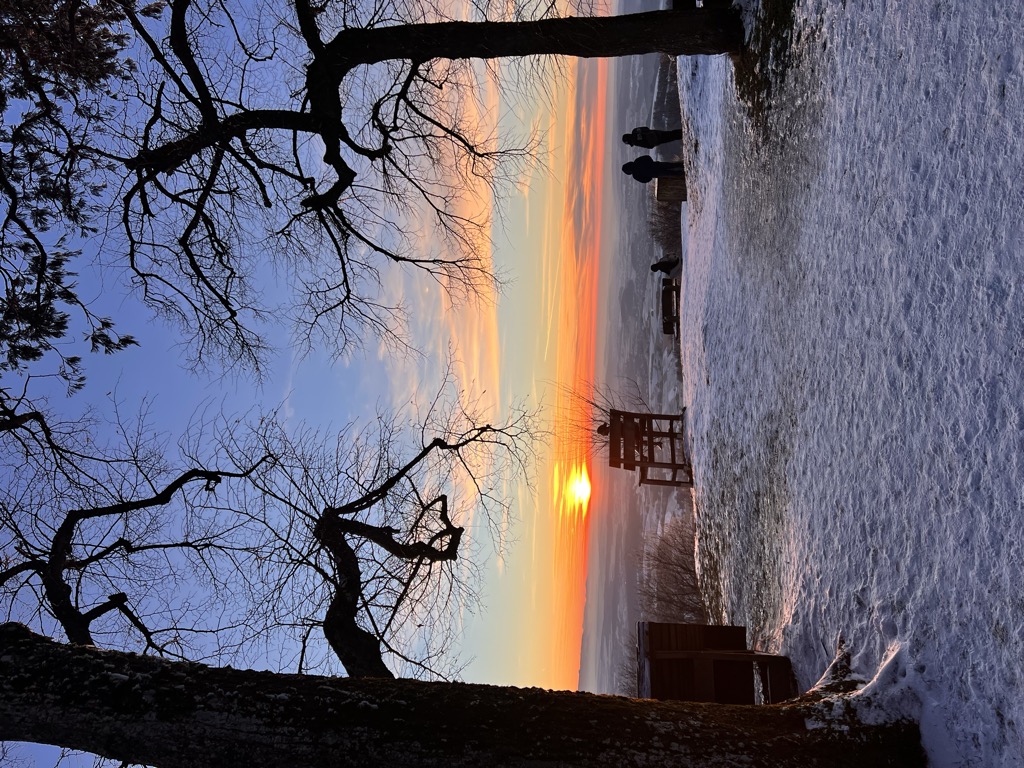
Hohenstaufen is a mountain in the Swabian Jura with an elevation of 684 metres (2,244 ft). It and two nearby mountains known as Rechberg and Stuifen together constitute the so-called "Three Kaiser mountains" (Drei Kaiserberge). The Hohenstaufen is easily visible from the little town of Lorch. The mountain towers over the forests that have overgrown the ruins of the Hohenstaufen Castle, the seat of the former House of Hohenstaufen.
There are many footpaths on the mountain that are easily accessible from three entrances. The summit is surrounded by beech trees which tower above the footpaths. At the peak of the mountain is a bar which serves German beer and other snacks, however, the bar is being reconstructed into a glass-like conservatory.
The name is derived from the shape of the mountain, which forms the shape of a chalice ("Stauf").
There's a trail leading to the summit. Hohenstaufen is one of the 3 peaks along the multi-day HW 7 - Schwäbische-Alb-Oberschwaben-Weg.
The nearest mountain hut is Hütte desSchwäbischer Albvereins Hohenstaufen located 612m/2 008ft ENE of the summit.
By elevation Hohenstaufen is
# 69 out of 108 in Landkreis Göppingen
By prominence Hohenstaufen is
# 5 out of 108 in Landkreis Göppingen # 80 out of 3504 in Baden-Württemberg
We use GPS information embedded into the photo when it is available.
3D mountains overlay
Adjust mountain panorama to perfectly match your photos because recorded by camera photo position might be imprecise.
Move tool
Rotate tool
Zoom
More customization
Choose which peak labels should make into the final photo and what photo title should be.
Next
Photo Location
Satellitte
Flat map
Relief map
Latitude
Longitude
Altitude
OR
Latitude
°'''
Longitude
°'''
Apply
Register Peak
Peak Name
Latitude
Longitude
Altitude
Register
Teleport
PeakVisor
This 3D model of Sagarmatha National Park in Nepal was made using the PeakVisor app topographic data. The mobile app features higher precision models worldwide, more topographic details, and works offline. Download PeakVisor maps today.
Download OBJ model
PeakVisor
The download should start shortly. If you find it useful please consider supporting the PeakVisor app.
PeakVisor for iOS and Android
Be a superhero of outdoor navigation with state-of-the-art 3D maps and mountain identification in the palm of your hand!