Goldenberry Hill is a hill in North Ayrshire, Scotland, near West Kilbride. It is a popular spot for walks and is visited regularly.
It is 140 metres (460 ft) high and has a prominence of 120 metres (390 ft), thus being categorised as a TuMP and HuMP.
The hill can be accessed from the north up a footpath that runs along the back of Hunterston Nuclear Plant or from the south up EE Communications Road.
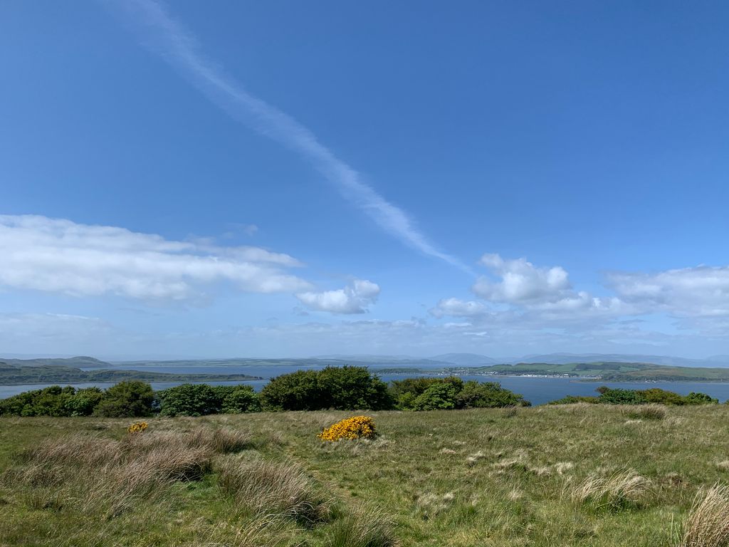
The view from the top provides 360 degrees panoramic scenery across to Arran, Little and Great Cumbrae and across the firth of Clyde as well as a vantage point for seeing West Kilbride and Fairlie, North Ayrshire.
There is a Trig point within 4m of the summit as well as a slightly lower cairn and an EE phone mast.
The hill is listed by Canmore, but archaeological reports are inconclusive.
We use GPS information embedded into the photo when it is available.
3D mountains overlay
Adjust mountain panorama to perfectly match your photos because recorded by camera photo position might be imprecise.
Move tool
Rotate tool
Zoom
More customization
Choose which peak labels should make into the final photo and what photo title should be.
Next
Photo Location
Satellitte
Flat map
Relief map
Latitude
Longitude
Altitude
OR
Latitude
°'''
Longitude
°'''
Apply
Register Peak
Peak Name
Latitude
Longitude
Altitude
Register
Teleport
PeakVisor
This 3D model of Sagarmatha National Park in Nepal was made using the PeakVisor app topographic data. The mobile app features higher precision models worldwide, more topographic details, and works offline. Download PeakVisor maps today.
Download OBJ model
PeakVisor
The download should start shortly. If you find it useful please consider supporting the PeakVisor app.
PeakVisor for iOS and Android
Be a superhero of outdoor navigation with state-of-the-art 3D maps and mountain identification in the palm of your hand!