Galtymore or Galteemore (Irish: Cnoc Mór na nGaibhlte, meaning 'big hill of the Galtees') is a mountain in the province of Munster, Ireland. At 917.9 metres (3,011 ft 6 in), it is one of Ireland's highest mountains, being the 12th-highest on the Arderin list, and 14th-highest on the Vandeleur-Lynam list. Galtymore has the 4th-highest topographic prominence of any peak in Ireland, which classifies Galtymore as a P600, or "major mountain". It is one of the 13 Irish Munros.
Galtymore is the highest of the Galty Mountains, or Galtee Mountains, a sandstone and shale mountain range with 24 peaks above 100 metres (330 ft), which runs east-west for thirty kilometres (20 mi) between counties Tipperary and Limerick; Galtymore is the highest point of both counties. The mountain is accessed by hillwalkers via the 3–4 hour Black Road Route, but is also summited as part of the longer 5–6 hour Circuit of Glencushnabinnia, and the at least 10–hour east-to-west crossing of the entire range, called the Galtee Crossing, which is climbed annually in the Galtee Challenge.
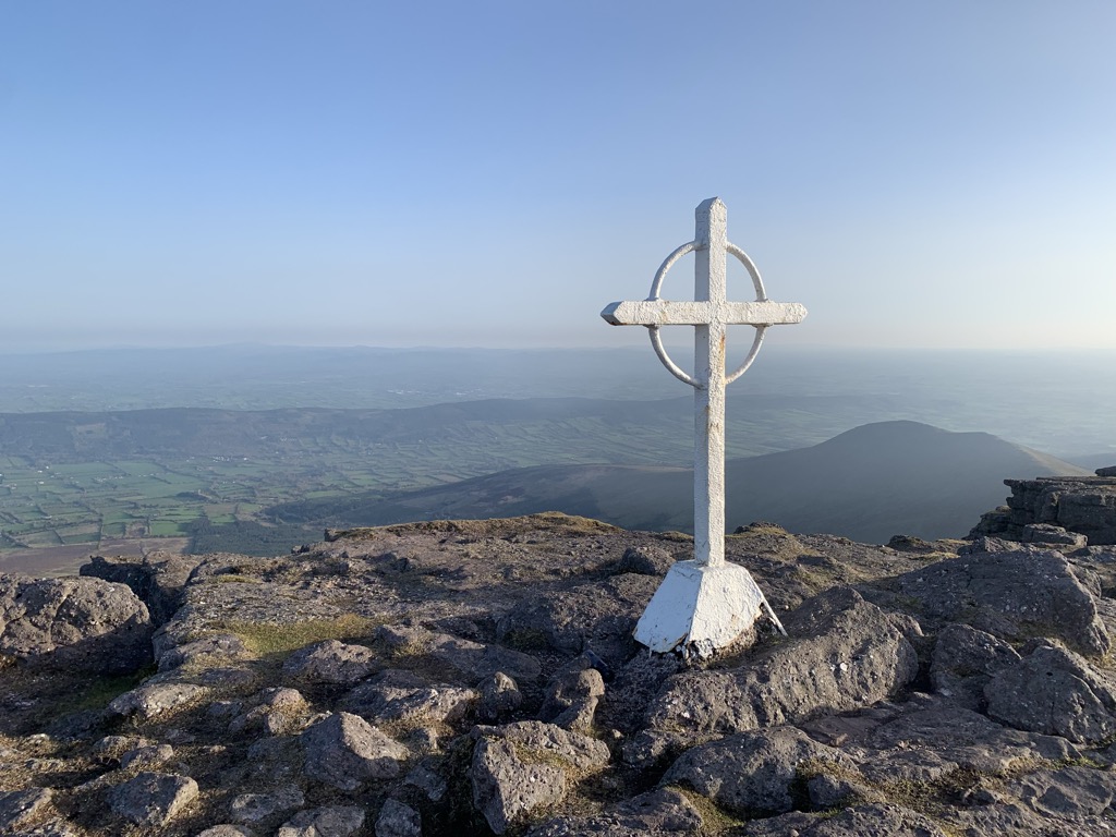
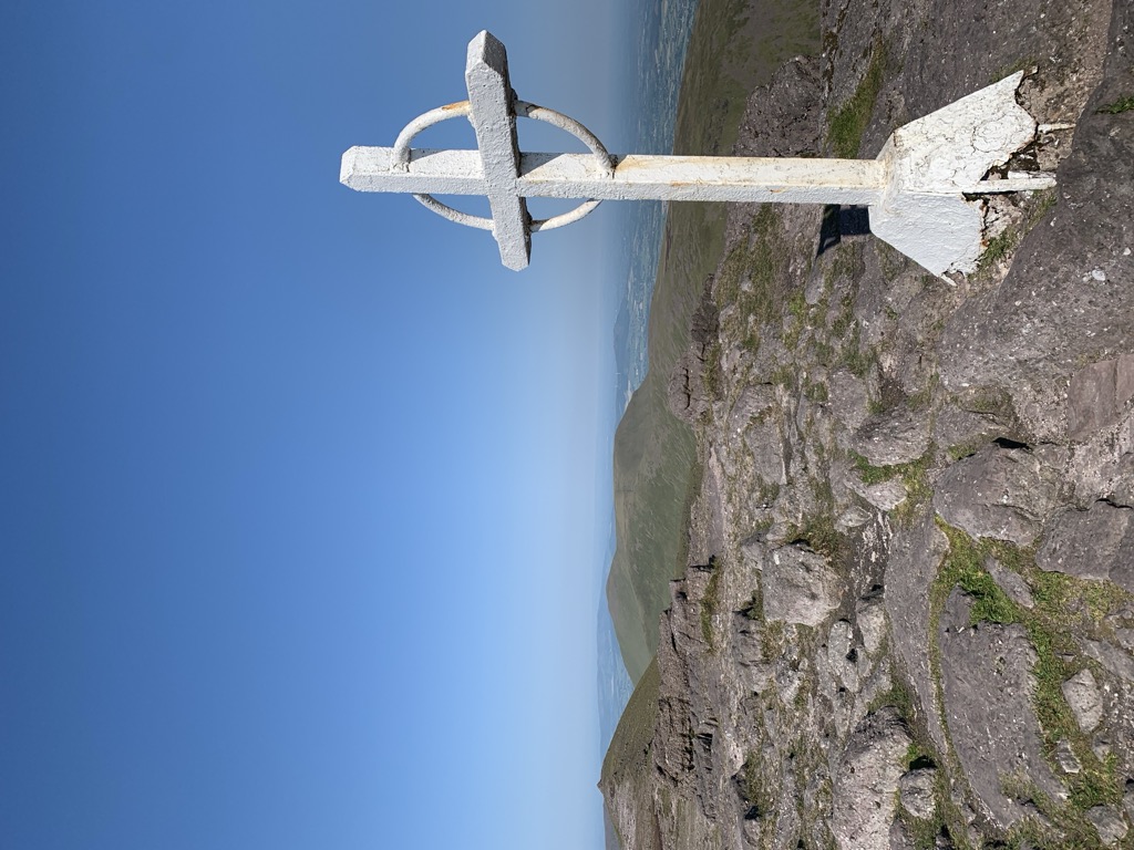
The mountain and its deep corrie lakes are associated with various Irish folklore tales regarding Saint Patrick and serpents.
There's a trail leading to the summit.
By elevation Galtymore is
# 1 out of 143 in County Tipperary # 1 out of 76 in County Limerick # 15 out of 2365 in Ireland # 15 out of 2703 in the Mountains of Ireland
By prominence Galtymore is
# 1 out of 143 in County Tipperary # 1 out of 76 in County Limerick # 4 out of 2365 in Ireland # 5 out of 2703 in the Mountains of Ireland
We use GPS information embedded into the photo when it is available.
3D mountains overlay
Adjust mountain panorama to perfectly match your photos because recorded by camera photo position might be imprecise.
Move tool
Rotate tool
Zoom
More customization
Choose which peak labels should make into the final photo and what photo title should be.
Next
Photo Location
Satellitte
Flat map
Relief map
Latitude
Longitude
Altitude
OR
Latitude
°'''
Longitude
°'''
Apply
Register Peak
Peak Name
Latitude
Longitude
Altitude
Register
Teleport
PeakVisor
This 3D model of Sagarmatha National Park in Nepal was made using the PeakVisor app topographic data. The mobile app features higher precision models worldwide, more topographic details, and works offline. Download PeakVisor maps today.
Download OBJ model
PeakVisor
The download should start shortly. If you find it useful please consider supporting the PeakVisor app.
PeakVisor for iOS and Android
Be a superhero of outdoor navigation with state-of-the-art 3D maps and mountain identification in the palm of your hand!