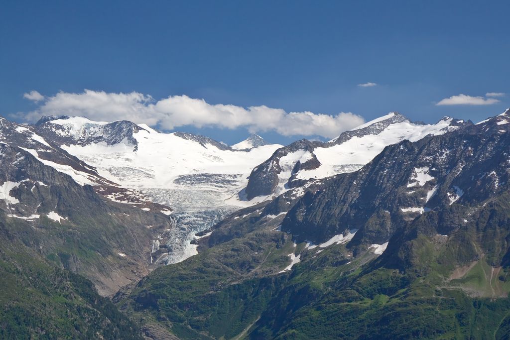
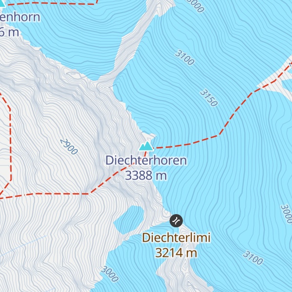
The Diechterhorn is a mountain in the Urner Alps, overlooking the Haslital in the Bernese Oberland. At 3,389 metres above sea level it is the highest summit of the Urner Alps lying within the canton of Bern.
On its east side lies the upper basin of the Trift Glacier, the summit of the Dammastock being located about five kilometres east. On its west side lies the Gelmersee at 1,849 metres.
The Gelmer hut, lying at 2,412 metres above the Gelmersee, is the closest hut. It is a common base for climbers.
We use GPS information embedded into the photo when it is available.
3D mountains overlay
Adjust mountain panorama to perfectly match your photos because recorded by camera photo position might be imprecise.
Move tool
Rotate tool
Zoom
More customization
Choose which peak labels should make into the final photo and what photo title should be.
Next
Photo Location
Satellitte
Flat map
Relief map
Latitude
Longitude
Altitude
OR
Latitude
°'''
Longitude
°'''
Apply
Register Peak
Peak Name
Latitude
Longitude
Altitude
Register
Teleport
PeakVisor
This 3D model of Sagarmatha National Park in Nepal was made using the PeakVisor app topographic data. The mobile app features higher precision models worldwide, more topographic details, and works offline. Download PeakVisor maps today.
Download OBJ model
PeakVisor
The download should start shortly. If you find it useful please consider supporting the PeakVisor app.
PeakVisor for iOS and Android
Be a superhero of outdoor navigation with state-of-the-art 3D maps and mountain identification in the palm of your hand!