Crag Hill is a mountain in the North Western part of the English Lake District. It was formerly known as Eel Crag; however, the Ordnance Survey now marks Eel Crag as referring to the northern crags of the fell.
It is not to be confused with another Crag Hill lying on the border of North Yorkshire.
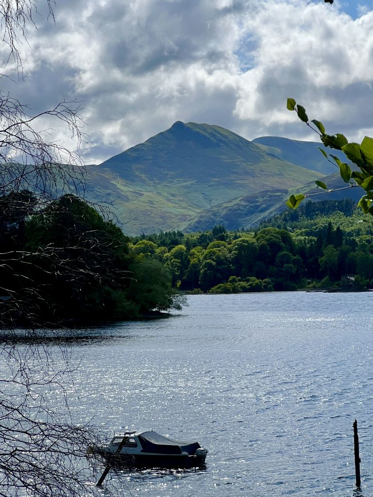
It overlooks the valleys of Rannerdale on the west, and Coledale on the east. It is the second highest fell in the area of high ground between the passes of Whinlatter and Newlands, second to Grasmoor. It is 839 metres (2,753 ft) high, and has a relative height of 117 metres (384 ft).
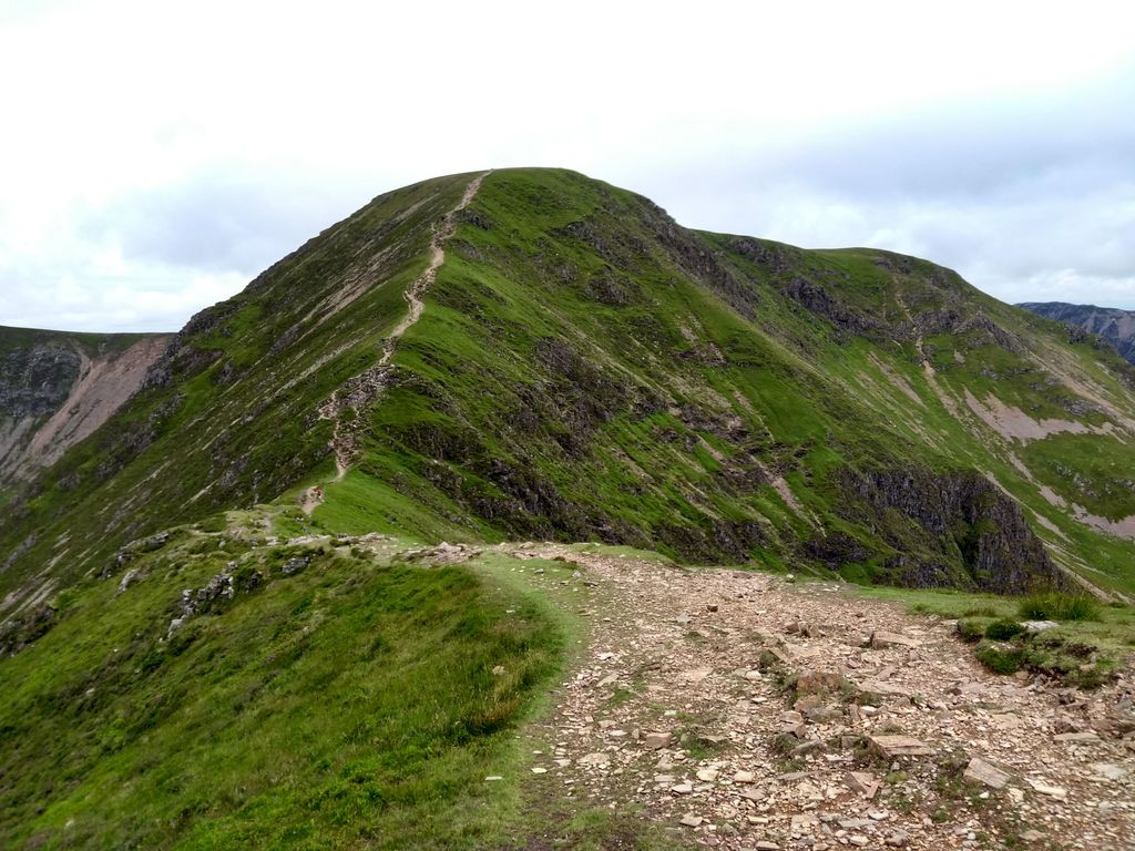
There's a hiking trail (T2) leading to the summit.
By elevation Crag Hill is
# 38 out of 12948 in the England Hills # 34 out of 864 in Lake District National Park # 38 out of 13057 in England # 38 out of 1704 in Cumbria # 34 out of 838 in The English Lake District WHS
By prominence Crag Hill is
# 82 out of 864 in Lake District National Park # 81 out of 838 in The English Lake District WHS
We use GPS information embedded into the photo when it is available.
3D mountains overlay
Adjust mountain panorama to perfectly match your photos because recorded by camera photo position might be imprecise.
Move tool
Rotate tool
Zoom
More customization
Choose which peak labels should make into the final photo and what photo title should be.
Next
Photo Location
Satellitte
Flat map
Relief map
Latitude
Longitude
Altitude
OR
Latitude
°'''
Longitude
°'''
Apply
Register Peak
Peak Name
Latitude
Longitude
Altitude
Register
Teleport
PeakVisor
This 3D model of Sagarmatha National Park in Nepal was made using the PeakVisor app topographic data. The mobile app features higher precision models worldwide, more topographic details, and works offline. Download PeakVisor maps today.
Download OBJ model
PeakVisor
The download should start shortly. If you find it useful please consider supporting the PeakVisor app.
PeakVisor for iOS and Android
Be a superhero of outdoor navigation with state-of-the-art 3D maps and mountain identification in the palm of your hand!