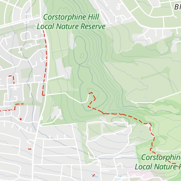
Corstorphine Hill is a low ridge-shaped hill rising above the western suburbs of Edinburgh, Scotland. Although there has been residential and commercial development on its lower slopes, especially in the south and west, most of the hill is occupied by a local nature reserve, consisting of extensive broadleaf woodland, accessible to the public.
The hill, which is composed largely of dolerite, was formed by the west-to-east movement of glaciers during the Pleistocene period. There is evidence of prehistoric settlement. Today the hill is popular with walkers, dog-walkers and joggers. Among its interesting features are a 19th-century tower, a walled garden and a Cold War bunker.
We use GPS information embedded into the photo when it is available.
3D mountains overlay
Adjust mountain panorama to perfectly match your photos because recorded by camera photo position might be imprecise.
Move tool
Rotate tool
Zoom
More customization
Choose which peak labels should make into the final photo and what photo title should be.
Next
Photo Location
Satellitte
Flat map
Relief map
Latitude
Longitude
Altitude
OR
Latitude
°'''
Longitude
°'''
Apply
Register Peak
Peak Name
Latitude
Longitude
Altitude
Register
Teleport
PeakVisor
This 3D model of Sagarmatha National Park in Nepal was made using the PeakVisor app topographic data. The mobile app features higher precision models worldwide, more topographic details, and works offline. Download PeakVisor maps today.
Download OBJ model
PeakVisor
The download should start shortly. If you find it useful please consider supporting the PeakVisor app.
PeakVisor for iOS and Android
Be a superhero of outdoor navigation with state-of-the-art 3D maps and mountain identification in the palm of your hand!