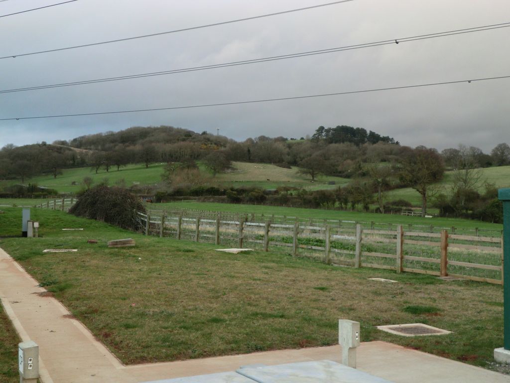
Chosen Hill (grid reference SO882187) (or Churchdown Hill) rises above Churchdown in Gloucestershire, England, and is the site of a 11.5-hectare (28-acre) nature reserve.
The hill commands good views over the scarp and the Severn Vale and there is a network of paths for walkers. One such path is 'coffin way' from St Bartholomew's Church at the top of the hill towards Hucclecote.
Covered reservoirs were constructed on the Hill in the 1940s and 1950s. There is an archaeological site - an Iron Age fort known as Churchdown Hill Camp - below the main reservoir.
Geologically, it is on one of outliers of the Cotswold scarp.
We use GPS information embedded into the photo when it is available.
3D mountains overlay
Adjust mountain panorama to perfectly match your photos because recorded by camera photo position might be imprecise.
Move tool
Rotate tool
Zoom
More customization
Choose which peak labels should make into the final photo and what photo title should be.
Next
Photo Location
Satellitte
Flat map
Relief map
Latitude
Longitude
Altitude
OR
Latitude
°'''
Longitude
°'''
Apply
Register Peak
Peak Name
Latitude
Longitude
Altitude
Register
Teleport
PeakVisor
This 3D model of Sagarmatha National Park in Nepal was made using the PeakVisor app topographic data. The mobile app features higher precision models worldwide, more topographic details, and works offline. Download PeakVisor maps today.
Download OBJ model
PeakVisor
The download should start shortly. If you find it useful please consider supporting the PeakVisor app.
PeakVisor for iOS and Android
Be a superhero of outdoor navigation with state-of-the-art 3D maps and mountain identification in the palm of your hand!