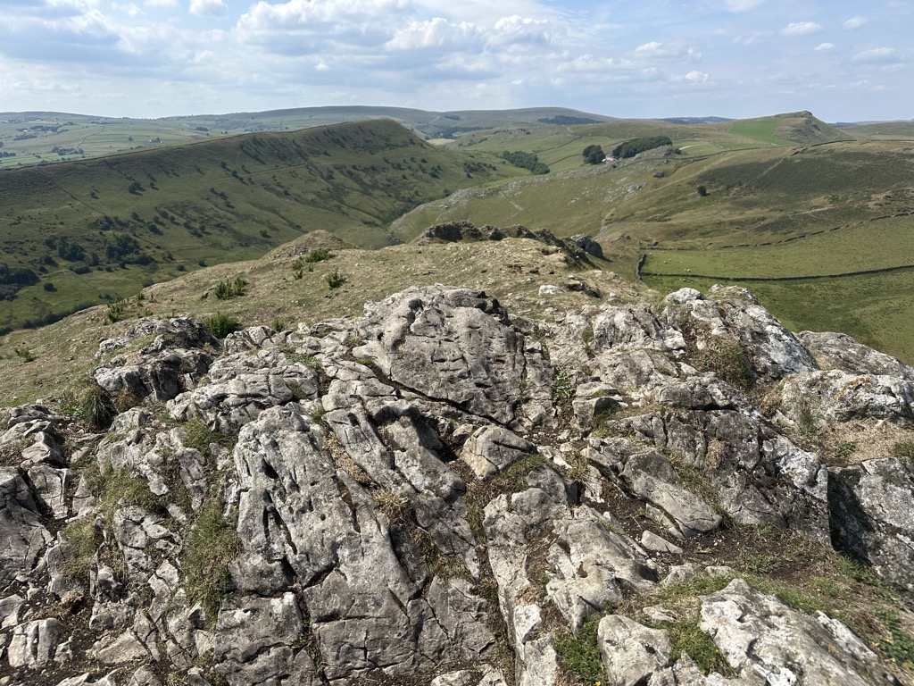
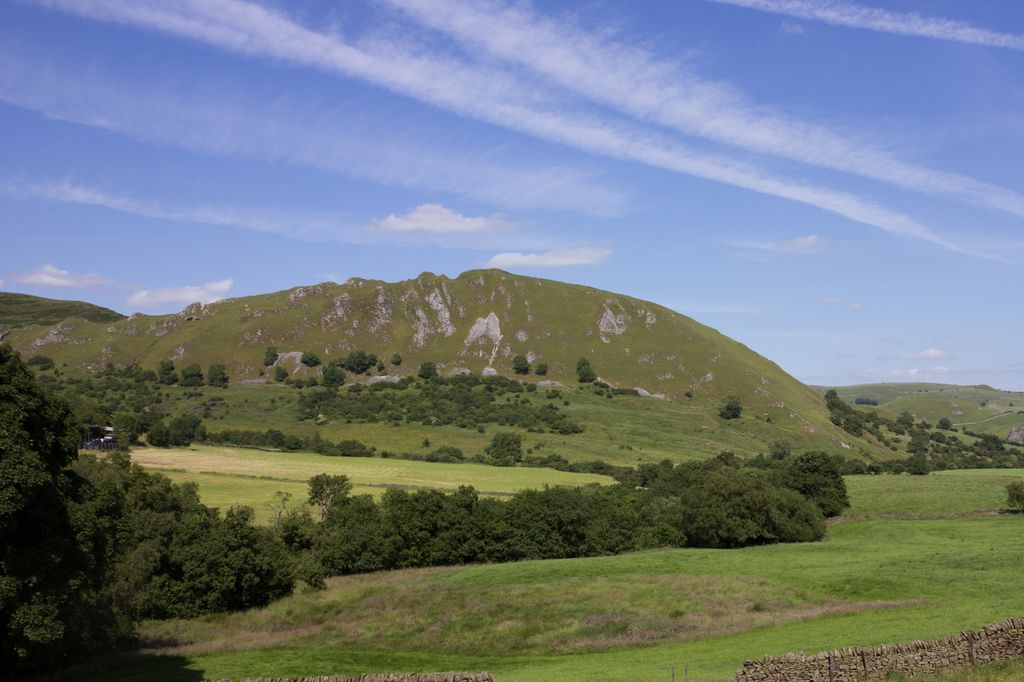
in Derbyshire, England, in the upper Dove valley beside the border with Staffordshire, within the civil parish of Hartington Middle Quarter. It is adjacent to Parkhouse Hill, another reef knoll. The walk over Chrome Hill and Parkhouse Hill is known as the Dragon's Back ridge.
Chrome Hill was declared open access land
under the provisions of the Countryside and Rights of Way Act 2000. However, the only access from the north west remains along a concessionary footpath. Chrome Hill contains good exposures of Gigantoproductus fossils; it is part of a designated Site of Special Scientific Interest which makes it an offence for visitors to remove geological samples.
A double sunset can sometimes be seen against Chrome Hill from the southern flank of Parkhouse Hill; and also from nearby Glutton Bridge, on the upper valley of the River Dove, which is more easily accessible. The phenomenon is visible from Glutton Bridge in good weather for a short period around the summer solstice, when the sun sets just to the southwest of the summit of Chrome Hill, begins to re-emerge almost immediately afterwards from its steep northeastern slope before fully reappearing and later sets for a second and final time at the foot of the hill.
Chrome Hill has had songs written in its honour by the Norwegian musicians Sigurd Hole (Chrome Hill) and Jonas Howden Sjøvaag (Up on Chrome Hill). In 2008 the Norwegian jazz quartet Damp changed its name to Chrome Hill.
Broadcast in 2022, the final episode of the final season of Peaky Blinders was filmed overlooking Chrome Hill.
There's a trail leading to the summit.
By prominence Chrome Hill is
# 50 out of 314 in Derbyshire # 57 out of 342 in Peak District National Park
We use GPS information embedded into the photo when it is available.
3D mountains overlay
Adjust mountain panorama to perfectly match your photos because recorded by camera photo position might be imprecise.
Move tool
Rotate tool
Zoom
More customization
Choose which peak labels should make into the final photo and what photo title should be.
Next
Photo Location
Satellitte
Flat map
Relief map
Latitude
Longitude
Altitude
OR
Latitude
°'''
Longitude
°'''
Apply
Register Peak
Peak Name
Latitude
Longitude
Altitude
Register
Teleport
PeakVisor
This 3D model of Sagarmatha National Park in Nepal was made using the PeakVisor app topographic data. The mobile app features higher precision models worldwide, more topographic details, and works offline. Download PeakVisor maps today.
Download OBJ model
PeakVisor
The download should start shortly. If you find it useful please consider supporting the PeakVisor app.
PeakVisor for iOS and Android
Be a superhero of outdoor navigation with state-of-the-art 3D maps and mountain identification in the palm of your hand!