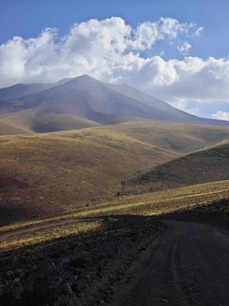
Chela is a volcano in Chile that was active between 3.75±0.5 and 4.11±0.25 million years ago. It is constructed on top of the 5.4±0.3 million years old rhyolitic Carcote ignimbrite. Its eruption products are mafic andesites. The volcano was degraded by glaciation but radial ridges and red-gray rocks as well as the uniform slopes indicate that it was a symmetric stratovolcano. The Pleistocene snow line was located at 4,800 metres (15,700 ft) altitude and moraines formed on the northern, western and southern flanks. Perhaps volcanically pre-formed cirques also developed.
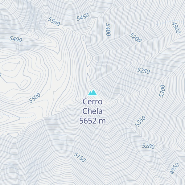
Cerro Chela is located south of Aucanquilcha, from which it is separated by the Portezuelo Puquíos. It forms a lineament with Cerro Carcote, Cerro Palpana, Miño Volcano and Volcan Las Cuevas that is oriented north-south.
By elevation Cerro Chela is
# 42 out of 410 in Provincia de El Loa # 45 out of 973 in Región de Antofagasta
By prominence Cerro Chela is
# 12 out of 410 in Provincia de El Loa # 96 out of 10580 in Chile # 14 out of 973 in Región de Antofagasta
We use GPS information embedded into the photo when it is available.
3D mountains overlay
Adjust mountain panorama to perfectly match your photos because recorded by camera photo position might be imprecise.
Move tool
Rotate tool
Zoom
More customization
Choose which peak labels should make into the final photo and what photo title should be.
Next
Photo Location
Satellitte
Flat map
Relief map
Latitude
Longitude
Altitude
OR
Latitude
°'''
Longitude
°'''
Apply
Register Peak
Peak Name
Latitude
Longitude
Altitude
Register
Teleport
PeakVisor
This 3D model of Sagarmatha National Park in Nepal was made using the PeakVisor app topographic data. The mobile app features higher precision models worldwide, more topographic details, and works offline. Download PeakVisor maps today.
Download OBJ model
PeakVisor
The download should start shortly. If you find it useful please consider supporting the PeakVisor app.
PeakVisor for iOS and Android
Be a superhero of outdoor navigation with state-of-the-art 3D maps and mountain identification in the palm of your hand!