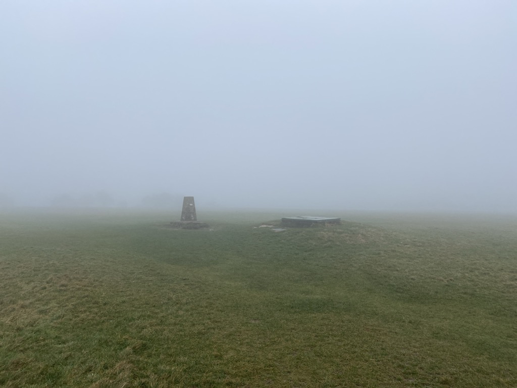
Butser Hill is a hill and nature reserve in Hampshire, England. South-west of Petersfield, it is a 239.7-hectare (592-acre) biological and geological Site of Special Scientific Interest. It is a national nature reserve and a Special Area of Conservation. Part of it is a Geological Conservation Review site and an area of 84.8 hectares (210 acres) is Oxenbourne Down, which is designated a Local Nature Reserve. Part of it is a Scheduled Monument.
It is a chalk hill and one of the highest points in Hampshire. It is also the highest point on the chalk ridge of the South Downs and the second highest point in the South Downs National Park after Blackdown in the Western Weald. Although only 271 metres (889 ft) high, it qualifies as one of England's Marilyns. It is located within the borders of the Queen Elizabeth Country Park.
The name Butser comes from the Old English Bryttes Oran meaning Briht's slope. Oran or Ora is Old English for flat topped hill and/or steep slope.
The flat summit is surrounded by a number of spurs. Iron Age ditches and banks divide the spurs from the summit although the purpose of these earthworks is unclear.
There is evidence of lynchet farming on the southeast side of the hill. The age of the lynchets is unknown but Roman pottery has been brought to the surface by rabbit holes.
There are aerial masts on the hill.
The hill was purchased by Hampshire County Council in 1966. Prior to the purchase the summit was used for growing wheat but now the only farming activity is grazing. In December 2021 a £240,000 program was announced to restore grassland on the hill and improve trails.
Butser Hill has a rich variety of flora and fauna located upon the hill. Butser Hill is in the top twenty Hampshire chalk grassland sites for its rich vascular flora, and is the richest chalk grassland site in Hampshire in terms of its bryophyte (125 species) and lichen (82 species) flora. As well as this, over 30 species of butterfly have been recorded, including populations of Duke of Burgundy and the Silver-spotted Skipper, making the area an important conservation area for many butterfly species.
There is an annual Fell Run called the Butser Hill Challenge that involves running up and down the hill three times.
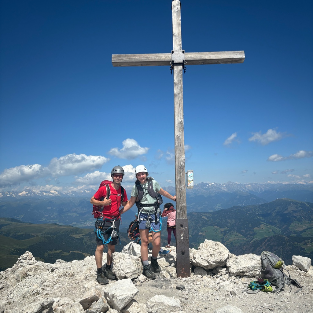
There's a trail leading to the summit.
By elevation Butser Hill is
# 4 out of 256 in South Downs National Park # 4 out of 371 in Hampshire
By prominence Butser Hill is
# 9 out of 256 in South Downs National Park # 2 out of 371 in Hampshire
We use GPS information embedded into the photo when it is available.
3D mountains overlay
Adjust mountain panorama to perfectly match your photos because recorded by camera photo position might be imprecise.
Move tool
Rotate tool
Zoom
More customization
Choose which peak labels should make into the final photo and what photo title should be.
Next
Photo Location
Satellitte
Flat map
Relief map
Latitude
Longitude
Altitude
OR
Latitude
°'''
Longitude
°'''
Apply
Register Peak
Peak Name
Latitude
Longitude
Altitude
Register
Teleport
PeakVisor
This 3D model of Sagarmatha National Park in Nepal was made using the PeakVisor app topographic data. The mobile app features higher precision models worldwide, more topographic details, and works offline. Download PeakVisor maps today.
Download OBJ model
PeakVisor
The download should start shortly. If you find it useful please consider supporting the PeakVisor app.
PeakVisor for iOS and Android
Be a superhero of outdoor navigation with state-of-the-art 3D maps and mountain identification in the palm of your hand!