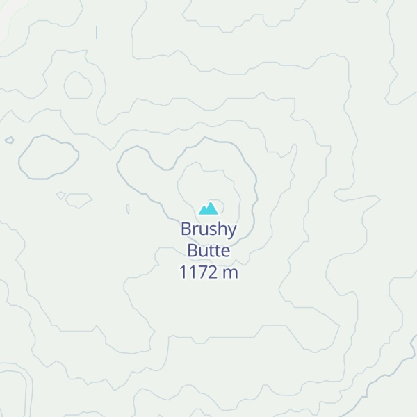
Brushy Butte is a small, poorly studied, shield volcano located immediately east of Timbered Crater, south-southeast of the Medicine Lake Highlands in northern California, U.S. (near where Siskiyou County, California is adjacent to Shasta County, California). This volcano is considered to have formed soil development and a degree of revegetation similar to that of Hat Creek flow. There is no current information on any Holocene eruptions from Brushy Butte, the last known eruption for the Brushy Butte was in the Pleistocene age, and the eruption was considered to be over 10-20 years, this was found based on the different lava flow landforms created and their placement around the interior of the volcano.. Brushy Butte is located in a rifting area and the type of magma that erupted is called tholeiitic basalt; a type of lava that is dark and it contains 45 to 53 percent of silica, rich in iron and magnesium.
By elevation Brushy Butte is
# 1 out of 1 in Timbered Crater Wilderness Study Area
By prominence Brushy Butte is
# 1 out of 1 in Timbered Crater Wilderness Study Area
We use GPS information embedded into the photo when it is available.
3D mountains overlay
Adjust mountain panorama to perfectly match your photos because recorded by camera photo position might be imprecise.
Move tool
Rotate tool
Zoom
More customization
Choose which peak labels should make into the final photo and what photo title should be.
Next
Photo Location
Satellitte
Flat map
Relief map
Latitude
Longitude
Altitude
OR
Latitude
°'''
Longitude
°'''
Apply
Register Peak
Peak Name
Latitude
Longitude
Altitude
Register
Teleport
PeakVisor
This 3D model of Sagarmatha National Park in Nepal was made using the PeakVisor app topographic data. The mobile app features higher precision models worldwide, more topographic details, and works offline. Download PeakVisor maps today.
Download OBJ model
PeakVisor
The download should start shortly. If you find it useful please consider supporting the PeakVisor app.
PeakVisor for iOS and Android
Be a superhero of outdoor navigation with state-of-the-art 3D maps and mountain identification in the palm of your hand!