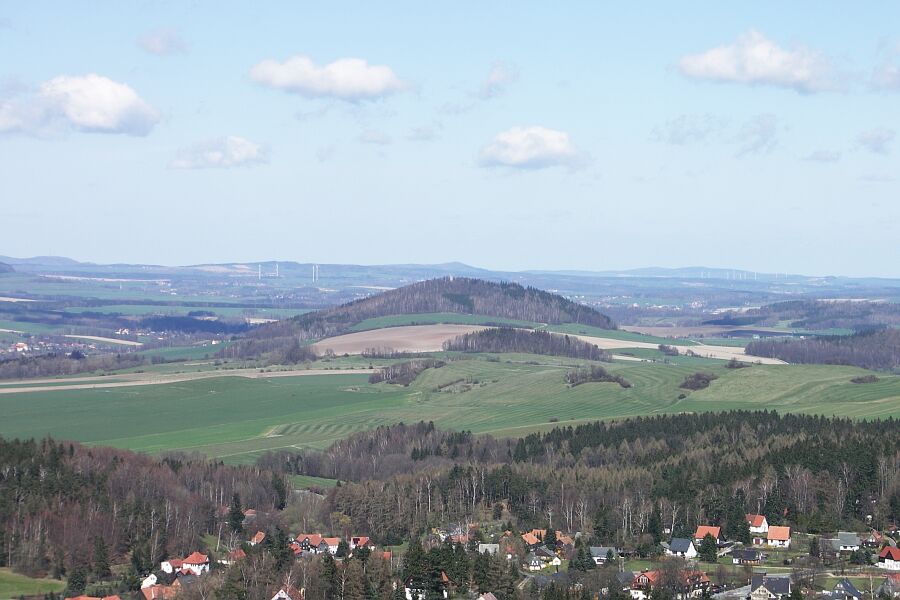
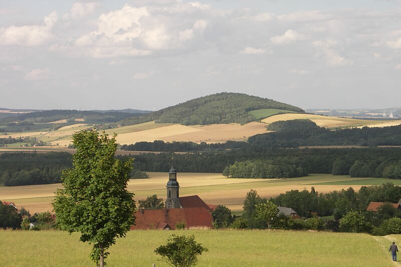
The Breiteberg is a hill in the Lusatian Highlands in Free State of Saxony, Federal Republic of Germany, with an altitude of 510 metres (1,670 ft) above mean sea level. It is the local mountain of Hainewalde, and about half-an-hour's drive from the village. Phonolite covers most of its surface.
There's a hiking trail (T1) leading to the summit. Breiteberg is one of the 19 peaks along the multi-day Oberlausitzer Ringweg.
By prominence Breiteberg is
# 14 out of 520 in Görlitz # 50 out of 4164 in Saxony
We use GPS information embedded into the photo when it is available.
3D mountains overlay
Adjust mountain panorama to perfectly match your photos because recorded by camera photo position might be imprecise.
Move tool
Rotate tool
Zoom
More customization
Choose which peak labels should make into the final photo and what photo title should be.
Next
Photo Location
Satellitte
Flat map
Relief map
Latitude
Longitude
Altitude
OR
Latitude
°'''
Longitude
°'''
Apply
Register Peak
Peak Name
Latitude
Longitude
Altitude
Register
Teleport
PeakVisor
This 3D model of Sagarmatha National Park in Nepal was made using the PeakVisor app topographic data. The mobile app features higher precision models worldwide, more topographic details, and works offline. Download PeakVisor maps today.
Download OBJ model
PeakVisor
The download should start shortly. If you find it useful please consider supporting the PeakVisor app.
PeakVisor for iOS and Android
Be a superhero of outdoor navigation with state-of-the-art 3D maps and mountain identification in the palm of your hand!