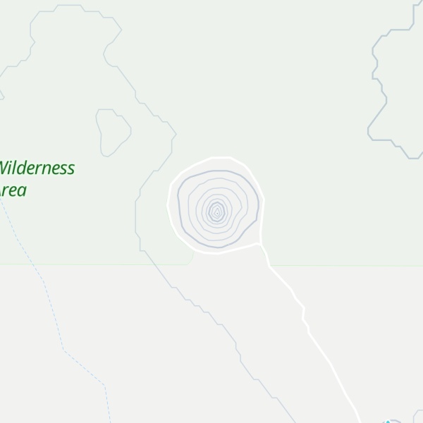
Boars Tusk is an isolated remains of a volcano within the Rock Springs Uplift in the Green River Basin of southwestern Wyoming. It has a peak elevation of 7,101 ft (2,164 m) and rises some 400 ft (120 m) above the surrounding Killpecker Creek plain and lies 26.2 mi (42.2 km) north of Rock Springs. The north end of White Mountain lies 3.0 mi (4.8 km) to the west.
Boars Tusk is an isolated remnant of a long extinct volcano associated with the Leucite Hills to the east. Heavily eroded, all that remains of the volcano is part of the erosion resistant volcanic neck which is composed of the uncommon volcanic rock lamproite. Rock samples from Boars Tusk provided an age of 2.5 MA.
There's a trail leading to the summit.
By elevation Boars Tusk is
# 95 out of 148 in Sweetwater County # 1 out of 1 in Sand Dunes Wilderness Study Area
By prominence Boars Tusk is
# 36 out of 148 in Sweetwater County # 1 out of 1 in Sand Dunes Wilderness Study Area
We use GPS information embedded into the photo when it is available.
3D mountains overlay
Adjust mountain panorama to perfectly match your photos because recorded by camera photo position might be imprecise.
Move tool
Rotate tool
Zoom
More customization
Choose which peak labels should make into the final photo and what photo title should be.
Next
Photo Location
Satellitte
Flat map
Relief map
Latitude
Longitude
Altitude
OR
Latitude
°'''
Longitude
°'''
Apply
Register Peak
Peak Name
Latitude
Longitude
Altitude
Register
Teleport
PeakVisor
This 3D model of Sagarmatha National Park in Nepal was made using the PeakVisor app topographic data. The mobile app features higher precision models worldwide, more topographic details, and works offline. Download PeakVisor maps today.
Download OBJ model
PeakVisor
The download should start shortly. If you find it useful please consider supporting the PeakVisor app.
PeakVisor for iOS and Android
Be a superhero of outdoor navigation with state-of-the-art 3D maps and mountain identification in the palm of your hand!


.jpg)
_3_(48939681228).jpg)