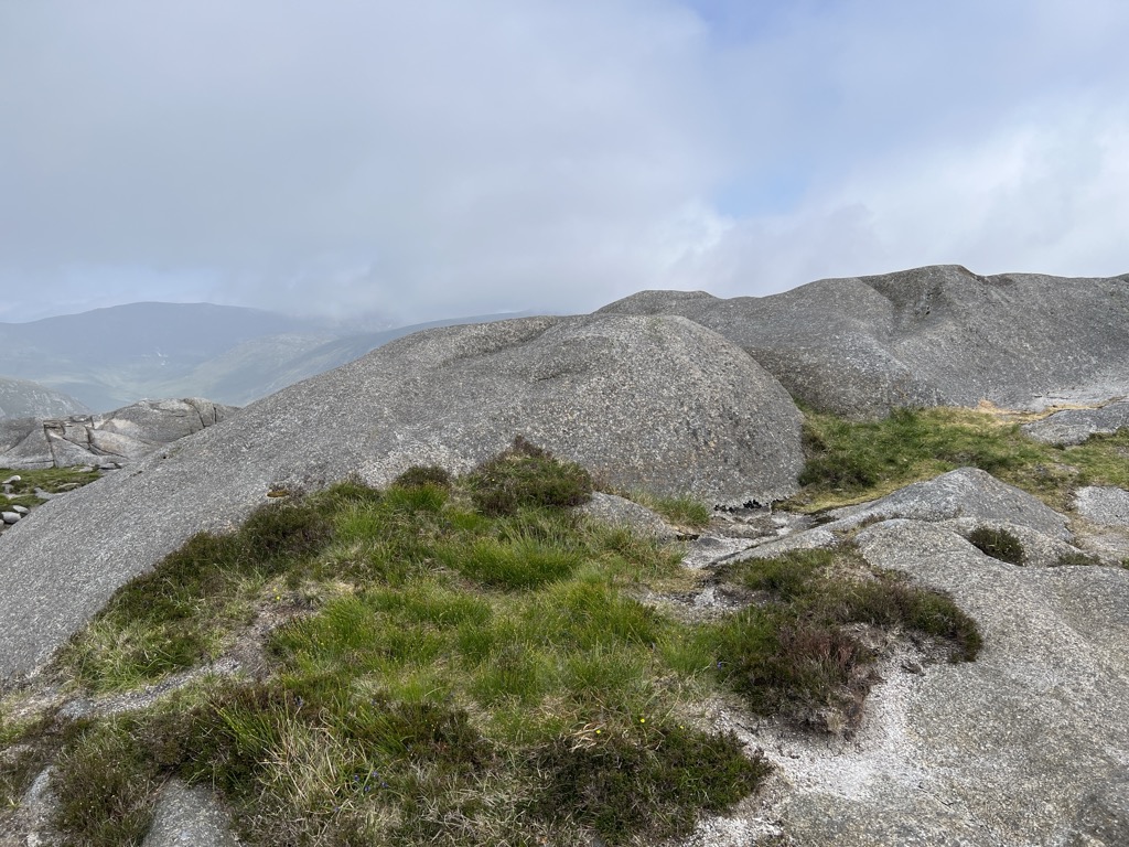
Ben Crom (from Irish Binn Chrom, meaning 'curved/stooped peak') is a 526 metres (1,726 ft) mountain in the Mourne Mountains in County Down, Northern Ireland. It is situated beside Ben Crom Reservoir, which is upstream from Silent Valley Reservoir. The mountain is composed of granite. An exposed area on the south west of the mountain shows where the Eocene aplitic granite meets the laccolith top of the older Mesozoic granite ring dike. The summit of the mountain features granite crags which are crossed by basic and feldspar porphyry dikes. The mountain is used for sheep grazing and hill walking.
There's a trail leading to the summit.
By elevation Ben Crom is
# 27 out of 82 in Mourne & Slieve Croob AONB # 45 out of 343 in Northern Ireland
By prominence Ben Crom is
# 21 out of 82 in Mourne & Slieve Croob AONB # 87 out of 343 in Northern Ireland
We use GPS information embedded into the photo when it is available.
3D mountains overlay
Adjust mountain panorama to perfectly match your photos because recorded by camera photo position might be imprecise.
Move tool
Rotate tool
Zoom
More customization
Choose which peak labels should make into the final photo and what photo title should be.
Next
Photo Location
Satellitte
Flat map
Relief map
Latitude
Longitude
Altitude
OR
Latitude
°'''
Longitude
°'''
Apply
Register Peak
Peak Name
Latitude
Longitude
Altitude
Register
Teleport
PeakVisor
This 3D model of Sagarmatha National Park in Nepal was made using the PeakVisor app topographic data. The mobile app features higher precision models worldwide, more topographic details, and works offline. Download PeakVisor maps today.
Download OBJ model
PeakVisor
The download should start shortly. If you find it useful please consider supporting the PeakVisor app.
PeakVisor for iOS and Android
Be a superhero of outdoor navigation with state-of-the-art 3D maps and mountain identification in the palm of your hand!