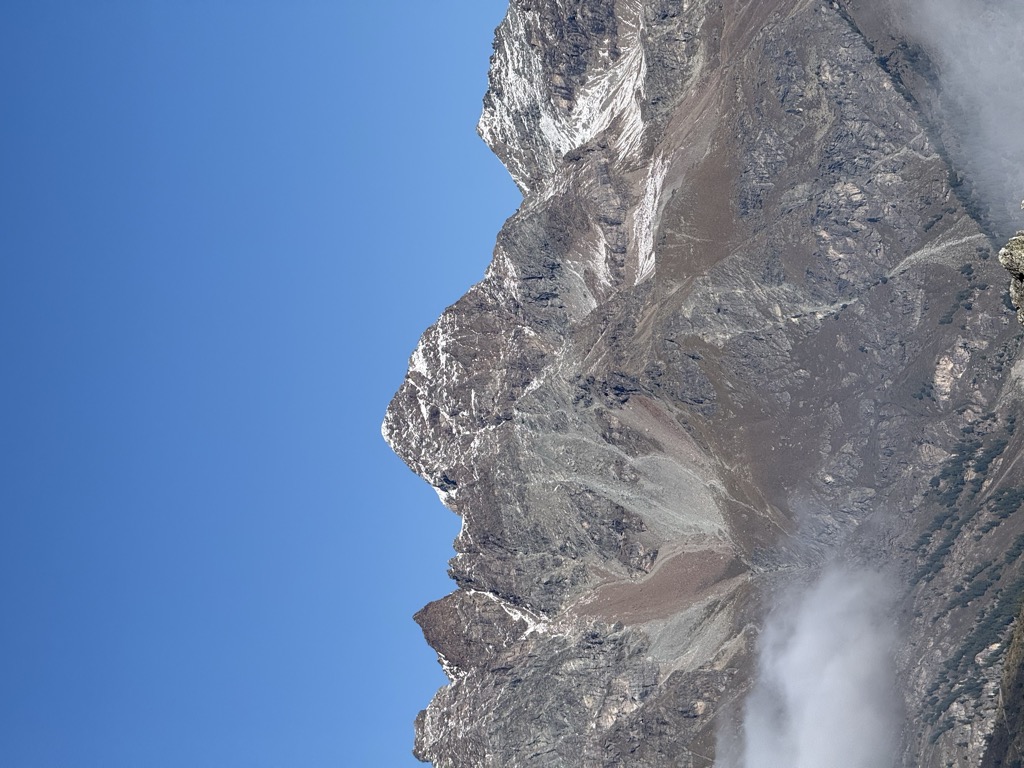
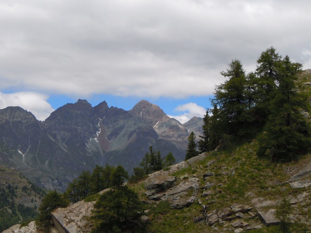
Becca di Luseney (French: Pic de Luseney) (3,502m) is a mountain of the Pennine Alps in Aosta Valley, northwest Italy. It has a pyramidal look on all four sides, and its north face is covered with a glacier. A huge rockfall from its southwest face came down in 1952, completely destroying the village of Chamen and other settlements in the Valpelline valley. The mountain was first climbed in 1866.
The nearest mountain hut is Bivacco Chentre Carlo Bionaz Ettore located 1 454m/4 769ft NW of the summit.
By prominence Becca di Luseney is
# 14 out of 1186 in Aosta Valley # 14 out of 2009 in the Pennine Alps
We use GPS information embedded into the photo when it is available.
3D mountains overlay
Adjust mountain panorama to perfectly match your photos because recorded by camera photo position might be imprecise.
Move tool
Rotate tool
Zoom
More customization
Choose which peak labels should make into the final photo and what photo title should be.
Next
Photo Location
Satellitte
Flat map
Relief map
Latitude
Longitude
Altitude
OR
Latitude
°'''
Longitude
°'''
Apply
Register Peak
Peak Name
Latitude
Longitude
Altitude
Register
Teleport
PeakVisor
This 3D model of Sagarmatha National Park in Nepal was made using the PeakVisor app topographic data. The mobile app features higher precision models worldwide, more topographic details, and works offline. Download PeakVisor maps today.
Download OBJ model
PeakVisor
The download should start shortly. If you find it useful please consider supporting the PeakVisor app.
PeakVisor for iOS and Android
Be a superhero of outdoor navigation with state-of-the-art 3D maps and mountain identification in the palm of your hand!