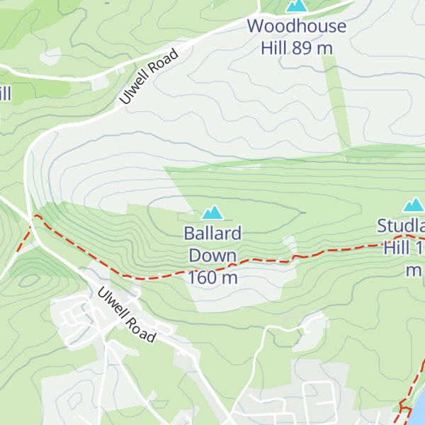
Ballard Down is an area of chalk downland on the Purbeck Hills in the English county of Dorset. The hills meet the English Channel here, and Ballard Down forms a headland, Ballard Point, between Studland Bay to the north and Swanage Bay to the south. The chalk here forms part of a system of chalk downlands in southern England, and once formed a continuous ridge between what is now west Dorset and the present day Isle of Wight. Old Harry Rocks, just offshore from the dip slope of the down, and The Needles on the westernmost tip of the Isle of Wight, are remnants of this ridge. The scarp slope of the down faces south, over Swanage, meeting the sea as Ballard Cliff.
The down was an area of calcareous grassland for up to 1000 years until World War II, when there was a sudden rise in the need for arable agricultural land. The down is now owned by the National Trust, and has largely been returned to grassland. The National Trust allows grazing on the down to prevent it becoming a natural beech woodland climax community.
The obelisk at Ballard Down commemorates the provision of a new supply of drinking water for Swanage in 1883. Erected in 1892 by George Burt, it was taken down in 1941 as it was a landmark that might have aided enemy aircraft during World War II, but was re-erected in 1952.
Ballard Down forms the easternmost part of the Jurassic Coast World Heritage Site.
The BBC's adaptation of EM Forster's novel 'Howards End' (2017) used Ballard Down as a location.
By prominence Ballard Down is
# 34 out of 266 in Dorset AONB # 40 out of 410 in Dorset
We use GPS information embedded into the photo when it is available.
3D mountains overlay
Adjust mountain panorama to perfectly match your photos because recorded by camera photo position might be imprecise.
Move tool
Rotate tool
Zoom
More customization
Choose which peak labels should make into the final photo and what photo title should be.
Next
Photo Location
Satellitte
Flat map
Relief map
Latitude
Longitude
Altitude
OR
Latitude
°'''
Longitude
°'''
Apply
Register Peak
Peak Name
Latitude
Longitude
Altitude
Register
Teleport
PeakVisor
This 3D model of Sagarmatha National Park in Nepal was made using the PeakVisor app topographic data. The mobile app features higher precision models worldwide, more topographic details, and works offline. Download PeakVisor maps today.
Download OBJ model
PeakVisor
The download should start shortly. If you find it useful please consider supporting the PeakVisor app.
PeakVisor for iOS and Android
Be a superhero of outdoor navigation with state-of-the-art 3D maps and mountain identification in the palm of your hand!