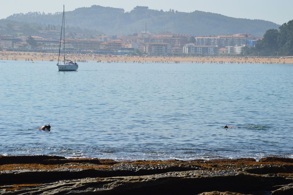
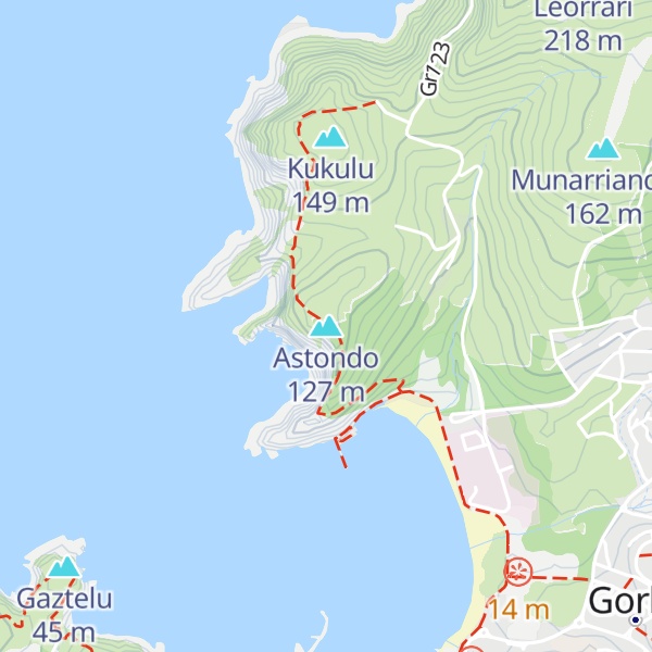
Astondo is located in the north of Spain, in the Basque Country, Bizkaia, Gorliz. In the same sea, with Plentzia and Gorliz forms one of the biggest beaches of the cost of Bizkaia, concretely has a length of 4 km and 200 metres of cliffs. In the north-west is making boundary with the Bay of Biscay. The main neighborhoods near Astondo are: Areatza, Andra Mari, Gandia and Urezarantza.
In this small area there is a variety of natural surroundings, and in the east part are situated Ermua (288m.), Urzuri (270m.) and Aizkorri (148m.) mountains. In the south part is located the Martiartu ( 123m.) and Junkera (84m.) mountains. Near Astondo it is also located the Billano isle.
There's a trail leading to the summit. Astondo is one of the 49 peaks along the multi-day GR 123 Vuelta a Bizkaia / Bizkaiko bira.
By elevation Astondo is
# 7 out of 16 in Mundakako itsasadarra-Ogoño lurmuturra BBE/ZEPA Ría de Mundaka-Cabo de Ogoño
By prominence Astondo is
# 3 out of 16 in Mundakako itsasadarra-Ogoño lurmuturra BBE/ZEPA Ría de Mundaka-Cabo de Ogoño
We use GPS information embedded into the photo when it is available.
3D mountains overlay
Adjust mountain panorama to perfectly match your photos because recorded by camera photo position might be imprecise.
Move tool
Rotate tool
Zoom
More customization
Choose which peak labels should make into the final photo and what photo title should be.
Next
Photo Location
Satellitte
Flat map
Relief map
Latitude
Longitude
Altitude
OR
Latitude
°'''
Longitude
°'''
Apply
Register Peak
Peak Name
Latitude
Longitude
Altitude
Register
Teleport
PeakVisor
This 3D model of Sagarmatha National Park in Nepal was made using the PeakVisor app topographic data. The mobile app features higher precision models worldwide, more topographic details, and works offline. Download PeakVisor maps today.
Download OBJ model
PeakVisor
The download should start shortly. If you find it useful please consider supporting the PeakVisor app.
PeakVisor for iOS and Android
Be a superhero of outdoor navigation with state-of-the-art 3D maps and mountain identification in the palm of your hand!