Scan the QR code and open PeakVisor on your phone
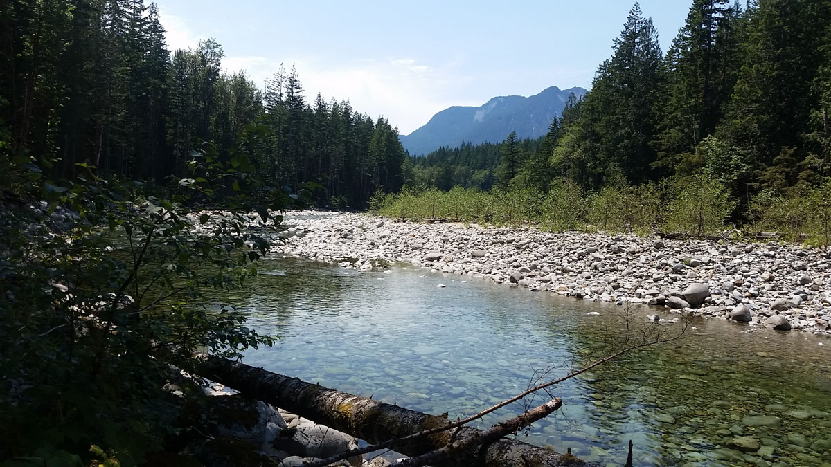
Wild Sky Wilderness is a 106,577-acre wilderness area in the western Cascade Range of Washington. Nestled within the Mount Baker-Snoqualmie National Forest, Wild sky flanks the North Fork Skykomish River and the Beckler River and sits adjacent to the Henry M. Jackson Wilderness.
Despite receiving extensive support from locals, it took many years and legislative attempts to protect the Wild Sky Wilderness. It wasn’t until 2008 that Wild Sky became the newest addition to a 2.6 million-acre wilderness complex that spans from Canada to Snoqualmie Pass.
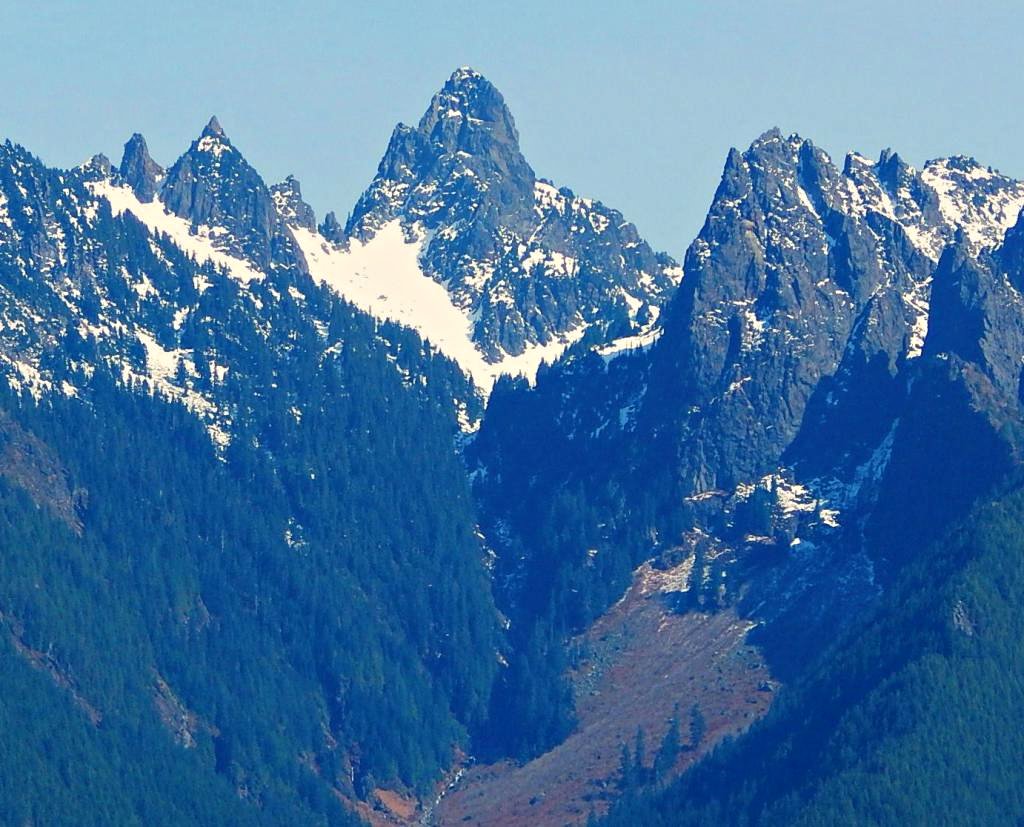
Interestingly, unlike neighboring wilderness areas in the Cascades, Wild Sky protects mostly high productivity, low elevation forest. In fact, two of the most iconic summits in Wild Sky, Gunn Peak, and Baring Mountain barely exceed 6,000 feet in elevation. This lack of altitude, however, can be deceiving. These craggy Wild Sky summits are two of the steepest peaks in the state.
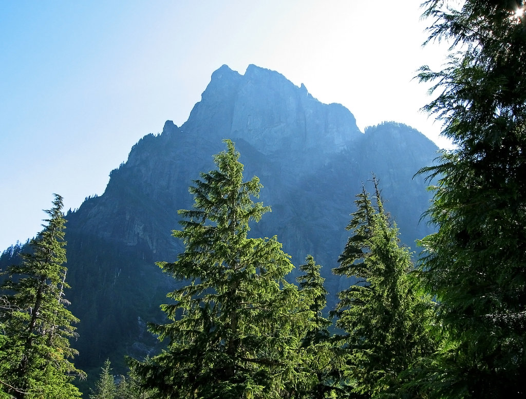
Baring Mountain, in particular, is the third steepest summit in Washington state and rises abruptly from the Skykomish River. Its large, sheer Northeast Face drops 2,460 feet in just 820 feet and another 1,250 feet to Barclay Lake. So, despite its elevation, Baring Mountain’s sheer vertical face has a commanding presence in the Cascades. Baring Mountain is often admired by locals driving along highway 2 toward Stevens Pass.
Despite their lack of elevation, local hikers and climbers maintain that ascending Wild Sky summits is just as challenging as some higher-elevation Cascade peaks. Out of the 28 named summits in Wild Sky, only five peaks have official, established trails leading to their summits – Evergreen Mountain, Beckler Peak, Sunrise Mountain, Scorpion Mountain, and West Cady Ridge. So, if you’re looking to climb an impressive Wild Sky summit, like Gunn Peak, you may need to follow logging roads, fisherman trails, hunting trails, or blaze your own trail to the top.
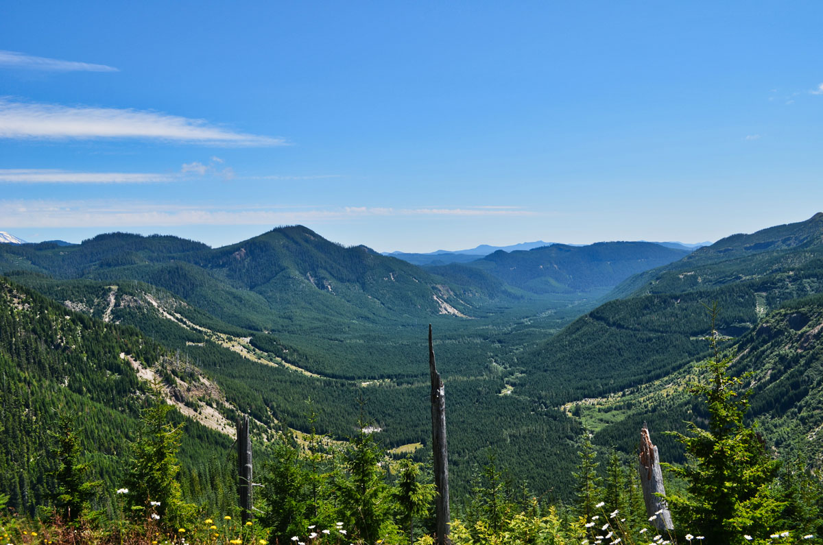
Wild Sky can be divided into five regions: The Ragged Ridge Region, Sky Peaks Region, Troublesome Creek Region, West Cady/North Fork Region, Rapid River Region, and Kelley Creek Region.
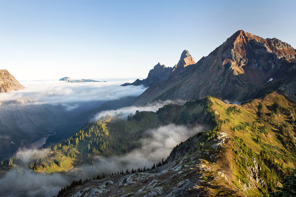
The Ragged Ridge Region sits north of Index and west of Silver Creek. This region is considered the roughest region and contains Mount Stickney, Zekes Peak, Ragged Ridge, and Mineral Butte. The Sky Peaks Region is the largest and arguably most frequented region. The Sky Peaks region is known for its tall, craggy summits, like Baring Mountain, Merchant Peak, and Gunn Peak. The West Cady/North Fork Region, which contains Excelsior Mountain and West Cady Ridge, is another popular destination for local climbers and mountaineers. Mostly, this region is used as a gateway to wilderness areas outside of Wild Sky. The Troublesome Creek region is best-known for housing Scott Peak, Hubbart Peak, and Troublesome Mountain, as well as large old-growth and second-growth forests. The Rapid River Region sits on the eastern section of Wild Sky and is best-known for housing Evergreen Mountain, Sunrise Mountain, and Scorpion Mountain. The Kelley Creek Region contains recognizable summits like Mount Fernow, Beckler Peak, and Alpine Baldy. This region also contains an alpine wetland area.
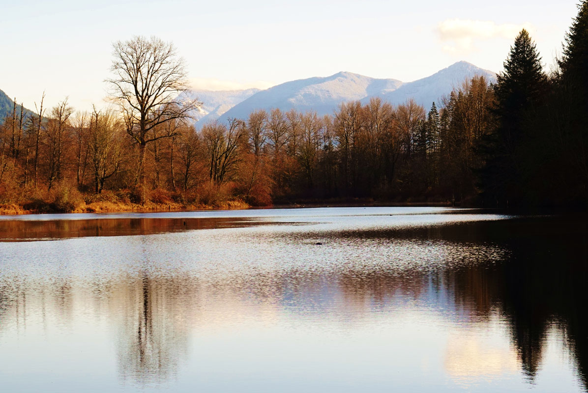
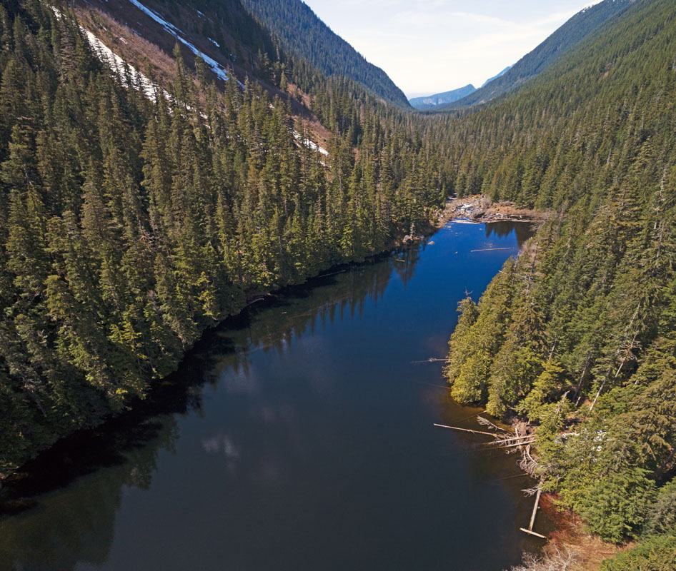
Not all visitors to Wild Sky are interested in climbing trail-less, isolated peaks. But one of the area’s most cherished qualities is vast spans of low-elevation, old-growth forest and highly accessible alpine lakes like Barclay Lake, which sits at the foot of Baring Mountain, and Eagle Lake, which sits in the shadow of Merchant Peak. So, although Wild Sky isn’t the largest or tallest of Washington’s wilderness areas, its proximity to Seattle (90 minutes) and accessibility to pristine alpine landscapes make it a worthwhile destination for visitors to the Evergreen State.
The Barclay Lake trail is a 2.20-mile, well-maintained, family-friend footpath that follows the path of Barclay Creek between Gunn Peak, Merchant Peak, and Baring Mountain. This trail is a popular destination for beginner backpackers and day hikers. The trail itself only gains a net 200 feet of elevation, but there’s enough up and down to keep hikers of all ages entertained. Technically, Barclay Lake was not included in the Wild Sky Wilderness because larger groups are not permitted in wilderness areas. However, the trail provides access to the Wild Sky Wilderness via spur trails and sits at the foot of Baring Mountain, one of Wild Sky’s most illustrious summits.
Rumor has it, Harvey Manning, a hiking advocate, was upset that logging in the lower Eagle Creek basin made access to Eagle Lake too easy, so he intentionally omitted directions to the trailhead in one of his guidebooks. In fact, the sign posted at the parking area erroneously indicates the location of the trailhead. Fortunately, local hikers have corrected the error with black marker, so if you reach the ‘wrong’ sign, you’re in the right place. The trail begins at Barclay Lake. To reach Eagle Lake, continue around Barclay Lake to locate a semi-hidden trail leading north into the forest. The Eagle Lake trail is not well-maintained and can be difficult to find, but once you locate the path, follow the boot-path of fellow hikers to reach the banks of Eagle Lake and the remnants of an old fishing shack.
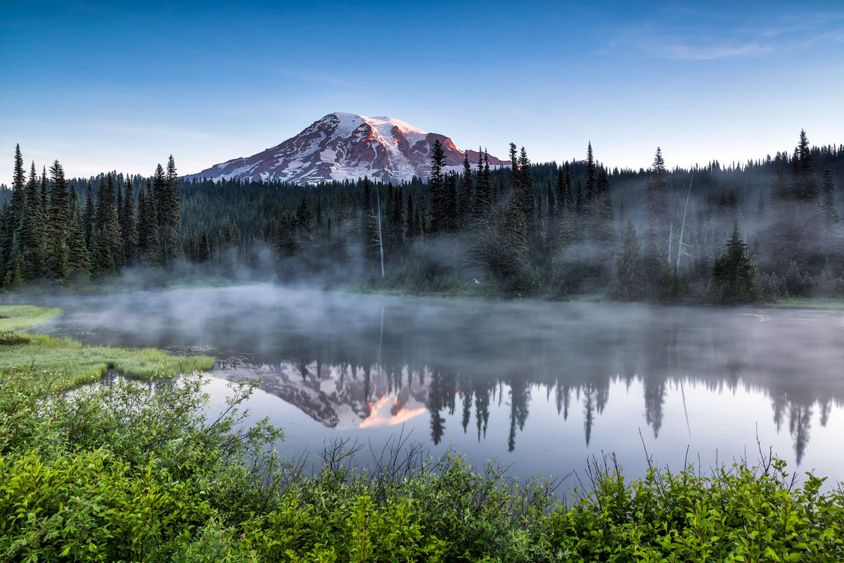
The Evergreen Mountain Lookout stands over the western flanks of Wild Sky, perched atop its namesake mountain. The lookout was built in 1935 to detect wildfires and was used in World War II as an Aircraft Warning Station. In the 1990s, the lookout was placed on the National Register of Historic Places and has since become a popular hiking destination in the Wild Sky Wilderness. The lookout can be accessed via a steep, scenic hiking trail and offers a few basic amenities for overnight visitors. On a clear day, visitors will appreciate sweeping views of Glacier Peak, Mount Daniels, Keyes Peak, Mount Rainier, and portions of the nearby Henry M. Jackson Wilderness.
Featuring panoramic views of the Central Cascades, the trek to Scorpion Mountain climbs to the top of Sunrise Mountain before reaching ascending to over 5,500 feet. From Scorpion Mountain, hikers are rewarded with views of Poet Ridge, Grizzly Mountain, Mount McCausland, and the Chiwaukum to the east, Captain Point, Fernow, Daniel, Hinman, and Cathedral Rock to the south, Evergreen, Sloan, Benchmark, and Fortune, to the north, and Baring, Spire, Troublesome, and Rainer to the west.
Skykomish was once a booming railroad and logging town nestled at the edge of the Skykomish River Valley. Today, this quaint mountain community is known as the gateway to some of Washington’s most beloved wilderness areas. Hiking, mountain biking, snowmobiling, and kayaking are just a handful of the popular recreation options available in Skykomish. Not to mention, Skykomish is nearby Stevens Pass Mountain Resort, which offers world-class downhill and cross-country skiing. The historic Cascadia Inn, which has been welcoming guests in the Skykomish Valley since the 1920s, serves as the perfect mountain getaway for visitors looking to explore the Cascades and nearby wilderness areas.
Gold Bar is another tiny mountain town tucked within the Skykomish River Valley between Sultan and Index along U.S. Route 2. Gold Bar isn’t the biggest or most glamorous city, but when it comes to outdoor recreation, Gold Bar is the ideal getaway to the Cascades. Gold Bar is a popular destination for nature-lovers, white-water rafters, climbers, and history buffs. The community is near Lake Serene and Bridalveil Falls, a popular hiking destination, and is less than an hour from Stevens Pass. Gold Bar offers a variety of accommodations and restaurants for visitors.