Scan the QR code and open PeakVisor on your phone
Tsarmitunturi Wilderness Area is one of Finland's 12 such areas in the Lapland region beyond the Arctic Circle. The main feature of the area is its highest and the most prominent mountain, Akalauttapää (506 m / 1,660 ft), located in the middle of the northernmost contiguous forest without human influence in the country. The summit itself offers spectacular views to neighboring no less beautiful territories. You will also have time to view Lapland nature in plenty of detail during a multi-day hike without marked trails through the area, as its name suggests. In total there are 10 named mountains in Tsarmitunturi Wilderness Area.
The name of the wilderness area comes from the name of one of its three main natural features, the Tsarmitunturi Plateau. The Finns themselves also call it Tsarmi for short.
In turn, this word is from the language of the Sámi, the local indigenous population. Its exact meaning is unknown, but as the Finns themselves point out, "Many of the place names in the area are connected with hunting and fishing. Deer, bear, roe and otter were the most important game species in the past, so many places are named after them."
The name of the territory in Finnish is Tsarmitunturin erämaa-alue.
Tsarmitunturi Wilderness Area is located in the municipality of Inari south of the lake of the same name in eastern Lapland, the largest of Finland’s 19 regions, occupying the entire north and about 1/3 of the country.
The area itself is the smallest of the 12 wilderness areas at 153 sq km 59 (sq mi). By comparison, the largest, Kaldoaivi, in the north of the same municipality reaches a size of 2924 sq km (1129 sq mi)—19 times larger.
The boundaries of the area can only be clearly delineated to the east, where they coincide with the national border between Finland and Russia.
Tsarmitunturi can be reached from the nearest relatively large settlement, Ivalo, one of the two Sámi capitals on par with Inari.
The area lies between roads 969 and 91 to the smaller villages of Sarmijärvi and Nellim in the north and Ruohokangas and Raja-Jooseppi on the Finland-Russia border in the south. The latter is the preferred option. After about 20 km (mi) you will need to take the forest road towards Nangujärvi Lake, the largest one west of the territory’s border, and then some additional smaller roads, which will lead you to Tsarmitunturi eventually.
By public transport you can get to Nellim from Ivalo by bus, from where it is about 10 km (6 mi) on foot to the northern borders of the wilderness.
In turn, you can fly to Ivalo by plane from Helsinki.
The flora and fauna of the wilderness area have the same features as those of Lapland as a whole.
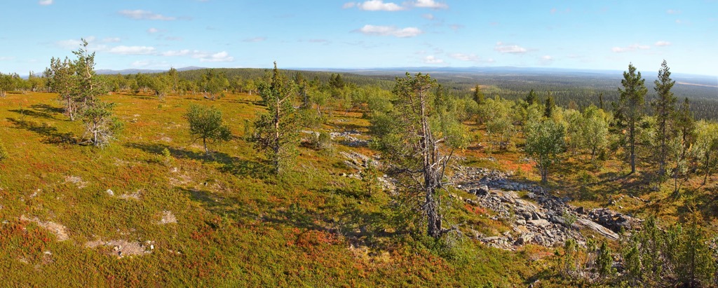
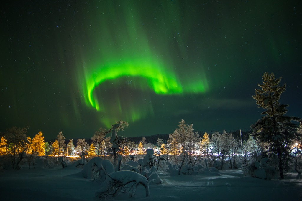
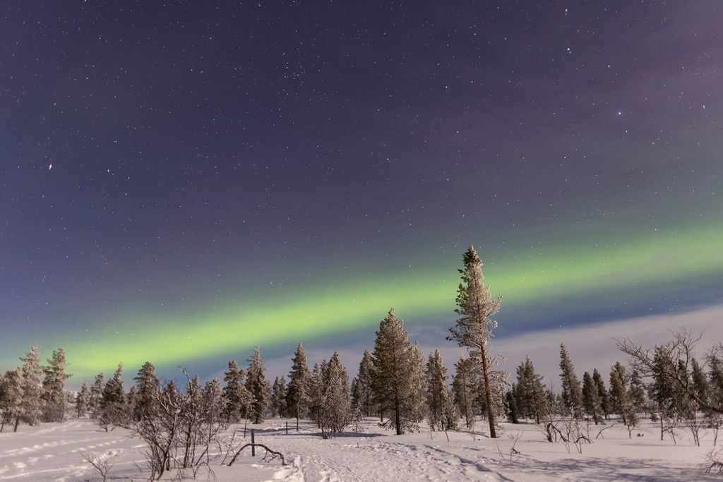
It is an area beyond the Arctic Circle that is covered with endless spruce and pine forests. This particular area is distinguished by the fact that it is the northernmost continuous spruce forest in Finland without human influence and is therefore protected. This is the main feature of the area.
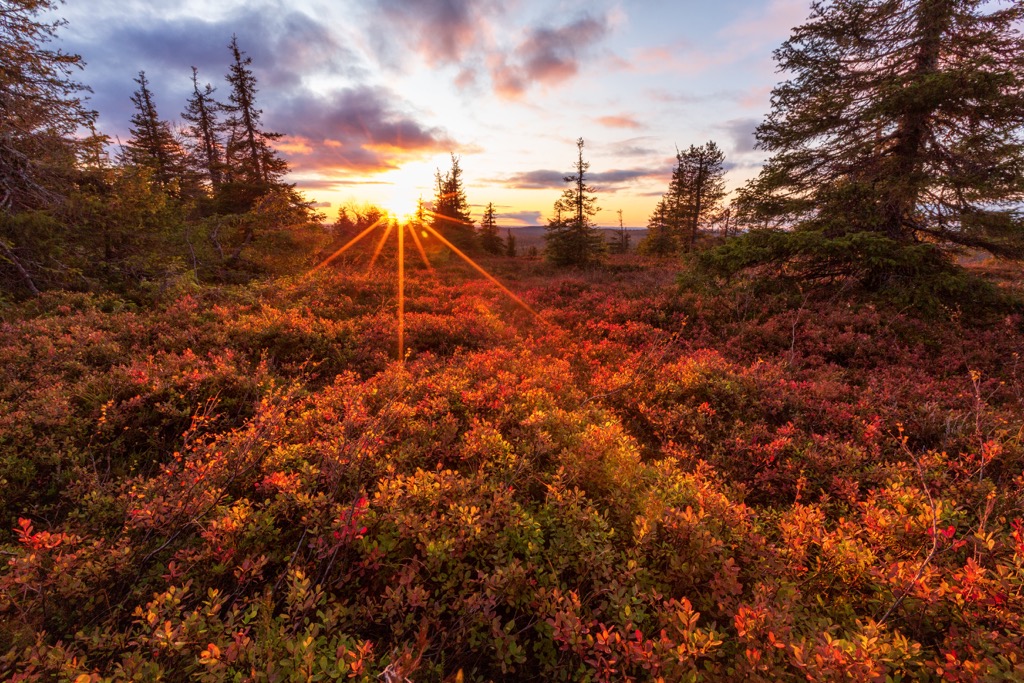
As you move further north the evergreen forests give way to mountain birch forests, which, however, in Tsarmitunturi are poorly developed, after which begins tundra with uplands covered with low vegetation with an abundance of berry plants such as blueberries and cranberries.
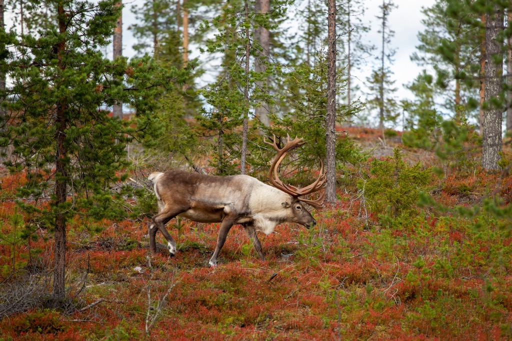
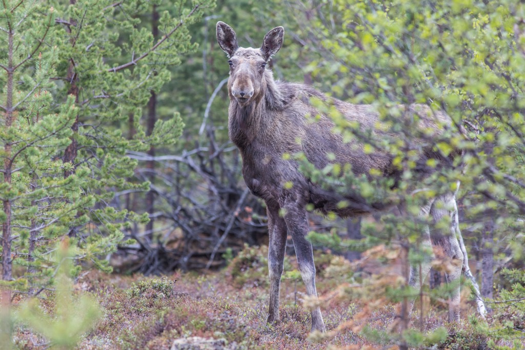
The main big wild animal in the area and Lapland as a whole is the reindeer, but bears, foxes, hares, and lots of smaller animals can also be found here.
Lapland also lies on the migration route of many arctic birds, and the region’s waters—lakes and rivers — are home to many valuable fish species, including salmonids.
The mountains of Tsarmitunturi Wilderness Area have three main features: Tsarmitunturi Plateau, Akalauttapää (506 m / 1660 ft) — the highest mountain of the territory, and large and deep Pahakuru Gorge located between them.
Akalauttapää is situated in the south of an area, so that it is relatively achievable. Like the other 9 named peaks, it belongs to the nonexistent Karelides range—a long chain of hills stretching from the south of Karelia region along the entire eastern border of the country. In Lapland they merge with the Kola domain mountains in the east and the Scandinavian Mountains in the west of the region.
The peak of Akalauttapää offers spectacular views of the Saariselkä area to the southwest of the territory, Hammastunturi to the west, and the much larger Khibiny Mountains to the east in Russia.
The most notable peak in the north of the territory, Sarmitunturi (402 m / 1318 ft), offers roughly the same views.
In some other larger wilderness areas you can still find dirt roads and so-called “people’s trails” that were paved long before you, but not in Tsarmitunturi Wilderness Area, where there are not even such obvious roads, let alone marked hiking trails. That is, you can only navigate it by yourself using knowledge, experience, and equipment, including GPS and paper maps.
The nearest larger areas with marked trails are Urho Kekkonen National Park in the south and two other less remote wilderness areas, Hammastunturi in the west and Vätsäri in the north.
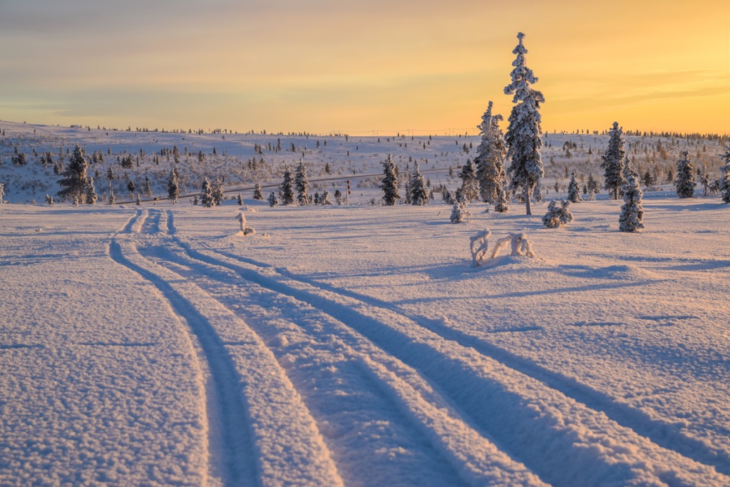
There are no marked ski routes in the Tsarmitunturi either. But the sled tracks of reindeer herders make it easy for skiers to navigate the rugged terrain if you decide to embark on a winter adventure.
The nearest ski resort is Saariselkä with 7 km (4 mi) of slopes and 5 ski lifts.
Learn more about Finland’s ski resorts in the World Mountain Lifts section on PeakVisor, including open slopes and ski lifts in real-time.
Before and after the hike, visit the official tourist office in Ivalo to pick up a paper map, ask for advice, and so on:
Ivalo Customer Service
Ivalontie, 10, 99800, Ivalo, Finland
+358206397701
There are two open wilderness huts in Tsarmitunturi Wilderness Area: Artan kamppa and Ahvenlampi, located in the center.
There are also three rented huts in the south: Nangujärvi, Kolmosjärvi, and Kolmosjoki, which, as the name suggests, can be booked in advance via https://www.lomarengas.fi.
There are no camping sites in the wilderness area, but you can camp anywhere you like and set up a campfire following the Everyman’s Right law, but for the latter only fallen branches and trees are allowed by the Forest Board of Finland. It is also forbidden to make a fire during the period of the possibility of forest fires, which usually lasts all summer.
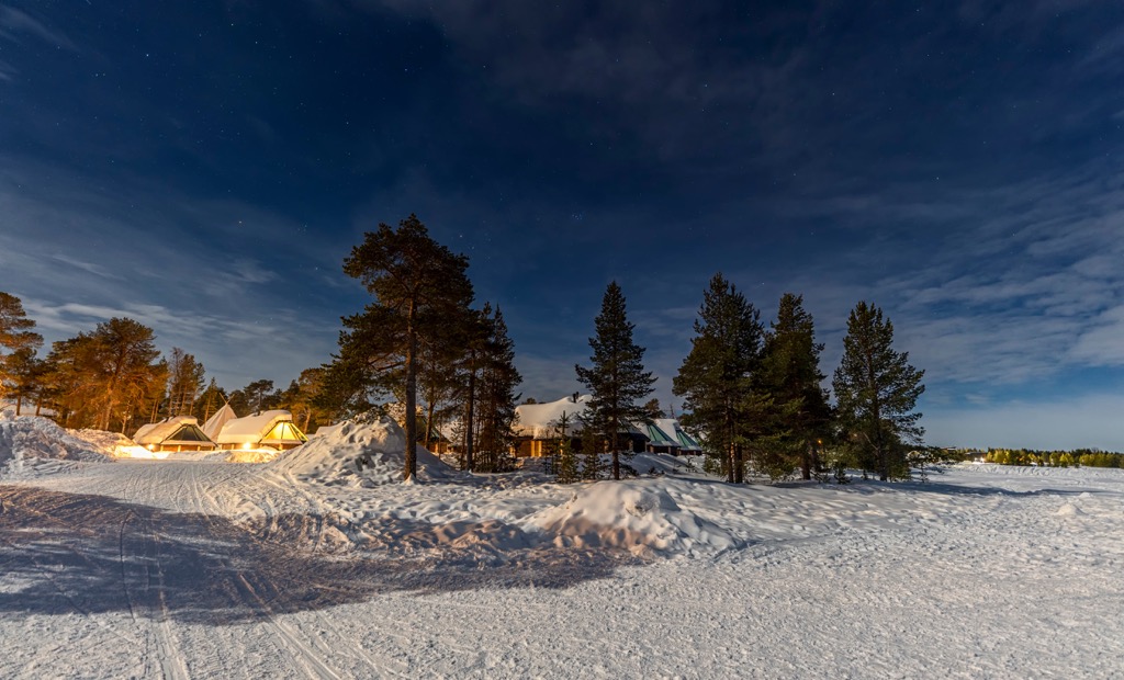
Before and after the hike, you can find lodging in Ivalo. Most likely, it will be a traditional Finnish cottage wish sauna on the bank of a lake or river.
Since Tsarmitunturi has historically been one of the wildest areas in Finland, used mainly for hunting and fishing, as well as reindeer herding, there are no major settlements other than those already listed in the guide: Ivalo, Nelim and Saariselkä. To learn more about them, read guides to Lapland, Vätsäri Wilderness Area and Urho Kekkonen National Park, respectively.