Scan the QR code and open PeakVisor on your phone
Sipoonkorpi National Park is one of the 10 most visited of the 41 national parks in Finland, which is located in the Uusimaa region. The main feature of the park is the Sipoonjoki River and its picturesque valley with green fields and meadows, which are used for growing crops and grazing. However, the park is not devoid of rocky hills and cliffs, from which you can observe it, as well as hiking trails within an hour’s drive from the city of Vantaa, one of the districts of Helsinki. There is also the namesake mountainous Sipoo Bay (Sipoonlahti) to the south of the park—one of the “100 Nature Pearls of Finland» (100 luonto helmeä). There are 5 named mountains in Sipoonkorpi National Park. The highest and most prominent mountain is Gillerberget (80 m / 262 ft).
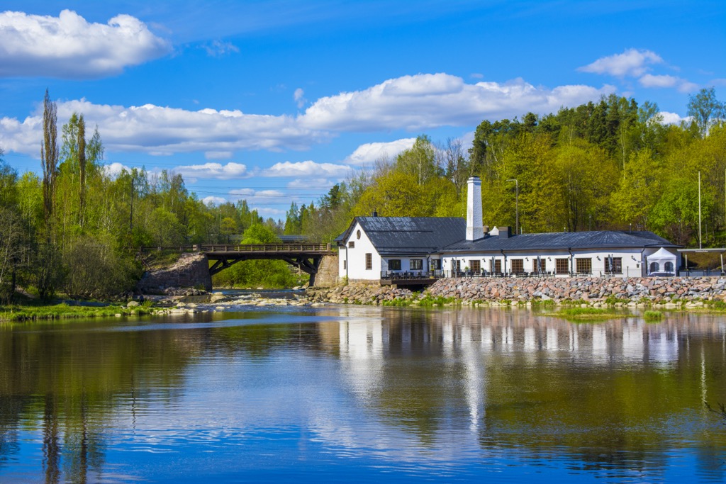
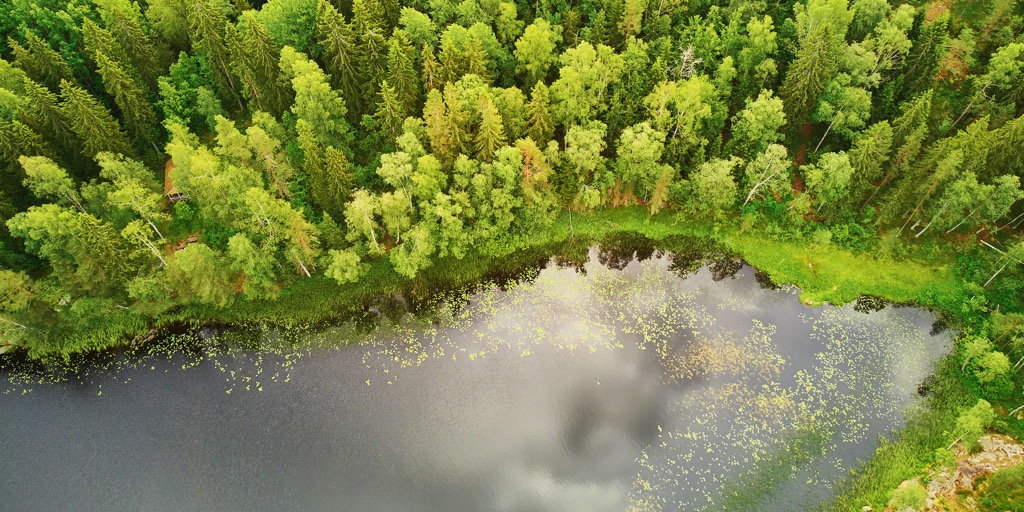
Sipoonkorpi National Park gets its name from Sipoonjoki River or Sibbo å in Swedish, which is 37 km (23 mi) long and flows in a north-south direction east of the park until it reaches into the eponymous Sipoo Bay (Sipoonlahti) of the Gulf of Finland of the Baltic Sea. It is one of the largest rivers in the region, but it is a calm and relatively shallow river, popular for kayaking, SUP, and other water sports among locals, although it used to be navigable. The river has eight main tributaries, one of which, the Byabäcken River, flows through the northern part of the park, which is also a conservation area within the Natura 2000 network of parks.
The name of the park is Sipoonkorven kansallispuisto and Sibbo storskogs nationalpark, respectively, in Finnish and Swedish. Unofficially, the Finns themselves also call the park "The Last Wilderness of the Capital Region of Helsinki. You'll find out why next.
Sipoonkorpi National Park is a relatively small (24 sq km / sq mi) and new (established in 2011) park located in the municipality of Sipoo in the northeastern part of the Uusimaa region with its capital in Helsinki. In addition to it, the region includes such well-known parts as Espoo and Vantaa, the latter of which is closest to the park, just 10 km (6 mi) to the west, that is almost on its borders. Theoretically, you can reach the park on foot right from the city. And it will not be an urban walk, because the forest in Finland begins just outside the center of the city—any city, even the capital Helsinki, from which Sipoonkorpi National Park is 34 km (21 mi) away.
The proximity to the Finnish capital makes the Sipoonkorpi National Park one of the 10 most visited of the 41 such parks in the country with also more than 100,000 official visits in the last four years each (2022–2019). They are counted automatically by electronic visitor counters at the entrances to the parks. It is preceded by Pallas-Yllästunturi National Park (594,300 visitors in 2022), Urho Kekkonen National Park, Nuuksio National Park, and others.
The popularity of the latter, just north of Helsinki, is due to the same fact. It is much more famous than Sipoonkorpi, because of more forest landscape with many lakes and the large size, and the main Finnish Haltia Nature Center. And they’re right—the park’s landscape is amazing for such a metropolitan region. So I would not say that Sipoonkorpi can be considered an alternative to it, but it is a, let's say, good park #2 near Helsinki to visit if you have been to Nuuksio.
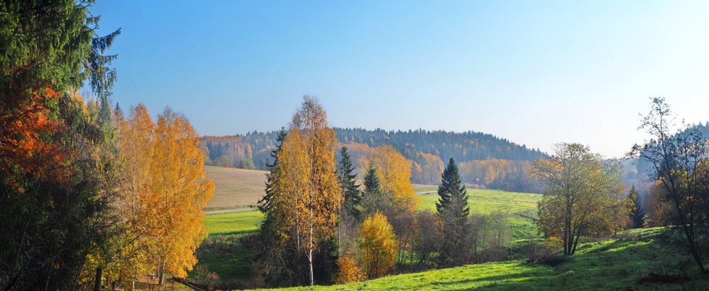
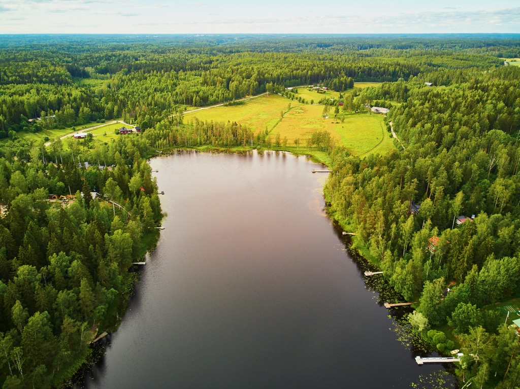
As for Sipoonkorpi’s landscape features, in addition to its rivers and valleys with picturesque meadows and fieldsб which are used for growing crops and grazing, are the low rocky granite hills in the northern part of the park, which are excellent natural lookouts and places for hiking. Consequently, the southern part of the park is flatter. In total, in Sipoonkorpi you can admire two national landscapes of the country at once—forests and meadows. There are also several small lakes within the park, but as I said, there are more in Nuuksio.
The flora and fauna of Sipoonkorpi National Park are diverse and important to the Uusimaa region, due to its biodiversity and some unique species:
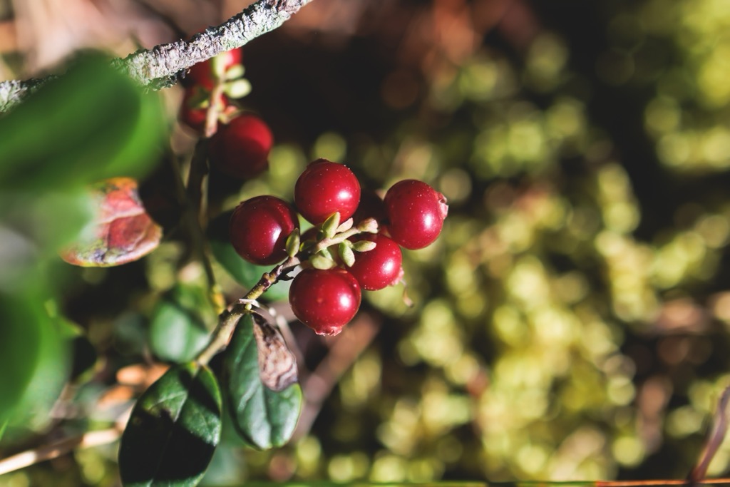
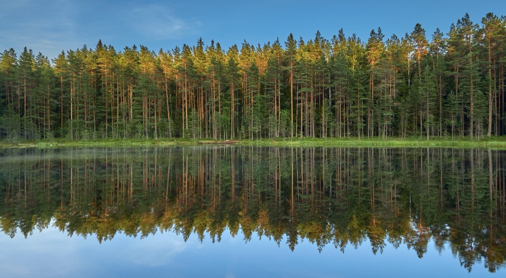
The rocky hills in the northern part of the park are covered with dense forests dominated mostly by Norway spruce. Within the forests, there are also many swamps with their micro-ecosystems. Otherwise, as it has already become clear, the area is covered with meadows and fields, on which grows a huge variety of flowers.
As for the fauns, except for the national park, the valley of the Sipoo River is also a conservation area within the Natura 2000 network, because of its natural trout population. However, the main animal of the park is the Eurasian eagle owl, the largest of its kind. It is depicted on the park’s emblem, which all national parks in the country have.
There are 5 named mountains in Sipoonkorpi National Park, which are located along its western borders.
In search of mountains and other great natural landscapes associated with the name ‘Sipoo’, I also highly recommend going beyond the park boundaries and reaching the narrow and mountainous Sipoo Bay (Sipoonlahti in Finnish). It is a very picturesque place, which is rare for the coastline of the country due to the fact that in its northern part, you can find several kilometers (miles) of coastline completely undeveloped by a human, hence it remains wild.
Sipoonlahti is also one of the “100 Nature Pearls of Finland» (100 luonto helmeä)—a list made by the Finnish Association for Nature Conservation (FANC), which was compiled as part of the larger “Finland 100” project marking the 100th anniversary of the country’s independence from Sweden and Russia (1917–2017).
On a larger scale, Sipoo Bay is also part of the vast archipelago of hundreds of thousands of rocky islands in the Gulf of Finland of the Baltic Sea, which stretches from the eastern borders of Helsinki to the western borders of St. Petersburg in Russia, as a city of federal importance.
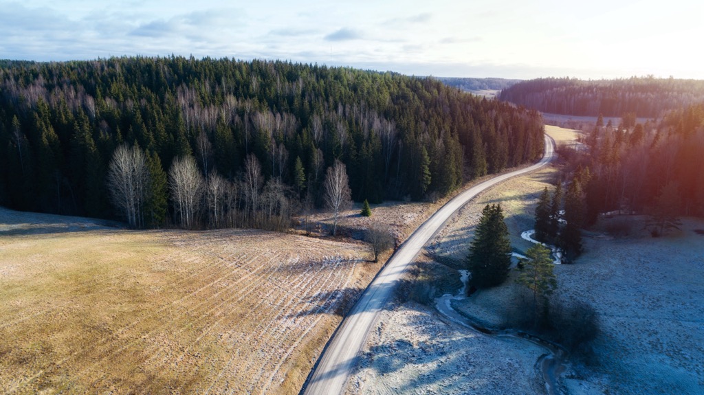
In addition to the routes, which I just named above, Sipoonkorpi National Park has three more hiking trails: Fiskträsk Trail of 4.7 km (3 mi)—the second longest, along with Kalkinpolttaja Trail, Knuters Trail of 3.8 km (2.3 mi), and short Bakunkärr Trail and Byabäcken Nature Trail of 2 km (0.6 mi) each. The latter is the only marked trail in the northern part of the park, the others lie in the wider southern part. So in total, there are more than 20 km (12 mi) of routes. You can also easily combine some of them to get longer trails.
The already mentioned Kuusijärvi Lake just a little to the west of the park borders is also a popular outdoor recreation area among Vantaa residents on the lake of the same name, where you can swim and take sauna, hike through the surrounding forests, and eat and spend the night there as well.
The eastern shore of Sipoonlahti in the Eriksnäs area is a popular recreational destination with hiking and water routes.
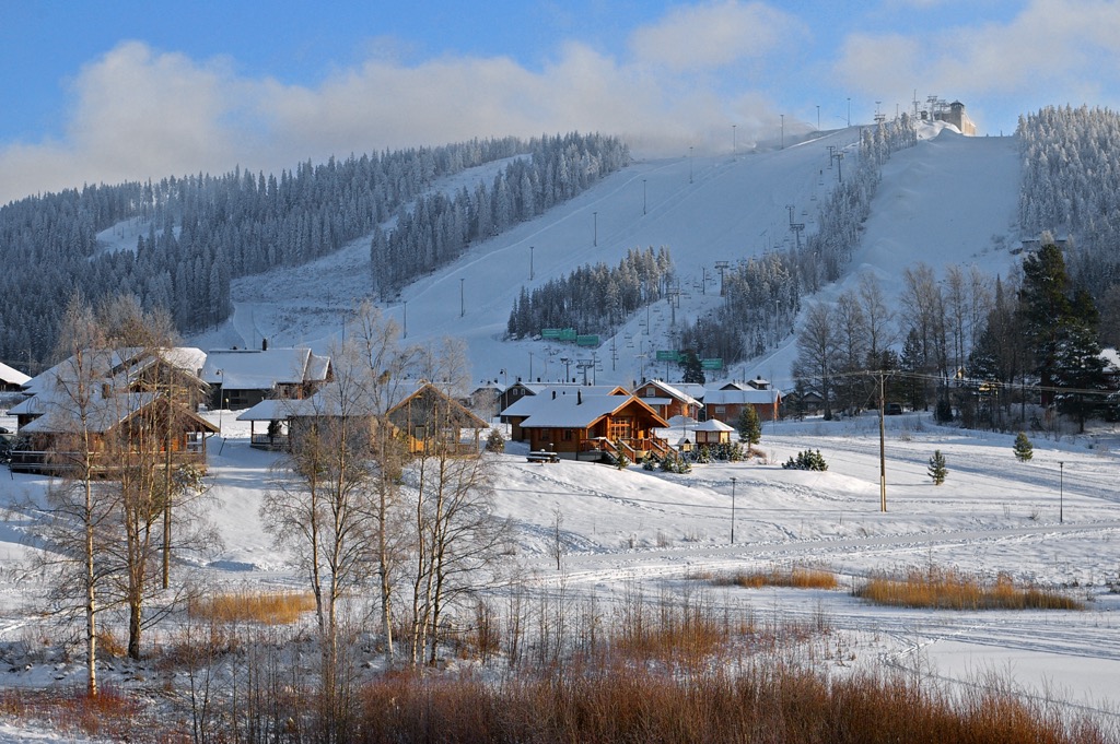
In winter, Sipoonkorpi National Park turns into a beautiful cross-country skiing area with one but very long trail of tens of kilometers (miles) that runs along the entire western part of the park.
As for alpine skiing, there are no large ski resorts near Vantaa. The nearest one is Messilä near Lahti to the north with 5.7 km (3.5 mi) of slopes and 9 ski lifts, and even more distant Himos between Tampere and Jyväskylä with 12.4 km (7.7 mi) of slopes and 16 ski lifts.
Check the Finland ski resorts map in the World Mountain Lifts section of the site. It includes information about open ski lifts / slopes near Vantaa in real-time with opening dates and hours. There are also year-round cable cars, funiculars, cog railways, aerial tramways, and all other types of mountain lifts.
There is Visit Center in Sipoonkorpi National Park, so to get tourist information go to one of the two official tourist offices of the Sipoo municipality, which are located in each of its two main towns: Nikkilä to the north of the park, and Söderkulla to the south.
SipooInfo Nikkilä
Pohjoinen Koulutie, 2, 04130, Sipoo, Finland
Monday to Friday from 8 am to 4 pm (lunch is from 12 to 12:30 pm)
+358923531
SipooInfo Söderkulla
Amiraalintie, 2, 01150, Söderkulla, Finland
Tuesday and Wednesday from 8 am to 4 pm (lunch is from 12 to 12:30 pm)
+358923531
Write to info@sipoo.fi with any questions and visit Sipoo.fi/en/visit-sipoo for more information online.
Sipoonkorpi National Park has no forest huts for overnight stays, so the main way to arrange accommodation on its territory is to bring it with you. And, from my experience of hiking in the southern Finnish national parks, this is the best way. There are about a dozen campfire sites available in the park, where you can either pitch a tent or sleep in a lean-to-shelter (no door and windows, just walls and roof under your head). Each site usually has a supply of firewood, a toilet, and possibly even a water source.
Apart from the larger Vantaa, the capital of the neighboring municipality of the same name within the larger Helsinki and Uusimaa, the two main cities of Sipoo with a total population of just over 20,000 people are Nikkilä and Söderkulla, the first of which is the capital and a bit larger. But both are towns in which, however, you can find some local attractions. In the first it is Sipoo Town Hall — the main administrative building of the entire municipality; Sipoo Church of traditional design, and Nikkilä historic railway station on the railway line between Helsinki and Porvoo. In the second it is modern Söderkulla Church; Sipoonlahti School—one of the largest school centers in Finland; and Söderkulla Manor house built by famous Finnish architect Karl Lindahl in 1908. He is also known for building the Oulu Market Hall in the city of Oulu, and headquarters of some of the largest Finnish companies such as Otava publishing and UPM, the main Finnish forest industry group, in Helsinki.