Get PeakVisor App
Sign In
Search by GPS coordinates
- Latitude
- ° ' ''
- Longitude
- ° ' ''
- Units of Length

Yes
Cancel
❤ Wishlist ×
Choose
Delete
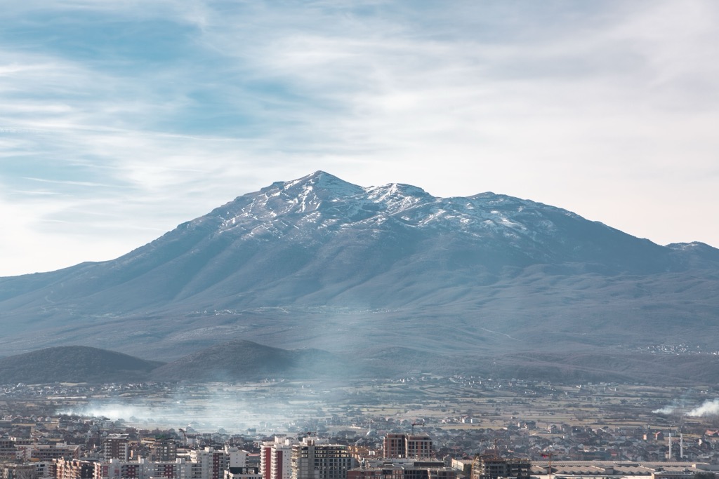
Standing in the center of the Balkan Peninsula, the Sharr mountain massif comprises relatively gentle mountains featuring rolling pastures and deciduous forests. The park straddles the border between Albania, Kosovo, and North Macedonia. There are 145 named mountains in "Sharri" National Park; Golema Rudoka (2,660 m / 8,727 ft) is the highest point, while the most prominent mountain is Maja e Pikëllimës, which rises 1,400m (4,593 ft) above its surroundings.
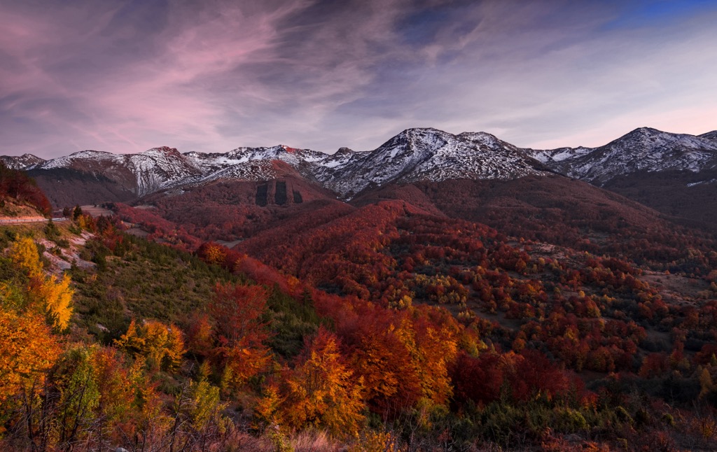
The Sharr Mountains, also known as Mali i Sharrit or Sharr, form a mountain range extending between Kosovo and North Macedonia. The mountain range spans approximately 80 km (49.71 mi), continuing southwestward into the Korab Mountains.
Sharr Mountains National Park is on the Kosovar side. The Macedonian side is also known under the same name: National Park Shar Planin. The Albanian part is known as Parku Natyror Korab-Koritnik. The highest ridgeline of the Sharr Mountains serves as the dividing border between Kosovo and North Macedonia, forming part of the interstate border.
Sharri National Park is situated in Kosovo's southeast, south, and southwest regions. It covers an area of 53,469 ha (134,672 acres) and constitutes 3.58% of the nation’s overall territory. The area falls within the territories of five municipalities: Kaçanik, Shtërpcë, Suharekë, Prizren, and Dragash.
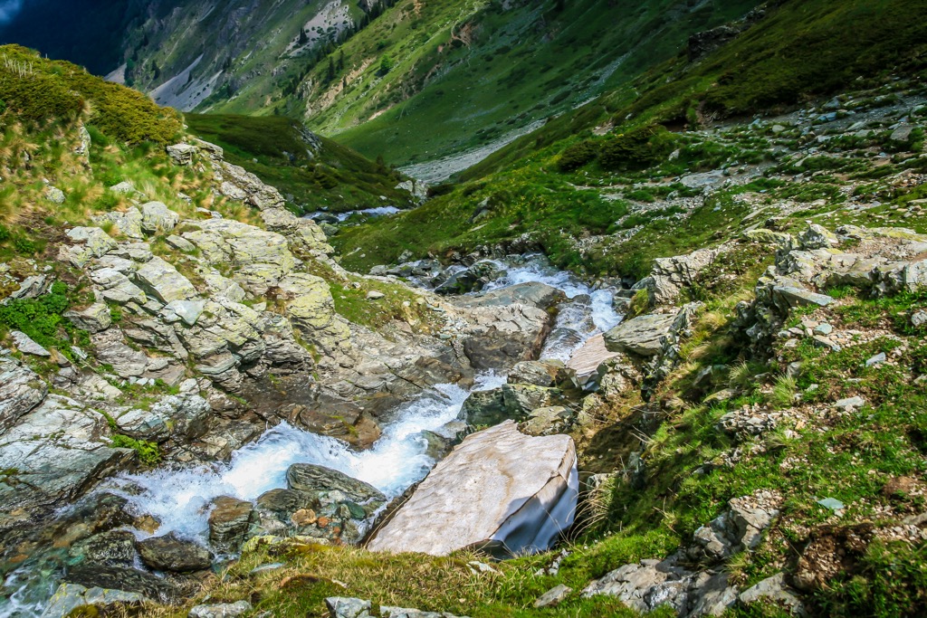
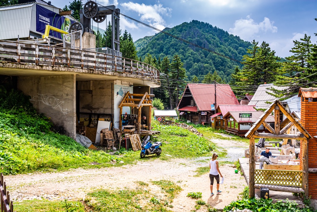
The Sharr Massif offers some of the country's most scenic hiking routes. More gently rounded than the Accursed Mountains, the Kosovar part features numerous alpine and ice-age mountain lakes. The Brezovica Ski Resort, situated between 900 m (2,953 ft) and 2,524 m (8,281 ft), lies northeast of the park and is a popular tourist spot. The park generally experiences an alpine climate with some continental influence, although the environment is highly dependent on elevation.
The Sharri Mountains extend southwest to northeast for approximately 75 km (47 mi). A southern continuation along the Albanian border, including the Korab, Bistra, Jablanica, and Galičica massifs, increases the total length to about 160 km (100 mi). The Pindus mountain system in Greece represents the southward extension of these peaks in North Macedonia and Albania.
Paleozoic formations, including marble, serpentine, and diabase rocks, are predominantly widespread. Notably, these Paleozoic formations set the Sharr Mountains apart from other mountainous areas in Kosovo. Mesozoic formations like metamorphic rocks, sandstones, quartzites, and limestones are also visible.
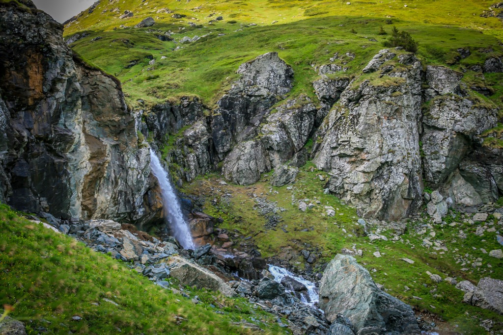
These result primarily from tectonic movements, later influenced by external factors like glaciers and water flows. They feature numerous glacial basins and moraines. Water plays a significant role, as river valleys and ravines, mainly flowing into the Lumbardh and Lepenc Rivers, traverse the entire Sharri area. In the southern regions of the National Park, narrow, deep canyons and straits form.
The park's forest associations are determined by altitude, creating distinct vegetation zones. The Mediterranean influence is evident in the lower altitudes, particularly in the hills and the forested areas. Here, deciduous forests, shrubs, and thistles dominate, featuring plant species like gorse, hazel, maple, hawthorn, wild pear, wild rose, and oak.
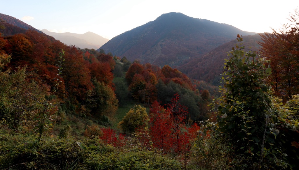
Oak is dominant at lower altitudes. At slightly higher altitudes, especially in wet areas or northern valley sides, shrub species dominate. Alongside beech, other species in the subalpine area, such as white box, oak, maple, silver larch, common larch, juniper, and elm, are present. At high altitudes (alpine), deciduous shrubs and plains dominate.
So far, recorded numbers for various taxonomic groups in the park include 32 mammal species, 200 bird species, 13 reptile species, 10 aquatic species, seven fish species, and 147 butterfly species.
Forest ecosystems at higher altitudes require special care and protection. They contain remnants of ancient forests with endemic species of pine forests, such as Pinus peuce and Pinus heldreichii.
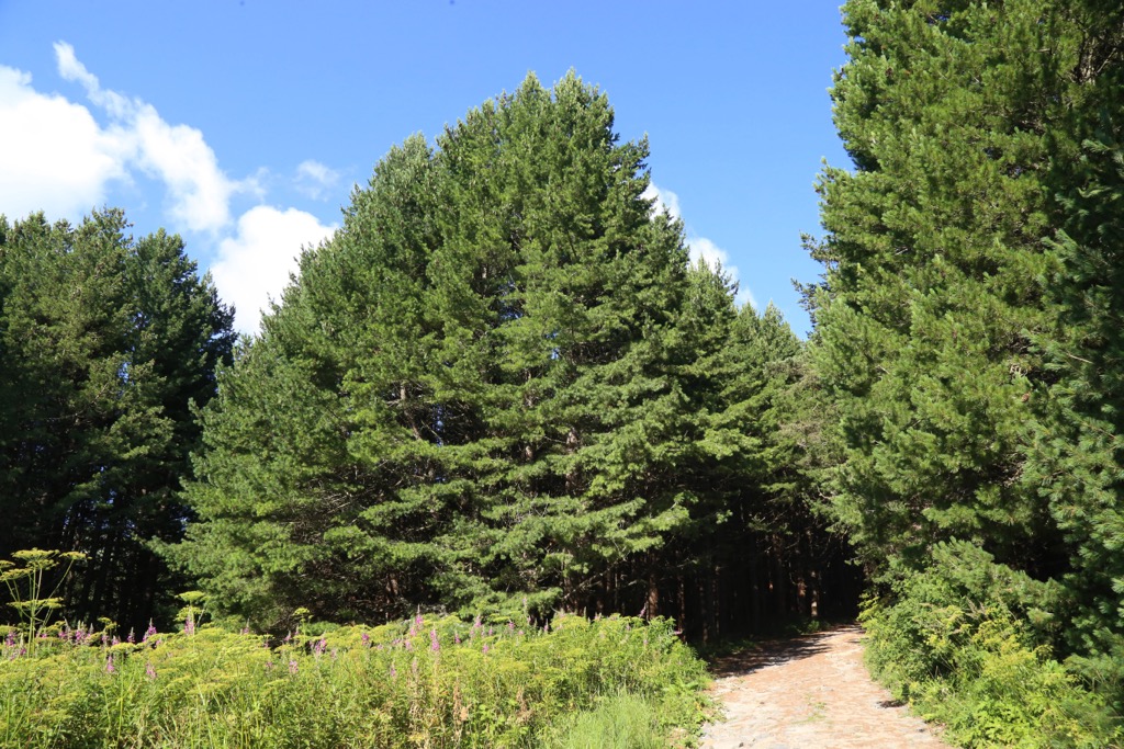
This ecoregion is part of the Palearctic temperate broadleaf and mixed forests biome, visible across the Balkan Peninsula in Southeast Europe. Balkan mixed forests encompass diverse landscapes, from mountainous terrains to lowland areas.
What stands out most is the mosaic of deciduous and coniferous tree species that characterizes these forests. A remarkable variety of plant life, including oak, beech, hornbeam, and fir, is standard. The intricate vegetation pattern supports an array of wildlife, including brown bears, wolves, and an array of bird species.
Human activities have shaped the history of these forests, with traditional land uses such as agriculture and forestry influencing the landscape. The ecoregion also faces modern challenges, including habitat fragmentation and climate change.
The northern part of the National Park contains a significant cultural heritage site: the Orthodox monastery near Mushtisht village. It comprises ten medieval Serbian Orthodox churches, one of the prominent ones being the Church of Virgin Hodegetria, which was destroyed in 1999.
Its initial historical reference can be traced back to a Serbian charter from the year 1315. Mušutište, along with the churches of Virgin Hodegetria and St. Symeon (Sv. Simeona), received official recognition in a charter dated 1348 from Emperor Stephen Uroš IV Dušan.
Additionally, the park area features natural sites of cultural and spiritual importance, such as Matos Cave, 'Dhomet e Rusenica' cave in Rusenica, and "Hearing the Whisper" cave in Opojë.
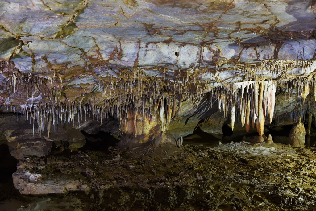
Situated in the village of Gadime e Ulët (Donje Gadimlje) in the municipality of Lipjan in Kosovo, the Marble Cave, also known as the Gadime Cave, is a karstic limestone cave. Referred to as "Shpella e Mermerit" in Albanian and "Мермерна пећина/Mermerna pećina" in Serbian, this geological marvel showcases the intricate formations created by the dissolution of limestone over time. It is a hermitage site today.
The intangible (spiritual) heritage includes cultural traditions, folk customs, language, holidays, rites, dance, music, song, and artistic expression. Opojë and Gora areas showcase distinctive cultural heritage through clothing styles, musical folkloric traditions, and various rituals.
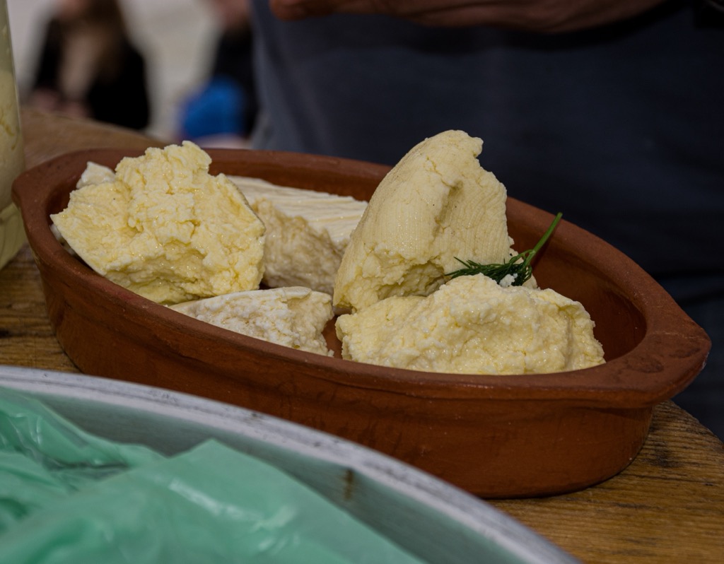
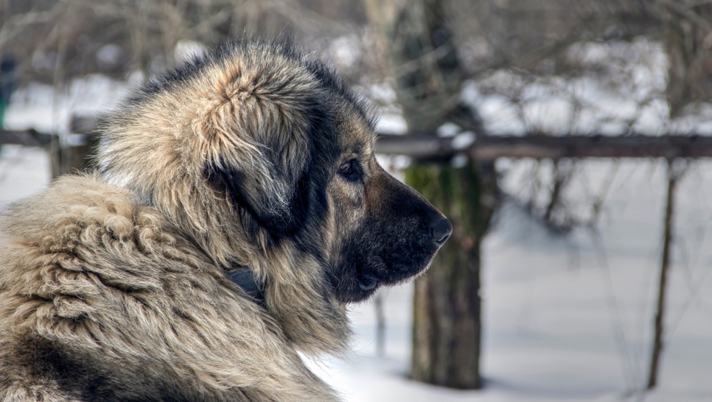
The Sharr Mountains yield the uncommon Sharr cheese, crafted from a blend of sheep and cow's milk and seasoned with indigenous wild herbs. Traditionally, shepherds grazed cows and sheep in the expansive mountain terrain, also home to wolves and bears. The sturdy and traditional Sharr dogs are recognized for their reliability and vigilance, serving as guardians to protect the herds.
This 5.5 km (3.42 mi) hike takes you from Brezovica Ski Center to Kuchinagledski Vrv Peak in Kosovo. The route traverses a dirt road, pasture on the northern slopes of the Sharr Mountains, and a path leading to the ridge between Livaditsa and Piri Breg (2,449 / 8,034 ft).
The route provides panoramic views, including Brezovica to the northwest and the cities of Tetovo and Gostivar to the southwest.
The trail begins behind Arxhena Hotel, near the cable car, and continues for 2.2 km (1.37 mi), passing the cable car and restaurant. After that, on the right, there's a spring along the ridge, offering scenic panoramas. Then the trail heads east, downhill, then uphill towards Rudoka Peak.
This hike takes around four hours, with the last water source at 2,310 m (7,579 ft). Beyond, a challenging ascent to the false summit at 2,635 m (8,645 ft) awaits, with a 1.33 km (0.83 mi) distance to Rudoka Peak at 2,658 m (8,720 ft), also known as Golema Rudoka or Rudoka e Madhe. Panoramas and landscapes include views of the Shutman Plateau and Lake Chelepinskite to the west and the upper Polog Valley and Lake Crno to the east.
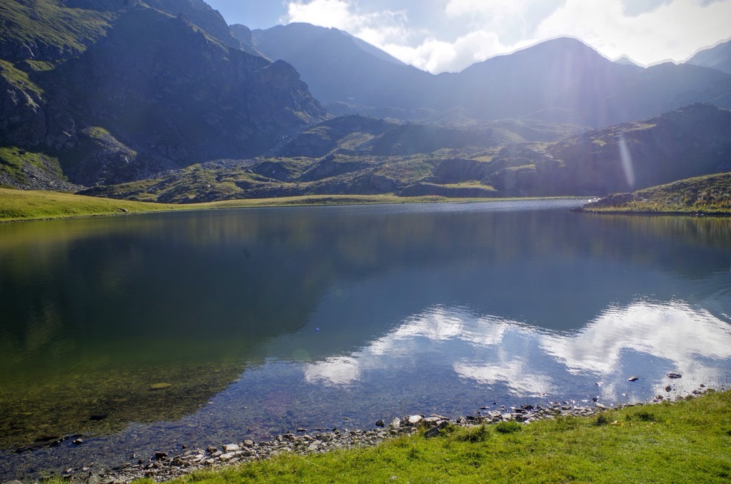
This moderate hiking route is 6 km (3.73 mi) long and takes you from Sharski Vodi to Crno Ezaro Lake. Commencing from the village of Negotino, the trail follows a dirt road leading to the border house Mazracha, then proceeds through a meadow to Borislavec itself.
You'll reach the lake as you ascend Borislavec on its left side. It sits at an elevation of 2,122 m (6,961 ft). The lake stands out for its irregular shape, deviating from the typical circular form in the region. The surrounding cirque and the rocky terrain of Crnoezerski Rid on the left side of the hill contribute to the lake's wild feel.
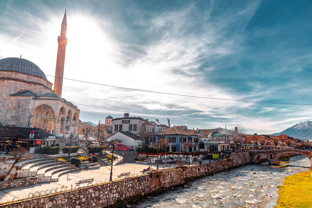
As one of the oldest settlements in the region, Prizren boasts Ottoman-era architecture and a rich cultural heritage. With a population of around 200,000, it's known for the iconic Sinan Pasha Mosque and the Old Stone Bridge. Events like the Dokufest Film Festival, as well as the Sharr Mountains, are significant draws.
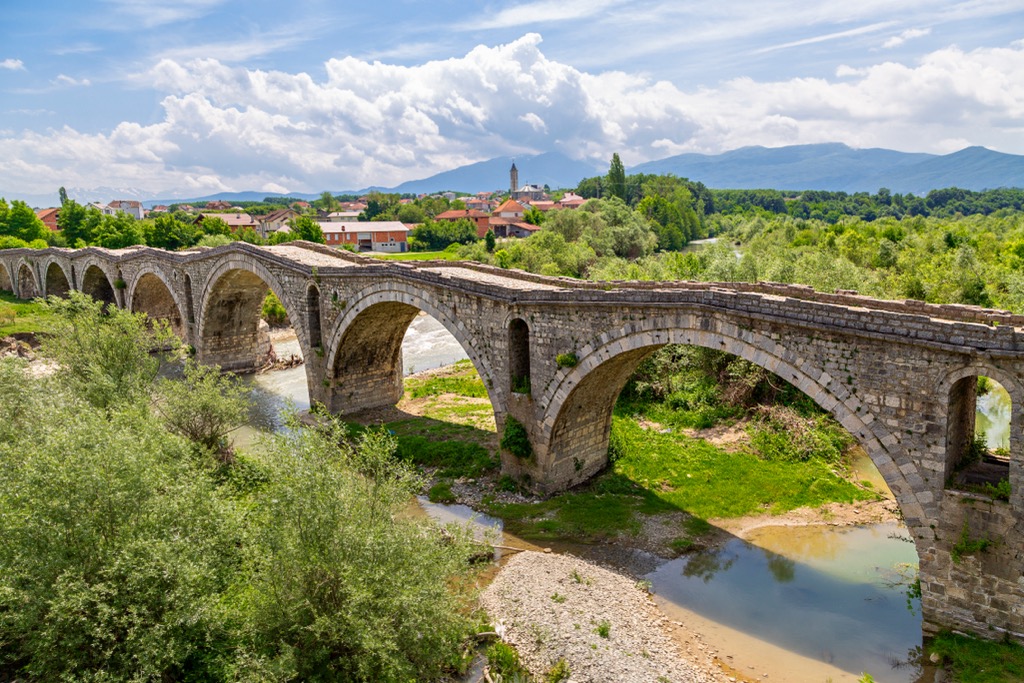
Gjakova, nestled in western Kosovo, is home to approximately 40,000 residents. It showcases a mix of Ottoman-era architecture and vibrant markets. Gjakova's culture can be seen at the historic Hadum Mosque and the Old Bazaar.
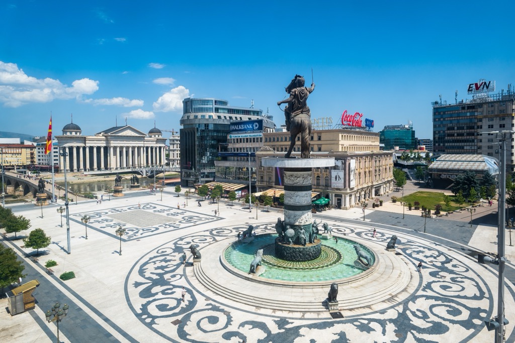
Skopje is the capital of North Macedonia, with a population of around 550,000. It is known for its cultural landmarks, such as the Stone Bridge and the Skopje Fortress. When in the city, one can enjoy the nearby Sharr mountains, as well as other hiking destinations and lakes surrounding it.
Explore Sharr Mountains National Park with the PeakVisor 3D Map and identify its summits.


