Get PeakVisor App
Sign In
Search by GPS coordinates
- Latitude
- ° ' ''
- Longitude
- ° ' ''
- Units of Length

Yes
Cancel
❤ Wishlist ×
Choose
Delete
Korab-Koritnik Nature Park was the largest protected area in Albania until 2017 and is called the "roof" of Albania. It is part of the Koritnik - Gjallica - Korab - Deshat mountain massif, a mosaic of high peaks, valleys, and deep gorges carved by rivers. There are 61 named mountains in Parku Natyror Korab-Koritnik, the highest and most prominent mountain is Mount Korab (2,764 m/ 9,068 ft).
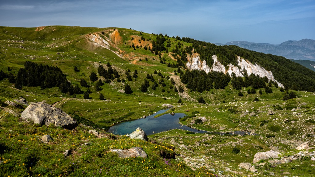
Korab and Koritnik are mountain massifs that have two very different landscapes. The northern part is steep with rocky peaks, while the southern side is more gentle. It is part of the Korab - Koritnik Nature Park, a natural mountain ecosystem that spans an area of 55,520 ha (137,192 ar). It's one of the parks in the regions of Dibra or Dibër County and Kukës County.
The park further falls into the Koritnik - Gjallicë - Korab mountain range, located in the northeastern part of Albania, and goes from the border with Kosovo all the way up to Mount Deshat in southern Albania, bordering North Macedonia.
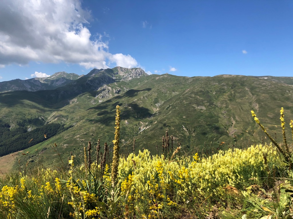
Korab-Koritnik Nature Park was the largest protected area in Albania up until 2017 and is called the "roof" of Albania. This is because it is home to the highest peak of Albania - Mount Korab (2,764 m/ 9,068 ft).
The northern border of the park is the Luma River. To the east lie populated villages, and the eastern and southern border of the park corresponds with the border between Albania, North Macedonia, and Kosovo.
Korab-Koritnik Nature Park starts at the country's northern border with Kosovo and stretches to the Desha Mountains in the south. The park is named after Koritnik and Korab mountains, which are two of Albania's highest summits. The latter is the highest summit of both Albania and North Macedonia, standing at the height of 2,764 m.
The mountain ecosystem here includes natural values of great importance for biodiversity and culture. This is also Albania’s largest nature park, bordering National Park of Mavrova in North Macedonia and connected to the Sharri National Park in Kosovo. Korab-Koritnik Nature Park is a beautiful place in eastern Albania to visit for the outdoorsy.
It also fulfills an important role, being a safe haven for wildlife. Korab - Koritnik Nature Park has a mountainous terrain with many rivers, lakes, caves, and canyons. The IUCN has classified it as Category IV on account of its rich flora and fauna.
The alpine landscape with its ranges makes this a diverse region where you'll find peaks that rise and fall, together with plains. It contains a variety of extraordinary habitats, from pine tree and white spruce forests to deep gorges and rockfaces.
Places like Kala e Dodës, Lake Grama, with Mount Korab (2,764 m/ 9,068 ft), and many other mountain villages are must-see attractions. Sadly, the transportaion infrastructure in Kukes is not well-developed and is considered insufficient, but most villages in the area are connected via roads.
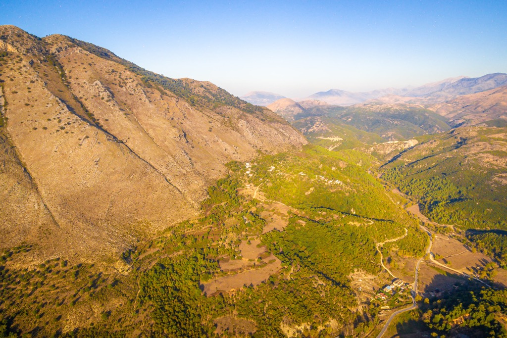
The roads are challenging, with only a fraction of them being paved. It can be difficult to go by car to the villages in more mountainous regions, which can be blocked by snow during winter, further complicating matters.
Nature Park Korab - Koritnik lies in the middle of four tectonic zones: Korabi, Mirdita, Krast-Cukali, and Kruja. In geological terms, the Korab area is the oldest in Albania. It is part of the so-called Eastern Albanian Alps. The highland in question has many mountains interrupted by radial tectonics that sometimes end with valleys.
Albania is home to a variety of geological formations. The relief is made up of mountains with deep valleys, and their shapes changed over time. This makes the formations in Korab- Koritnik Nature Park rather particular, belonging to the Paleozoic Era.
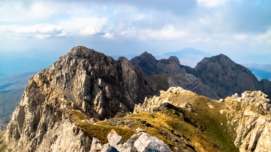
Limestone is dominant in this area, but other formations often accompany them. In fact, limestone and other types of stone are usually found in the same geographical area. There are plenty of examples where it is interlaced with different formations.
In some cases, the limestone comes with the other depositions as flysch, conglomerates, sandstones, siltstones, marls, etc. Lying between the limestone and flyschoid formations are some magmatic forms also present.
Korabi mountain range is characterized in the northern part with steeper, rocky mountains, but the southern part's scenery is milder. Mount Korab (2,764 m/ 9,068 ft) is the highest peak of the Korab mountain range and the highest peak in Albania. Korab is just one of two summits in Europe that's the highest point of more than one country. Other peaks in the park include:
The mountains have steep slopes made up of mostly shale and limestone dating from the Paleozoic Era. There is also some gypsum on the western side, contrasting them.
The massif is a mountainous area that makes part of the inner Albanides Alps, part of the line Dinarido-Albanido-Hellenides. Geologically speaking, this massif can be classified as a part of the South-Eastern European Line and, by extension, Eastern alpine compression. The peaks of these mountains are broken due to tectonic forces and turned into shapes like gorges and valleys.
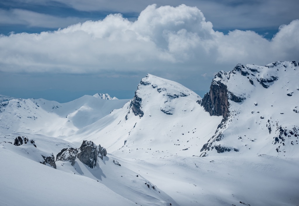
The landscape is full of steep slopes, with some notable Alpine areas as well as Korabi peaks. The area has many isolated and difficult-to-access peaks. Temperate, continental climate is notable in Korab - Koritnik Nature Park, with cold winters and hot summers. The average annual temperature is around 7 - 10°C (44 - 50 °F).
A whole number of factors affect the way the local climate influences a region, and one of them, rainfall, is mostly observed between November and January as well as during late Spring in general May. Rainfall volume is smaller in the period July to August.
The territory of Korab - Koritnik Nature Park is crossed by a dense hydrographic network: lakes and streams which flow into the branches of the Drin. Due to the erosive nature of these rivers and streams, valleys and canyons were created in the area, such as Gryka e Vanajje, Bicaj Canyon, and River Luma.
As one of the most important local rivers, Luma River is a branch of the Drini Bardhë River. The area it drains is 578 sq. km (359 sq. mi). Belaj River and Veleshica River, also known as Radomira, formTejza River and originate below the peak of Mount Korab (2,764 m/ 9,068 ft) as two separate streams.
All these waters join before entering the village of Radomirë. River Tejza originates near the village of Radomirë and is formed by the sources found on the Korabi plateau and melted snow.
These mountains are also home to many exciting tourist and geomorphological locations. For example, the Karst of Grama, Gryka e Çaja, and Guri e Shqipe. There are also the canyons of Bicaj and Vanaj. Heritage and nature sites like these are worth seeing when you're traveling in Albania.
The famous Grama Lake inside the park is divided into two - Lake Grama and Lake Kallabaku. Lake Grama is the largest lake within Mount Korab (2,764 m/ 9,068 ft) region and this nature park and currently has an area of 5 ha (12 ar).
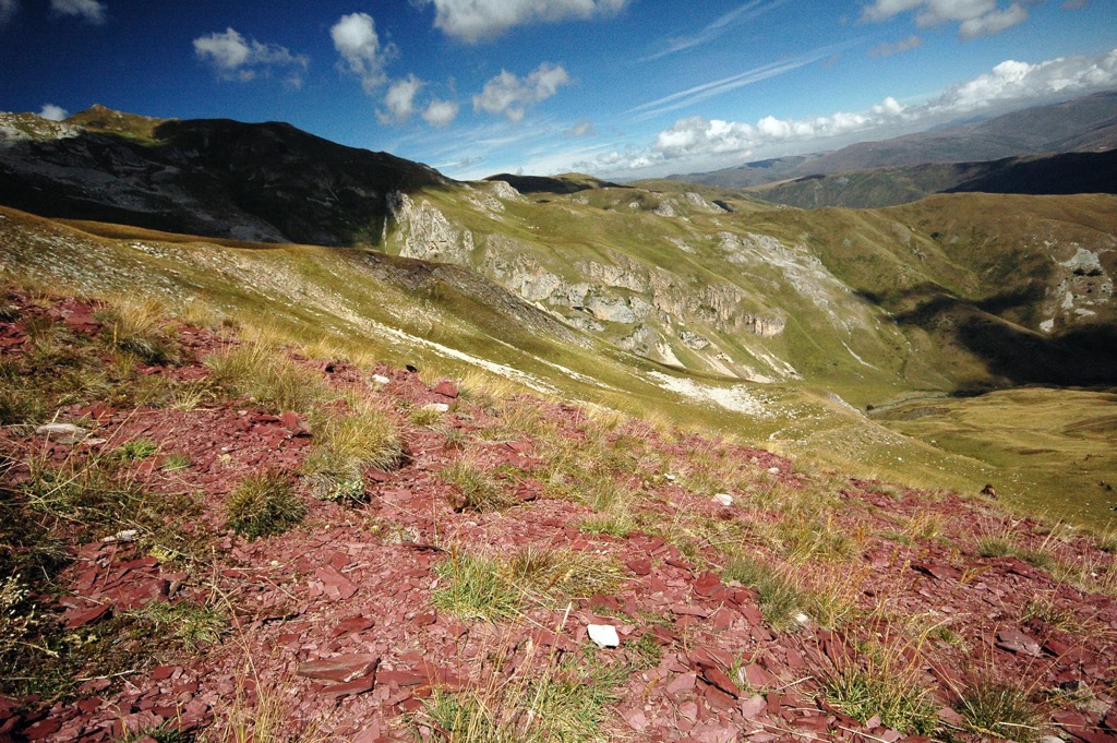
The Black Lake is located near the village of Radomirë, at an altitude of 1,460 m (4,790 ft). It is a glacial lake with an area of 0.8 ha (2 ar). Another notable nature monument here is Kirçin Stone, with a height of over 2,000 m (6,561 ft), near the village of Kirçisht.
Grams' Mirror lies near Mount Korab (2,764 m/ 9,068 ft), at an altitude of 1,900 m (6,233 ft). It shines due to the presence of selenium. The Korabi Plain is situated near Radomire, at the height of 1,900 m (6,233 ft), a glacial plateau complex that spans over 1,000 m (3,280 ft) in length and 200 m (656 ft) wide.
Korab-Kornik Nature Park preserves various mountain landscapes and natural ecosystems with meadows and glacial lakes. The natural environment of the region is diverse and well-preserved.
It's mostly due to its peripheral position with respect to urban centers and railroads, as well as its natural character, large forest complexes, and difficulty in accessing vast mountain ranges.
The most common habitat in this region is pasture, occupying around 22.6 sq. km (13 sq. mi). Most habitats are natural grasslands, heathland, and herbaceous vegetation. Forests are most common in the northern and southeastern parts and make up around 19,264 ha (47,602 ar) of the nature park.
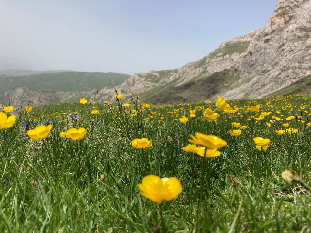
Agricultural lands are typically located close to inhabited villages, and furthermore, there is a type of habitat constituted by rocky mountain areas and eroded land habitat here too. Around 120 ha of the total area of Nature Park is occupied by water bodies.
The most abundant habitat in the park is natural grasslands, scrubland, and grass. Korab-Koritnik Park is a diverse mashup with many natural habitats in good ecological condition. These are home to species like the Balkan lynx, which is endangered.
The park is also home to a well-maintained Scots pine and Scots pine forest, as well as hem and white spruce forests. Parku Natyror Korab-Koritnik falls within the Dinaric Mountain mixed forest biome, part of the Palearctic realm forests. The forests are made up of diverse animals and plants.
Vegetation levels vary based on altitude. Oak forests range from 400 to 900 m (1,300–3,000 ft), and conifers and beech forests with mixed broadleaved forests range from 1,000 to 2,000 m (3,300–6,600 ft).
The hills are forested mainly by deciduous trees, with silver fir, Austrian pine, Bosnian pine, and Macedonian pine being the most common. Black alder is also seen occasionally on the slopes. Oak forests can be found at lower altitudes, including the oriental hornbeam, downy oak, Macedonian oak, and field maple.
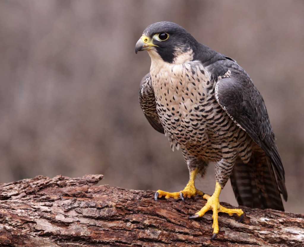
The wildlife in this area consists of 37 different mammals. Large animals, such as the brown bear, grey wolf, Balkan lynx, roe deer, and wild boar can all be found here. Birds such as the golden eagle, peregrine falcon, common buzzard, eagle-owl, and so many more are also seen here.
Korab-Koritnik Park is home to 25 natural monuments. The most well-known are Rrapi i Kirçisht, Robulli, Laku i Topojan, and Novosejt Oak Forest.
Life in prehistory until the last centuries did not change that much for the local population. First, here lived Illyrian tribes that started raising livestock. Romans then overtook the land, and soon came the medieval period, but the cattle herding never stopped below these peaks.
In fact, the locals lived in lower elevations during winter. During the hotter months, they would take their cattle up the mountains to offer them more versatile feeding. This is how their lifestyle meant going anywhere their cattle went.
In fact, this way of life is still visible with cattle herders in the villages below Korab and Koritnik mountains. Still, their lives are not easy even to this day.
In the past, locals had no interest in the peaks, only in the pastures. This is why the highest peaks of this nature park remained unhinged for generations. Even the highest peak of Albania was forgotten and uninteresting to most.
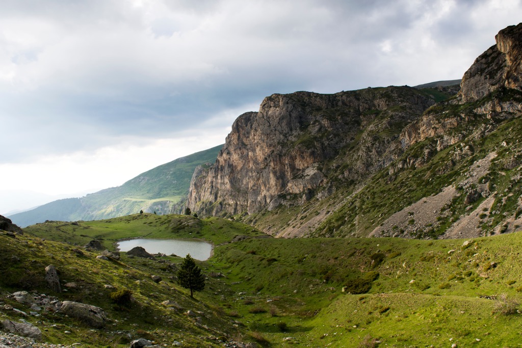
The name "Korab" is of Slavic origin and used to be the name of a Slavic sea god before they converted to Christianity. Today, there are no formal restrictions on mountain climbing from the Albanian side.
It is possible to drive as far as the local village of Radomire, but many of the roads are of poor quality. The terrain is uncharted, there are no signs on the roads, and there are reports of encountering aggressive dogs.
The population living in the park's territory is fairly small - about 19,000 people, while its total area is about 55,000 ha (135,907 ar). The main sectors of these mountains' economies are forestry and agriculture. The population plants small amounts of corn and rye with little agricultural land.
The mountainous Rudë area is ideal for sheep farming because of the large pastures and meadows. The Rudë breed of sheep has gained a lot of recognition locally because it's indigenous, produces high-quality wool, and chefs love it for their meat.
There are no industries in this mountain region, and agriculture is the main sector of the local economy. Given mountain regions' sparse population, few official work opportunities are available. However, they can sometimes be found at local schools, local offices, or as tour guides if needed.
Common local specialties include dairy foods, honey, and a variety of wild fruits. You shouldn't miss out on places such as Kala e Dodës, with the peak of Mount Korab (2,764 m/ 9,068 ft) in the East, a truly traditional setting in the Korab mountains.
The picturesque area also has a lot to offer in terms of tourism. You can breathe clean air, drink delicious water, and try on some dairy products or meat - all of the highest quality. The sights provide the extensive potential for sustainable development in the area of ecotourism.
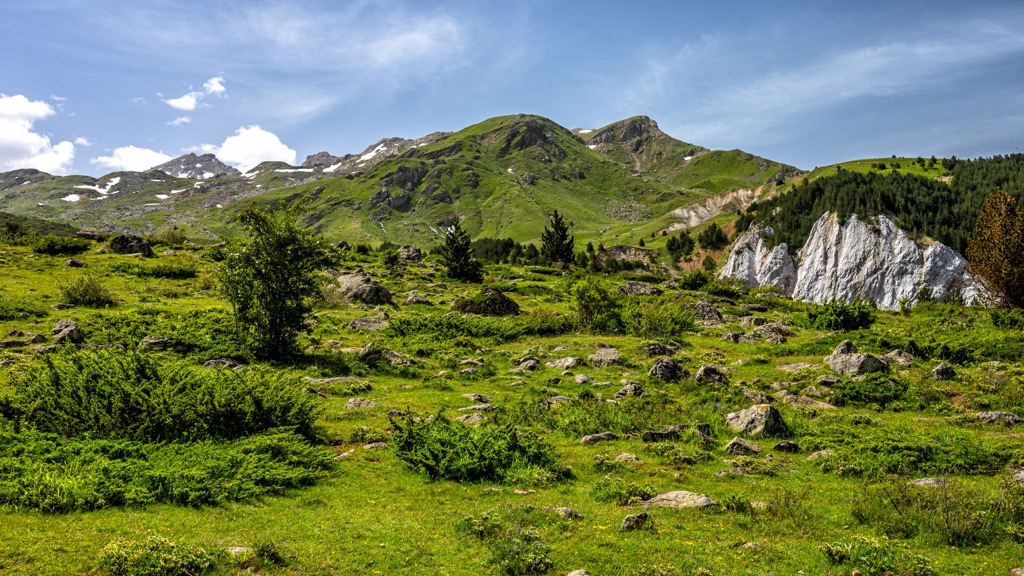
However, currently, the variety of recreational activities is limited in this area. There are few marked trails in the mountains, these are rarely visited, and there is no up-to-date map.
The local infrastructure is not the best. There are a lot of buildings that need work, and the majority of houses here are of moderate quality. However, over the last few years, there has been an increase in luxury accommodations such as villas, apartments, and hotels. These new spaces have all the facilities necessary for tourists to feel at home.
These are the must-see hikes when visiting Nature Park Korab-Koritnik:
This walk is a great way to get close to nature, with spectacular views across the valley, lakes, and Mount Korab (2,764 m/ 9,068 ft). Starting from Radomirë, this trail connects the local village to Lake Grama (often referred to as ‘Bjeshka e Zonjave’ on maps) and provides access to the mountains.
The dirt road leading to the mountain continues southwest with a gentle uphill. You can find a river gorge on your right and steep meadows on your left. After some time, you'll hit the lake at an altitude of 1,840 m (6,036 ft). The stream crosses a dirt road, which then leads to Lake Grama.
The starting point starts at 1,260 m (4,133 ft) high, and the ending point finishes at 2,000 m (6,561 ft) high. The hike length is around 7 hours with an altitude difference of 1,000 m (3,280 ft) along a 14 km (8.5 mi) walk.
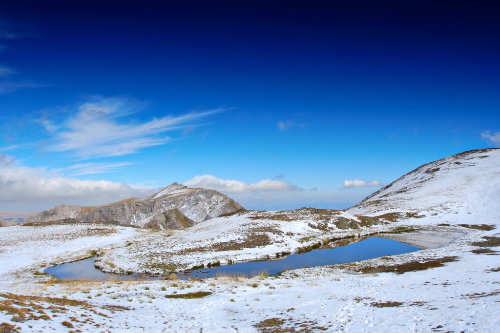
Shishtavec-Fshat Trail is a lesser-known 26 km (16 mi) alpine trail in the Kukës area. It's suitable for hiking, biking, and horseback riding both ways. Kosovo's border with Albania comprises lush rolling hills, which you can see here.
Taking a stroll down one of the many paths to Fshat - a gorgeous village on the end of the way - is truly relaxing. While this hike is long, it is generally flat and perfect for beginners.
This is a strenuous hike with an elevation gain of 1,500 m. It takes you from Radomire village to Mount Korab (2,764 m/ 9,068 ft), the highest mountain in Albania and North Macedonia.
Radomirë is about 25 km (15 mi) north of Peshkopi. Because the road is so bad, it will take you a little over two hours to get there by car. Minibusses can drop you off along the main road or near villages but don't come very often.
To get to the top, you need to go behind it. When you finally arrive at the peak, you will see a lot of open ground around. You'll cross meadows of Fusha Korabit and Panair in the north and northeast of the peak.
Panair is a small plain, where shepherds used to meet up to trade or to partake in competitions between their sheep. Four big creeks flow into the plain. Two from the west side, one from the south, and one from the east.
These are the nearest cities and towns to Parku Natyror Korab-Koritnik:
Kukes is a city in northern Albania, at the border with Kosovo. It is one of the most popular tourist destinations in Albania. It lies in the northern or more elevated part of the Parku Natyror Korab-Koritnik. The city has a rich history and is home to many historic mosques and churches, including the Church of Saint Mary of Kukes.
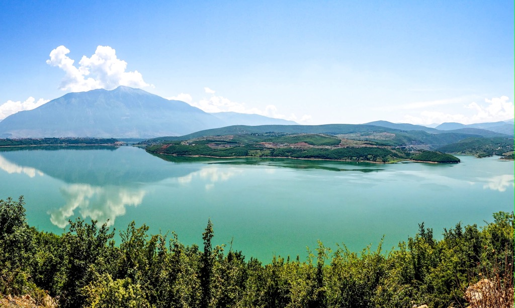
Peshkopi is located in Shkodër County, Albania. It is a small town with a population of approximately 13,000 people. The main economic activity in Peshkopi is agriculture, mainly producing fruits and vegetables.
In recent years, Peshkopi has been developing as a tourist destination. Its picturesque landscape make it an ideal spot for tourists looking for relaxation and peace of mind.
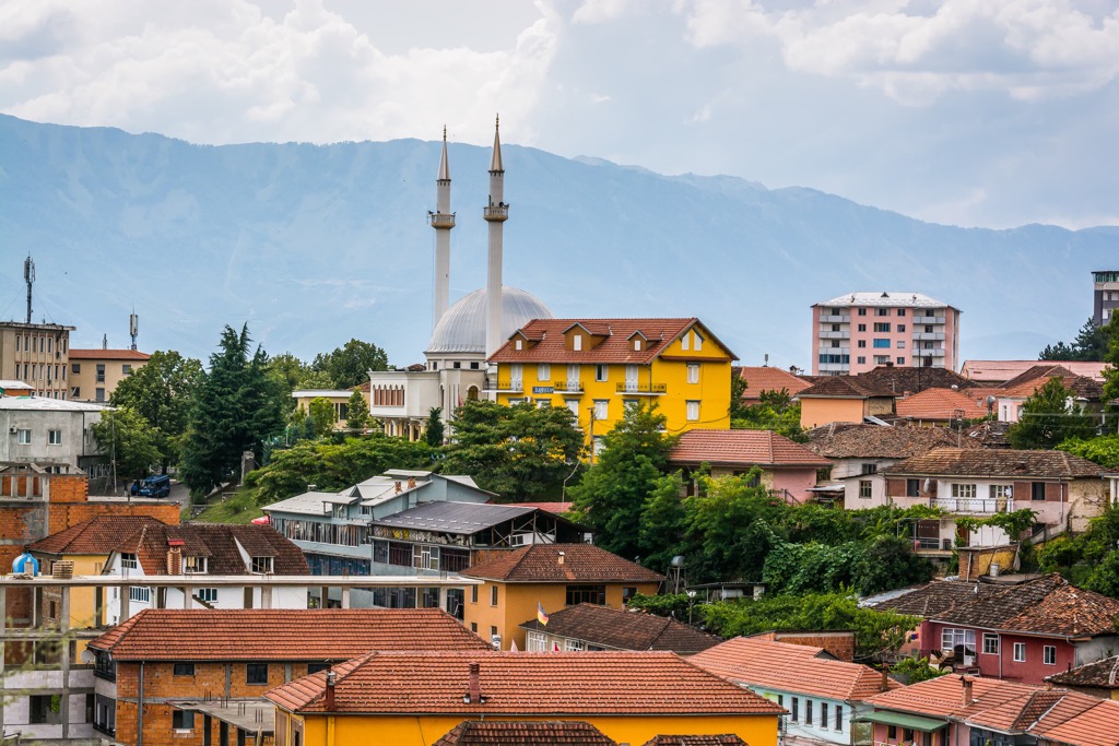
Prizren is a city in Kosovo, and it is the country's third largest and one of the most important cities. Prizren has been inhabited since the Bronze Age. It was ruled successively by Romans, Byzantine Empire, Serbian Kingdom, Ottoman Empire, and Yugoslavia before becoming part of an independent Kosovo in 2008.
The population of Prizren is around 170,000 inhabitants. UNESCO has protected the city’s old town as a cultural heritage site of “outstanding universal value” since 1979.
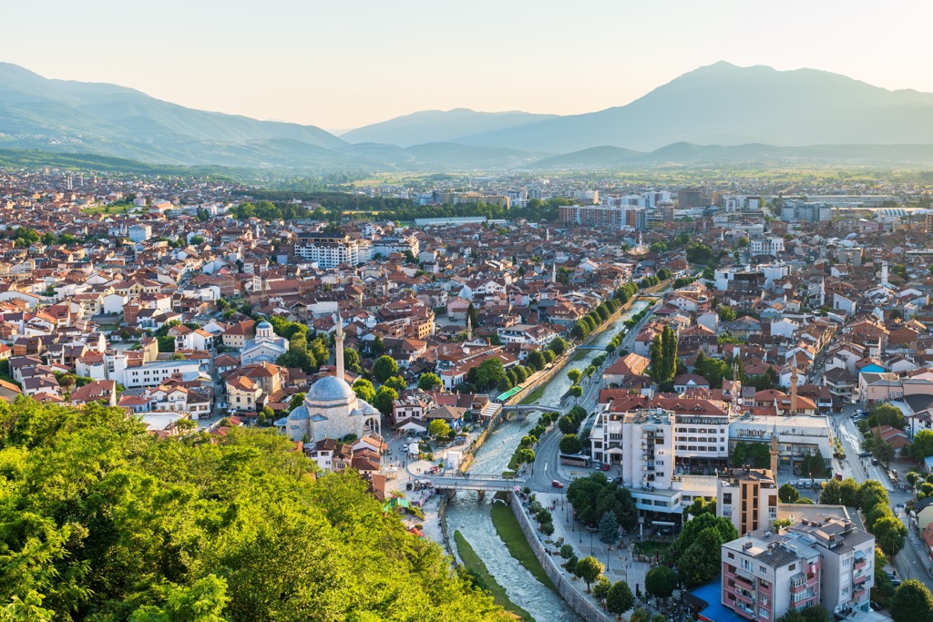
Tetovo is a small town in North Macedonia, and it has been the scene of ethnic tensions and conflict between different groups of people. This is because it is situated near the border with Kosovo, a country once part of Yugoslavia.
This small town has been experiencing rapid growth in the last few decades. The population of Tetovo is about 50,000, and the city is situated on the foothills of the Pirin Mountains.
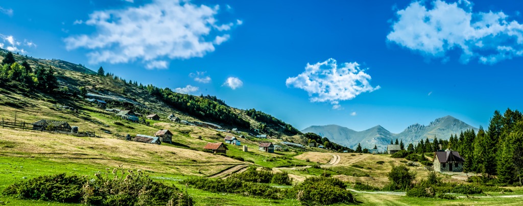
Explore Parku Natyror Korab-Koritnik with the PeakVisor 3D Map and identify its summits.


