Get PeakVisor App
Sign In
Search by GPS coordinates
- Latitude
- ° ' ''
- Longitude
- ° ' ''
- Units of Length

Yes
Cancel
❤ Wishlist ×
Choose
Delete
Mavrovo National Park lies directly between Albania and North Macedonia and features the highest peak of both countries. The park offers numerous high peaks and lush grasslands and is a nature lovers' and hikers' paradise. There are 113 named mountains in Mavrovo National Park; the highest and most prominent is Mount Korab (2764 m / 9,068 ft).
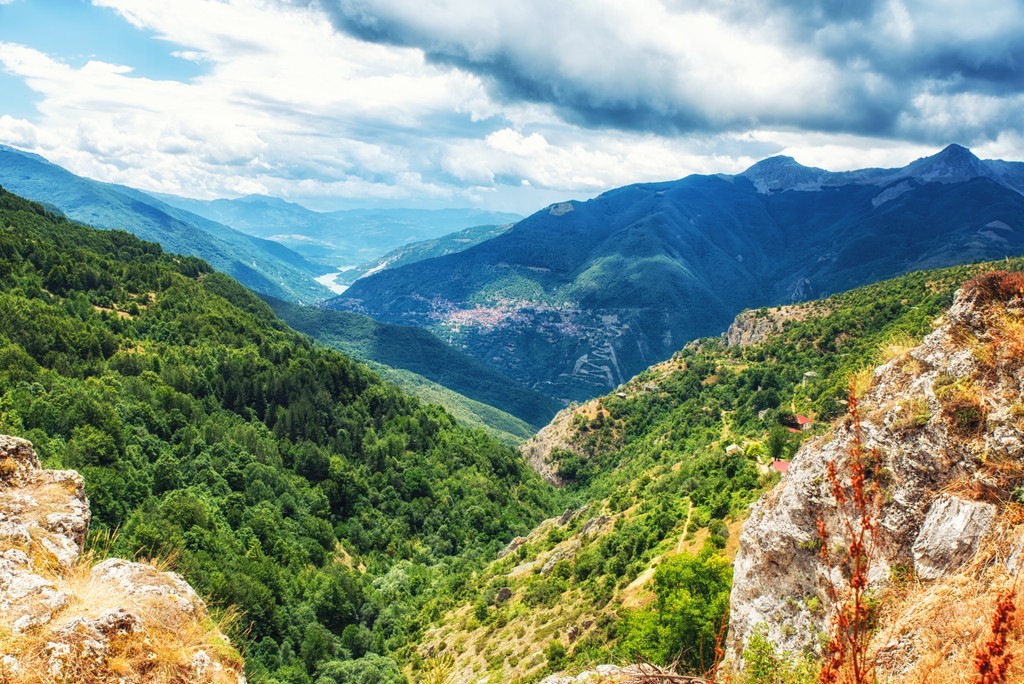
Mavrovo National Park occupies northwestern North Macedonia, where the borders of Albania, Kosovo, and Macedonia meet. It is one of Europe's oldest national parks and is well-known for its vast beech forests, alpine meadows, and pristine rivers and streams.
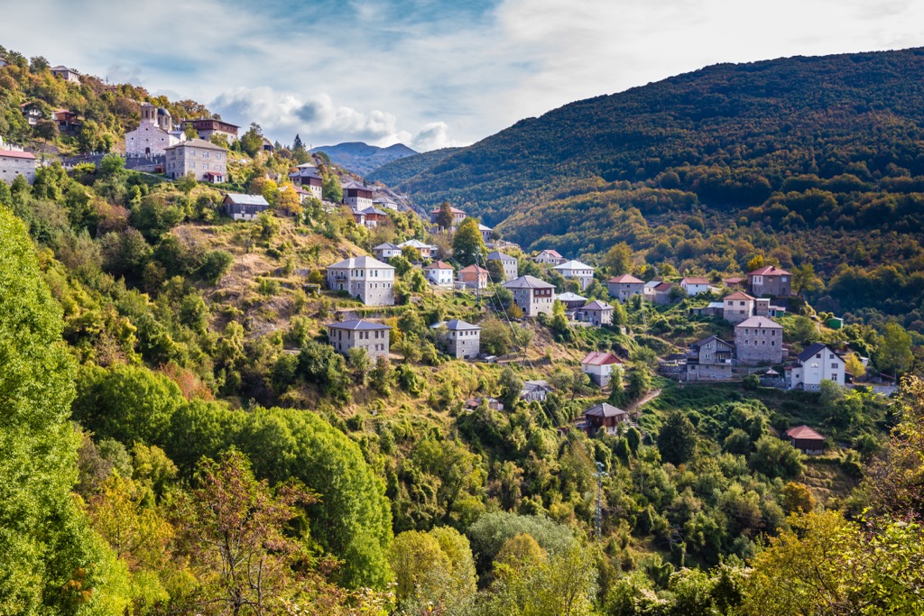
The Mavrovo National Park covers an area of 72,204 ha (178,419 ar) between the cities of Gostivar, Debar, and Kichevo. The park's elevation varies from a minimum of 600 m (1,968 ft) to 2,764 m (9,068 ft) on Korab’s summit. Administratively, most of the park belongs to the Municipality of Mavrovo-Rostushe, with only a small portion falling within the Municipality of Gostivar.
The park's landscape includes three Alpine mountain systems: the Šar, Korab, and Bistra massifs. Šar and Korab are the tallest, with peaks exceeding 2,700 m (8,860 ft). Between these mountains, you'll find the Radika Gorge, stretching for over 25 km (16 mi) and shadowed by towering cliffs of over 300 m (980 ft).
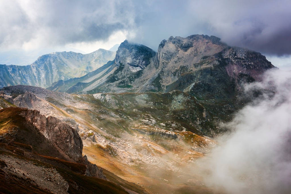
The Korab massif lies on the park's western side, along the Macedonian-Albanian border. It comprises three interconnected mountains, including Korab, Deshat, and Krchin, and has numerous peaks, with 41 reaching above 2,000 m (6561 ft).
The Shar Planina massif occupies the park’s north and northeast. The park includes the massif’s southwestern region and extends to the Mavrovo Valley and Mavrovska Reka River.
The Bistra is in the east and southeast, covering the Mavrovo Valley and Marvrovska Reka River valleys and its tributaries.
Within the National Park Mavrovo, there are 86 mountain peaks higher than 2,000 m (6561 ft), six of which surpass 2,500 m (8,202 ft). The park also features 23 high mountain passes.
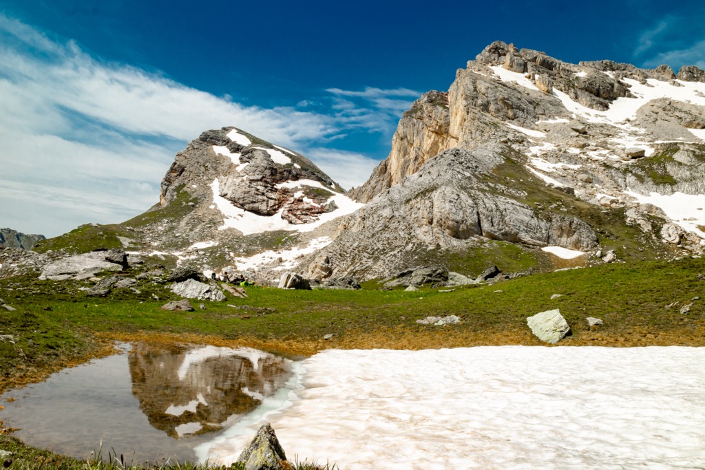
National Park Mavrovo's geological composition consists of different types of bedrock, categorized into three formations: Paleozoic metamorphic and magmatic rocks, Mesozoic sediment rocks, and Quaternary slates.
The park's landscape has been shaped by tectonic movements and external forces, resulting in various morpho-tectonic forms like mountains, valleys, peaks, and saddles.
Notable relief forms created by external forces in the park include riverbeds with canyons and underground karst formations, such as caves. In total, 16 canyons and 42 caves have been recorded within the Radika River watershed.
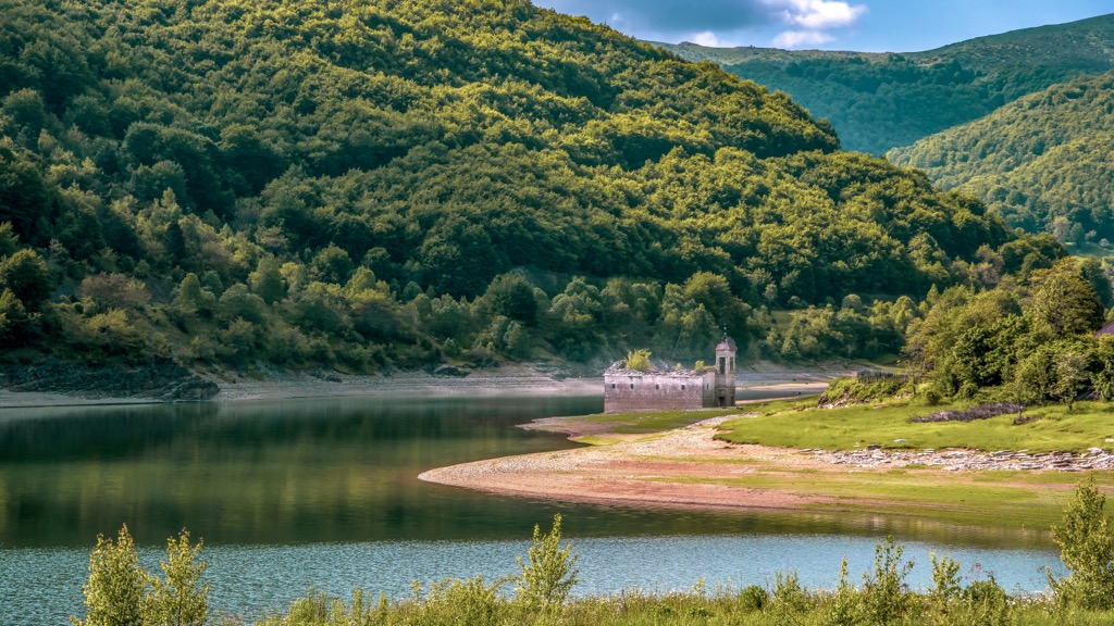
The entire Protected Area National Park Mavrovo area lies within the Radika River watershed. Its total length is 64.7 km (40 m), while its watershed covers an area of 879 sq. km (546 sq. ft). Apart from rivers, the park also features other hydrological forms like springs, glacial lakes, temporary pools, and the Mavrovsko Ezero Lake reservoir, which serve as important natural habitats.
The Municipality of Mavrovo-Rostushe is home the hydropower station HPS Mavrovo. It comprises three hydropower plants (HPP Vrutok, HPP Raven, and HPP Vrben), making it one of Macedonia's largest and most complex systems.
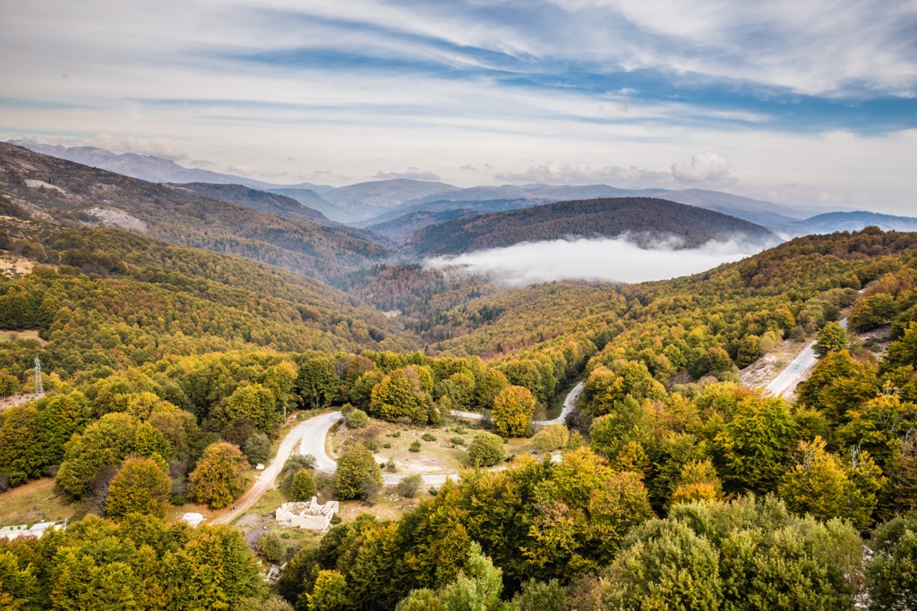
The mountain slopes in the National Park Mavrovo are covered in dense forest vegetation, while higher altitudes feature alpine pastures. Climatic factors and elevation differencials influence the park's diversity of flora and fauna. This region has undergone significant climate changes throughout history, making it a geographical crossroads where numerous endemic species thrive.
The park's six life zones feature 22 forest and 16 grass ecosystems in such a small space, with over 1300 species of herbaceous plants and 145 tree species, 40 percent of which are relict or endemic.
The park's geological history has left it with ecological relics from the tertiary and glacial epochs, including the rare Macedonian pine and Whitebark pine, as well as endemic conifers like the Greek maple and yew. Other park treasures include the common chestnut and the Macedonian fir, a hybrid species specific to this region.
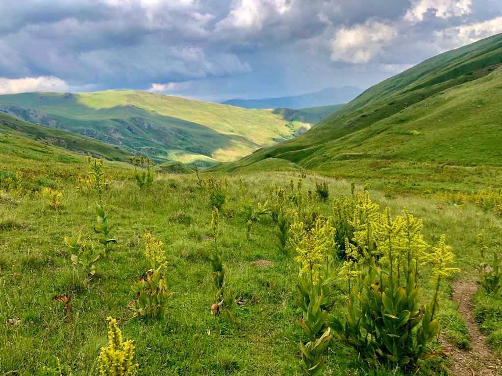
Numerous glacial relic species from the Ice Age can be found within the Forest Reserve Jasen. These are mostly herbaceous plants scattered throughout the Alpine zone. Among the dazzling forests is the Norway spruce community, located beyond its usual range in an inaccessible canyon of the Western Šar mountains.
The diverse forest vegetation provides a rich habitat for wildlife, with over 140 bird species, including hawks, eagles, and vultures. The park also boasts more than 45 mammal species, such as bears, deer, wild goats, otters, wolves, and the European lynx. The Mavrovo National Park is crucial for the survival of the European lynx, with around 60 individuals living predominantly in its western and central areas.
The park's cultural heritage mostly includes sacral monuments that showcase the creative contributions of the local population in shaping the area's cultural identity. Christian and Islamic sacral buildings coexist, reflecting the creative cohabitation of different cultures throughout history.
The St. John Bigorski Monastery is a representative example of the region's cultural identity. This monastery is dedicated to St. John the Baptist and is near the villages of Rostushe, Bitushe, Velebrdo, and Trebishte. It was founded in 1020 but was destroyed in the sixteenth century and restored in 1743. The monastery has a "Gallery of Icons" displaying icons dating from the twelfth to nineteenth centuries.
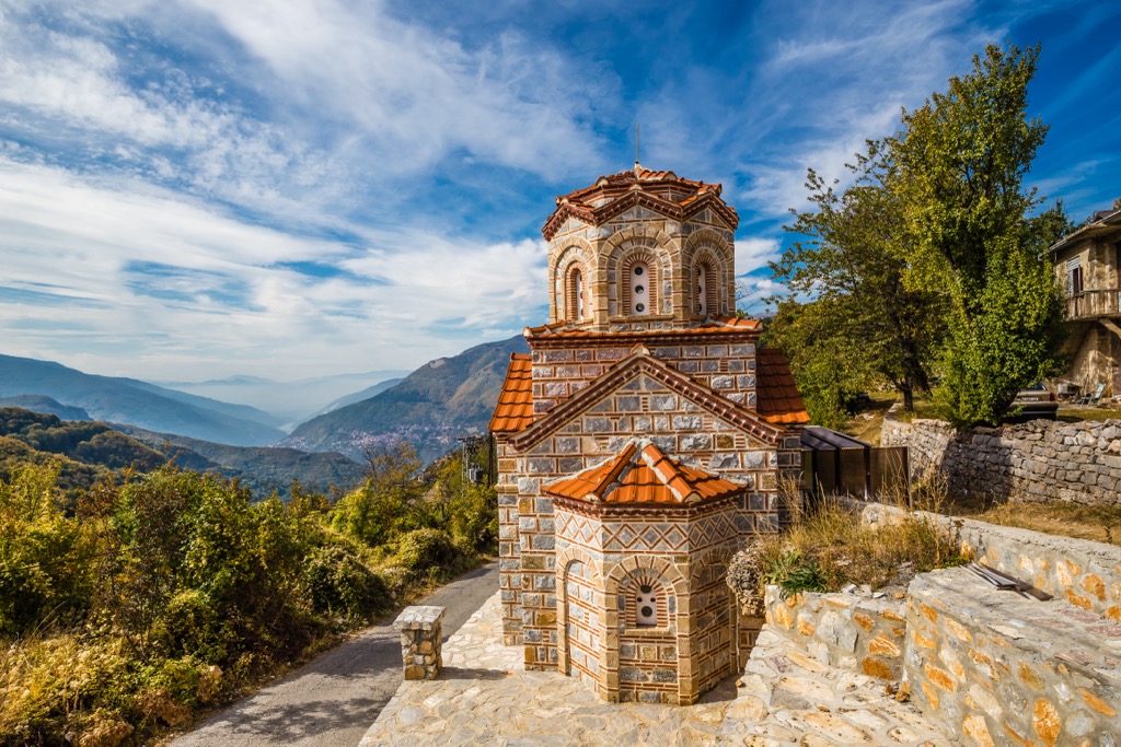
Traditional architecture and rural settlements also hold significant cultural value. The villages in the park demonstrate various characteristics based on field configuration, climate features, and life organization. Some villages, like Bitushe, Lazaropole, Rosoki, Galichnik, and Janche, have preserved their original stone and wood houses.
This trail is a part of the park's cultural heritage, intertwined with customs, events, and legends from local cultural traditions. The trail begins at the center of Nikiforovo village and runs alongside the Petilepska River to Petti Leb, where you'll find fresh drinking water.
Continuing from Petti Leb, the marked trail leads to the top of Sandaktash (1,981 m), offering stunning landscapes and panoramas in the pasture zone. The hike covers 8 km (5 mi) with a 700 m (2,296 ft) elevation gain.
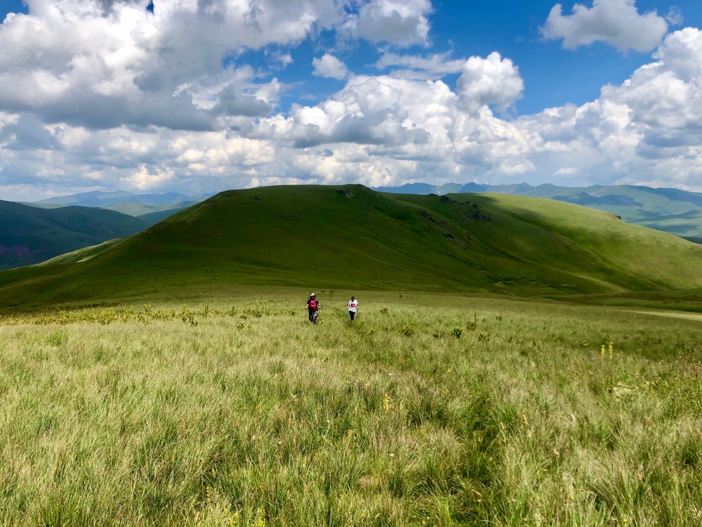
This trail is a challenge for well-prepared hikers, offering stunning landscapes and panoramic views of Mavrovo Lake, Bistra Mountain, and the Radika River valley. The path is mainly open space and marked, but a map is essential due to navigation through pasture areas.
The ground is mostly soft and enjoyable to walk on, with some parts merging with motor vehicle roads. There is only one source of drinking water (locality Boskova tap), so carrying sufficient fluids (at least two liters per person) is necessary. The hike covers 21 km (13 m) with an elevation gain of 1,000 m (3,280 ft).
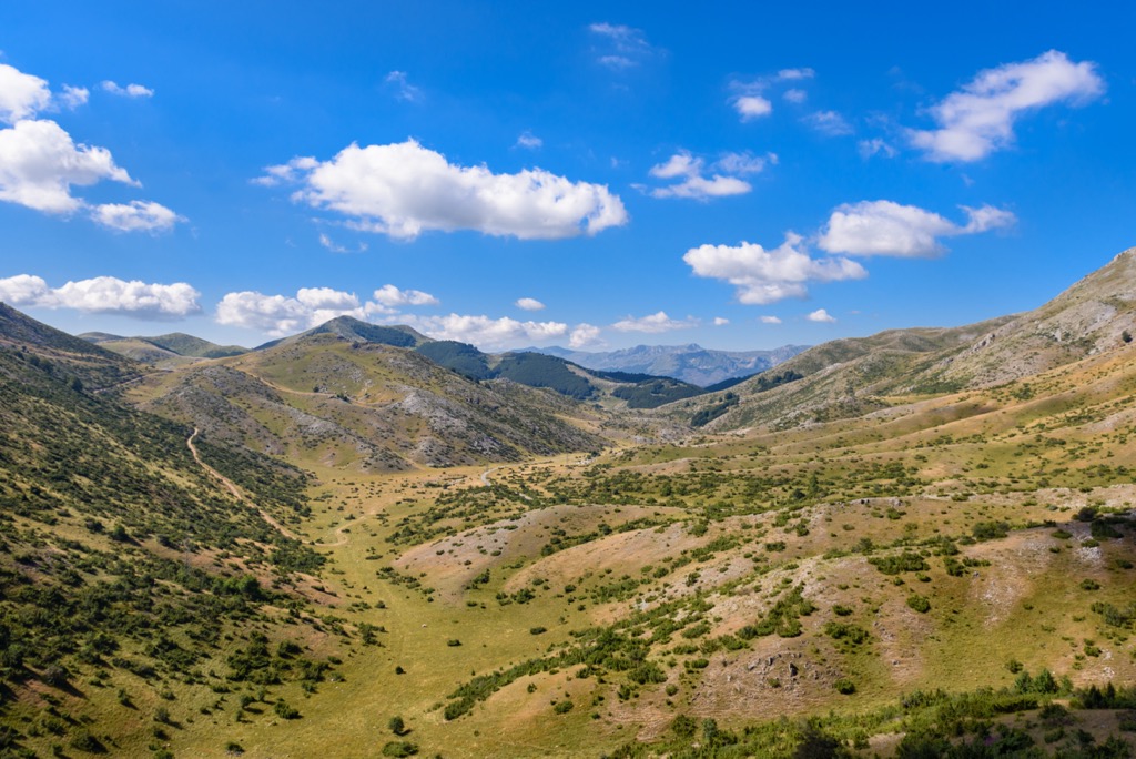
This challenging hike is approximately 24 km (15 mi) long with a 1550 m (5,085 ft) ascent/descent. To reach the starting point by car, cross the bridge direction Nichpur on the main road through Mavrovo National Park, between the villages of Vrbjani and Mavrovo Anovi.
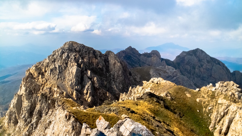
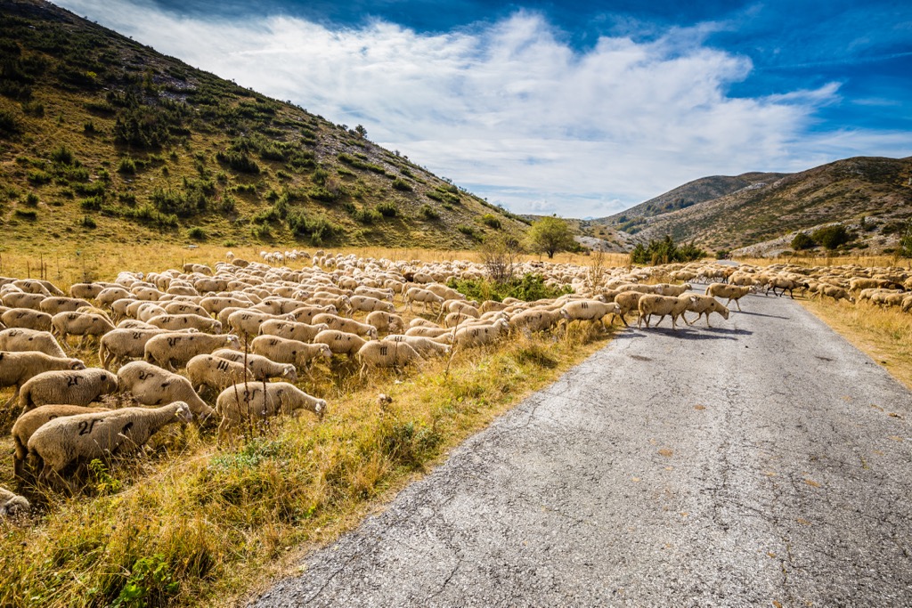
Permission from the border police is no longer necessary. The hike begins with a short forested section, followed by challenging uphill walking; the views throughout the trail are magnificent. The hike takes about 11 hours round trip. Encountering herds of sheep with large dogs is common, so caution is advised.
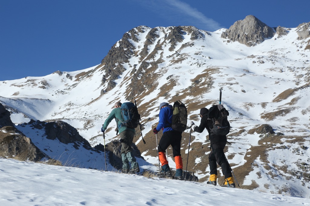
The capital and largest city of North Macedonia is situated in the northern part of the country. It is the nation's political, cultural, and economic center, with a population of approximately 550,000 residents. Skopje is known for its rich history and diverse architecture, blending modern and ancient elements. The city has several historical sites, museums, and monuments, including the iconic Stone Bridge and Skopje Fortress.
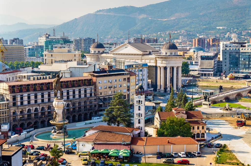
Tetovo is a city in the northwestern part of North Macedonia, near the Šar Mountains. It has a population of around 63,000. Tetovo is renowned for its colorful mix of cultures, featuring a significant Albanian population. The city is famous for the painted exterior of the Tetovo Mosque, which displays intricate and vibrant floral patterns.
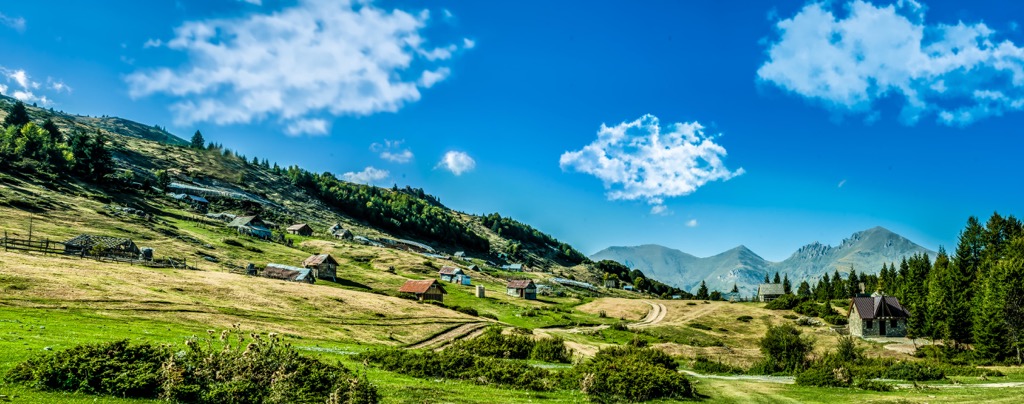
Gostivar is a town in the western part of North Macedonia, close to the Albanian border. It has a population of approximately 35,000 and is known for its lively atmosphere, with bustling markets and a diverse culinary scene. The Clock Tower, a well-preserved Ottoman-era structure, is a symbol of the town. Gostivar is surrounded by picturesque landscapes, making it a great starting point for nature enthusiasts exploring Mavrovo National Park.
Explore Mavrovo National Park with the PeakVisor 3D Map and identify its summits.


