Scan the QR code and open PeakVisor on your phone
Located in the northern reaches of British Columbia, Canada, lies the Northern Rocky Mountains Provincial Park. The park spans 2,570 square miles which makes it the largest protected park in the entire Muskwa-Kechika Management Area and the third largest in all of British Columbia. The Northern Rocky Mountains Provincial Park was established back in 1999 and borders the Stone Mountain Provincial Park and the Kwadacha Wilderness Provincial Park. There are 71 named mountains in Northern Rocky Mountains Provincial Park. The highest and the most prominent mountain is Mount Sylvia standing at 9,633 feet with 5,095 feet of prominence. The mountains in this region vary from those in the southern sections of the Rocky Mountains. In the north the peaks show more complex features of their tectonic formation.
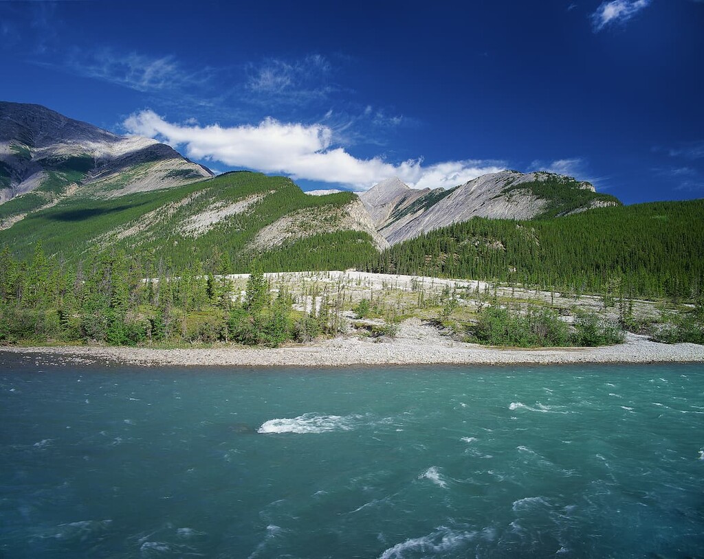
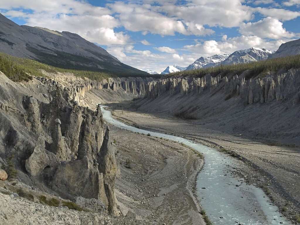
While the park is full of rugged mountains, it is also known for its vast network of waterways. The park is abundantly full of streams, waterfalls, creeks, rivers, and even small glaciers. The major rivers that run through the park include the Tetsa, Muskwa, and Chischa. The largest and most notable lakes of the park are Tuckodi Lakes, Kluachesi Lake and Tetsa Lake.
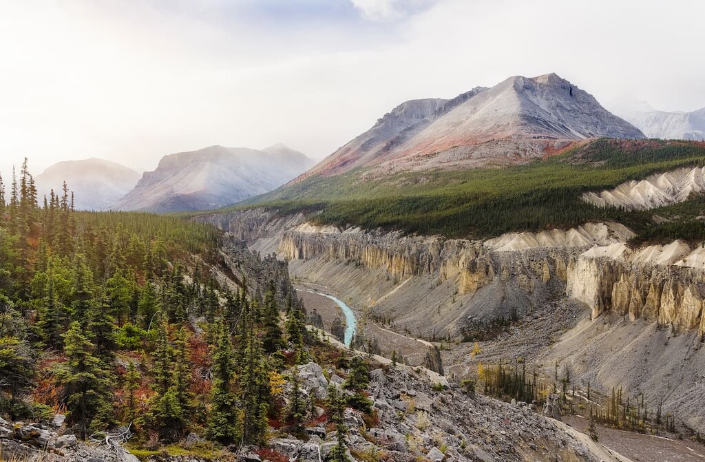
Much of the park is characterized by the Alpine Tundra zone. Here the land is covered by dense forests consisting of white spruce and aspen tree. Higher elevations give way to fir and spruce trees. Similar to the nearby Stone Mountain Provincial Park, the Northern Rocky Mountains Provincial Park consists of numerous wetlands and grasslands throughout the vast sweeping valleys. Though beautiful and vast, the park is rarely visited due to its remote location. Because of this, the park is full of wildlife. The park is home to elk, moose, mountain goats, wolves, grizzly bears, and black bears. The lakes and other waterways are home to trout, grayling, whitefish, and other species of fish.
Activities in the park include backpacking, hiking, horseback riding, fishing, boating, and camping. While there are some established campsites throughout the park, much of the land isn’t regularly maintained. Outdoor activities are abundant during the summer months but the Northern Rocky Mountains Provincial Park are relatively uninhabited during the cold and harsh winters. Primitive hiking trails wind throughout the park though very few are maintained.
Whirlpool Canyon: Right off of the highway lies Whirlpool Canyon. Below the shallow cliffs the Liard River flows on its way to the Mackenzie River. While there is no designated hike, the canyon features a small parking lot and small trails that can lead down to the river. Hikers should practice caution as the currents within the river are very strong.
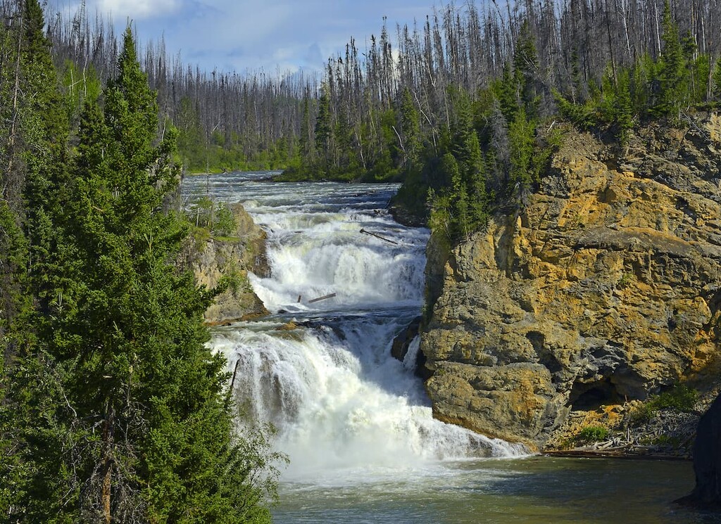
Smith River Falls: The Smith River Falls is one of the more accessible hikes in the park. The trail is just 0.7-miles out and back with only 50 feet of elevation gain. Though shorter than other hikes in the park, the views are just as stunning as the trail leads to the bottom of the Smith River Falls. The falls plunge over 100 feet as they enter the Liard River Valley.
More maintained trails can be found in the nearby Stone Mountain Provincial Park. Popular hikes include Summit Peak Trail, Flower Springs Lake Trail, and the Erosion Pillar trail.
The nearest city to Northern Rocky Mountain Provincial Park is Fort Nelson. The small community has a population of around 3,500. Fort Nelson is just on the east side of the Rocky Mountains in what is known as the Peace River Region. The community is located along the Alaska Highway at milepost 300. There are not many cities in the area and the nearest urban city is Fort Saint Johns, located four hours away. Fort Nelson sits at the confluence of the Fort Nelson River, Prophet River, and the Muskwa River. The close proximity to Stone Mountain Provincial Park, and other nearby regions, attracts tourists to the area to hike, hunt, fish, view the wildlife, and go camping. Other nearby parks include Liard Hot Springs, Stone Mountain Provincial Park and the Smith River Falls-Fort Halkett Provincial Park.