Scan the QR code and open PeakVisor on your phone
Stone Mountain Provincial Park is a Provincial Park located in northern British Columbia in Canada. The park spans 99 square miles across the province and was established back in 1957. While the land is its own distinct park, it is also part of the larger Muska-Kechika Management Area. Along with Stone Mountain Provincial Park, the management area also includes Northern Rocky Mountain Provincial Park and the Kwadacha Wilderness Provincial Park. There are 6 named mountains in Stone Mountain Provincial Park. Mount St. Magnus is the highest point at 8,720 feet. The most prominent mountain is Mount St. Paul with 2,703 feet of prominence.
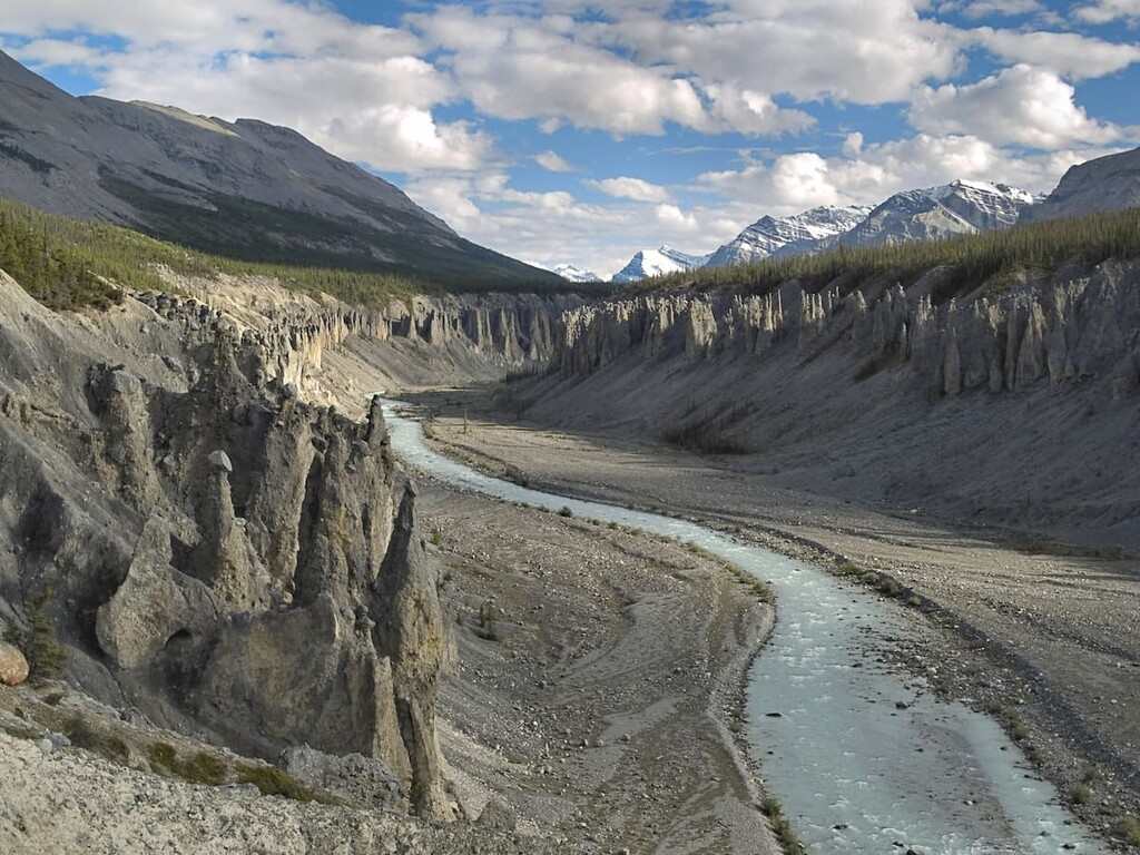
Stone Mountain Provincial Park is part of the Muskwa Ranges that make up the northern Rocky Mountains. The park, along with the surrounding ranges, is characterized by rugged peaks, wide valleys, and Paleozoic limestone. The most notable valley within the park is the MacDonald Valley. The valley was formed after a massive glacial ice sheet began to melt, resulting in outwash by the North Tetsa River. The final remnants of this ice sheet can be found amongst Summit Lake. The lake is the largest body of water in the entire park. Snow melt and lake runoff in the park form both the Tetsa River and the Toad River that eventually lead to the Mackenzie River. This river then flows into the Arctic Ocean.
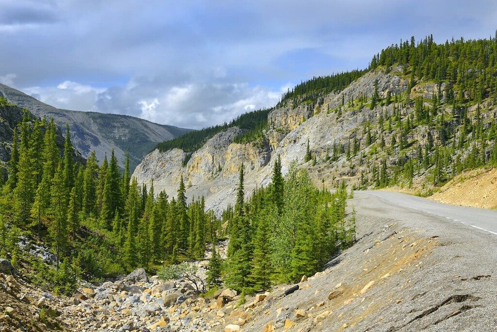
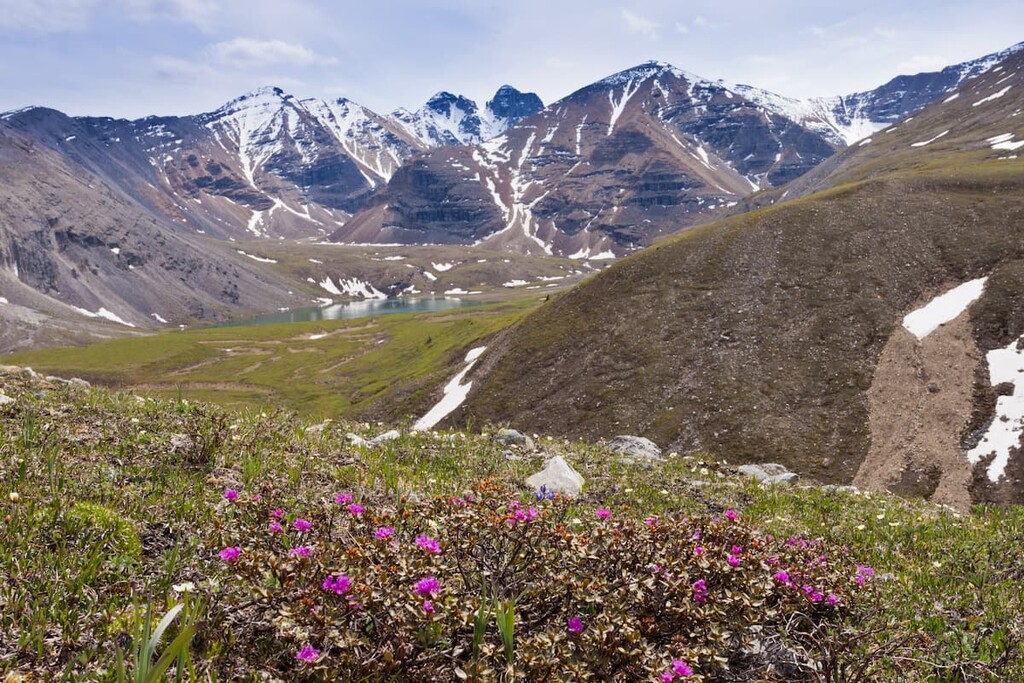
The high elevation, combined with the remoteness of the region, has resulted in sparse flora throughout. The subalpine region is home to forests consisting primarily of spruce and fir trees. The alpine tundra zone has fields of wildflowers intermixed with birch trees, willow trees, and boggy wetlands. Here the ground often feels rather spongy during the summer months. Though beautiful, the bog zones are very vulnerable and sensitive to both human and animal traffic.
Because the park is located so far north within Canada, the winters are extremely harsh, resulting in small amounts of wildlife compared to the rest of the province. Despite these cold temperatures, squirrels, marmots, chipmunks, grizzly bears, black bears, wolves, lynx, and coyotes can occasionally be spotted within the park. During the winter months mountain goats, sheep, and caribou inhabit the land. Summit Lake, which lies within the park, is stocked during the summer months with different types of trout, though they are often overfished.
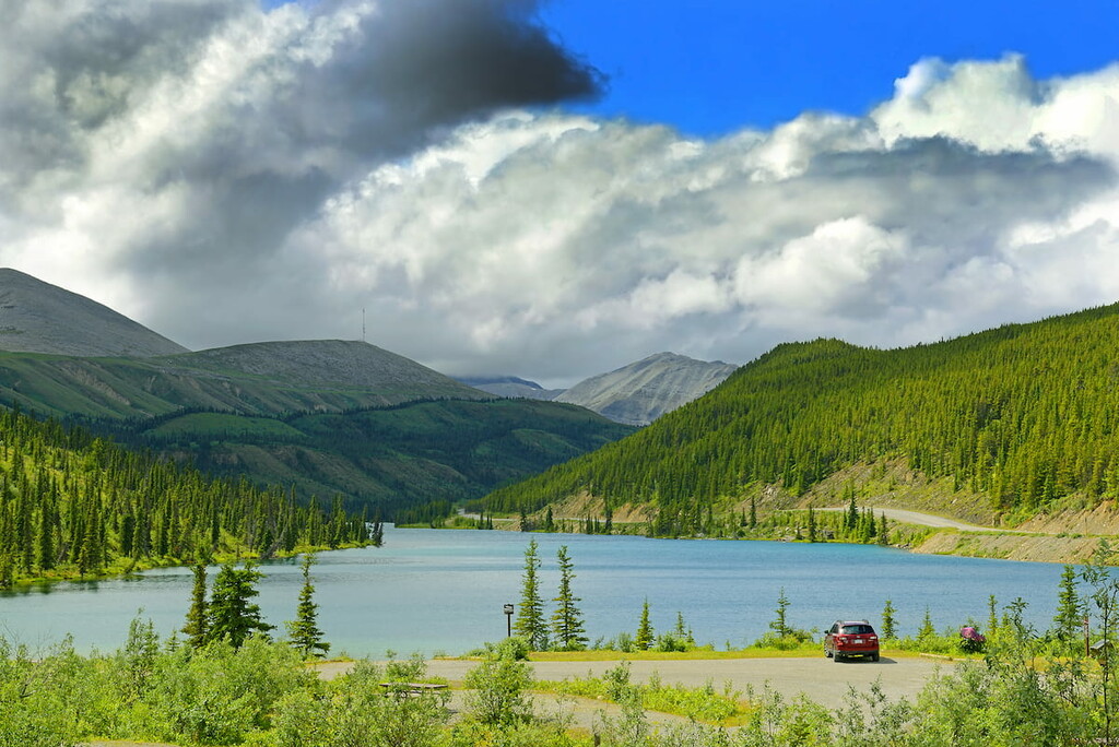
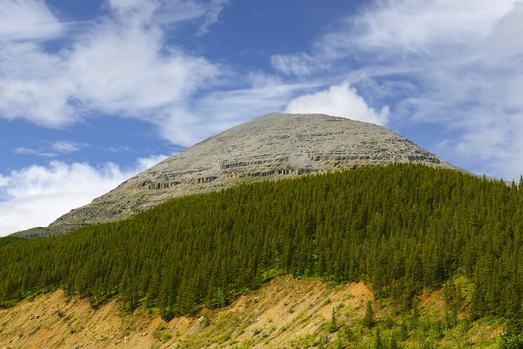
Summit Peak Trail: Along highway 97 lies Summit Lake, the largest body of water in the park. Towering above the lake, to the north lies Summit Peak. The trail leading up to the peak is one of the most popular trails in the entire park. The trail offers two different routes with varying levels of difficulty. The shorter trail clocks in at 1.8 miles roundtrip with 850 feet of elevation gain. From here hikers have views of the lake below and the Provincial Park extending into the distance. Hikers can stop here or continue further up the peak for a roundtrip of 4.3 miles with 2,440 feet of elevation gain. At the true summit, hikers will be rewarded with panoramic views of the lake below and the shale covered faces of Summit Peak. The lake is also the highest elevation along the Alaska Highway.
Flower Springs Lake Trail: This 6.4-mile trail has just over 1,000 feet of total elevation gain. The trail winds through the open valleys before reaching the alpine lake. The trail, and lake, get their name from the fields of wildflowers that populate the land during the summer months.
Erosion Pillar: A shorter trail through the park is Erosion Pillar Trail. The route is just under one mile long with 160 feet of elevation gain. The short distance of the trail helps make it easily accessible to most hikers. After winding through the forest and a small open field, the trail climbs about one hundred feet to the towering pillar. The pillar stands along amongst the trees of the hillside.
The nearest city to Stone Mountain Provincial Park is Fort Nelson. The small community has a population of around 3,500. Fort Nelson is just on the east side of the Rocky Mountains in what is known as the Peace River Region. The community is located along the Alaska Highway at milepost 300. There are not many cities in the area and the nearest urban city is Fort Saint Johns, located four hours away. Fort Nelson sits at the confluence of the Fort Nelson River, Prophet River, and the Muskwa River. The close proximity to Stone Mountain Provincial Park, and other nearby regions, attracts tourists to the area to hike, hunt, fish, view the wildlife, and go camping. Other nearby parks include Liard Hot Springs, Northern Rocky Mountains Provincial Park and the Smith River Falls-Fort Halkett Provincial Park.