Scan the QR code and open PeakVisor on your phone
Styrian Eisenwurzen Nature and Geopark (German:Naturpark Steirische Eisenwurzen) is a protected mountainous region situated in the central region of Austria. The park marks the largest nature park in the state of Styria. There are 362 named peaks with the tallest being Hexenturm at 2,172 m (7,126 ft) and the most prominent being Gamsstein with 1,091 m (3,579 ft) of prominence.
Styrian Eisenwurzen Nature and Geopark is situated in Upper Styria, the northern and mountainous section of Austrian state of Styria. The state spans across central Austria, from the country’s southern border up to the mountainous region of northern Austria.
The park spans 586 sq km (226 sq miles) with elevations ranging between 406 m (1,332 ft) up to the summit of Hexenturm. Mountains in the region are part of the Styrian Eisenwurzen, a subrange of the Northern Styrian Alps.
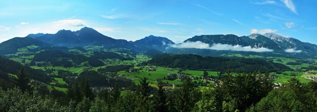
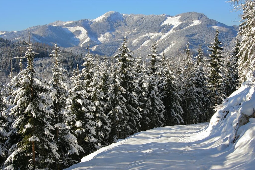
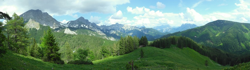
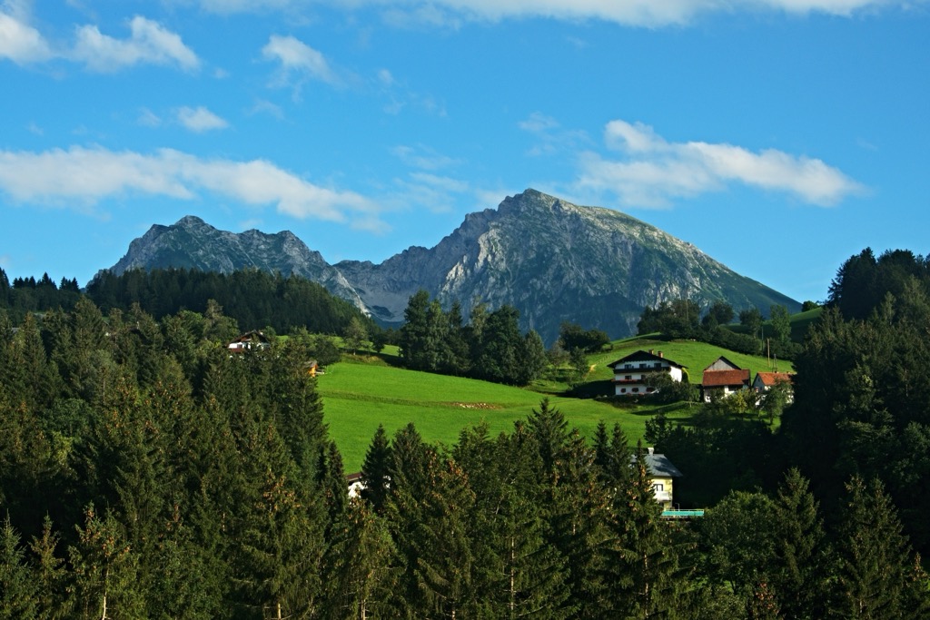
Styrian Eisenwurzen Nature and Geopark lies at the heart of this mountainous region. Rugged mountain ridgelines are met with densely forested hillsides and pristine alpine terrain.
The landscape is also marked by a plethora of river valleys. Prominent rivers in the region include the Enns, Erzbach, Salva, and Lassingbach. The Seeaubach is situated along the southern edge of the park.
Rivers in the region, and their tributaries, have cut out deep gorges in the landscape. The walls of these gorges are often too steep for forested patches, instead being covered in low growing grasses or marked by sheer cliffs. Within the park also lie numerous caves, moors, and natural springs.
Around half of the park is forested, with many of the tallest peaks being free of tree coverage. Throughout the park lie four established communities along with open meadows and clearings. The small communities within the park are surrounded by the stunning mountainous landscape.
Styrian Eisenwurzen Nature and Geopark is located near various other parks and protected regions. Directly northwest of the park lies the Kalkalpen National Park while the Nature Reserve - Eastern part of the Dead Mountains is to the west. Mürzer Oberland Nature Park lies to the east.
Peaks in the park are part of the Northern Styrian Alps, marking the northernmost section of the Eastern Alps, a subrange of the greater European Alps.
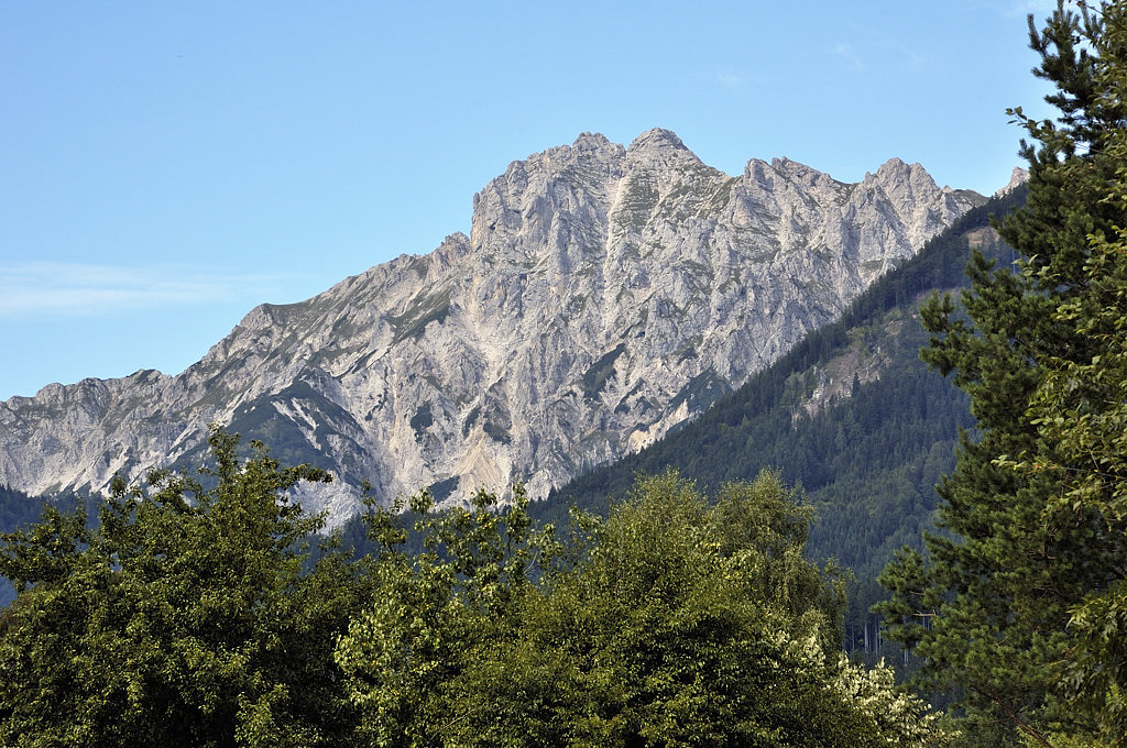
Elevations in the park range from 406 m (1,332 ft) up to the summit of Hexenturm. These peaks are part of the Northern Limestone Alps, and began forming along with the rest of the Alps during the Alpine Orogeny.
This major mountain building period began to take place around 65 million years ago as the African and Eurasian tectonic plates collided with one another. The immense pressure caused by this collision, forced the upheaval of the Earth’s crust, creating the base of the Alps.
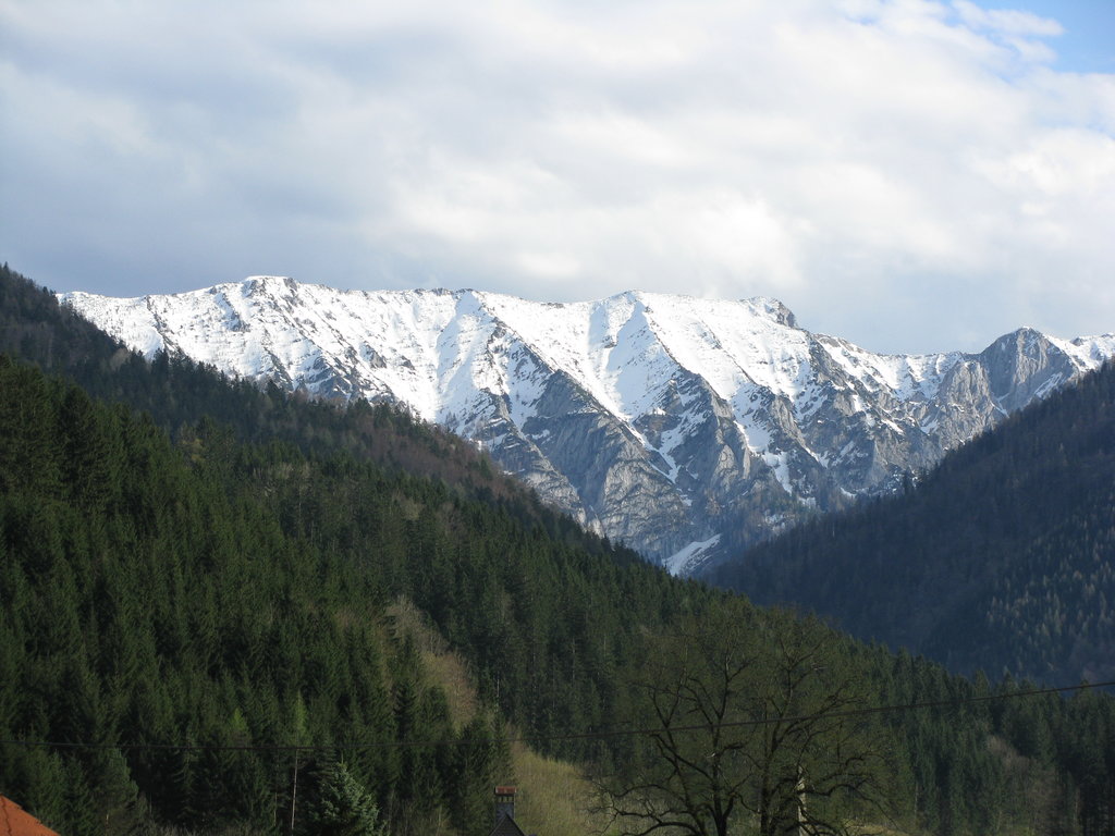
The landscape visible today within the park was drastically shaped by widespread glaciation and continual erosion. As glaciers retreated they left behind sweeping basins amidst the peaks. Over the course of millions of years, rivers in the region further carved out the limestones and dolomites which date back to the Mesozoic period.
Major peaks within the park include Hexenturm, Gamsstein, Hochstadl, Hochkar, and Tamischbachturm.
Around half of the park is forested with common trees being fir, pine, spruce, and beech. The forested ravines are populated by primarily pine trees.
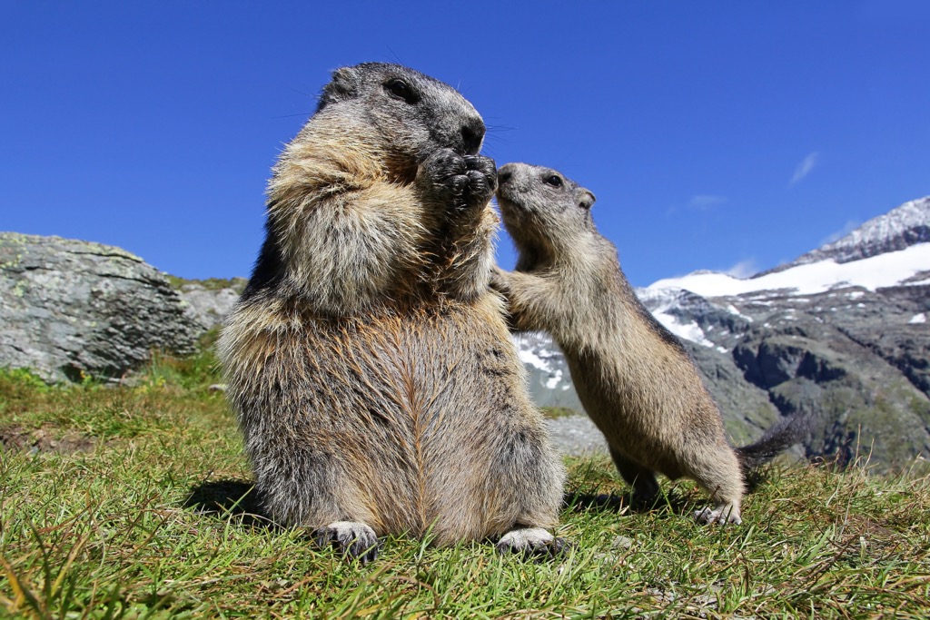
Other common plants found in the park include daphne, snow roses, and numerous species of liverworts, coltsfoot, buttercups, and wood anemones. Higher elevations feature pasture lands, many having once been used for alpine farming.
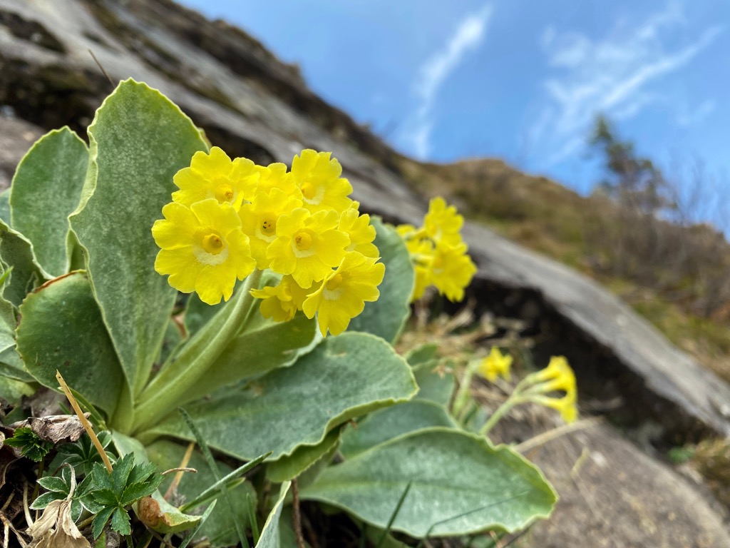
Meadows orchards are common amidst the valleys of the park along with low growing grasses, monkshood, whiter germer, and silver thistle. Amidst the rocky terrain lie auricula, able to withstand the harsh growing conditions.
The various waterways in the park are home to populations of brown trout. This trout species acts as a predator in the water often feasting on smaller animals and a variety of insects.
Artifacts discovered near the park suggest that humans have inhabited this region of land as early as the Stone Age. Hunting artifacts date back between 18,000 and 10,000 BCE, with other artifacts coming from around 1,000 BCE.
Following the fall of the Roman Empire, the region was slowly populated during the great migrations by numerous Germanic tribes. Around 600 CE, the Slavs took control of the region while more Bavarian people began flocking into the area.
The Otakers dynasty ruled over what would become the Imperial March of Styria until the early twelfth century. Since the family was originally from Steyr, the region came to be referred to as “Steiermark”. The end of the Otaker line was later followed by the rule of the Habsburgs.
Ottoman invasions took place during the sixteenth and seventeenth centuries, resulting in loss of life and destroyed structures and villages throughout the region. Many people were either killed or brought into slavery during this time by the Ottoman Empire.
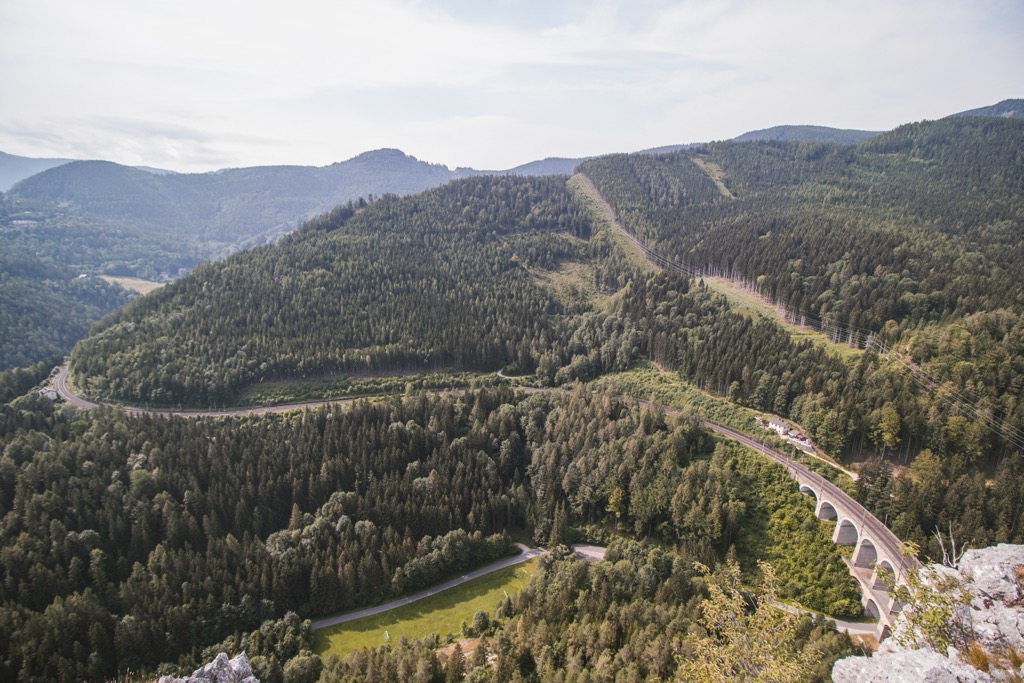
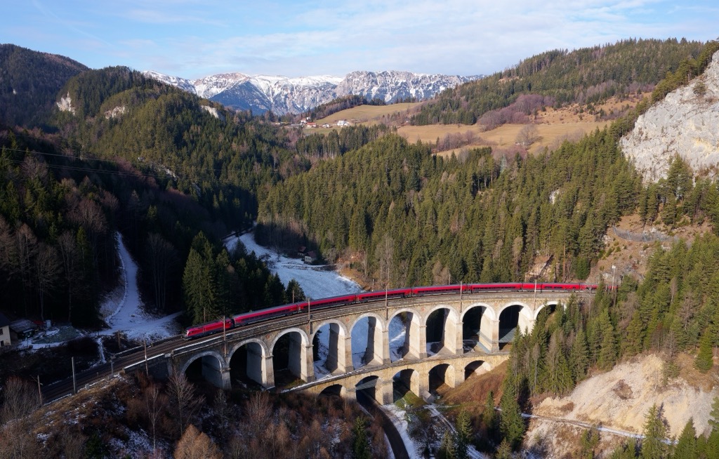
The completion of the Semmering Railway in 1854 brought new life to this mountainous region. Tourists were able to explore the alpine terrain and lake resorts dotted throughout the area.
The fusion of the seven Styrian municipalities resulted in there being four communities located within the park; Altenmarkt bei St. Gallen, Landl, St. Gallen and Wildalpen. In order to protect and preserve the biodiversity of the region, the park was established in 1996. In 2015 it became a UNESCO Global Geopark.
Styrian Eisenwurzen Nature and Geopark is home to numerous hiking trails. Here are some of the most popular trails in the park:
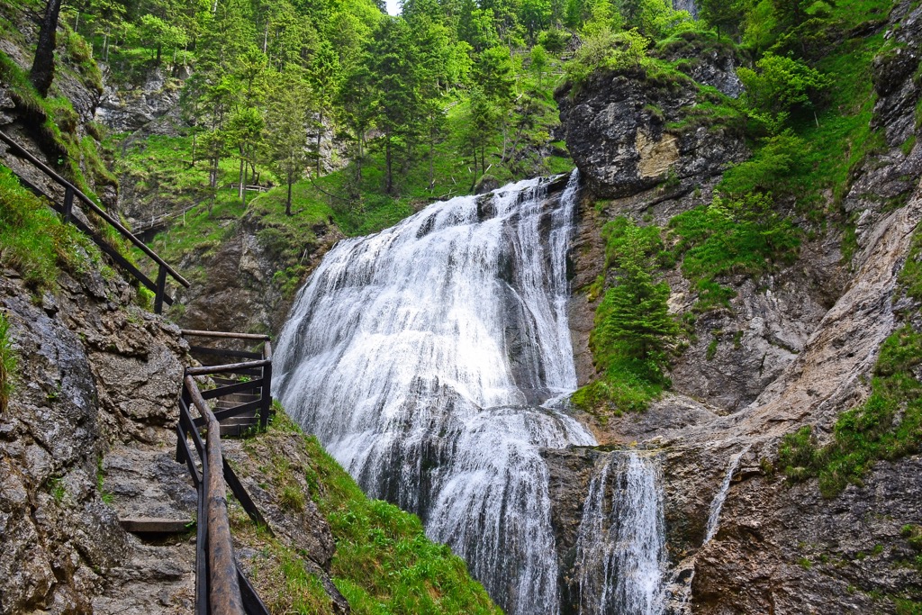
This out and back hike takes hikers to one of the most stunning waterfalls in the park. The trail begins relatively flat, following along the Salza River. Hikers then climb steadily through the deep forested gorge following a creek.
Along the route lie numerous elevated platforms and bridges, while the trail steadily climbs. Once at the top hikers are rewarded with breathtaking views of the gorge and a series of five waterfalls. Out and back this route is 3.5 km (2.2 miles) in length and features 309 m (1,013 ft) of total elevation gain.
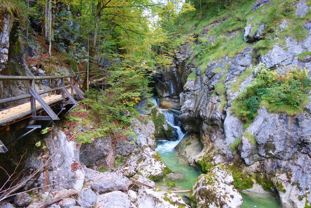
This gentle route is a loop trail which follows along the Gamsbach stream. The path then leads hikers through the Nothklamm gorge which follows along a wooden footbridge. There are 48 stations along the route which describe the geological history of the region.
Those visiting the path can also include a visit to the Kraushöhle, which marks the largest gypsum crystal cave found throughout Central Europe. Round trip this loop trail is 5 km (3.1 miles) and features 259 m (850 ft) of elevation gain and loss.
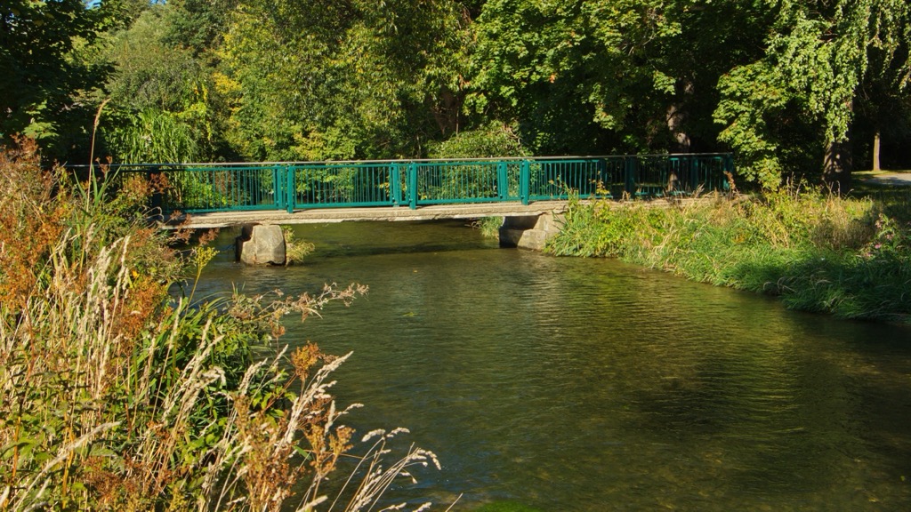
The Mühlbach stream lies within the park and was designated as a natural monument back in 2006. Hikers can follow along trail 644 which passes along the banks of the river. Along the route are numerous suspended platforms and bridges, offering stunning views of the flowing stream below. This trail begins at the Erb creek and finishes at Tieflimauer.
Looking for a place to stay near Styrian Eisenwurzen Nature and Geopark? Here are some of the best cities and villages to check out near the park:
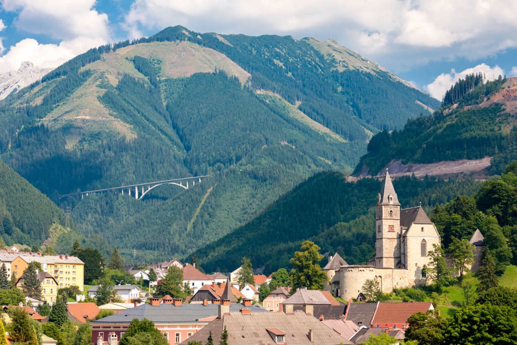
The town of Eisenerz lies just south of the park, marking an old mining town in the region. Situated in the Erzbach Valley, the town is home to around 4,000 residents. Eisenerz is surrounded by mountainous terrain with Pfaffenstein and Erzberg dominating the landscape.
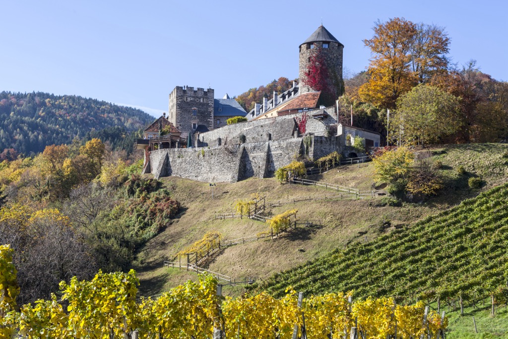
Surrounded by stunning views and a plethora of hiking trails, the town also features notable sites showcasing the history of the region. Visitors can check out the fortified St. Oswald’s Church, a mining museum, and an old mining shift tower. The castles of Leopoldsteiner and Leopoldstein lie a couple of kilometers outside the town.
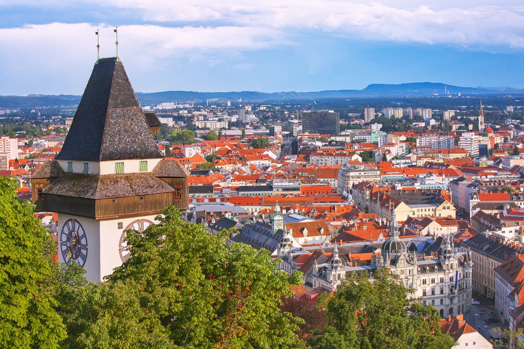
The city of Graz lies southeast of the city, marking the capital city of the Austrian province of Styria. With an urban population of over 650,000, Graz marks the second largest city in the country. Within the city lie four colleges and four universities, garnering it the reputation of a university city.
The historic town center is known for being one of the best preserved in Central Europe, having been declared a UNESCO World Heritage Site in 1999. Other sites near the city include Schlossberg, Eggenberg Palace, and Herz-Jesu-Kirche.