Get PeakVisor App
Sign In
Search by GPS coordinates
- Latitude
- ° ' ''
- Longitude
- ° ' ''
- Units of Length

Yes
Cancel
❤ Wishlist ×
Choose
Delete
The Morning Star Natural Resource Conservation Area (NRCA) protects a number of native plant communities and habitats around the Spada Lake basin in Washington in the United States. There are 11 named mountains in the conservation area. Del Campo Peak is the highest at 6,608 ft (2,014 m) and the most prominent, rising 2,244 ft (684 m).
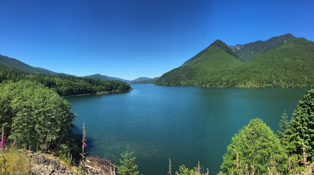
Covering 37,842 acres (15,314 ha), the Morning Star Natural Resource Conservation Area (NRCA) conserves habitats such as subalpine meadows, wetlands, and lakes in the Spada Lake basin in Snohomish County in Washington state. It also protects native plant communities, including six species that are threatened or sensitive in the state. It also protects vital habitat for wildlife species such as grizzly bears, gray wolves, and the Pacific fisher.
The NRCA occupies the middle and high elevations around the Spada Lake basin. The basin traps warm, moist air moving east from Puget Sound and the Pacific Ocean. Because of this, it is one of the wettest areas in the North Cascade Mountains. The combination of cool temperatures and high precipitation means that subalpine plants occur at abnormally low elevations here.
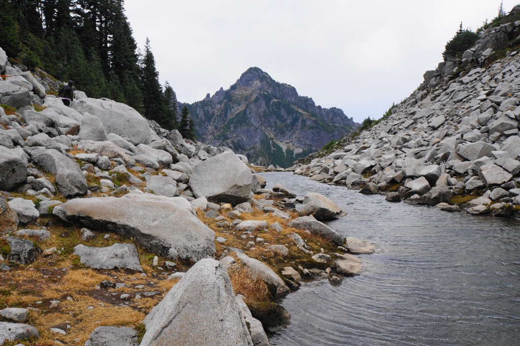
The Morning Star NRCA lies adjacent to the Wild Sky Wilderness. The North Fork Stillaguamish River borders the NRCA to the north and Middle Fork Snoqualmie River runs to its south. The highest peak in the area is Del Campo Peak (6,608 ft/2,014 m), followed by Gothic Peak (6,178 ft/1,883 m).
The Cascade Mountains are a mix of terranes – distinct rock groupings separated by faults. This jumble of rock formations began forming millions of years ago and thousands of miles south in the Pacific. Moving northwards on tectonic plates, they merged around 90 million years ago.
When this moving mass encountered the North American plate, the rocks were forced upwards and faulted laterally, thus forming the collage of rock groupings seen today. The faults are north and south trending.
Erosion worked away at the mountains formed by the initial collision, lowering and leveling the ancient mountains. Then, over the past 40 million years, a second stage of the mountain building occurred. Heavy oceanic rock wedged beneath the region. Extreme heat caused the rock to melt, leading to volcanic eruptions such as that of Mount Baker. The rock that didn’t melt and erupt recrystallized, forming enormous swaths of granitic rock that make up the core of the North Cascades.
More recently, glaciers also played a role in shaping the landscape, carving out valleys and waterways and leaving behind alpine lakes.
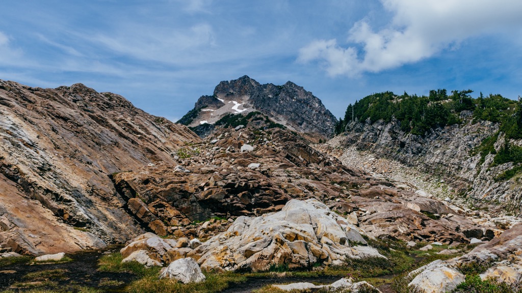
The Morning Star NRCA receives 254 - 508 cm (100 - 200 in) of precipitation annually, much of it as snow. It is part of the North Cascades ecoregion and protects native plant communities, subalpine plants growing at unusually low elevations, and important habitats such as wetlands and subalpine meadows.
The conservation area is home to six sensitive plant species – one state-threatened plant and five state-sensitive plants, one of which is the black lily. Lower elevations typically see Douglas-fir, western red cedar, and western hemlock, with red alder and big leaf maples showing up in riparian areas. Higher elevations tend to see mountain hemlock, Pacific silver fir, and yellow cedar.
Wildlife thrives in this lush environment. Common birds include juncos, robins, thrushes, wrens, and chickadees. Endangered or threatened species that make their home here include Pacific fishers, grizzly bears, gray wolves, marbled murrelets, northern spotted owls, and bull trout.
The first human inhabitants moved into the region around 10,000 years ago as glaciers retreated. In the present day, Snohomish County was occupied by the Sbocohobcs, a Native American group that fished, hunted, and gathered. They are related to the Snohomish peoples, a Coast Salish tribe.
By the mid-1800s, settlers were arriving in the region in large numbers. Not only did foreign diseases wipe out many of the Native inhabitants, but settlers quickly began to take advantage of the region’s abundant natural resources. Logging, mining, hunting, fishing, and the fur trade all put pressure on the natural resources that sustained Native Americans and their way of life.
In 1855, the Point Elliott Treaty established four reservations and many Native Americans moved to the Tulalip Reservation near Marysville.
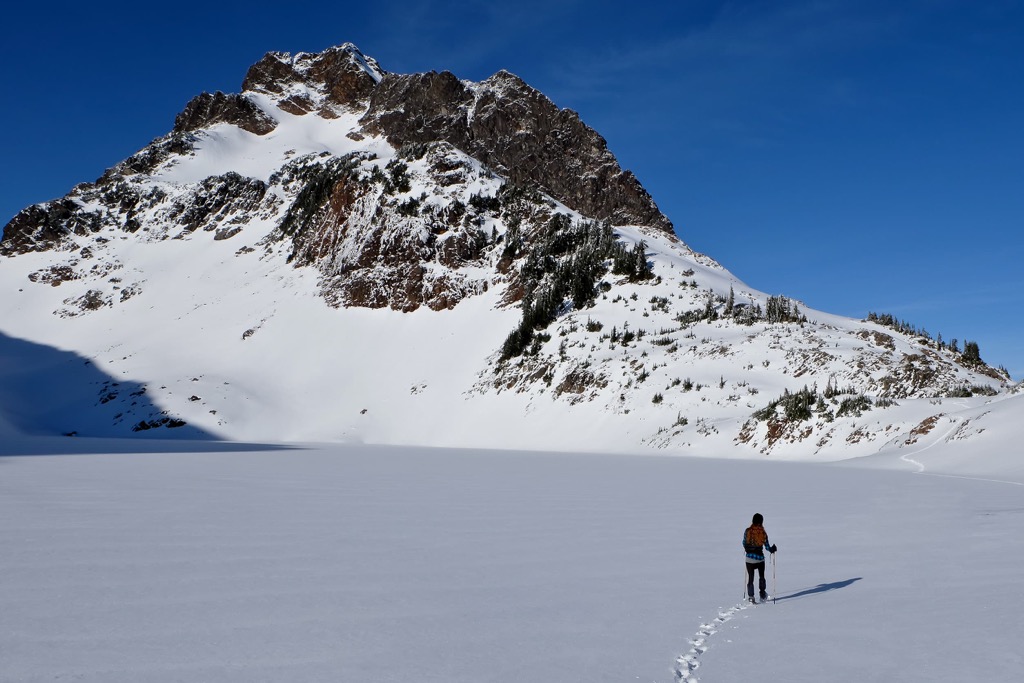
Several wilderness trails run through the NRCA and toilets are located at the Ashland Lakes trailhead and the Boulder/Greider trailhead. There are a number of backcountry campsites. Campfires are allowed only in fire pits in designated campgrounds (keep an eye out for fire bans!) and campers are asked to purchase firewood locally to avoid carrying in insects and disease from non-local wood.
The Weden Creek Trail to Gothic Basin is 3.3 mi (5.3 km) long and considered challenging. It starts at Barlow Pass along the Mountain Loop Highway. The trail begins at 2,300 ft (700 m) and steeply ascends to 5,000 ft (1,525 m) elevation. Some sections require scrambling and stream crossings that can be difficult due to snow bridges, even late into the summer.
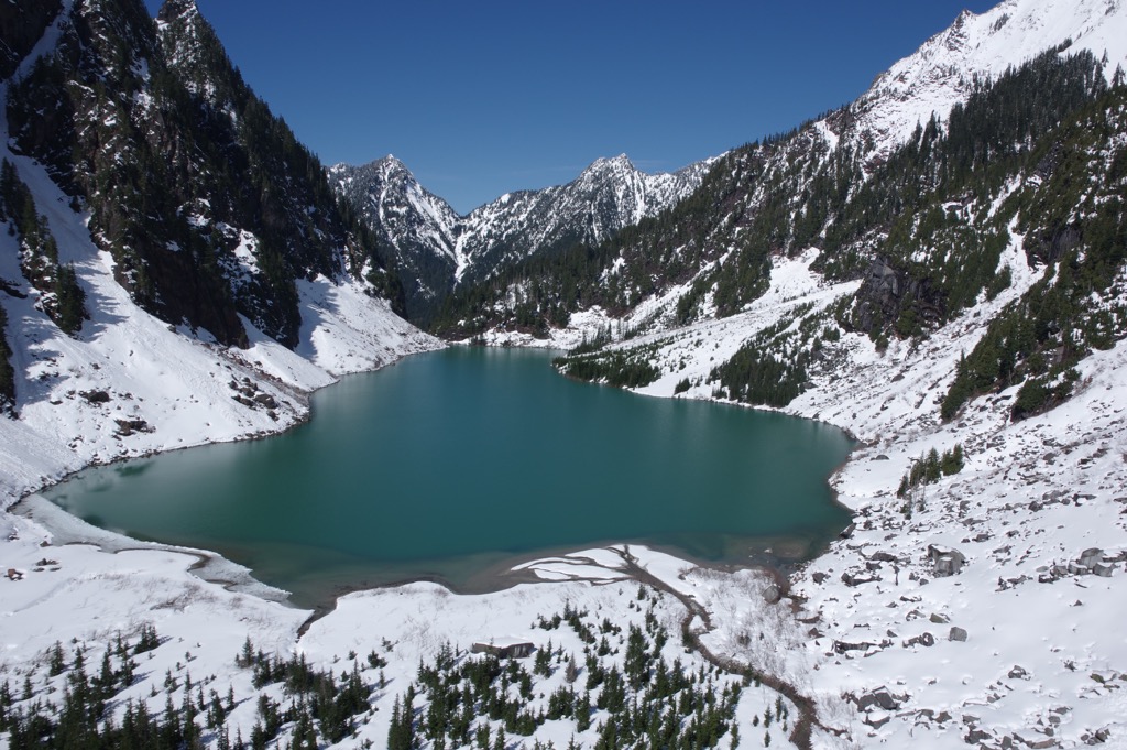
The basin was shaped by glaciers and is located beneath the east face of Gothic Peak and south face of Del Campo Peak. Foggy Lake, a 19 acre (7.5 ha) glacial lake, sits in the basin and is the headwaters of Weden Creek.
The trail to Gothic Peak is 10.5 mi (16.9 km) round trip and gains about 4,000 ft (1,220 ft) in elevation. The trail arrives first at Gothic Basin. This first part of the trail is strenuous but not technically challenging.
From the basin to the peak, however, is steep and requires scrambling and navigating around boulders. There is a shorter, more technically challenging route, and a longer, slightly easier route. The final stretch to the top is generally considered to be class 3. The reward for the hard trail is beautiful views from the top!
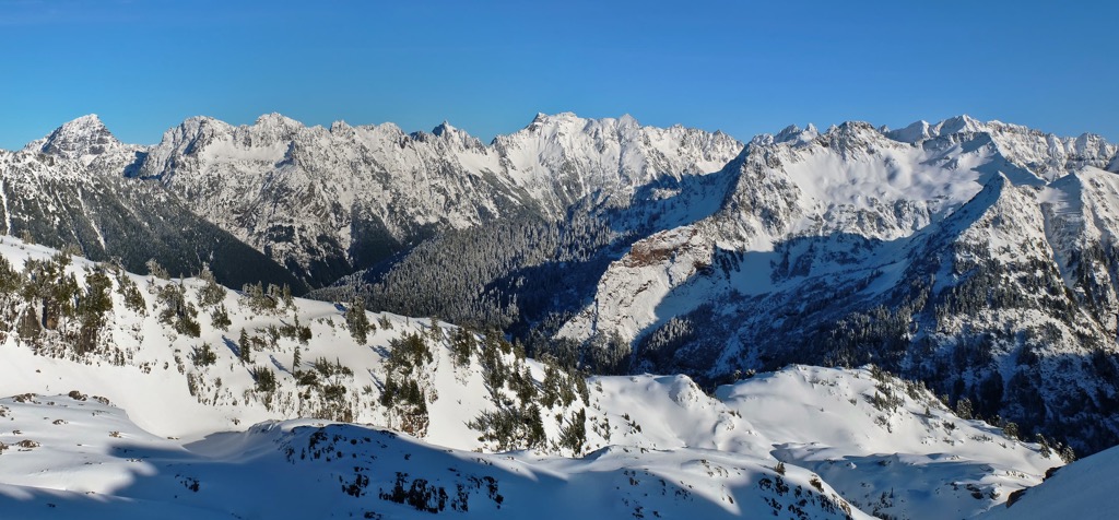
The trail to Ashland Lakes can be done as a longer hike or broken into smaller sections. The 3.7 mi (6 km) trail cuts through mature trees and bogs, and passes alpine lakes including Beaver Plant Lake, Upper Ashland Lake, and Lower Ashland Lake. The trailhead is located along Forest Service Road 4021.
The lakes along the way can be used as turnaround points. Lower Ashland Lake is located at 2,670 ft (814 m) elevation and Upper Ashland Lake sits at 2,846 ft (867 m). Six backcountry campsites can be found at Beaver Plant Lake.
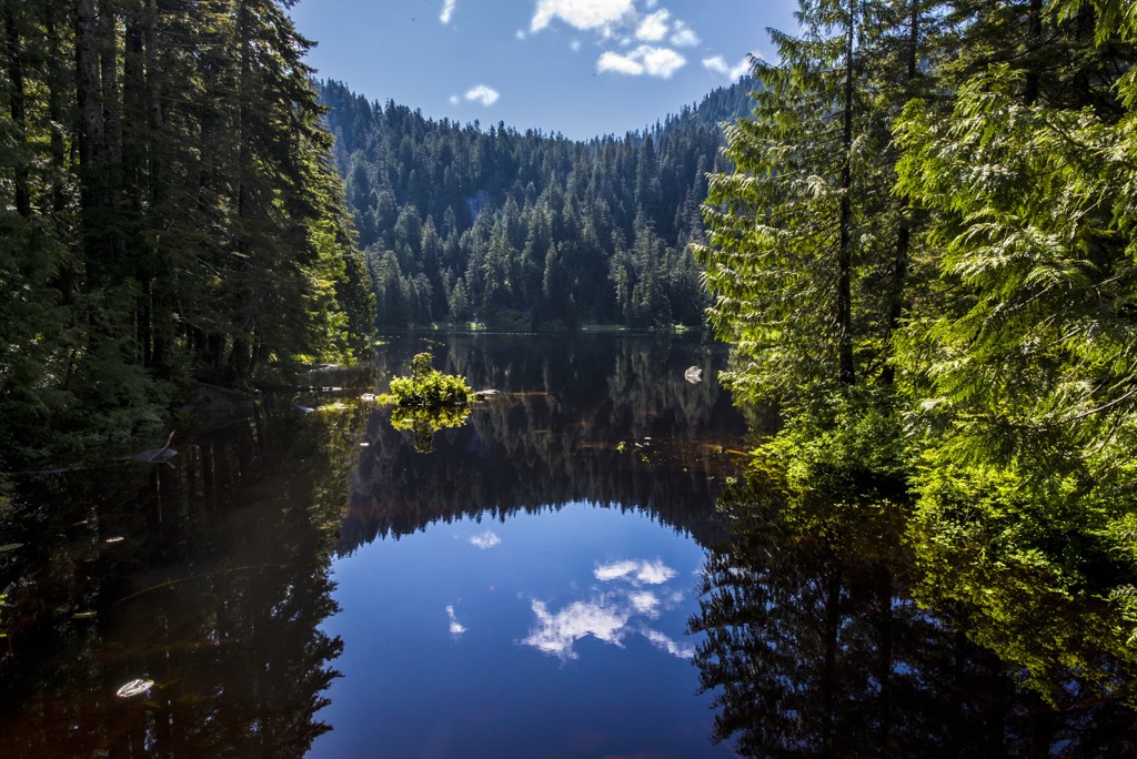
The Greider Lakes trail is 7.9 mi (12.7 km) out and back with just shy of 2,000 ft (610 m) elevation gain. The hike begins with a gentle incline but becomes steep with switchbacks before reaching the lakes. There are well maintained and scenic campsites located around both lakes.
It’s not a long drive from the Morning Star NRCA to reach towns with fuel, food, and lodging options. Not too far are the bigger cities of Everett and Seattle with a wide selection of attractions, restaurants, and accommodation.
Everett has a population of 111,000 people and plenty to do both outdoors and around town. During the summer, book ahead of time and take a ferry out to Jetty Island for a day of beaches and nature trails. Or else walk the nature trail on Spencer Island, a prime location for birders and photographers.
The Schack Art Center, an expansive arts and crafts gallery, including a glassblowing workshop, is worth a visit. The Black Lab Art Gallery is an independent art gallery where you can enjoy a coffee, beer, or glass of wine while visiting.
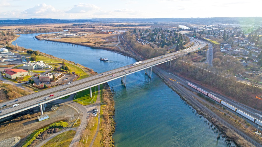
Looking for a bite to eat in the city? Between the cafes, breweries, and restaurants offering comfort food, Asian cuisines, vegetarian options, and more, it’s not hard to find something to suit everyone. Lodging in the city can be found at a number of hotels, motels, and nearby campsites and RV parks.
Population 740,000, Seattle is chock full of culture and a stone’s throw from some beautiful spots in the Pacific Northwest. One of the most iconic attractions is the 605 ft (185 m) tall Space Needle, built for the 1962 World Fair, complete with an observation level at the top. On a rainy day, stay inside and check out the Museum of Pop Culture and the Chihuly Garden and Glass Museum, celebrating the work of world famous glassblower Dale Chihuly.
Another top spot in the city is Pike Place Market with dozens of artisans, food options, buskers, and the well-known gum wall. Get out on the water by taking a ferry across Puget Sound.
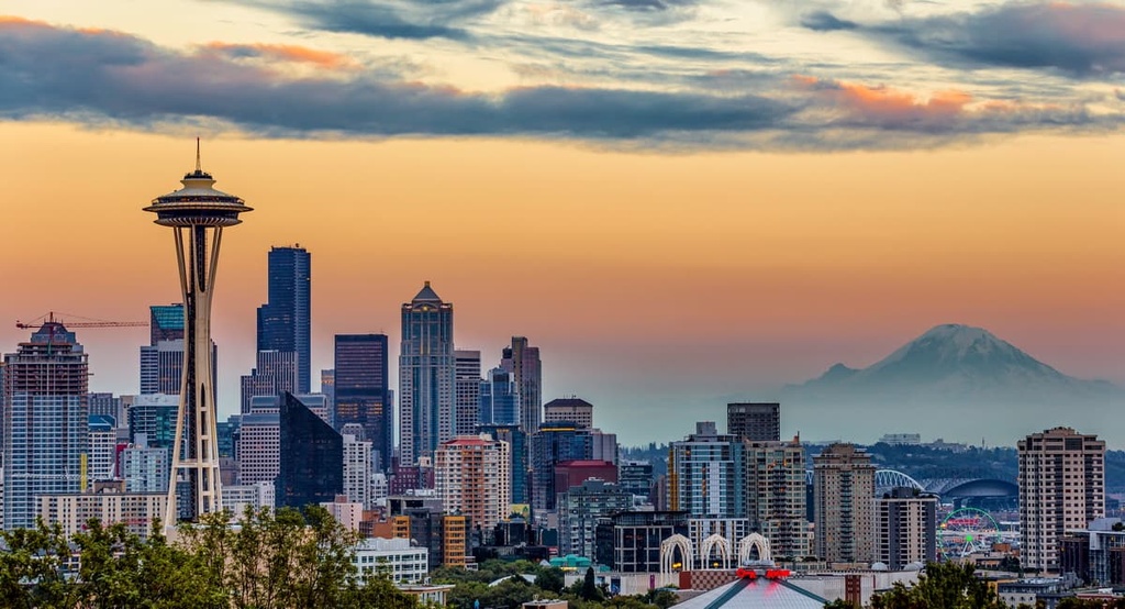
Seattle also has a bustling Chinatown-International district with, among other things, many Asian restaurants and the Wing Luke Museum that focuses on the Asian Pacific American experience.
There are loads of coffee shops, breweries, and restaurants to choose from, offering diverse cuisines, fresh seafood, and locally sourced produce and products. Lodging options range from campsites and RV parks outside the city to hotels and resorts.
Explore Morning Star NRCA with the PeakVisor 3D Map and identify its summits.


