
Scan the QR code and open PeakVisor on your phone
Kachemak Bay State Park has 6 named peaks. The highest is Sadie Peak at 1,317 m. Other notable peaks include Grace Ridge, Goat Rope Summit and Erma.
Located on the southwestern edge of the US state of Alaska’s Kenai Peninsula, Kachemak Bay State Park is a biodiverse region with critically important habitat for local wildlife. It is home to 7 named mountains, the highest of which is Sadie Peak (4,321ft/1317m) and the most prominent of which is Grace Ridge (3,107ft/947m). Other notable peaks in the park include Goat Rope Summit, Sadie Kob, and Poot Peak.
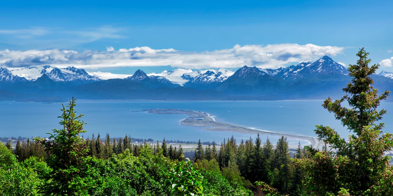
Kachemak Bay State Park is situated in the southwesternmost portion of the Kenai Peninsula, which juts out into the Gulf of Alaska in the state’s South-Central Region. The park is just across Kachemak Bay from the city of Homer and is located within the Kenai Peninsula Borough.
It is located in one of the most remote sections of the Kenai Peninsula, just south of the Kenai Wilderness, Kenai National Wildlife Refuge, and Kenai Fjords National Park. Although it is close to the cities of Homer and Seldovia, there is no road access within the region, so all visitors must fly or travel by boat to visit Kachemak Bay State Park.
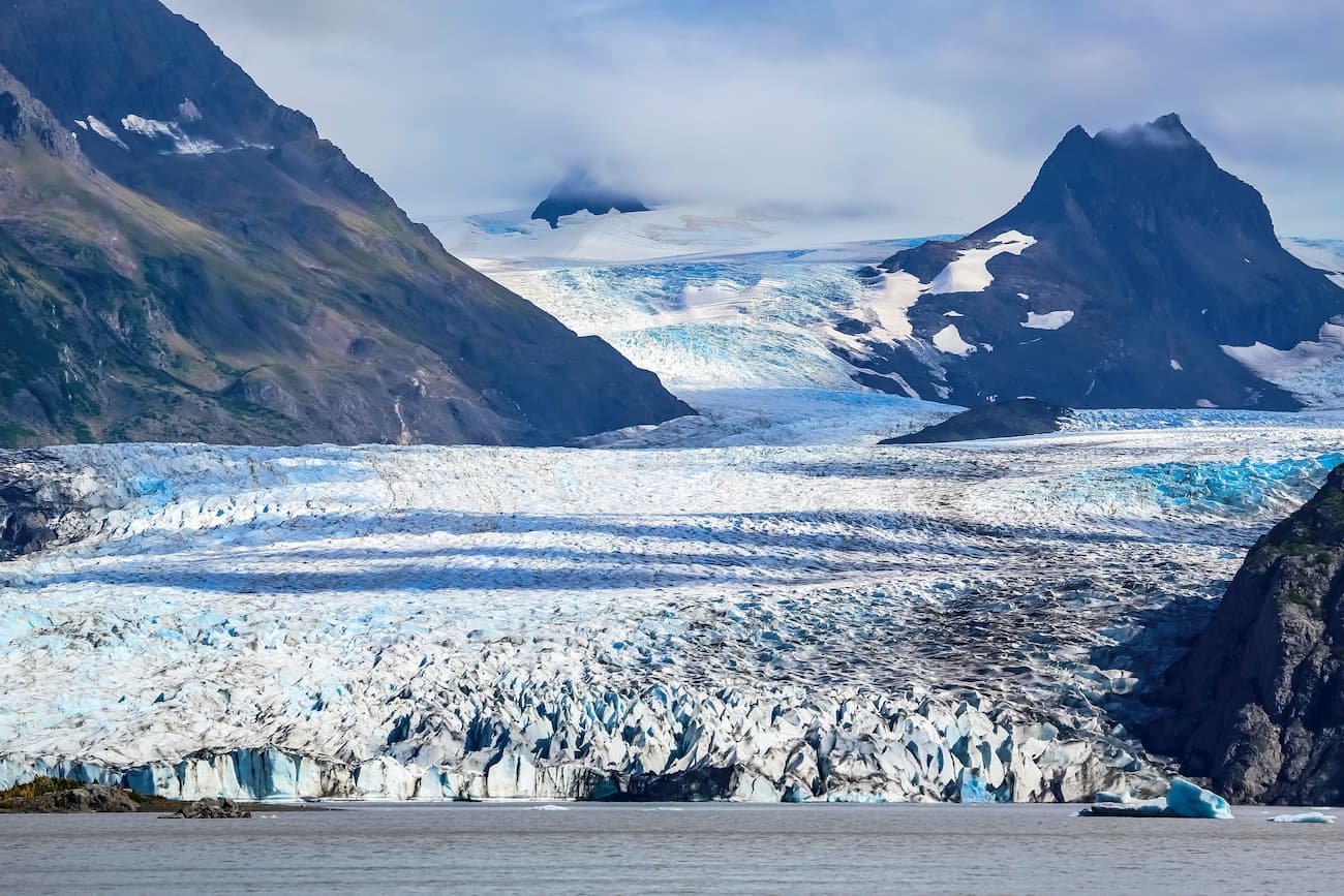
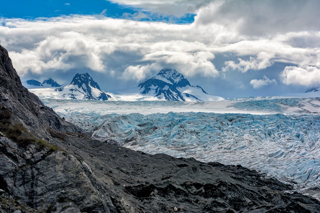
The park contains over 593.4 square miles (1,537 sq. km) of land on the western side of the Nuka Passage. It also includes Nuka Island, parts of the Chugach Mountains, and a small southern section of glaciated terrain that’s separated from the Harding Icefield by one large valley.
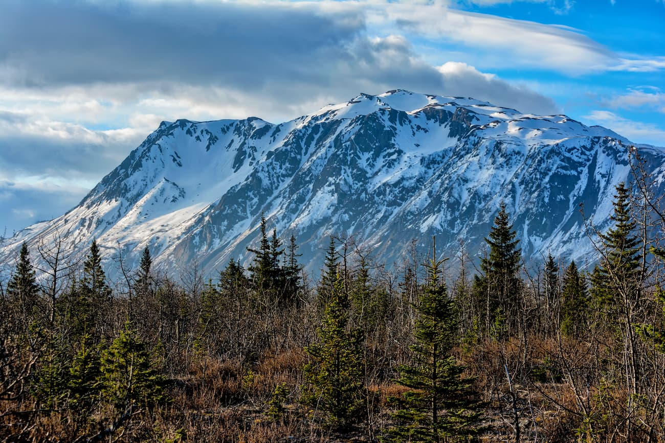
The mountains within Kachemak Bay State Park are part of the Chugach Mountains, which formed some 65 million years ago from sand and mud depositions on the seafloor. As the bedrock of the region formed, igneous intrusions created an abundance of quartz veins as well as gold and silver lodes.
Millions of years later, erosion of this bedrock exposed the gold and silver in the region, causing placer gold deposits throughout the streams and rivers of the Kenai Peninsula. During the Pleistocene, Alaska and the Kenai Peninsula were covered in a massive ice sheet that carved out the many U-shaped valleys seen in the region today. The glaciers found within Kachemak Bay State Park are remnants of this icy past.
Kachemak Bay State Park is well known for its biodiversity. The park is home to temperate rain forests typical of southcentral Alaska, as well as rocky beaches, alpine meadows, and glaciers.
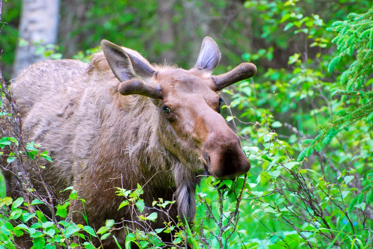
As far as wildlife goes, the park features an abundance of large mammals, such as moose, black bears, brown bears, moose, mountain goats, wolves, and coyotes. The park is also a great area for bird watching, particularly if you’re interested in spotting gyrfalcons, puffins, and bald eagles.
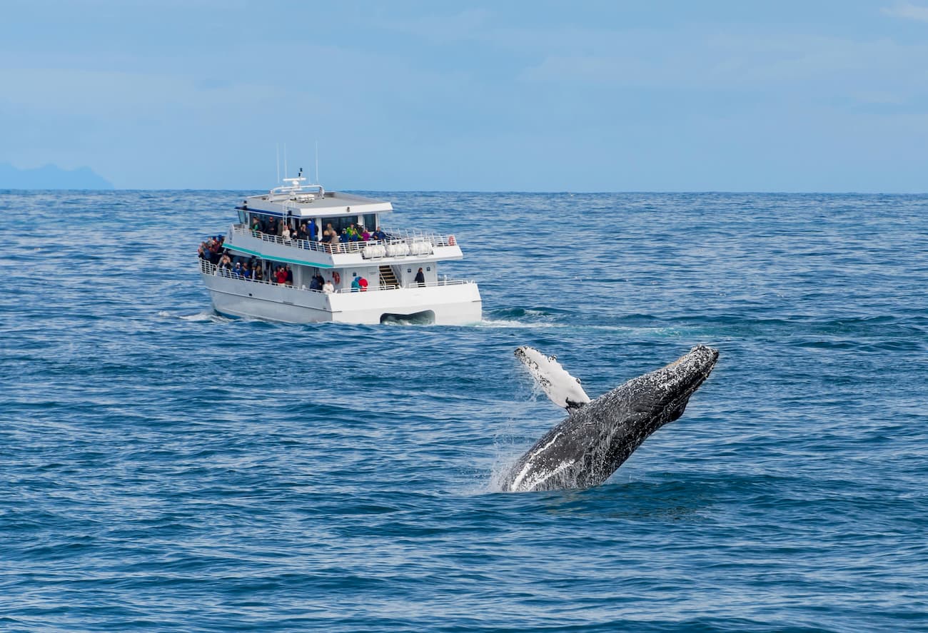
Since Kachemak Bay State Park also includes a section of Kachemak Bay itself, visitors can also see whales, porpoises, orcas, sea otters, harbor seals, and Steller sea lions at sea and near shore.
Additionally, during the 1990s, the park suffered from an infestation of spruce bark beetles, which caused thousands of acres of standing dead trees, many of which are still visible today. The region also sometimes experiences forest fires, the most notable of which was the 2009 Mile 17 fire, which burned sections of these standing dead trees.
The Kenai Peninsula and the area of Kachemak Bay State Park have been home to humans for tens of thousands of years. The Alutiiq (Sugpiaq) and Dena’ina were two of the most dominant nations of the region until the arrival of Russian fur trappers and other European settlers in the 17th century.
After placer gold was discovered in the 1880s, people flocked to the Kenai Peninsula, mostly in the Turnagain Arm region near the town of Hope. However, gold mining in the region never became that successful and rumors of the region’s mineral riches were greatly over exaggerated.
In June 1970, Kachemak Bay State Park became Alaska’s first ever state park. At the same time, the Alaska Department of Natural Resources created Denali State Park and Chugach State Park, paving the way for the designation of 117 other state-owned natural areas in later years.
Kachemak Bay State Park is remote, so access to the region is by boat and bush plane, only. However, there are over 25 miles of maintained trails within the park that are available for experienced hikers. Some of the most popular trails even have mooring buoys available to tie up your small boat while you hike. Here are a few of the best hiking options in the park:
The Humpy Creek Trail can be accessed from the Humpy Creek Trailhead or from the Grewingk Glacier Trail. It offers good views of Hupy Creek, which is a known spawning area for pink salmon (aka humpy salmon. The trail can be a good spot to see blackbears fishing for salmon, particularly during the months of July and August, but visitors should take care not to disturb the bears or put themselves in danger.
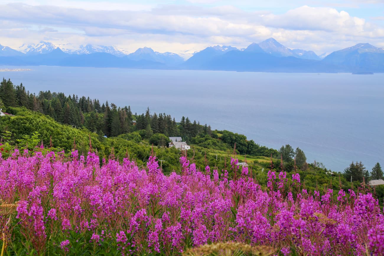
The Moose Valley Trail is a particularly good place to see wildflowers in mid-summer. It starts at an intersection with the China Poot Lake Trail and continues through ridges and valleys until crossing Moose Valley Creek and finishing at the Poot Peak Trail.
Kachemak Bay State Park is located in a remote section of southcentral Alaska, so there are no sprawling metropolises nearby. However, there are quite a few small towns and villages in the region around the park which are a good place to start your adventure.
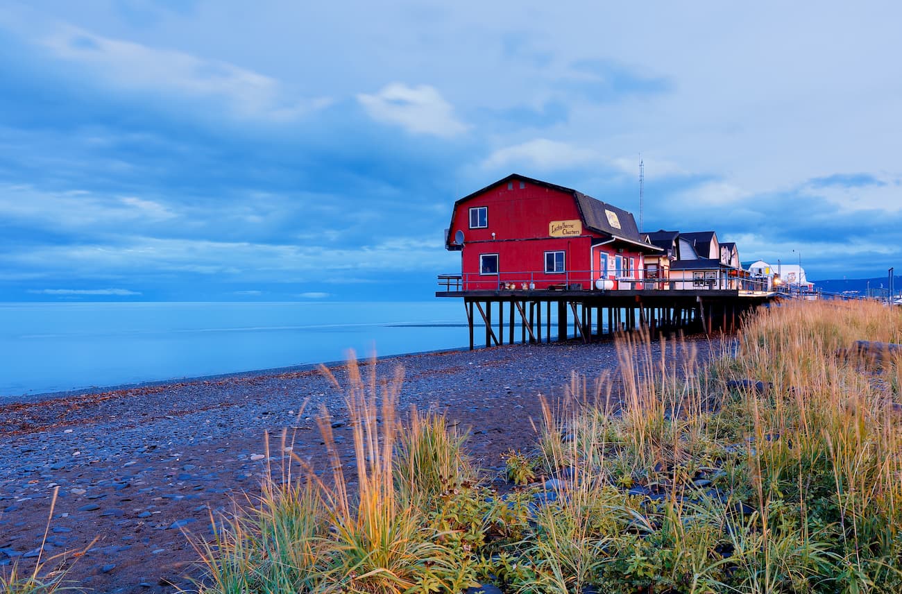
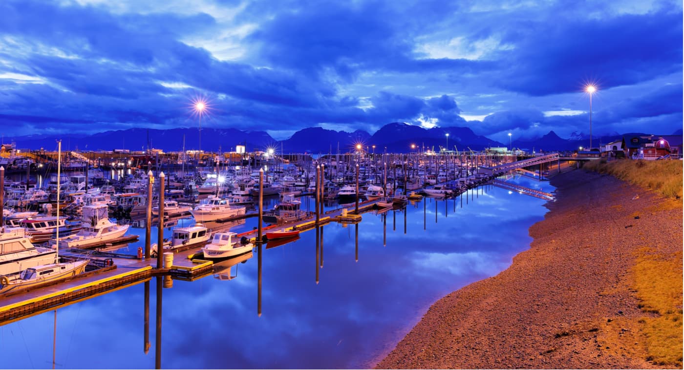
The city of Homer is located just across Kachemak Bay from the state park. It is home to nearly 6,000 people and is a short boat ride from the park’s many seaside trailheads.
Homer is fairly easy to get to from the city of Anchorage, either by road or air. It also has quite a few restaurants, hotels, and even a brewery. The city is particularly well known for its salmon and halibut sport fishing industry and it is a good place to start if you’re also interested in visiting the Kenai National Wildlife Refuge.
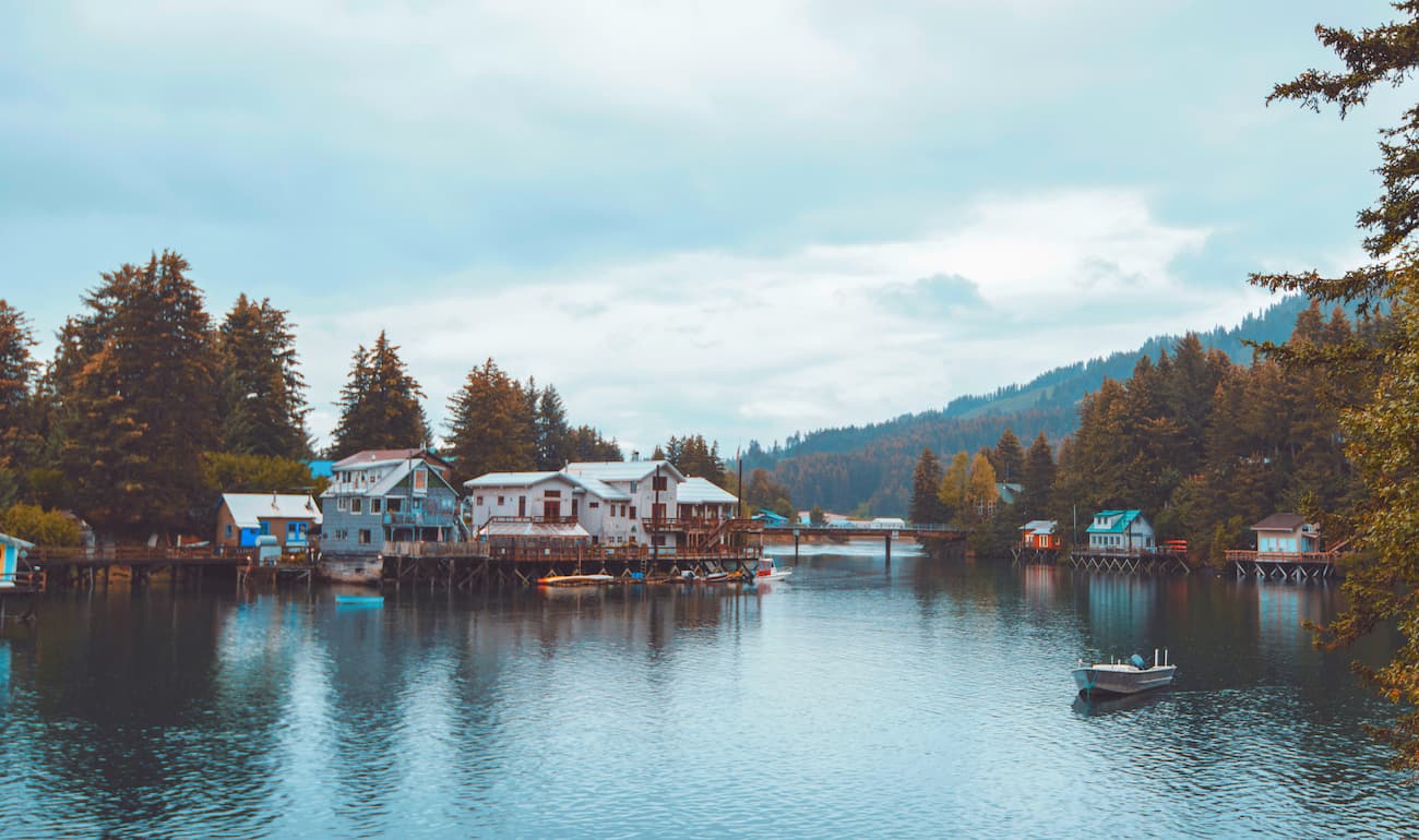
Seldovia is located to the southwest of Kachemak Bay State Park. It has a population of around 275 people, at least 1/4 of which are Alaska Natives. The city’s economy is mostly sustained by its commercial fishing industry.
There are a few small hotels in Seldovia to house visitors. Travel to Seldovia is by boat or plane, only, and there are small charter flights from Anchorage available, but most people choose to take the Seldovia Bay Ferry from Homer, instead.
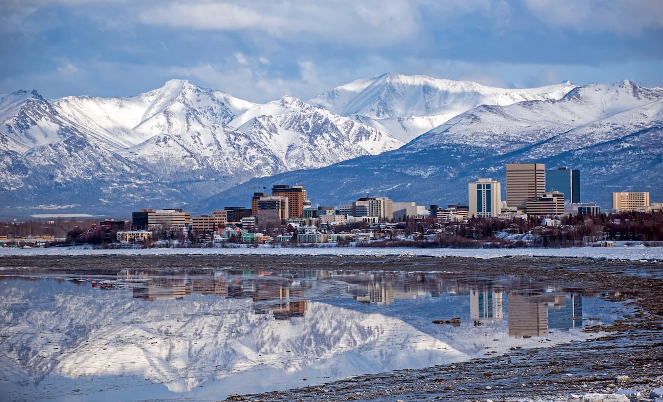
Anchorage is located a few hour’s drive north of the city of Homer, at the head of the Cook Inlet. It is Alaska’s largest city, with over 290,000 people, or nearly 40% of the state’s population.
Anchorage is home to a major international airport, which provides good connections to destinations around North America, Asia, and even Europe. The city is the starting point for most tourists to Alaska and has an abundance of good hotels, restaurants, and museums to check out during your stay.


The highest peak in Kachemak Bay State Park is Sadie Peak, at 1,317 m.
Notable peaks in Kachemak Bay State Park include Sadie Peak, Grace Ridge, Goat Rope Summit, Erma and Poot Peak.


