Get PeakVisor App
Sign In
Search by GPS coordinates
- Latitude
- ° ' ''
- Longitude
- ° ' ''
- Units of Length

Yes
Cancel
❤ Wishlist ×
Choose
Delete
Hoàng Liên National Park is a 686 sq km (265 sq mi) national park in northwest Vietnam’s Lào Cai province. Hoàng Liên is home to 4 named mountains, chief among them the 3,143-meter (10,312-foot) Phan Xi Păng (Fansipan), which is both the tallest mountain in Vietnam and the highest point in all of Indochina.
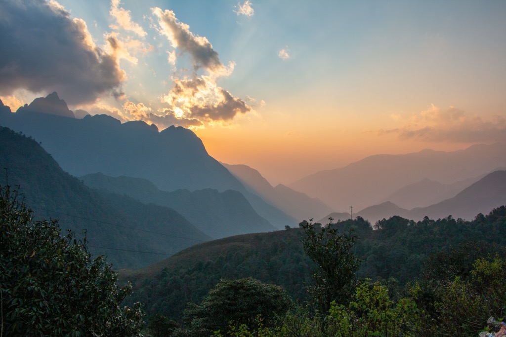
Hoàng Liên National Park is located in the Sa Pa & Văn Bàn districts of Lào Cai province, in the far north of Vietnam. It is primarily a mountainous park, with elevations ranging from 1,000 to 3,000 meters (3,280 to 9,840 ft). The park is dominated by the Hoàng Liên Son mountain range of Southeast Asia, which culminates in the peak Phan Xi Păng (3,143 m / 10,312 ft).
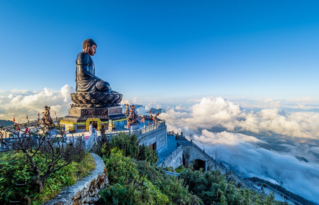
Known as “The Roof of Indochina,” Phan Xi Păng (anglicized as Fansipan) is the highest mountain in Vietnam, Laos, and Cambodia. The peak is reachable via several different hiking and via ferrata-style routes, but a cable car also runs to its summit. More info is below in the “Main Hiking Destinations” section.
Besides Fansipan, there are three other named summits in the park. These are Núi Hà Tao San (2,753 m / 9,032 ft), Pic Est (2,357 m / 7,733 ft), and Ho Tao San (2,176 m / 7 139 ft). The Hoàng Liên Son range is hemmed by two prominent river systems, the Red River to the east and the Da River to the west, both of which run southeast towards the Gulf of Tonkin.
Hoàng Liên National Park’s large elevation range creates a distinct vertical zonation, where temperatures and precipitation patterns vary dramatically depending on altitude. Lower areas, generally below 1,500 meters (5,921 ft), enjoy a subtropical climate with warm, humid summers and mild winters, with vegetation primarily characterized by lush rainforests.
As you climb higher, the temperatures drop significantly, creating a temperate climate with cool summers and cold winters as the biomes transition into tropical montane deciduous forests. The highest elevations, above 2,500 meters (8,202 ft), experience a subalpine climate characterized by short, cool summers and long, harsh winters with occasional snowfall.
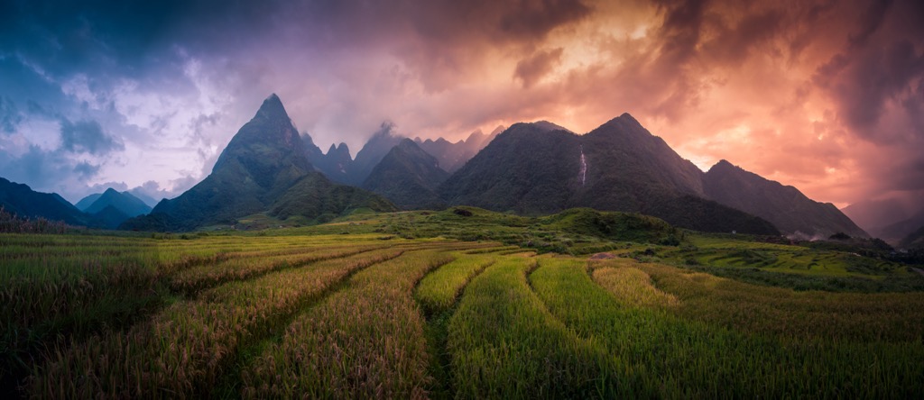
The Southeast Asian monsoon system also influences the park’s climate. From May to September, the southwest monsoon brings heavy rains, nourishing forests and replenishing rivers. The period from October to April is generally drier, with occasional mist and fog in the higher elevations.
The mountains in Hoàng Liên National Park make up the southern terminus of Southeast Asia’s Hoàng Liên Son range. This imposing range is part of the larger Himalayan orogeny, a monumental collision between the Indian and Eurasian tectonic plates that began some 50 million years ago and created the Himalaya, Earth’s highest mountain range.
The ongoing collision between these two plates continues to shape the landscape across the fault line, pushing the mountains skyward and creating a dynamic environment prone to earthquakes and landslides.
In Vietnam, the Hoàng Liên Son range primarily comprises granite and metamorphic rocks, such as gneiss and crystalline schists. These rocks were formed deep within the Earth's crust under intense heat and pressure before being uplifted and exposed by erosion. The Hoang Lien Son range's geological past is also evident in its rich mineral deposits. The mountains have long been a source of valuable minerals, including gold, silver, copper, and iron.
The region’s geological history is also intertwined with the Red River Fault, a major tectonic boundary that runs along the eastern flank of the mountains. This fault is responsible for much of the region's seismic activity, as well as the formation of the Red River Delta. This fertile lowland serves as the agricultural heartland of northern Vietnam.
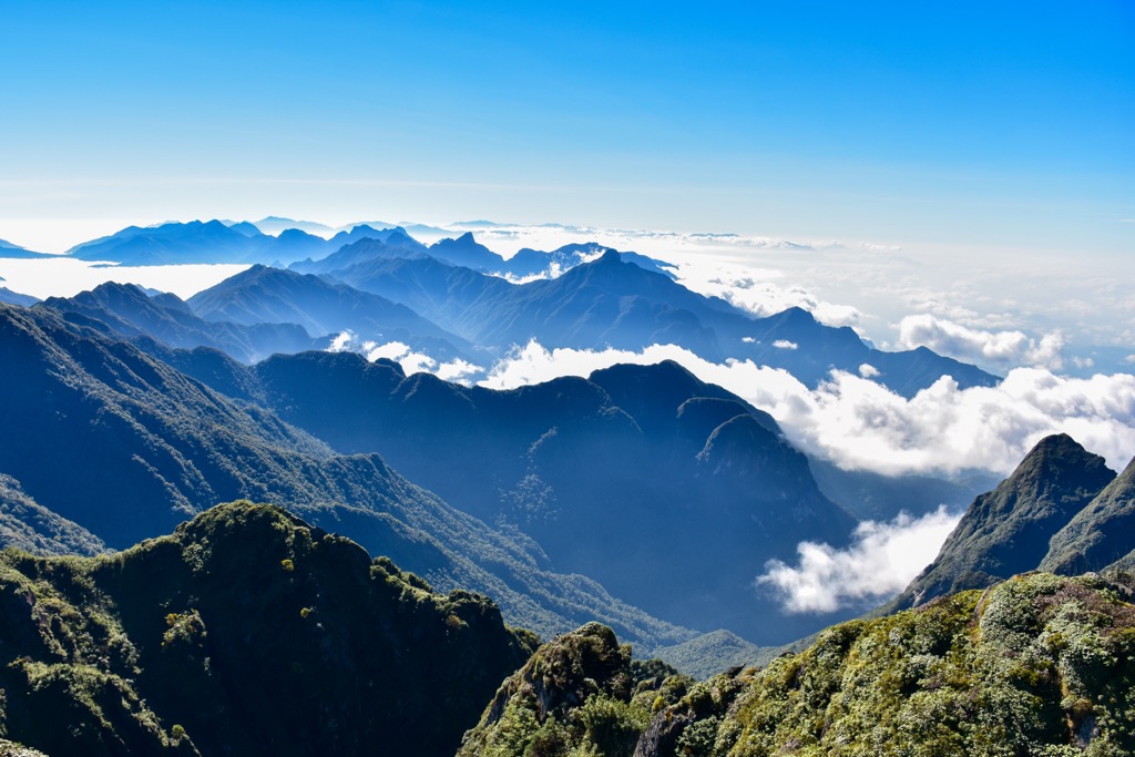
Due to its elevational variance, Hoàng Liên National Park is a biodiversity hotspot, home to over 3,200 species of flora, 775 of which are endemic and 236 of which are endangered. In fact, over 25% of Vietnam’s total endemic plants are thought to exist on the slopes of Phan Xi Păng (3,143 m / 10,312 ft).
At lower elevations in the park (below 1,500 m / 5,921 ft), tropical plant species dominate—notably, over 300 species of orchid—although humans have removed much of the vegetation at these elevations and replaced it with secondary vegetation such as grassland, scrub, and bamboo.
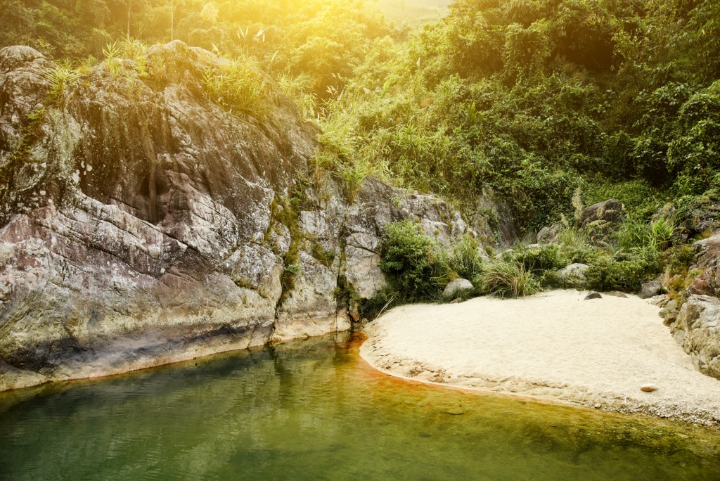
Between 1,500 meters (5,921 ft) and 2,000 meters (6,562 ft), a blend of subtropical, tropical, and temperate plants exist, including beech, birch, laurel, storax, and magnolia, as well as many ferns and Japanese red pine (Pinus densiflora). At higher elevations, hardy ferns, mosses, and lichens stand alone, as well as many species of Rhododendron and stands of Chinese dwarf bamboo (Bambusa multiplex).
Notable examples of rare flora in the park are the Fujian cypress (Forkienia hodginsii), Chinese yew (Taxus chinensis), (Coptii), Dutchman's pipe (Aistolochia), wild ginger (Asarum), ginseng (Panax), and barberry (Berberis).
Hoàng Liên National Park also hosts diverse animals, from the oddly arboreal Asian black bear (Ursus thibetanus) to the nimble serow (Capricornis sumatraensis). Historically, the region was home to the Indochinese tiger (Panthera tigris corbetti). Populations existed as recently as 30 years ago. Sadly, the IUCN Red List indicates the species is now extinct in Vietnam. Only around 300 of these rare tigers remain in the world, with the primary population in Thailand.
Records vary, but today, there are an estimated 66 species of mammals, 347 species of birds, 61 species of reptiles, and more than 60 species of amphibians in Hoàng Liên. It’s notable for the Fansipan shrew mole (Uropsilus fansipanensis) and Fansipan horned pitviper (Protobothrops cornutus), both named for the mountain looming over the park.
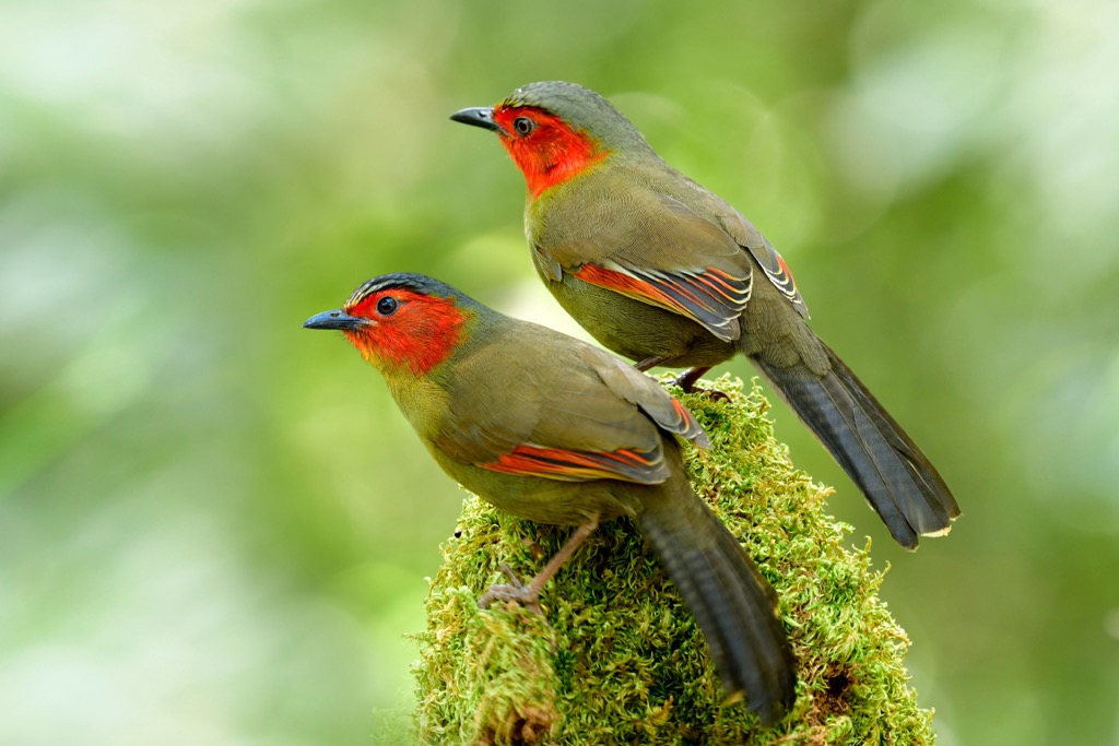
Keep an ear open for the melodious song of the scarlet-faced liocichla (Liocichla omeiensis ripponi), and scan waterways for Vietnamese salamanders (Paramesotriton deloustali) and black-breasted leaf turtles (Geoemyda spengleri).
Archaeological evidence suggests human presence in this region dates back to the Neolithic period, approximately 4,000 years ago. Stone tools and pottery fragments unearthed in caves and rock shelters hint at the lives of early hunter-gatherer communities roaming the Hoàng Liên Son.
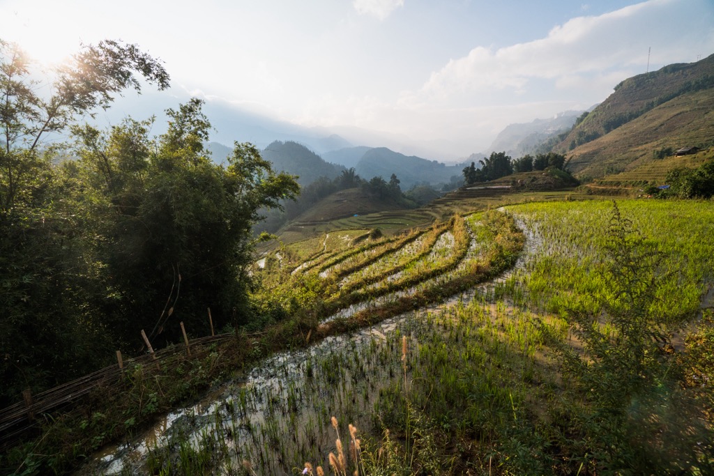
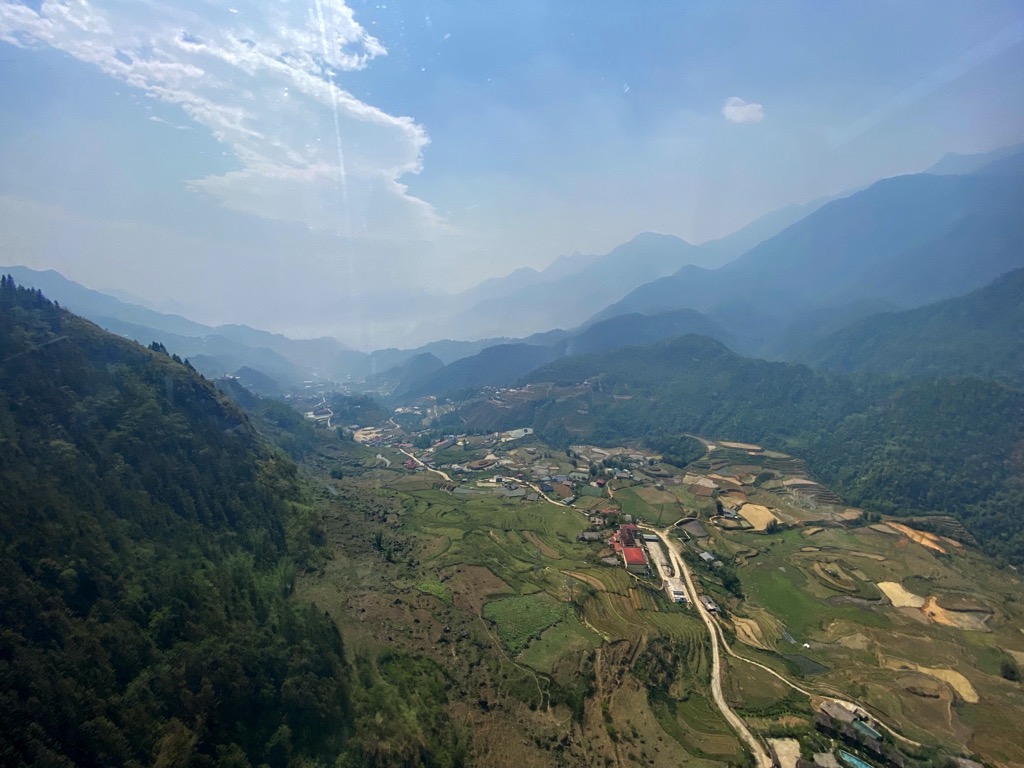
Over time, the region became a cultural crossroads, attracting diverse ethnic groups who found refuge and livelihood in its valleys and slopes. Among the earliest inhabitants were the Hmong and Dao people, who migrated from southern China. These groups developed intricate irrigation systems to cultivate rice terraces on steep slopes. Today, these rice terraces are a common sight around Sa Pa and the other villages bordering the national park.
The late 19th century marked a turning point in the region's history with the arrival of colonizers from France. Recognizing the area's strategic importance, fertile land, and climate, the French established hill stations like Sa Pa, transforming them into a retreat for colonial administrators and a center for agricultural experimentation. The French influence left a lasting mark on the region's architecture, cuisine, and infrastructure.
The 20th century saw the beginning of decades of war in Vietnam, first perpetuated by the French and later by the United States. The majority of the fighting in the Vietnam War took place in the south, however, and the most significant engagement in the region around Hoàng Liên actually came in 1979, during the Sino-Vietnamese War.
Known as the Battle of Lào Cai, this three-week engagement in February and March of 1979 saw Chinese forces bombard Lào Cai and Sa Pa, eventually overrunning both. However, the Chinese government renounced their withdrawal from Vietnam (and the end of the war) shortly after capturing Lào Cai. There were an estimated 12,000 casualties on either side.
In the post-war period, the Vietnamese government ramped up programs to improve infrastructure and promote tourism, recognizing the Hoàng Liên region’s potential as a natural and cultural destination. This push eventually led to the establishment of Hoàng Liên National Park in 2002.
Although Vietnam is rapidly developing, Hmong, Dao, Tay, and Giay ethnic groups continue to practice their traditions around Hoàng Liên today. The region's present economy relies on a mix of agriculture, tourism, and handicrafts, with trekking or taking the cable car to Fansipan being a draw for tourists from around the world.
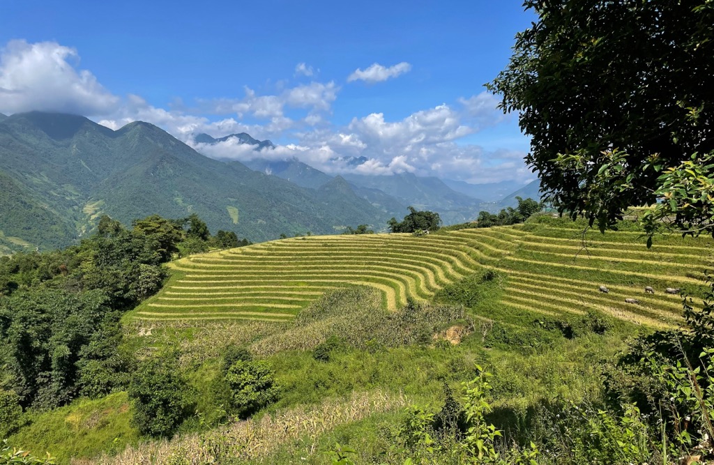
Overwhelmingly, the most popular hiking objective in Hoàng Liên National Park is Phan Xi Păng (3,143 m / 10,312 ft), more commonly known as Fansipan. There are a number of ways to reach the top (including simply taking a cable car from the Sun World Park), but the standard hiking route is 9 kilometers (5.7 mi) out and back from the Trạm Tôn Ranger station and entails 1,345 meters (4,412 ft) of elevation gain.
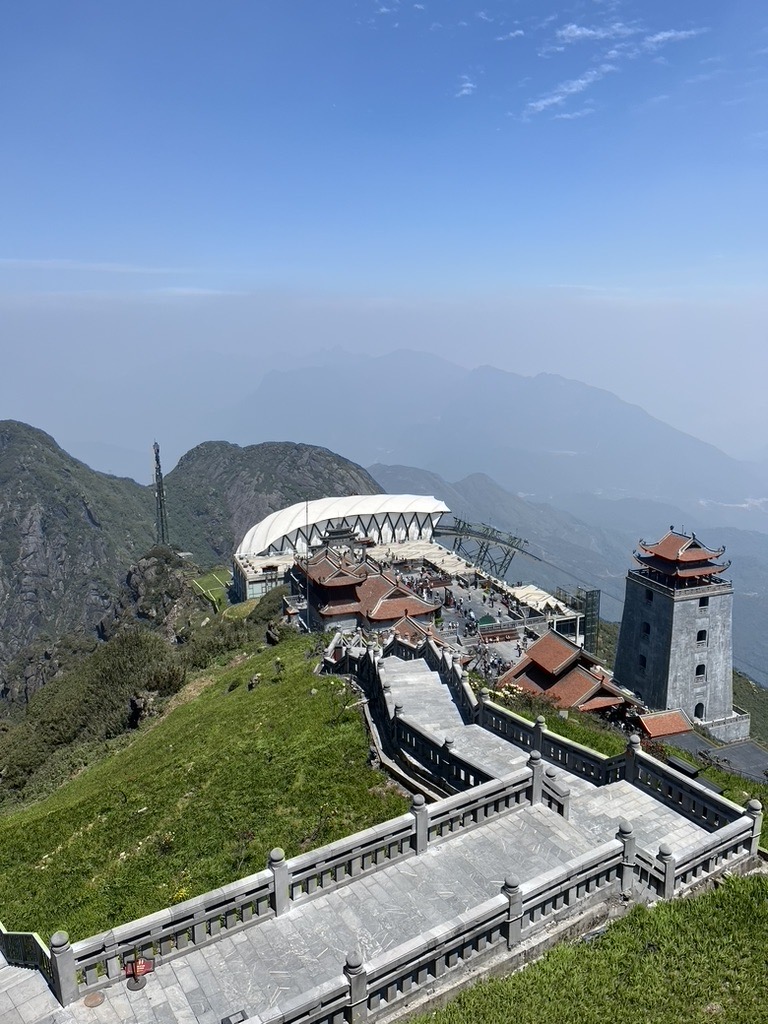
The hike is relatively straightforward, with a well-defined trail and little room for error, but the rangers at this station are corrupt and aggressive and will attempt to force tourists to pay for nebulous “permits” and a “guide” for the climb.
These prices vary widely, from 500,000 VND ($20) up to 7,500,000 VND ($294) or more, depending on how lucky you are (and how well you haggle). They are essentially just a blatant bribe, with some hikers reporting that their “guide” even abandoned them midway through the climb after receiving the money.
NOTE: This author was on Fansipan twice in April 2024. One time, I was able to begin hiking without issue. On another occasion, I was met by extremely combative rangers, who made it impossible to attempt the hike and demanded outrageous bribes masked as “fees,” which ranged wildly in number (and nowhere are documented for trekkers to view). When I questioned them about the specific nature of the fees and the laws requiring them, they were unable to provide a clear answer.
I suggest hiring a local guide for the climb in Sapa instead of showing up on your own and dealing with the rangers at the Trạm Tôn pass. If you don’t want to use a guide, climb the peak via another, longer route, such as those beginning from the villages Sin Chai or Cat Cat.
This short hike begins from the same trailhead as the Fansipan summit trail, but unlike Fansipan, the rangers won’t harass you about hiking this one. Depending on who’s operating the booth, you may have to pay 30,000 VND (barely more than $1).
It’s only 2.1 kilometers (1.9 mi) across a few small meadows to a rocky stream bed that leads uphill to a small waterfall, where many visitors often lay out towels and sunbathe or swim. Trash is an issue here, so please pack your trash out and avoid using the poorly maintained trash receptacles inside the park.
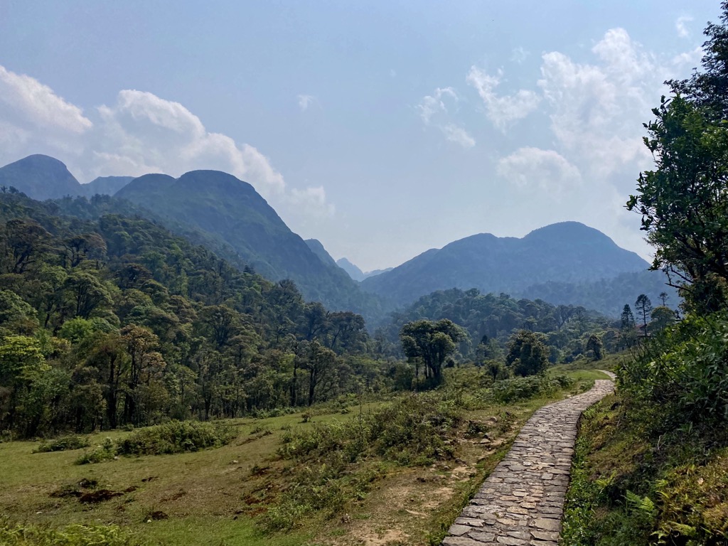
Tracking for six kilometers (3.7 mi) around Tà Van, this pristine loop takes hikers through steep valleys, rice paddies, and a dense bamboo forest. Avoid hiking this trail after the rain, as it can be quite muddy and washed out in portions.
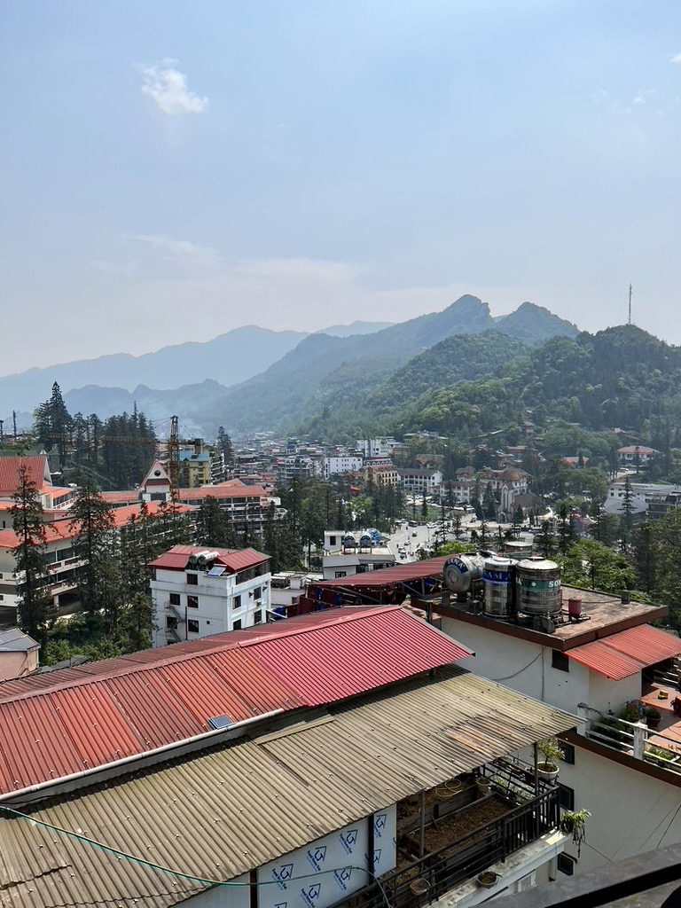
The town of Sa Pa (or Sapa), home to around 10,000, is a tourist hub a stone’s throw from Hoàng Liên National Park and one of Vietnam’s hotspots for outdoor adventure. In addition to the hikes mentioned above, head up to the charming Cat Cat Village, a short hike into the hills south of the town, or stroll around town to see the Nhà Thờ Đá Sapa cathedral or the lake bordering the town square.
It’s very easy to find a hotel in Sapa, but I stayed at the Sapa House Hotel earlier this year, and I strongly recommend it for its blend of value, location, and decent amenities. The staff were extremely kind.
If you aren’t planning to hike Fansipan—or don’t want to deal with the sketchy rangers—you can also reach the mountain summit by cable car at Sun World Fansipan Legend. A round-trip ticket costs around $30 USD.
Hanoi (pop. 8.5 million) is the capital of Vietnam and the closest major city to Hoàng Liên National Park (around six or seven hours of driving by private car or motorbike, or an overnight bus ride).
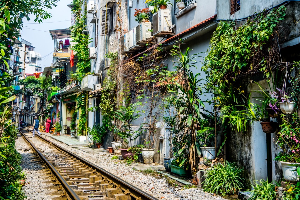
The bustling Old Quarter features a maze of narrow streets lined with shops, cafes, and street food stalls. Hoàn Kiếm Lake is a serene oasis in the heart of the city. The Ngọc Sơn Temple, perched on a small island, showcases the preserved body of a legendary Hoàn Kiếm turtle, now extinct. Visitors can delve into the city's past at the Temple of Literature, a revered Confucian temple, and the Hoa Lo Prison, a sobering reminder of Vietnam's wartime history. Day trips or overnight cruises on the picturesque Ha Long Bay are an option, though these cruises can be expensive.
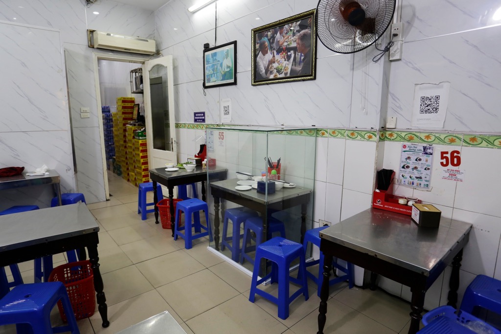
Don’t miss Bún Chả Hương Liên, the world-famous dive where U.S. President Barack Obama dined with Anthony Bourdain in 2016, and check out the “Train Street” where trains whiz by just a few feet from intimate coffee parlors and pho cafes. All in all, there’s plenty to do in Hanoi. You could spend weeks here and still uncover new sights every day.
Explore Hoàng Liên National Park with the PeakVisor 3D Map and identify its summits.

