Scan the QR code and open PeakVisor on your phone
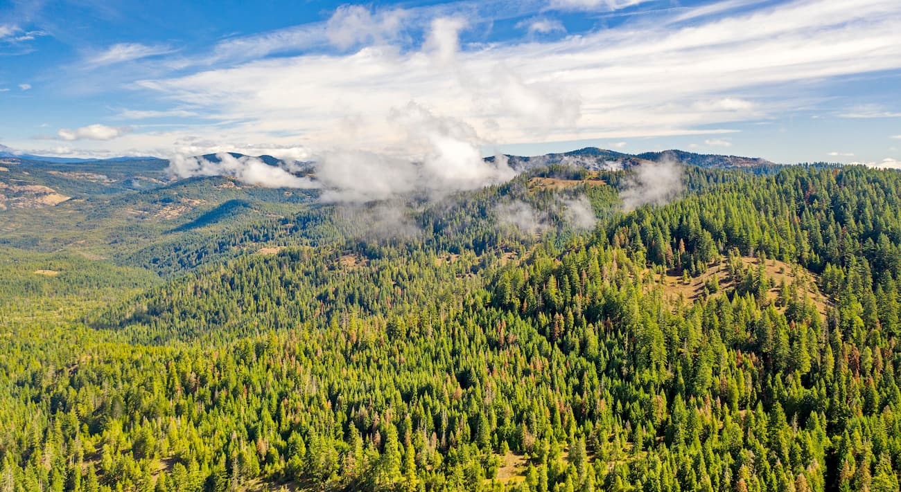
The Cascade-Siskiyou National Monument sits at the junction of the Cascade Range and the Siskiyou Mountains in southwestern Oregon and northwestern California. The national monument spans 114,000 acres protecting the surrounding forests and grasslands. The region was established in 2000 by President Bill Clinton and further expanded by President Barack Obama in 2017. The expansion of the Cascade-Siskiyou National Monument added 48,000 acres, 43,000 of which were in Oregon.
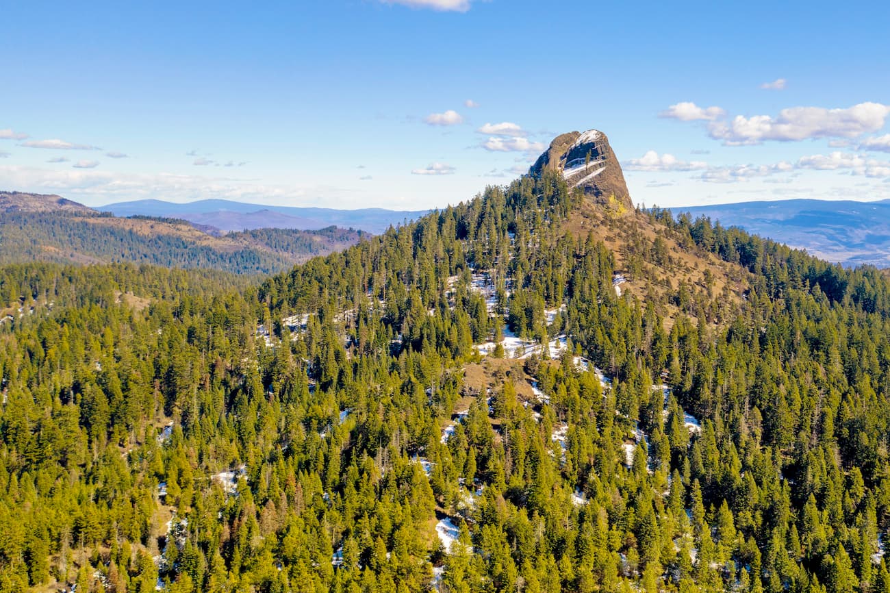
There are 10 named mountains in Cascade-Siskiyou National Monument. The highest and the most prominent mountain is Soda Mountain at 6,093 feet. From the top of Soda Mountain sits a fire lookout tower that offers unobstructed views of the region. From the top, hikers can see Mount Shasta, Mount Ashland, Mount McLoughlin, and the rim of Crater Lake. The scenic Pacific Crest Trail passes through the monument for over 30 miles traveling north to south.
The national monument is the first U.S. national monument that was established solely to preserve biodiversity. The region is home to over two hundred species of birds, some of which are threatened or endangered. The Cascade-Siskiyou National Monument has one of the most diverse ecosystems found in the entire Cascade Range.

Hobart Bluff trail is one of the most popular and accessible hikes in the monument. Located just outside of the city of Ashland, this hike totals 2.5 miles with just 413 feet of elevation gain. The trail starts by winding through the forest before clearing near the top of Hobart Bluff. From the peak hikers experience panoramic views of Mount Ashland, Pilot Rock, Mount McCloughin and Rogue Valley facing north.
As the tallest peak in the Cascade-Siskiyou National Monument, Soda Mountain offers incredible views of the surrounding wilderness. The hike will take you along the Pacific Crest Trail before climbing to peak. The out and back route totals 3.8 miles with 900 feet of elevation gain. The mountain offers multiple variations of the hike to increase the distance if wanted. The fire lookout at the top allows hikers to view Mount McCoughlin to the north while Mount Shasta sits to the south.
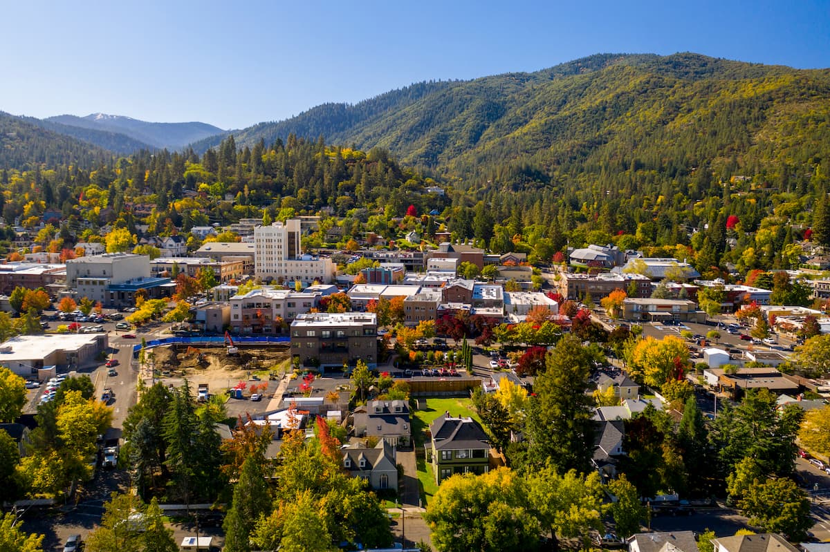
Ashland, Oregon is a city located in Southern Oregon with a population of around 21,000. The small city is known for being home to the Oregon Shakespeare Festival. The town is known for being very liberal, a sharp contrast to much of southern Oregon. Many of the city’s historical buildings have been preserved which give the downtown a quaint setting. Ashland is the perfect place to stay after a long hike in the mountains and is ideal for grabbing a bite to eat or check out a local gallery. The nearby city of Medford also has ample housing with close proximity to the surrounding mountain trails.
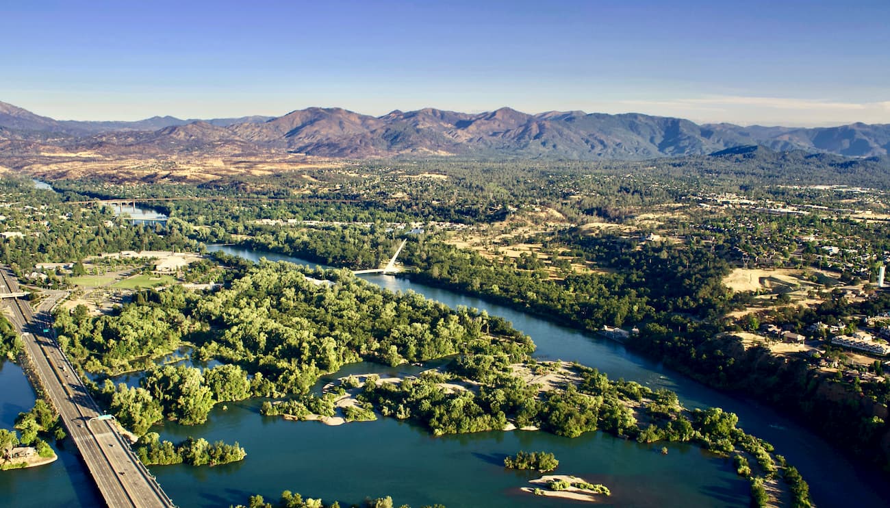
Just two hours south of the Cascade-Siskiyou National Monument sits Redding, California. The city sits along the Sacramento River and is just 15 miles south of Shasta Lake. The city’s population is just over 90,000 and is at the very northwestern end of the Central Valley. Redding is surrounded by mountains to the north, east and west. The Market Center located downtown is the perfect place to explore the city and grab a bite to eat after a long day of hiking.
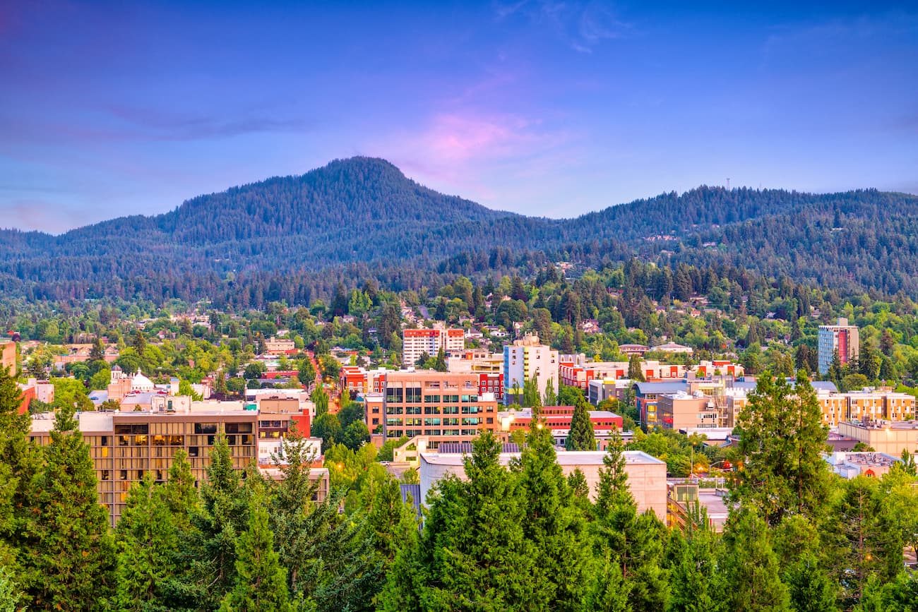
Known as “Track Town, USA”, Eugene is a runner’s paradise. With a population of nearly 200,000, the city is the largest within central Oregon. The city is located two hours south of Portland, and just one hour south of Salem, Oregon’s state capitol. The town is known for its focus on environmentalism and abundance of recreation activities including biking, hiking, rafting, and of course, running. Eugene is also where the Nike corporation began. Be sure to check out the Lane County Farmers’ Market or grab a bite to eat at one of the many local restaurants.