Get PeakVisor App
Sign In
Search by GPS coordinates
- Latitude
- ° ' ''
- Longitude
- ° ' ''
- Units of Length

Yes
Cancel
❤ Wishlist ×
Choose
Delete
Canaima National Park covers three million hectares (7.3 million acres) in the Bolívar state of southeastern Venezuela near the border with Brazil and Guyana. There are 103 named peaks within the park. At 2,810 m (9,219 ft), Monte Roraima is the park’s tallest and most prominent (2,341 m/ 7,680 ft) mountain. One of the park’s most notable features is Angel Falls, the highest continuous waterfall in the world.
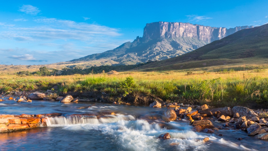
Canaima National Park in Venezuela’s southeastern state of Bolívar encompasses three million hectares (7.3 million acres) of highland savanna, moist forest, and the sheer cliffs and plateau summits of tepuis. Tepuis are flat-topped, stand-alone mountain formations that comprise around 65% of the park’s landscape. They are some of South America’s oldest rock formations.
Angel Falls is the world’s highest continuous waterfall (979 m / 3,211 ft) and cascades from Auyán Tepui (2,500 m / 8,202 ft). The waterfall has an initial drop of 807 m (2,648 ft), then a sloping run of 400 m (1,300 ft) before a second drop of 30 m (98 ft). The Pemon, an indigenous group that has called the region home for several centuries, refer to the falls as “the waterfall of the deepest place” or “the fall from the highest point” in their local language.
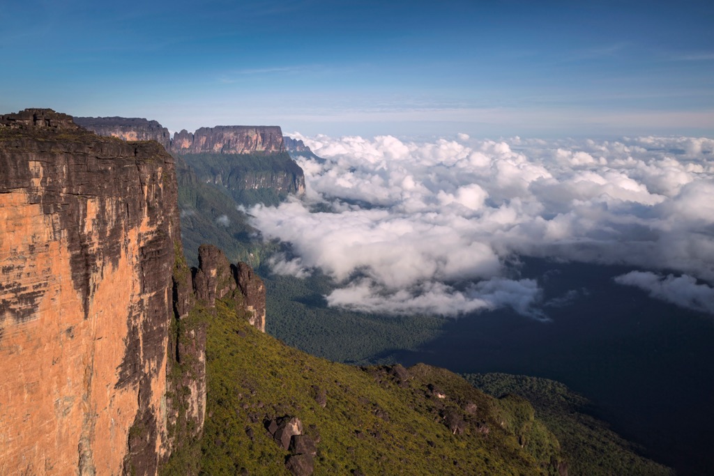
Canaima National Park is Venezuela’s second-largest national park and lies near the border with Brazil and Guyana. The park's elevation ranges from 450 to 2,810 m (1,475 to 9,219 ft). The park contains the headwaters of the Caroní River, which feeds Guri, an enormous hydroelectric power station that provides electricity to more than half of the country.
The park was established in 1962, expanded in 1975, and declared a UNESCO World Heritage Site in 1994.
Canaima National Park lies between the Orinoco and Amazon basins in the Guyana Shield Highland region. The remarkable tepuis are geologically similar to the western Sahara in Africa and Monument Valley in Arizona, USA. These sandstone formations date back to the Precambrian age 150 to 200 million years ago.
The park boasts more than 30 tepuis; their summits are scored by gullies, canyons, and sinkholes – some up to several hundred meters deep. These tepuis are the oldest exposed rocks in South America and remain from the Roraima formation. The Precambrian sandstone is multicolored and forms a 2,500 m (8,200 ft) thick layer over the older gneiss and granite basement rocks of the Guiana Shield.
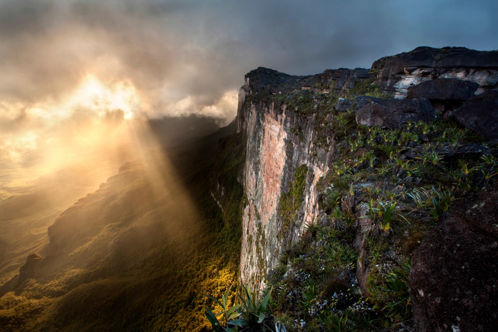
Within the sandstone layers are quartzite intrusions, layers of claystone, conglomerate, and dykes of diorite from the Mesozoic era. Tectonic movements initially split the sandstone and eroded it for 220 million years. Around 180 million years ago, the formations began to separate into stand-alone summits, which produced today's tepuis.
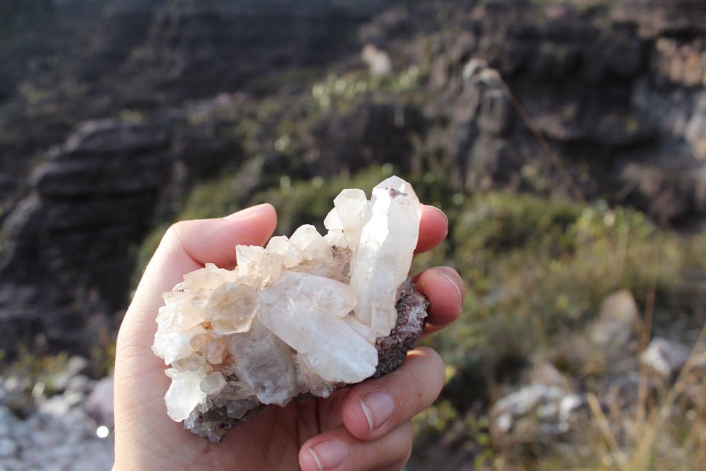
The upland soils are acidic, nutrient-poor, and highly weathered. Lowland soils are richer, particularly along waterways. Quartz near Sapito Falls gives the water a distinct red color and colors the pink sand at Canaima Lagoon Beach.
One of the threats to the park is illegal mining. The park is in the Orinoco Mining Arc, spanning the Venezuelan states of Amazonas, Bolivar, and Delta Amacuro. Mines in the region produce bauxite for aluminum, coltan for electronics, quartz, iron ore, granite, industrial diamonds, and gold.
Mercury is often used in gold mining and has been found in Canaima’s rivers. Sediment laden with mercury flows from the Caroní River into the Guri hydroelectric dam and has caused damage to some of the turbines and sluice gates.
Canaima National Park has a temperate climate with a rainy season between June and September, although it can also rain outside this window. The zone receives 200 to 400 cm (79 to 157 in) of rain annually. The park contains three distinct ecoregions – the highland Guyana savanna, the highland Guyana moist forest, and the pantepui of the flat-topped mountains at over 1,500 m (4,920 ft).
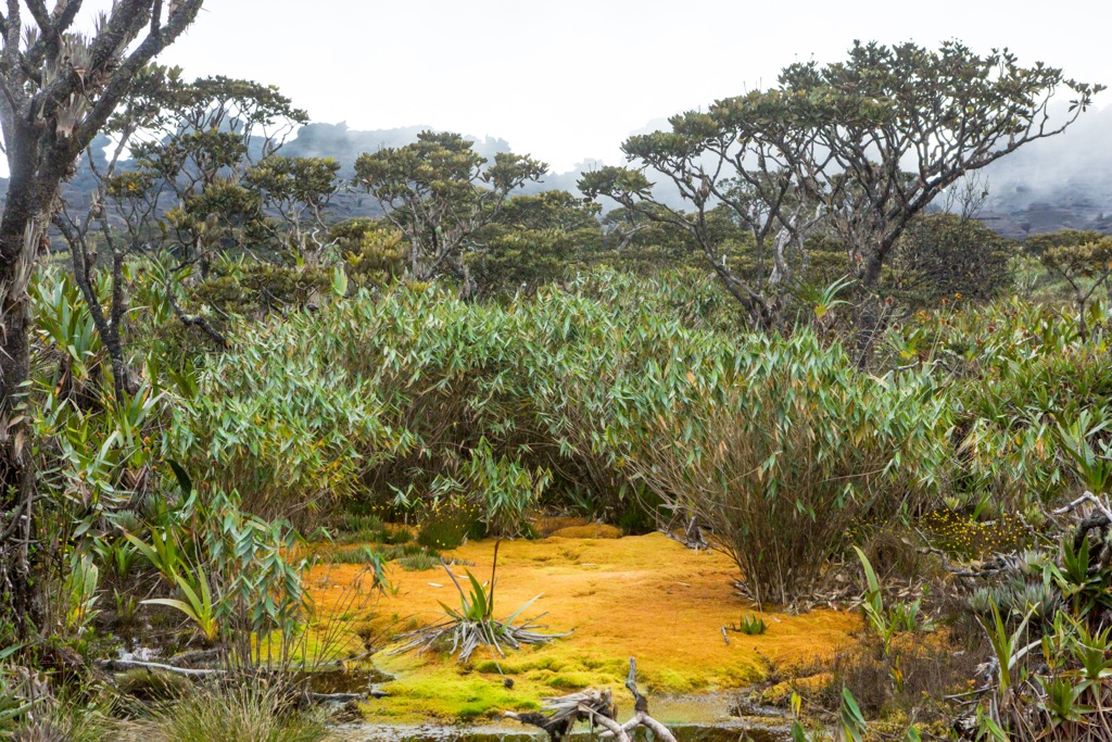
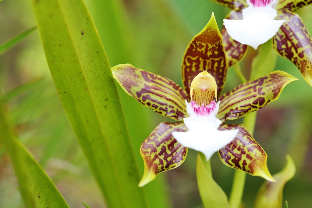
The savanna (called the Gran Sabana in Spanish) is a plant refuge from the Pleistocene era. Along with the isolated summits of the tepuis, it has preserved high levels of plant endemism. In addition to its endemic species, the park is known for its orchid diversity, with around 500 species recorded and much of the park still unsurveyed.
The use of fire for land management during prehistoric times shaped the savanna development on infertile soils. Poor and sandy soils in this ecoregion support bunchgrass species such as crickleawn grass (Trachypogon plumosus) and Axonopus pruinosus. Damp and more nutrient-dense soil supports bush savannas containing Stegolepis ptaritepuiensis, S. guianensis, and Brocchinia steyermarkii.
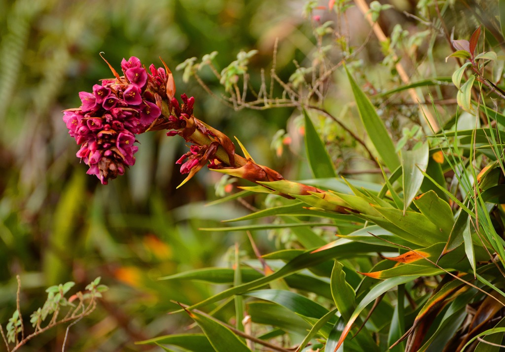
The moist forest supports dense submontane and montane evergreen forests with some patches of scrub savanna. Common forest species include cashews (Anacardium), Manilkara, Protium heptaphyllum, Inga, Parkia, Copaifera, Erythrina, and Dipteryx.
The plains support trees such as Micropholis melinoniana, Dacroydes, Euterpe precatoria, and Quassia cedron. Along rivers, forest types occur similarly to the flooded forests of Amazonia. These support high numbers of trees from the families Lauraceae, Magnoliaceae, Elaeocarpaceae, Rubiaceae, and Myrtacea.
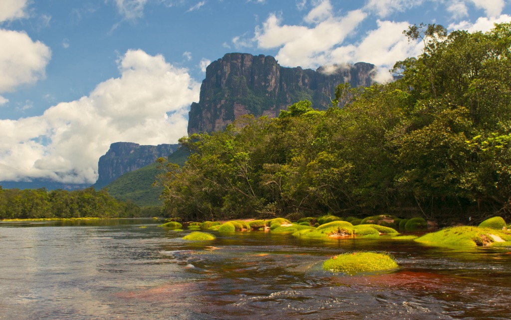
Four zones exist in the tepui ecoregion – base, talus slope, cliff foot, and summit. The base zone occurs below 500 m (1,640 ft) and is typically rainforest. Over 500 m (1,640 ft), talus slopes support montane forest with the genera Glusia, Monorovea, Miconia, Graffenrieda, Magnolia, Myrcia, Drimys, and Viburnum. Tropical Ericaceae and ferns are common.
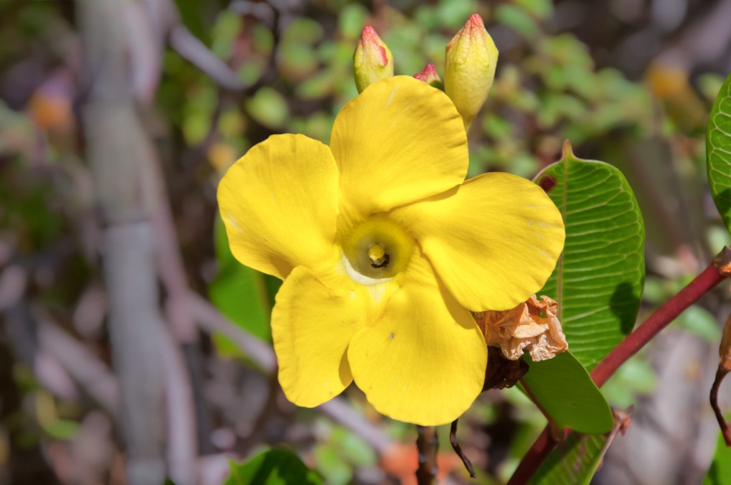
Only species that do well in bare sandstone grow at the foot of escarpments. This includes species from the Bromeliaceae pineapple family like Cottendorfia, Navia, and Brocchinia.
Due to the isolated nature of the summits, many species are endemic to specific tepuis and there are notably high levels of carnivory in flora on the summits.
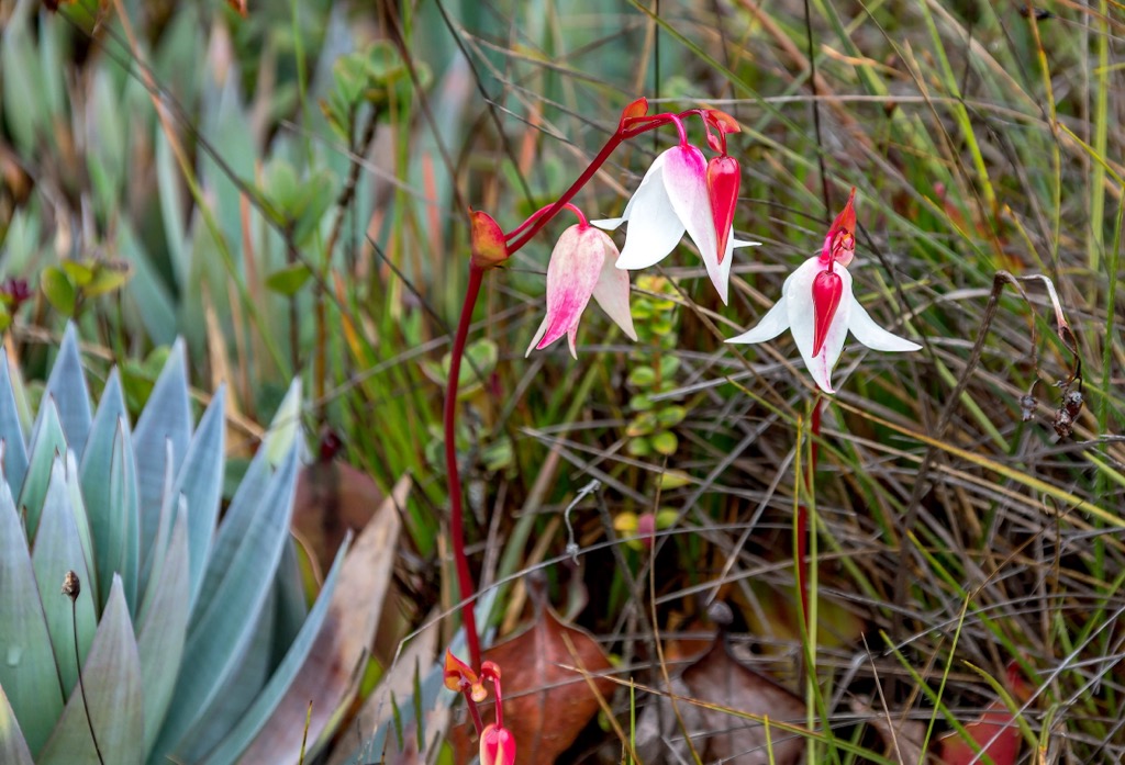
The park supports an array of species, including 145 mammals in the moist forest and more than 185 mammals in the tepui. Mammal species in the park include giant armadillos, giant otters, two-toed sloths, giant anteaters, peccaries, deer, capybara, tapirs, monkeys, ocelots, opossums, agoutis, foxes, weasels, guinea pigs, and elusive cougars and jaguars.
There are also numerous bird species, including northern migratory birds that winter in the park. Birds of the savanna include the harpy eagle (the largest raptor in South America), the savanna hawk, the red-shouldered macaw, the painted parakeet, and migratory species such as the spotted sandpiper, barn swallow, and blackpoll warbler.
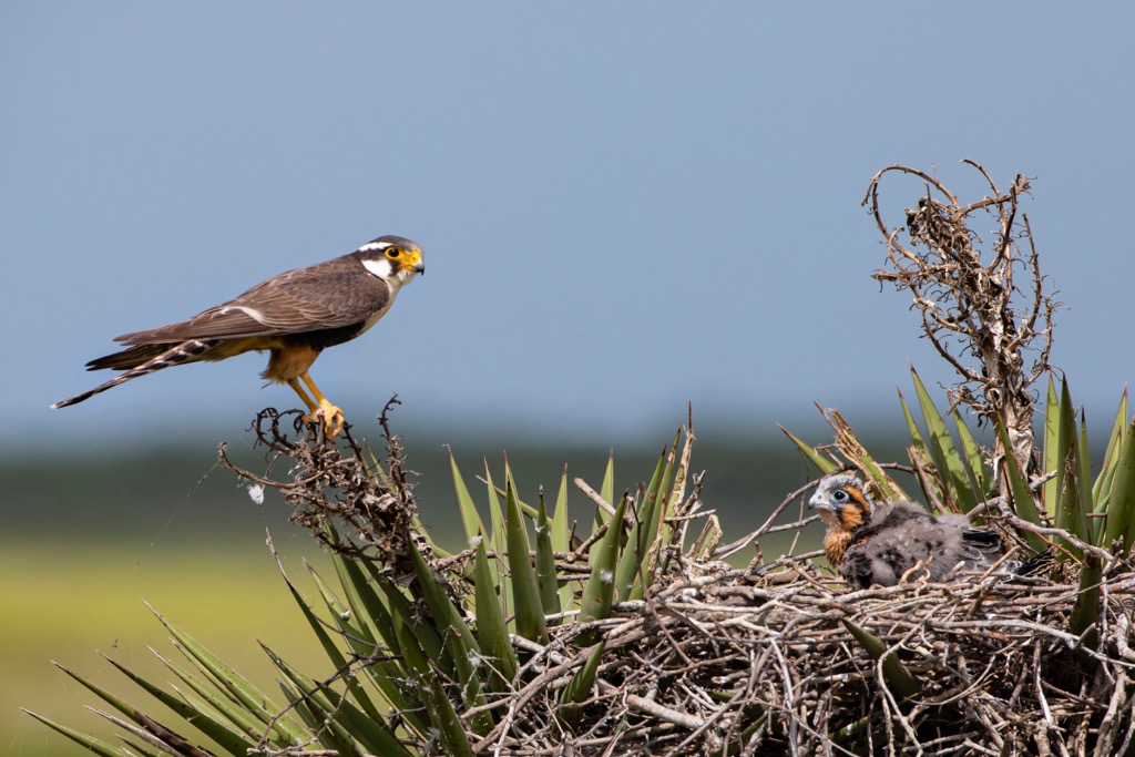
The moist forests house aplomado falcons, brown-throated parakeets, vermiculated screech owls, orange-crowned orioles, and several hummingbirds. The tepui swift, tepui goldenthroat, and tepui wren are several bird species endemic to the Guiana highlands.
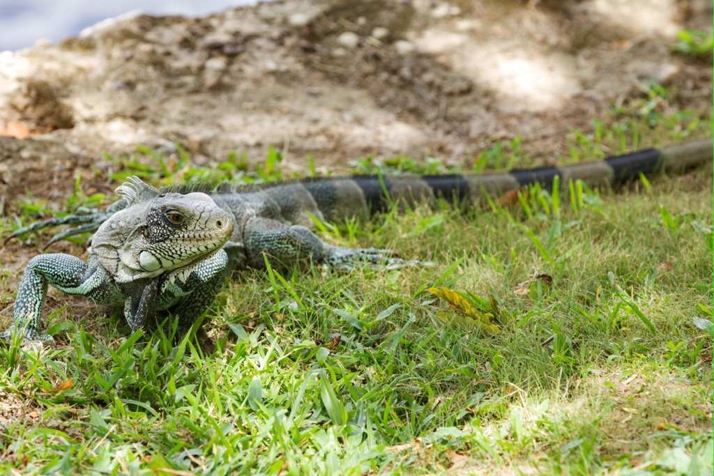
Dozens of amphibians and reptiles live throughout the park. Iguanas and tegus lizards are common. Among the endemic species from the region are toads from the genus Oreophrynella, the Tepuihyla genus of white-lipped frogs, and the Riolama genus of lizards. There are several snakes to watch out for in the park – the fer-de-lance, coral snake, boa constrictor, palm pit-viper, and bushmaster.
The area around Canaima National Park has supported human communities for the last 10,000 years. Two archeological sites within the park have revealed stone tools that date back 9,000 years. The extensive savanna ecoregion was created by the prehistoric use of fire as a land management technique.
For several centuries, the park territory has been home to the Pemon tribes, an Amerindian group from the Carib family.
The park currently supports about 12,000 Pemon inhabitants who live in dispersed river communities ranging from 40 to 300 in size. They tend to practice slash-and-burn agriculture, hunting-gathering, trading, mining, and participating in tourism for additional income. To the Pemon, tepuis represent the sacred homes of guardian spirits of the savanna.
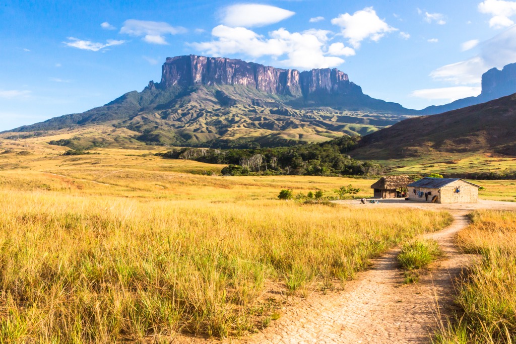
Capuchin missionaries showed up to evangelize the region beginning in the 18th century. The park was established in 1962, expanded in 1975, and became a UNESCO World Heritage Site in 1994.
It’s best to visit Canaima National Park in October and November. These months fall at the end of the rainy season, which means there is less chance of rain, but water levels are still high for easy river transportation and impressive waterfall views.
There are no tours to Angel Falls during the dry season from January to May. Heavy rains in late summer mean there is a high chance that clouds will obscure your views. The park requires all visitors to be accompanied by a guide.
If you only have time for a quick visit to the park, Angel Falls should be top of the list. Best done in a two-day, one-night trip, the journey to the world’s tallest waterfall takes you by canoe or motorboat along the park’s rivers to the base of the falls with a swimming spot. Stay overnight near the falls and return the following day.
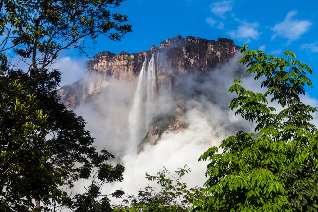
Angel Falls cascades off of Auyan Tepui. Those looking for a multi-day adventure can arrange treks up Auyan Tepui; they take around eight or nine days and require a guide and porters.
Mount Roraima is the tallest tepui in the national park and South America. The plateau summit is 12 sq mi (31 sq km), and the surrounding cliffs are 395+ m (1,300+ ft). Hiking to the summit is a multi-day trip ranging from four to eight days.
To begin the journey, one typically takes a bus from Santa Elena or San Francisco de Yurani to Paraitepui, the village at the base of the tepui. No one is allowed to enter the park at this point after 2 p.m. as the first campsite is five hours away, and the park wants to ensure that all hikers have time to reach it.
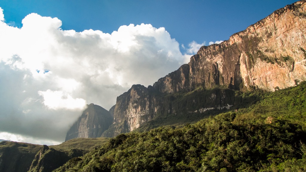
Those looking for a scenic spot with fewer people will enjoy El Sapo waterfall. There is a scenic trail to the falls, and venturing behind the actual cascade is possible. Enjoy a dip in the lagoon before heading out.
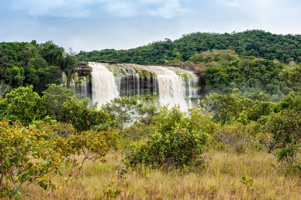
Flying from Ciudad Bolivar or Puerto Ordaz is the most common way to visit Canaima. You’ll be required to pay a small entrance fee when arriving at the Canaima airport. You will also be asked to show your Yellow Fever vaccination card. Receiving a vaccination at the airport is possible if you don’t already have one.
Another option is to take the bus to Santa Elena to enter the park. Santa Elena is a small town offering basic accommodation and dining options.
The park features lodges and cultural villages for overnight stays. Kavac Village is a Pemon camp in the Valley of Karamata that offers accommodation and the opportunity to learn about their indigenous way of life.
Ciudad Bolívar has just under 410,000 people and served as an important colonial town for trading agricultural goods with Europe. The city sits at the highest navigable point on the Orinoco River and was formerly known as Angostura, meaning narrow in Spanish, as the river narrows here.
The famous Latin American liberator Simon Bolivar rested here after several defeats in his campaign for Venezuela’s independence.
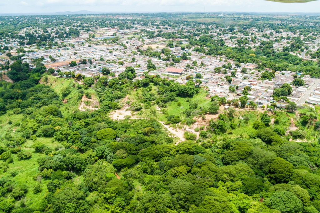
While you’re passing through, visit the Jesus Soto Museum to experience one of Venezuela’s contemporary kinetic artists, stop by the Botanical Gardens to learn more about the diverse flora of the region, or look for one of the music festivals that happen throughout the year ranging in genre from ancestral to contemporary.
The city offers a range of accommodation from budget to luxury hotels. Be sure to sample local cuisines – there are many options with fish and cassava, as well as arepas and caraotas.
Puerto Ordaz, also known as Ciudad Guayana, is home to over 875,000 people. The city rose to prominence in the 1900s as the commercial center of eastern Venezuela.
While in town, go to the Rio Caroni to admire where the black waters coming from the Great Savanna mix with the Orinoco’s brown waters flowing from the Andes and the Amazon. Visit the Cachamay and Llovizna Falls or the nearby Macagua Dam and Ecomuseo de Caróni – a gallery with photographs of building the dam and pre-Hispanic ceramics discovered during its construction.
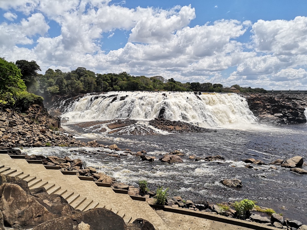
You’ll find a selection of accommodation options in the city and dining options ranging from incredible street food to upscale restaurants.
Explore Canaima National Park with the PeakVisor 3D Map and identify its summits.


