Get PeakVisor App
Sign In
Search by GPS coordinates
- Latitude
- ° ' ''
- Longitude
- ° ' ''
- Units of Length

Yes
Cancel
❤ Wishlist ×
Choose
Delete
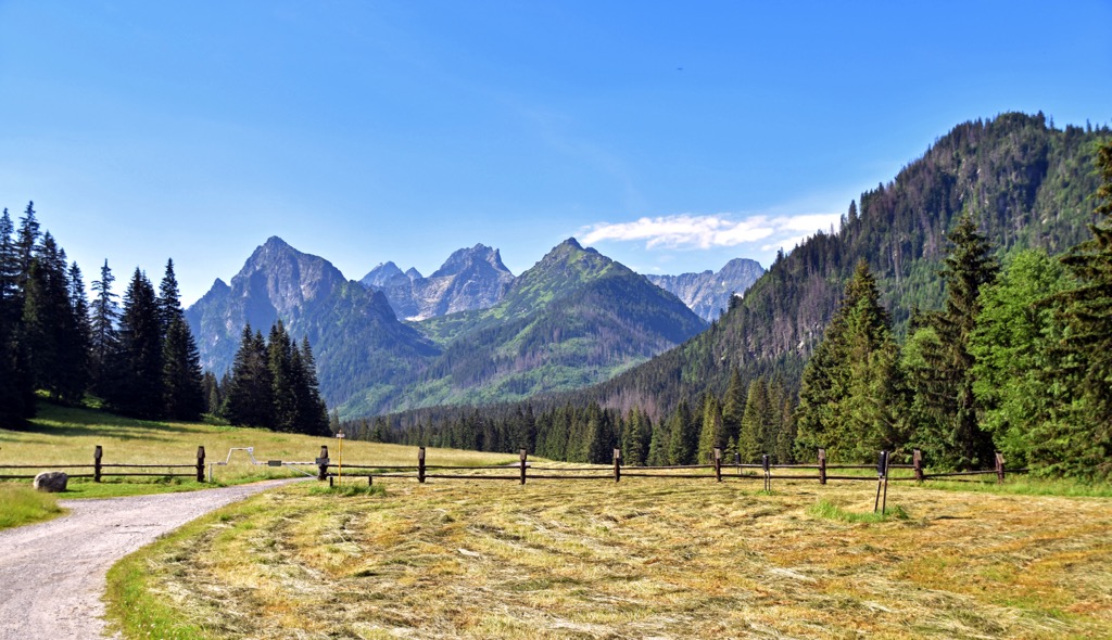
Bielovodská Dolina, or the Whitewater Valley in English, is one of the most picturesque and pristine valleys in the High Tatras of Slovakia. It’s a glacial valley that stretches over 10 kilometers (6 mi) and is known for its steep mountainsides, cascading waterfalls, and dense spruce and pine forests. The valley is a haven for wildlife, providing a habitat for species such as Tatra chamois, marmots, and the elusive Tatra bear, of which 1,500 individuals remain. Hiking trails through Bielovodská Dolina lead to stunning viewpoints and alpine meadows. There are 66 named mountains in Bielovodská dolina. Zadný Gerlach (2,616 m / 8,583ft) is the highest point. The most prominent mountain is Vysoká (2,547 m / 8,356 ft).
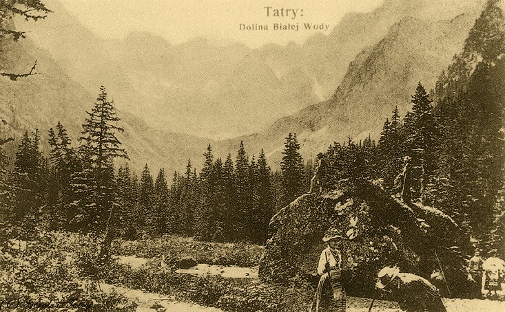
Bielovodská Dolina (English: Whitewater Valley, Polish: Dolina Białej Wody) is a valley in the Tatra Mountains, stretching over 10 km (6 mi). The Tatras, a subgroup of the Carpathians, form a natural border between Slovakia and Poland and are protected as national parks on both sides.
The valley marks part of the Slovak-Polish border. The village of Lysá Poľana, at the valley's entrance, serves as an official border checkpoint. The Tatra National Park lodge sits farther up along the valley.
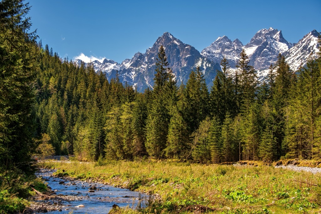
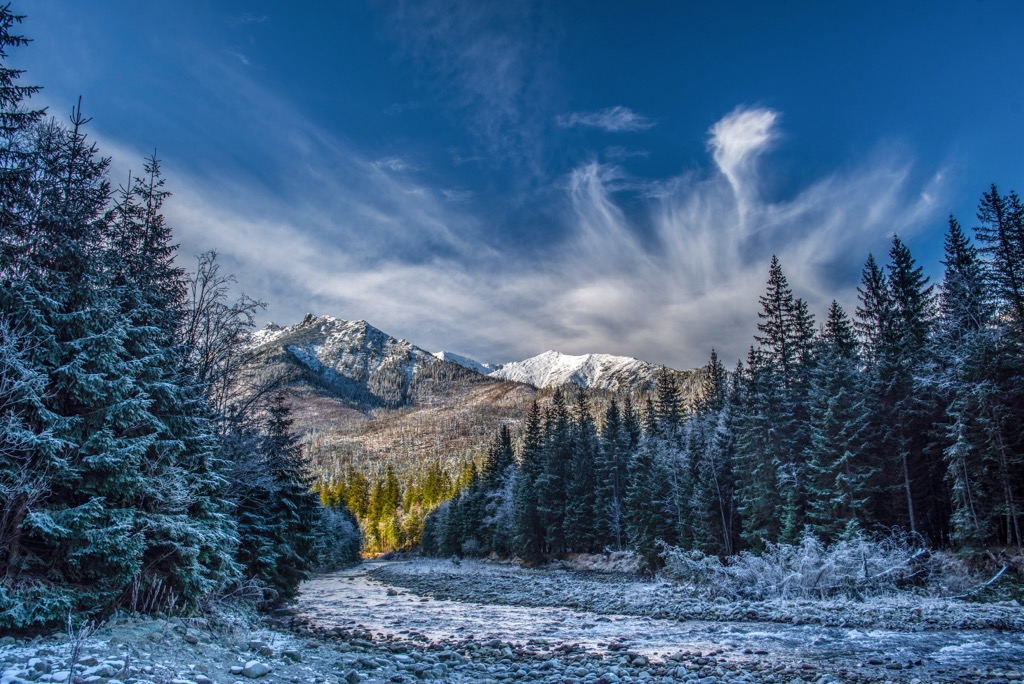
Biela Voda flows through the valley on the north side of the Slovakian Vysoké Tatry (English: High Tatras). The lower valley is forested, while the upper part forms a vast alpine amphitheater amongst the surrounding peaks.
The upper part is characterized by several side valleys, including Žabia Dolina, Česká Dolina, Kačacia Dolina with Gerlachovské spády and Litvorová Kotlina. The Javorinská Široká mountain range borders it to the east, and the state border to the west, further up the ridge to the peak of Rysy.

The Tatras are a mountain range characterized by rugged terrain. Formed during the Alpine orogeny, they’re relatively young in geological terms. Despite being smaller than the Alps, they share a similar landscape. The Tatric geological unit, forming the core of these mountains, primarily consists of Hercynian metamorphic and igneous rocks with some sedimentary layers. During the last ice age, a massive glacier, 13 km (8.1 mi) long and 280 m (919 ft) thick, sculpted Bielovodská Dolina.
The valley’s upper reaches feature dramatic cliffs and hanging valleys dotted with numerous small lakes. The high peaks of the Tatras tower high above, while notable waterfalls, such as Hviezdoslavov vodopád and Ťažký vodopád, cascade down cliffs.
Biela voda (Biała Woda) is the principal stream in the valley, fed by tributaries like Tísovka, Litvorový potok, Rovienkovy potok, Žabí potok, and Ťažký potok. While the main valley lacks lakes, numerous glacial lakes are found higher up in the side valleys, including Nižné Bielovodské Žabie, Rovienkove, and Hrubé.
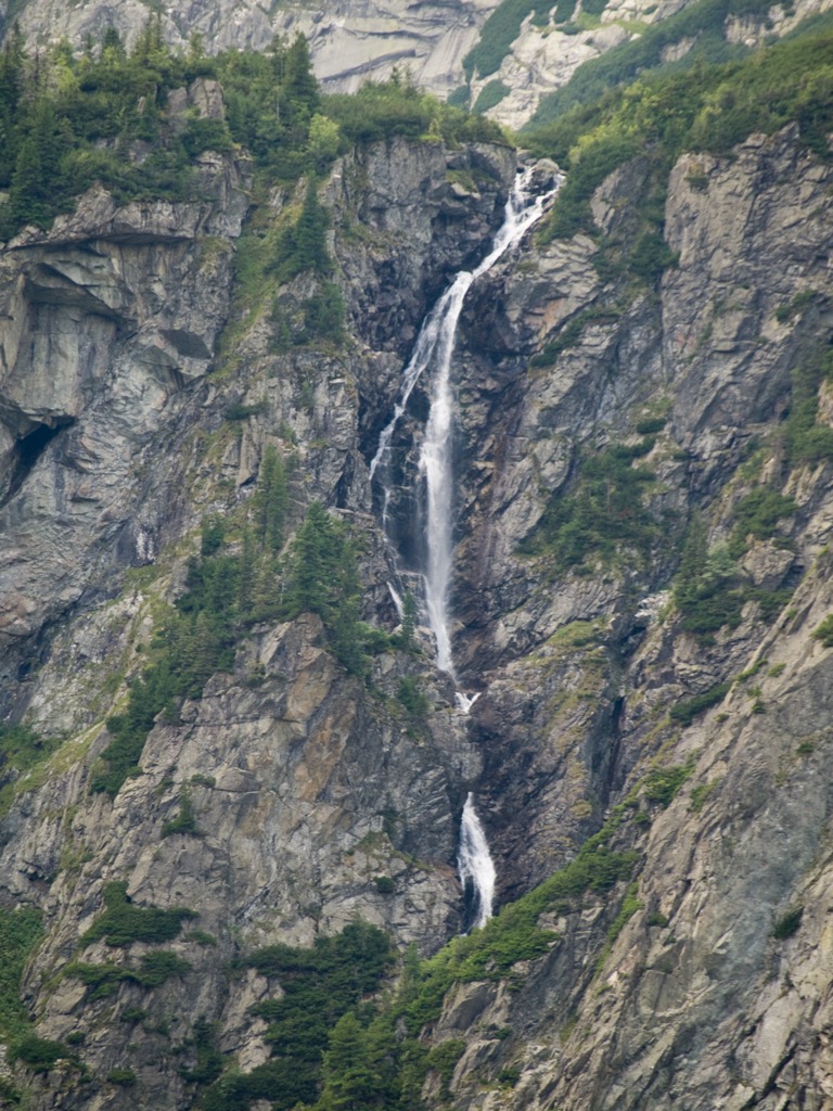
The Tatras are home to over 1,300 plant species spread across different vegetation zones, from mixed and coniferous forests to dwarf pine and alpine meadows, with sparse vegetation at the highest elevations.
About two-thirds of the Tatras are covered by forests, with tree species including Norway spruce, silver fir, European larch, mountain pine, and birch.
Despite being a small mountain range, the Tatras have 37 endemic plant species. Alpine meadows are exceptionally diverse, with about 300 plant species. Around 40 plant species can survive above 2,600 m (8,530 ft).
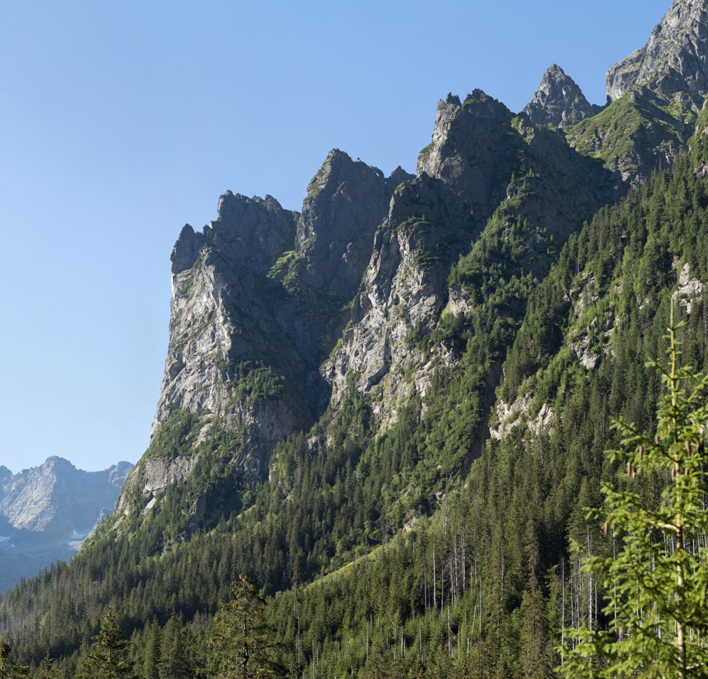
Many alpine species are considered glacial relicts, including Ranunculus alpestris, Ranunculus glacialis, and Primula minima. The Tatra Mountains are known for large predators such as the wildcat, lynx, wolf, and Tatra bear (brown bear), which are rare in other parts of Central Europe.
Notable bird species include the golden eagle, Eurasian eagle-owl, western capercaillie, and black grouse. The Tatras also have an endemic subspecies of chamois, Rupicapra rupicapra tatrica.
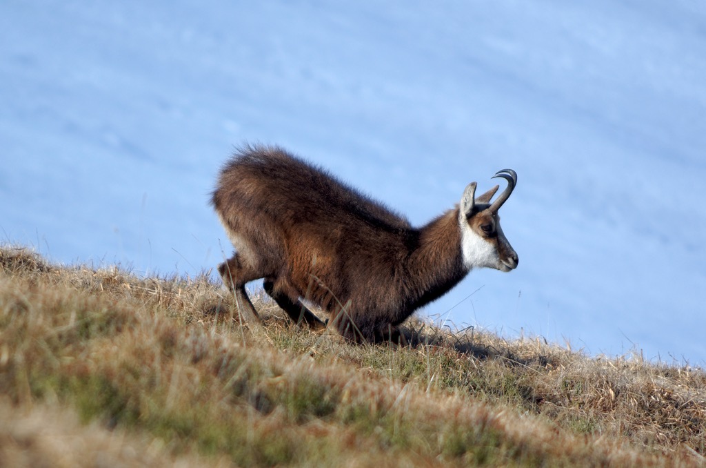
Bielovodska Dolina’s name comes from the stream Biela Voda, named for the white granite stones in its bed.
In the thirteenth century, the valley became part of the Dunajec lordship, centered at Niedzica Castle. By the eighteenth century, it was a grazing area for shepherds from five Goral villages. A territorial dispute between Dunajec and Zakopane lordships was resolved in 1902 in Graz, awarding the contested area to Austrian Galicia.
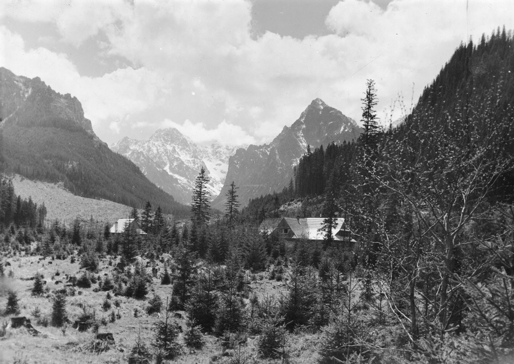
In 1877, landowner Aladár Salomon built a hunting lodge on Poľana pod Vysokou. In 1879, Prince Christian Kraft zu Hohenlohe-Öhringen bought the valley, converted the lodge into a forester's house, and generally kept tourists out. From 1924 to 1926, the Czechoslovak Tourist Club built a mountain hut on the site. In 1936, the Czechoslovak state acquired the valley, marking it a protected area, which remains to this day.
Rysy is Poland's highest peak, reaching 2,499 m (8,199 ft). It comprises three distinct peaks. The central summit marks the highest point, with the northwestern peak closely behind and the southeastern peak last.
Liying on the border between Poland and Slovakia, Rysy's northwestern peak lies within the Polish territory, forming part of the prestigious Crown of Polish Mountains. Meanwhile, the other two peaks extend into Slovakia. On the northern side of the Rysy mountain, nestled within the Polish territory, lies the enchanting glacial lake known as Morskie Oko, affectionately referred to as the "eye of the sea."
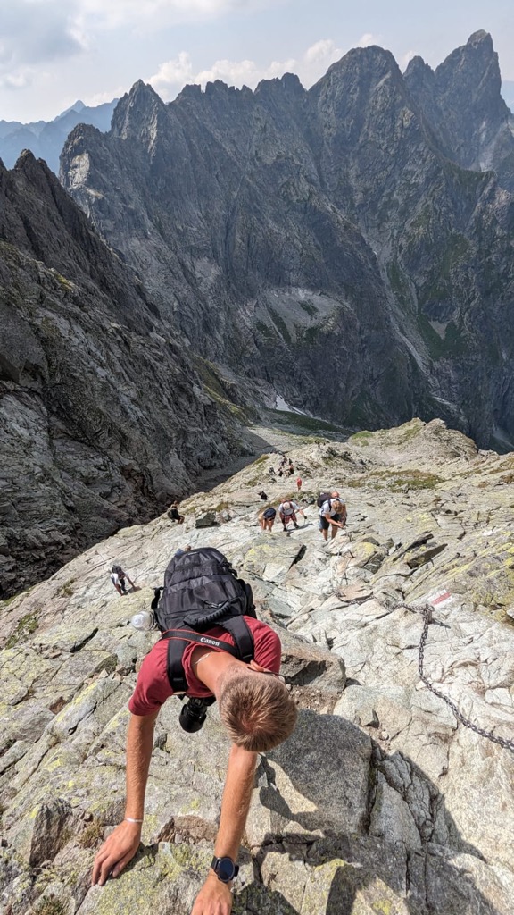
From the lake to the summit of Rysy is a difference of 1,104 m (3,622m), more than half of the total vertical on the route.
There are permanent handlines (chains) for safety on the steep, rocky scramble. The exposure on the final push to the summit is exhilarating. The ridgeline extending west is a jagged knife ridge with cliffs on both sides.
The highest summit in Slovakia's High Tatras mountain range is Zadny Gerlach (2,616 m / 8,582 ft). Its name comes from the Slovak village of Gerlachov. In Poland, the peak is also known as Girlach and Garluch.
Access to the peak is restricted to those accompanied by a certified mountain guide or members of the national UIAA club because the usual ascent route is graded UIAA II-III. Typically, guides traverse from east to west, ascending from Velická Valley and descending into Batizovská Valley. This challenging hike/climb covers 11 km (6.8 mi) with an elevation gain of 1,100 m (3,609 ft).
This route begins at Lysá Poľana, a bus stop and parking area in the Poprad district. It follows through the section of Tatranský National Park, all inside the Bielovodská Dolina protected area, ending at Starý Smokovec with a railway station, bus stop, and parking.
The journey spans approximately ten hours, traversing two valleys and a saddle. It’s a challenging full-day hike due to the length and significant elevation gain.
Poprad (pop. 52,000) is a charming town in northern Slovakia and is the gateway to the High Tatras. Poprad's well-preserved historic center, particularly the Spiska Sobota district, features beautiful medieval architecture, including Gothic churches and Renaissance burgher houses. Poprad offers easy access to outdoor adventures in the Tatras. The town is also home to AquaCity, a thermal water park that draws visitors year-round.
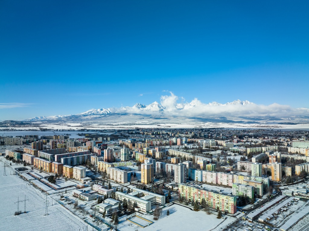
Prešov, situated in eastern Slovakia, has a population of around 90,000 and serves as a regional hub for commerce, education, and culture. The city's well-preserved historic center features stunning churches, elegant palaces, and colorful townhouses. Specifically, it’s known for the St. Nicholas Cathedral and the landmark Orthodox Synagogue. Prešov also offers access to the picturesque Šariš region and nearby national parks.
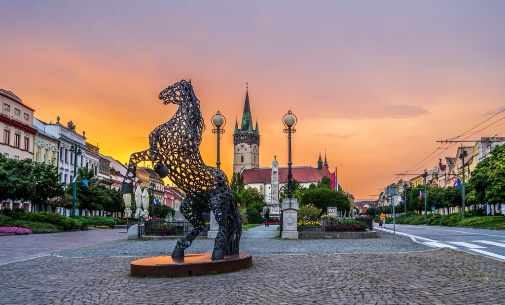
Krakow, one of Poland's oldest and most culturally significant cities, is located in the southern part of the country and is the closest major city to the Tatra Mountains. Home to approximately 770,000 residents, it boasts a rich history dating back over a thousand years. It is known for its well-preserved medieval core, including the UNESCO-listed Krakow Old Town, St. Mary's Basilica, and Wawel Royal Castle.
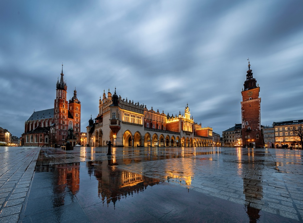
Explore Bielovodská Dolina with the PeakVisor 3D Map and identify its summits.

