Scan the QR code and open PeakVisor on your phone
Badger Creek Wilderness is located just east of Mount Hood in the northeastern section of Oregon. The area spans 29,057 acres. There are six total wilderness areas within Mount Hood National Forest which also includes Mark O. Hatfield, Salmon-Huckleberry, Mount Hood, Mount Jefferson, and Bull of the Woods. There are 7 named mountains in Badger Creek Wilderness. The highest and the most prominent mountain is Lookout Mountain at 6,525 feet. The elevation in the wilderness ranges from 2,100 feet up to the top of Lookout Mountain.
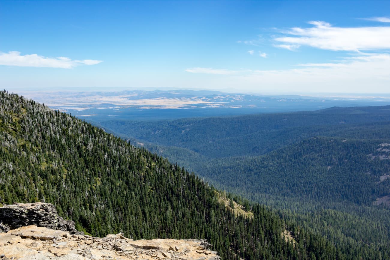
The vegetation in the wilderness varies depending on the region. The west side averages 80 inches of rainfall with lush vegetation while the eastern lowlands only average 20 inches of annual rainfall. Within the wilderness there are 55 miles of trails with many more extending to other parts of Mount Hood National Forest. Many of the hiking trails are frequented during the summer for hiking and trail running while in the winter they are used for cross-country skiing. There are three major creeks in the wilderness that drain from Mount Hood. These include Badger, Little Badger, and Tygh. The slope inclines range from 30 to 70 degrees before exiting the Badger Creek Wilderness.
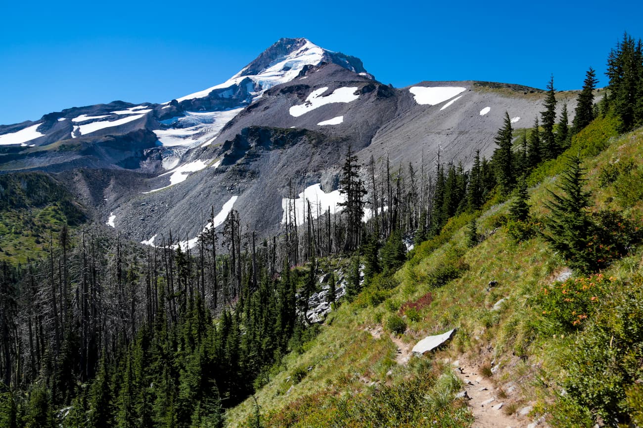
There are multiple trails leading to the highest point within the wilderness. Routes range from a 15-mile Gumjuwac Creek Loop to a 7-mile out and back route via the Divide Trail. Note the longer routes often have more than 3,000 feet of elevation gain while the shorter routes have roughly 1,800 feet of elevation gain. As the highest point in the wilderness, Lookout Mountain offers panoramic views of Badger Creek Wilderness, Mount Hood National Forest, and on a clear day, Mount Hood in the distance. From the top hikers can see other distance peaks in Washington and Oregon depending on the visibility.
This 8.5 mile out and back route has 2,000 feet of elevation gain and some of the most spectacular views in the region. The trail climbs moderately to the peak through the forest before reaching the summit. Once there climb the old fire lookout and you’ll be above the tree line and have unobstructed views of the forest below and Mount Hood framed in the distance.
The Badger Lake Trail is 24-miles out and back with 3,597 feet of total elevation gain. The trail has amazing views of one of the main rivers in the region, Badger Creek. The trail turns around at Badger Lake though the lake is also accessible by car. Start at Badger Lake or at the other end for the full trail experience.
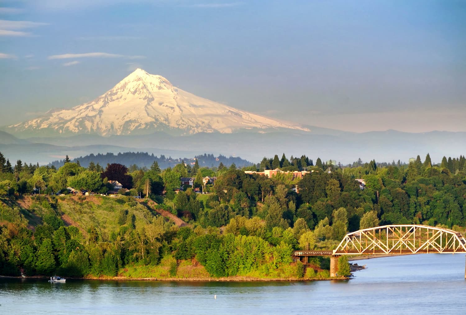
The Badger Creek Wilderness is located 2:15 southeast of Portland, OR. With a population of over 600,000 people, Portland is the largest city within the state of Oregon. Known for its vast food scene, many people often forget that Portland is also a hiker’s paradise. The city is home to Forest Park, 5,200 acres of trails within the city, it is just two hours away from both Mount Adams and Mount Hood, and an hour from Tillamook National Forest.
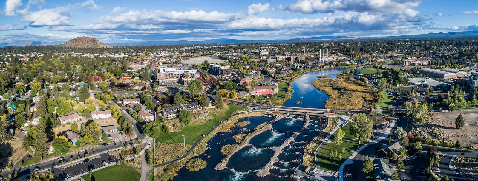
Bend is the largest city located in eastern Oregon with a population of nearly 100,000. The city is located on the Deschutes River and is known for being an outdoor paradise. To the west lies the lake and peaks of the Cascade Mountains, along with Mount Bachelor Ski Resort, while a trail in the city leads to the top of Pilot Butte. To the south lies the High Desert Museum and Newberry National Volcanic Monument. Just north of town is one of the state’s most iconic rock-climbing locations, Smith Rock State Park. As a whole, the city is a mecca for trail running, skiing, mountain biking, hiking, rock climbing, and even surfing in the river. Besides the abundance of outdoor activities, Bend is known for its numerous breweries and restaurants.