Get PeakVisor App
Sign In
Search by GPS coordinates
- Latitude
- ° ' ''
- Longitude
- ° ' ''
- Units of Length

Yes
Cancel
❤ Wishlist ×
Choose
Delete
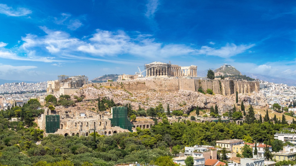
The Regional Unit of Central Athens is one of the four administrative units within Athens, the capital of Greece. The main feature of the Central Athens mountains is the Acropolis, a massive 150 m (492 ft) high limestone hill featuring the world-famous ancient temple of Parthenon and several other structures. Together they constitute a significant architectural, cultural, and natural complex in the history of Western civilization, dating back to the 5th century B.C. The Acropolis is also one of the seven hills on which Athens was originally built.In total, there are 24 named mountains in the Regional Unit of Central Athens. The highest and most prominent mountain is Eyzonas (1,026 m / 3,366 ft) of Mount Hymettus massif. This district is a must-visit place for all outdoor, nature, and history enthusiasts.
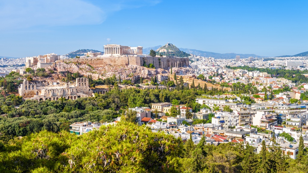
“Athens” is derived from the name of one of the major ancient Greek goddesses, Athena, to whom the Parthenon was dedicated (Athena is the goddess of wisdom and military affairs). Athena was likely named after the city and not vice versa.
There has yet to be a consensus on where the name Athens comes from and what it means. One popular version proposes that it means “flower” and hence “a blooming city.” Having spent three weeks in the city, I can confirm that this Mediterranean paradise is very green.
The name of the unit in Greek is Περιφερειακή Ενότητα Κεντρικού Τομέα Αθηνών, where the last word is Athens proper.
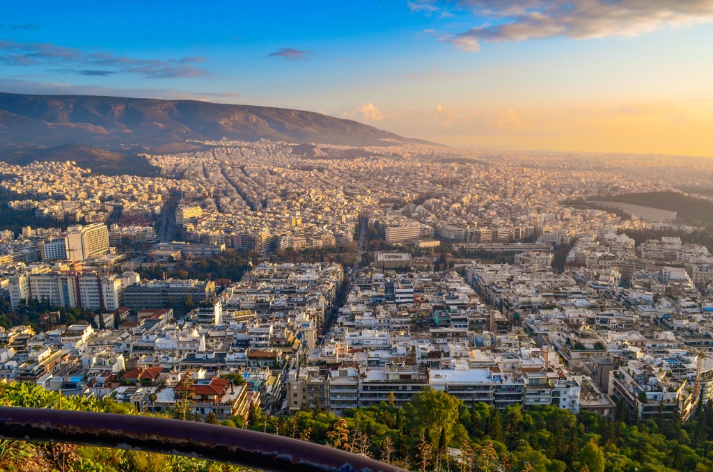
Athens is in southern Greece on the Attica Peninsula.
In addition to Central Athens, the city is divided into three other parts: West Athens, North Athens, and South Athens. To complete the picture: on the same administrative level, the region also includes West Attica and East Attica, Piraeus, and Islands regional units. The latter are the Saronic Islands, a part of the Peloponnese peninsula, as well as a few other islands off its coast.
Internally, Central Athens is divided into eight municipalities with corresponding numbers as follows: Dimos Athinas (1), Dafni-Ymittos (13), Filadelfeia-Chalkidona (32), Galatsi (11), Ilioupoli (16), Kaisariani (19), Vyronas (10), and Zografou (15). In total, there are 34 municipalities in all four parts of Athens.
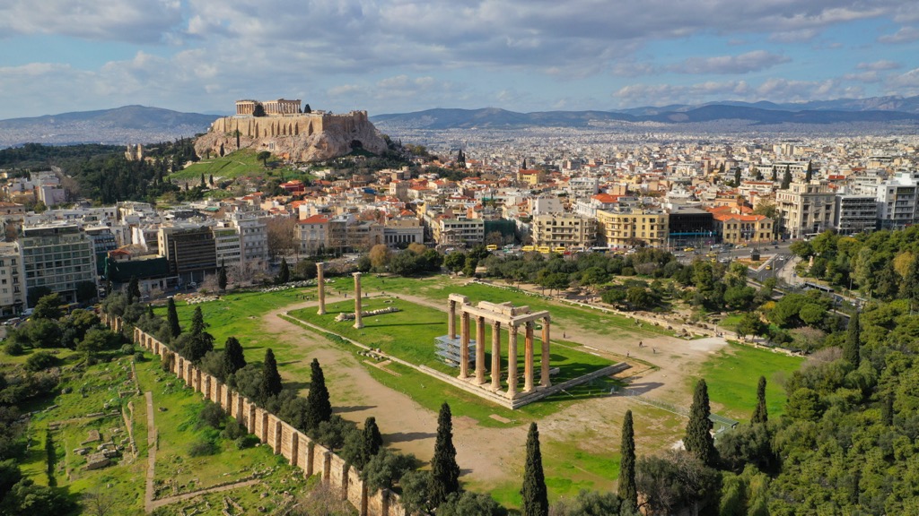
The fastest and easiest way to get to Athens is by direct flight. The leading Greek airline is Aegean Airlines, which offers free wine on the flight. I saved mine and drank it on the ferry ride to the island of Amorgos in the Naxos regional unit (read my guide to its mountains).
It’s a little longer and more challenging to reach Athens by train or bus from neighboring Balkan countries to the north of Greece, including Albania, North Macedonia, Bulgaria, and Turkey. The leading Greek train and bus companies are Hellenic Train and Ktel Buses..
Of course, you can also get to Athens by sea. Just be prepared for the unexpected: my ferry was rescheduled at the last moment due to a strike. The leading Greek ferry company is Blue Star Ferries.
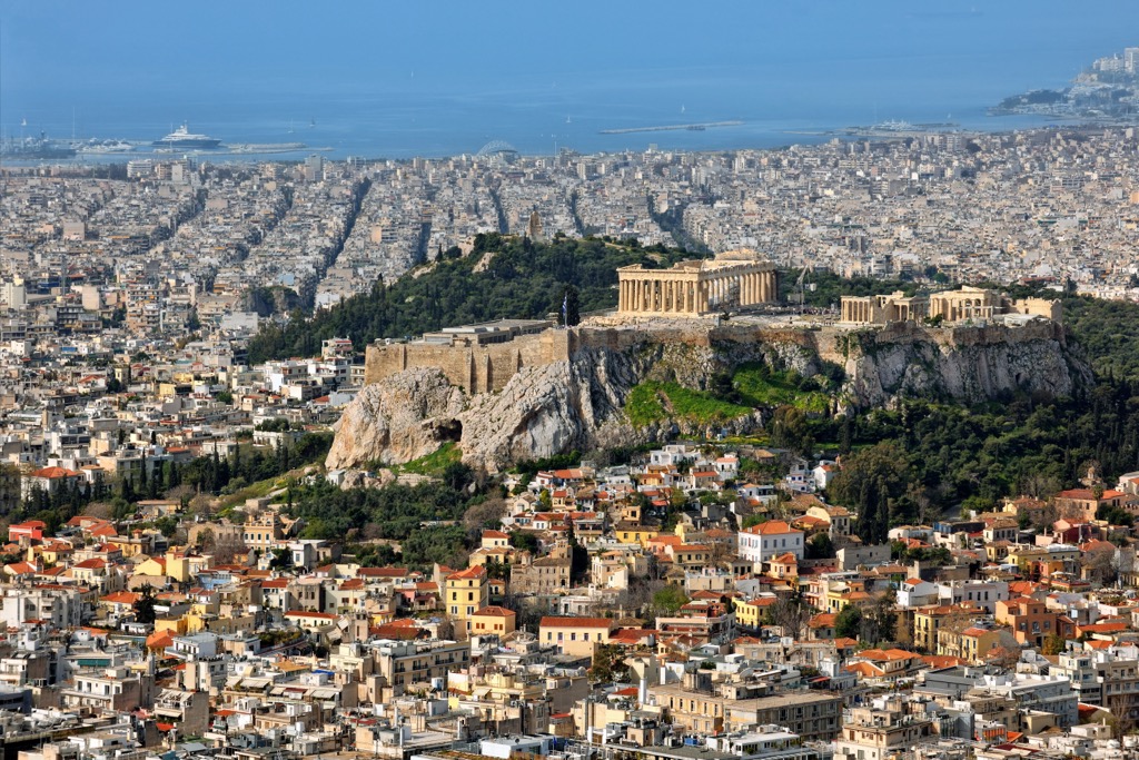
In addition to the hills of Athens, the main feature of the city’s landscape is the Athens Basin and the Attica Basin. The city is also surrounded on all four sides by four relatively small mountain ranges with the following namesake highest peaks: Óros Aigáleo (452 m / 1,482 ft) of Mont Aigaleo to the west between units of West Athens and Piraeus, Karavola (1,413 m / 4,635 ft) of Mount Parnitha to the north in the unit of East Attica, Pergari (1,109 m / 3,638 ft) of Mount Pentelicus to the northeast between units of North Athens and East Attica, and Eyzonas (1,026 m / 3,366 ft) of Mount Hymettus to the east, the highest in the unit of Central Athens.
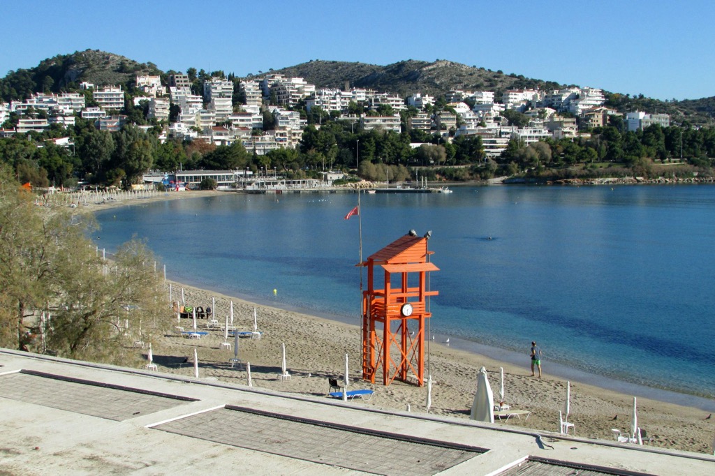
To the south of Athens is the Saronic Gulf of the Aegean Sea, with its eponymous series of islands between the Attica and Peloponnese peninsulas. While Central Athens has no access to the sea, you can easily access the coast on the Athens Tram from Stasy.gr сompany. The tram runs to the south and then along the entire coast of West and South Athens.
The eastern tram line is longer than the western and reaches the distant Athens suburbs. The final station is Asklipiio Voulas. On the opposite side is the SEF next to the stadium of the main Athenian and Greek soccer club Olympiacos, the closest to the port of Piraeus, which is about 5 km (3.1 mi) further. You have to take the metro directly from the center to reach it. Syntagma is the end stop for the tram and metro in the city center.
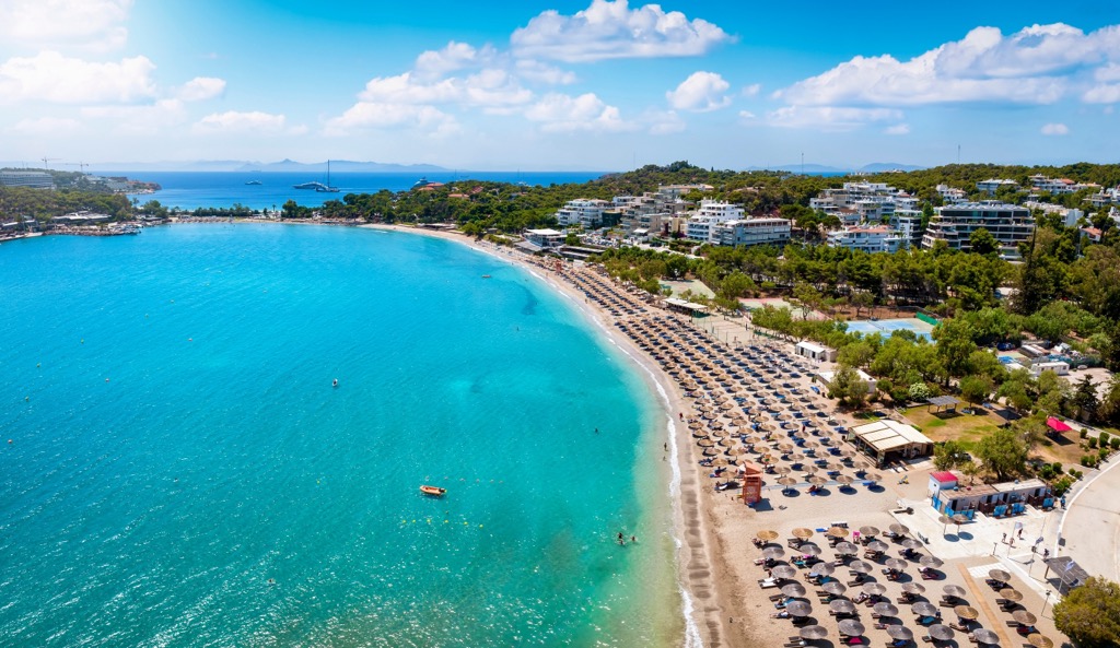
Although Athens has many beaches, most of them are small and rocky. However, there are three large sandy beaches that are very popular with tourists: Kalamaki, Glyfada, and Voula. If you want to avoid the crowds, it’s better to choose one of the smaller beaches away from the port, toward the peninsula of Sounio.
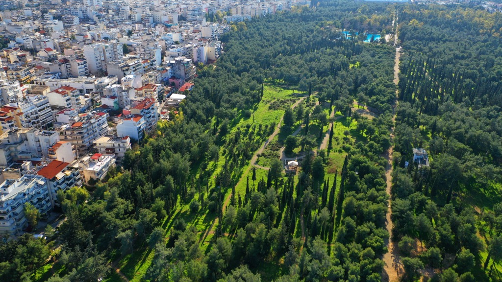
Central Athens is quite green with many parks. The largest park is Athens National Garden, which is located northeast of the Acropolis. It’s known as the “green lungs of the city,” and it’s worth taking a stroll through this tranquil place. In addition to the Garden, there are several other significant parks in the city such as Pediontou Areos Park and Plato’s Academy Park. The hills of Athens also have a lot of vegetation, providing plenty of greenery to the cityscape.
There are 24 named mountains in the Regional Unit of Central Athens. Historians believe that the city was originally built on seven of them, putting it on the so-called “Cities on Seven Hills” list. This tradition comes from Rome, Italy, which was the first such city. Visitors can also find seven hills in Washington, San Francisco, Bristol, Moscow, Tehran, Shimla, Brisbane, and other cities.
The most important of the seven hills of Athens is the Acropolis (150 m / 490 ft), where the Parthenon and a dozen other structures have survived to the present day. But far fewer people know that there are also several caves within the hill which used to be places of worship in ancient times (Cave Sanctuaries of the Acropolis of Athens). Over time, these caves formed in the soft limestone rock that makes up this and other hills of the city.
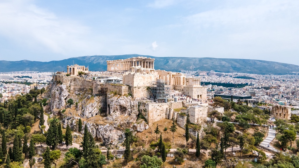
The Acropolis Museum, located at the foot of the hill, showcases findings from excavations in Athens and Greece. It is one of the most important museums in the world and was built to house every artifact found on the rock and on the surrounding slopes, from the Greek Bronze Age to Roman and Byzantine Greece. The museum is focused on the findings of the archaeological site of the Acropolis of Athens.
The principal natural museum of Athens is the Goulandris Natural History Museum. Another worthwhile alternative is one of the three museums of the University of Athens: the Museum of Geology and Paleontology, the Museum of Anthropology, or the Zoological Museum. Those interested in the sea should visit either Hellenic Maritime Museum or Shipbuilding Museum.
The best view of Acropolis itself is from Areopagus (162 m / 531 ft). This natural white rock is a favorite place for all tourists to visit. However, it will be sweltering in the middle of the day without shade (Athens is one of the sunniest places I’ve ever been).
A little farther away are three neighboring hills of Athens that offer a great view of not only the main Greek temple but also of opposite side of Athens to port Piraeus: Philopappos (150 m / 492 ft), Lofos Nymfon (111 m / 364 ft), and Lofos Pnykas (111 m / 364 ft). I recommend watching sunset here; whole city, which consists primarily of white buildings, literally turns pink. It is an incredible thing to experience.
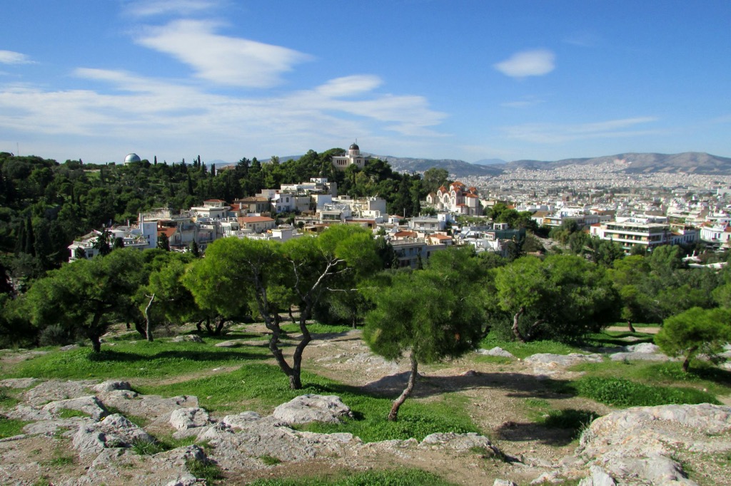
A sixth hill of Athens, Lykavitos (277 m / 908 ft), is located north of the Acropolis. This peak surpasses the others in size and height and offers even more panoramic views of the city. You can climb the hill by car, cable car, or on foot through a small park. Plan at least a couple of hours for hiking; although the mountain seems easily accessible from a distance, it can be quite challenging to climb.
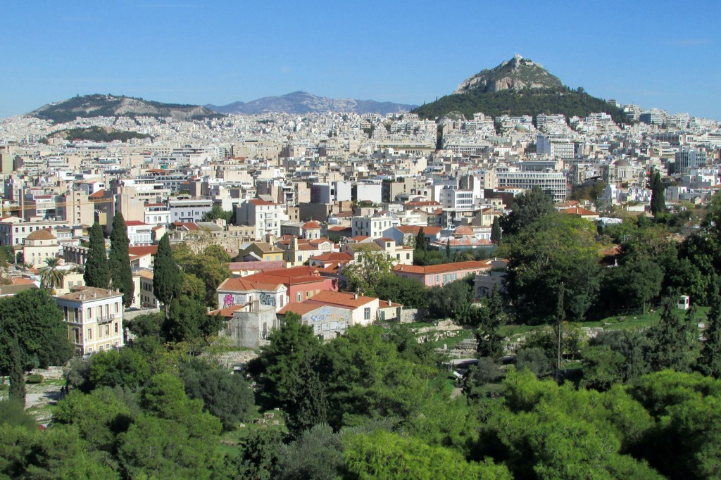
Farther north of Lykavitos, you’ll find the city’s seventh and tallest hill, Toyrkovoynia (326 m / 1,069 ft). The summit opens up a series of about a dozen more peaks stretching behind it. Although there are no attractions on the mountain, it’s a great place for jogging by locals.
If you’re looking to explore Athens’ original seven hills, you’re guaranteed two or three great days in the city. Athens is also an excellent city for hiking in general. By staying out of the city center in one of the neighborhoods half an hour away, you’ll have an excuse to walk back and forth and see the less touristy parts.
Central Athens has at least six hills that are perfect for easy hiking. For more remote and long-distance hikes, head to one of the four mountain massifs surrounding the Athens Plain. Each massif is also a protected area within which you will find local attractions.
Mount Aigaleo to the west boasts Diomidous Botanical Garden, while Mount Hymettus to the east has green space around the Sacred Monastery of Kaisariani, an ancient Orthodox monastery site that few tourists visit (they simply don’t know it exists). Mount Pentelicus to the northeast has Dimosio Dasos Rapentosas Park, which includes Davelis Cave with two churches built right into the rocks (in general, Greeks are very fond of this method of building religious structures).
Mount Parnitha is Athens’s most extensive hiking area since it is a namesake Parnitha National Park, one of 15 in Greece. Consequently, you will find even more marked hiking routes there, which will be longer and more difficult than other parts of the city; however, there are still easy trails that take only 2–5 hours.
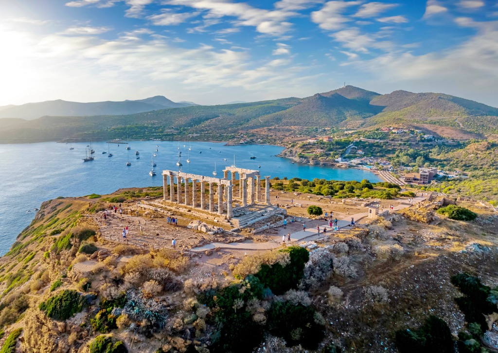
Last but not least, south of Athens in the Regional Unit of East Attica is the must-visit Sounion National Park, which covers the area of the Sounion Cape, the southernmost point of the Attica Peninsula and one of the southernmost in mainland Europe as a whole. It is also known for the Temple of Poseidon, which is as large as the Parthenon in the Acropolis. The park also stretches northward and includes five nearby named mountains, the tallest of which is Hortaria (373 m / 1,224 ft).
The promontory can be reached by bus from the final station of the eastern branch of the Athens Tram or directly from the city center. It is also a great bike route along the sea without many cars (and without many other cyclists) at 55 km (34 mi) one way. But check Sounion opening times before you visit; I was unlucky as it was closed for reconstruction and I could not visit the temple itself.
Parnassos Ski Centre is the main ski resort near Athens, located 180 km (112 mi) north of the city in the Central Greece region on the namesake Parnassos mountain. The resort straddles an elevation between 1,600 and 2,250 m (5,249 and 7,381 ft) and has 19 runs of 36 km (118 mi), most of which are easy and intermediate, and 17 ski lifts.
You can check out the Athens ski resorts map in the World Mountain Lifts section of the site for real-time information about open ski lifts/slopes near Athens, with opening dates and hours. There are also year-round cable cars, funiculars, cog railways, aerial tramways, and many other types of mountain lifts.
During your stay in Athens, visit the city's official tourist office to learn more information on the spot, pick up a paper map, ask for advice, and more.
Tourist Information Center Athens
Dionysiou Areopagitou, 18, Athens, 11742, Greece
+302103310392
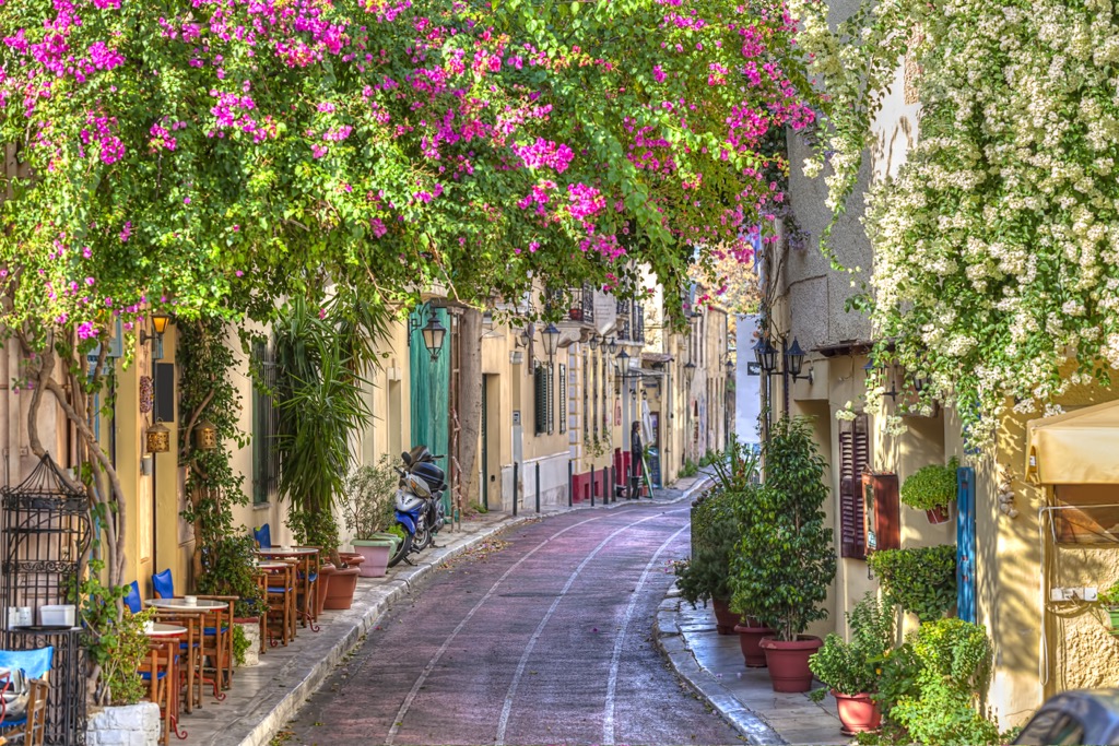
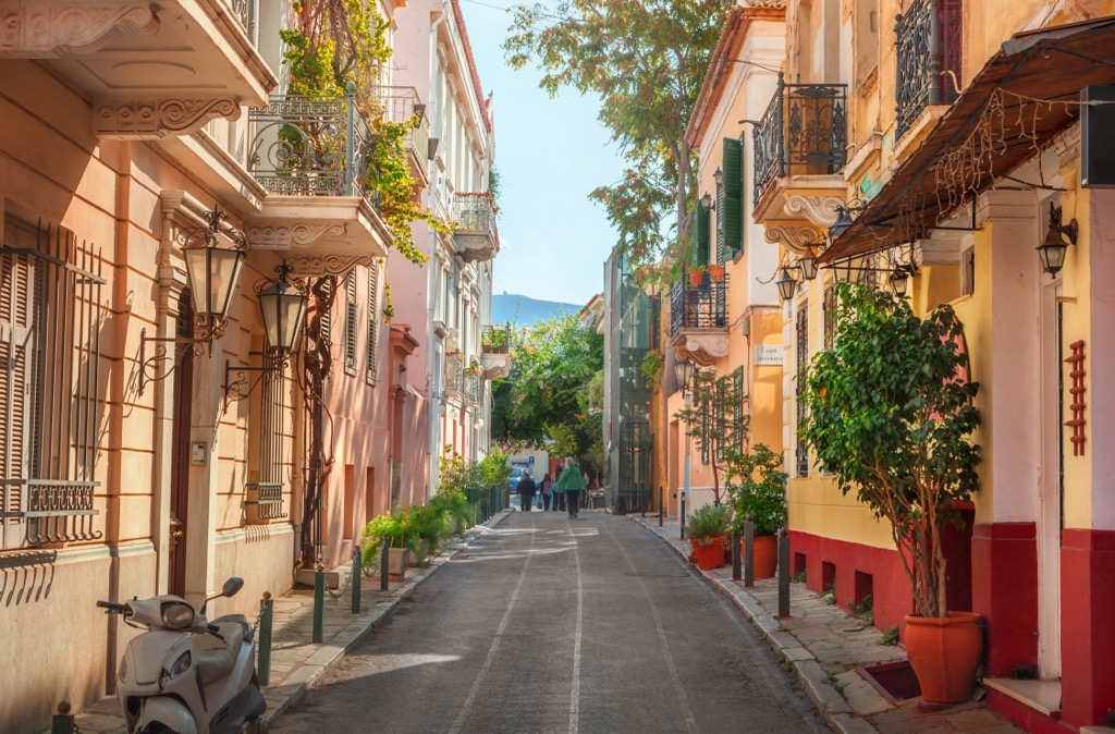
During my time in Athens, I stayed in two different apartments in the center of Athens and one of its neighborhoods, using Couchsurfing and Housesitting sites. The first thing I saw upon entering the apartment was a mobile heater at my host’s feet. The house had no heating in winter, and the temperature was similar to outside, about 15 °C (59 °F) during the day (even colder at night). If you are not ready for such experiments, rent an apartment on Airbnb, and be sure to ask about heating if you travel in winter. Be sure to also ask about air conditioning in summer because the city is sweltering from May to November.
The second most logical option for accommodation is a regular hotel. The official tourist site of Athens recommends the following ten best hotels with a view of the Acropolis: Hotel Grande Bretagne, Electra Metropolis, King George, St George Lycabettus, Athens Was, The Zillers, Herodion, The Foundry Suites, Home & Poetry, and Central Hotel. But for a beautiful view, hotels add to the price. Among the “great value hotels in Central Athens,” they list the following: Noma, City Circus Athens, Athens Green Apartments, Live in Athens, Athens4, Heloni Apartments, Ederlezi Living, Athens Studios & Apartments, Pi Athens Suites.
If you want to go farther from Athens for a day or two but not too far, so you can see “one more pink sunset” before going home, you can choose Patras, the capital of Peloponnese Peninsula and region, 215 km (134 mi) west of Athens, or Chalcis, the capital of Euboea Island, 75 km (47 mi) to the north. These are the two largest cities near Athens, to which you can travel while remaining on the mainland. But an excellent alternative is to take a trip by sea to one of the nearby Saronic Islands or the Cyclades. Among the latter, the nearest is Kia Island, and the most remote ones like Naxos can be reached in a maximum of 8 hours by ferry.
Explore Regional Unit of Central Athens with the PeakVisor 3D Map and identify its summits.


