Get PeakVisor App
Sign In
Search by GPS coordinates
- Latitude
- ° ' ''
- Longitude
- ° ' ''
- Units of Length

Yes
Cancel
❤ Wishlist ×
Choose
Delete
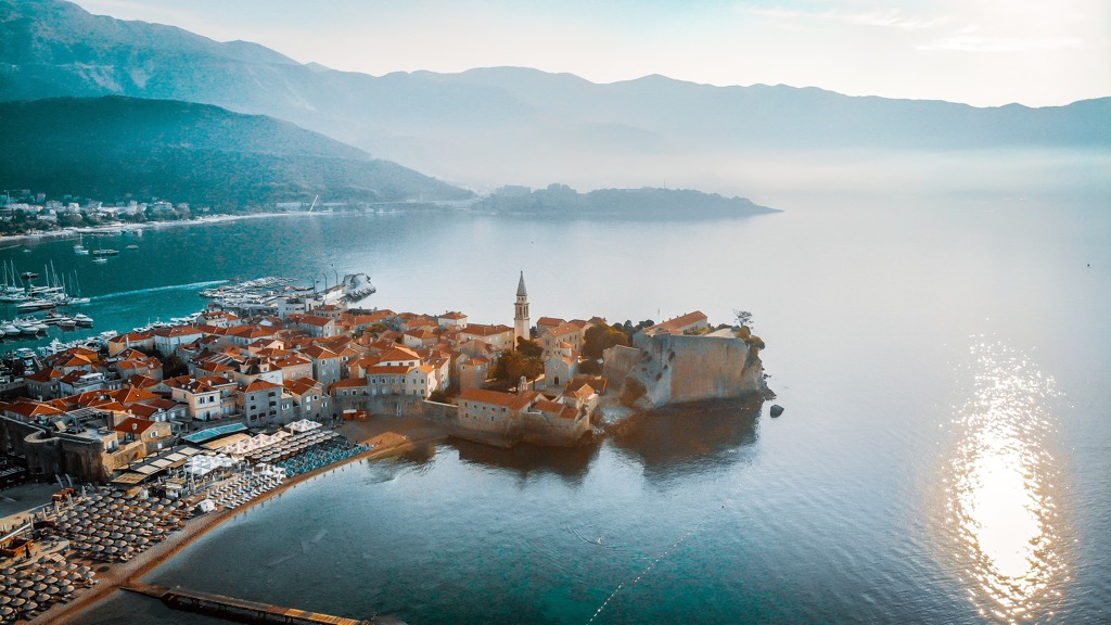
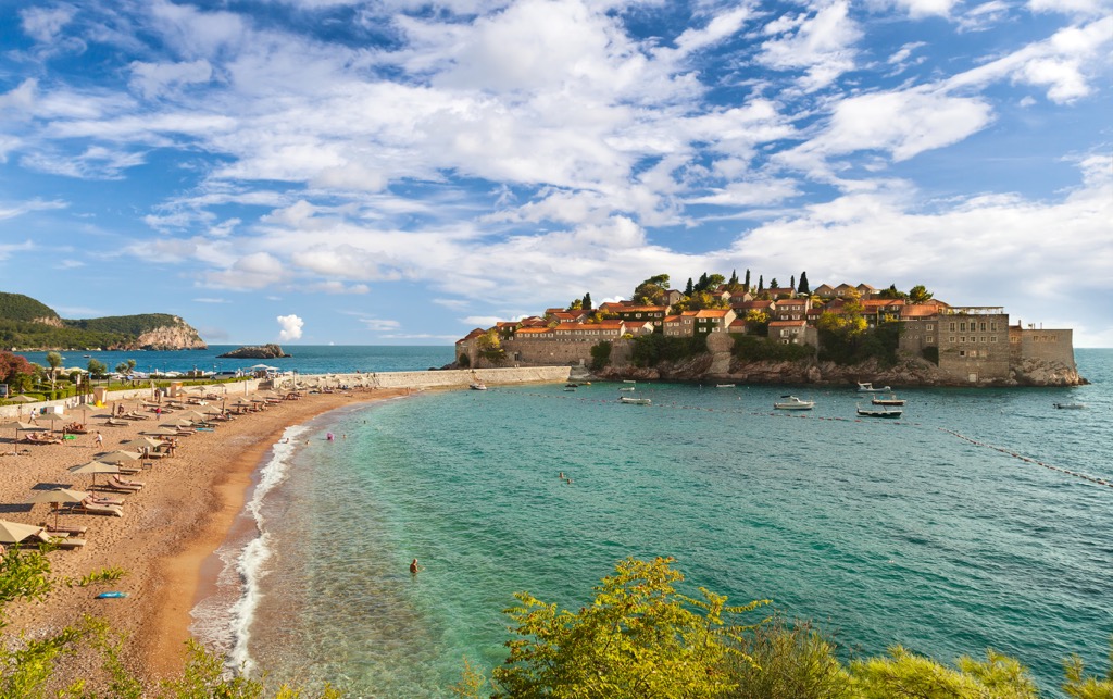
Budva is one of the 25 municipalities or large regions of Montenegro in southern Europe. The main feature of Budva mountains is the incredibly beautiful landscape of the Budvanian Riviera with numerous bays and beaches, including the Venetian Old Town of Budva itself and the rocky island of Sveti Stefan. You will find the best panoramic views of them from the peaks of the Dinaric Alps, which rise almost directly from the seashore. Koložunske grede (1427 m / 4682 ft) is the highest point. The most prominent mountain is Velji Kosmač (881 m / 2890 ft). In total there are 57 named mountains in Budva municipality.
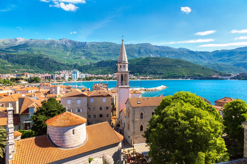
The name of the municipality most likely comes from the modern Albanian word "butë", which in turn is a modification of "bukta" in Proto-Albanian, which means “soft, mild” and refers to the climate of the area (Albania is a neighboring country to Montenegro in the south).
In my experience, the climate along the entire coast of the country is indeed very pleasant in the off-season but is weakened by the cold bora wind during winters that blows all along the eastern Adriatic coast, and the hot humid almost tropical summers.
The name of the region in Montenegrin, a variant of Serbian: Opština Budva, where the first word is Russian "община" (obshina—community), written in Latin, which was introduced in 2009. Previously, Montenegro used the Cyrillic alphabet, on which the grammar of the language is still based and traces of which can be found everywhere in the inscriptions.
For those coming here from other Slavic countries, Montenegro will seem familiar and this will help you navigate it better. For travelers from other parts of the world, on the contrary, it will appear more exotic. It also follows that the locals barely speak English, but Montenegrins are very friendly.
The word "polaco", a synonymous with the whole country, which means a relaxed and unhurried way of life, when things, even important ones, are put aside on purpose, is especially evident in the Budva Riviera (but the coffee is usually carried within 10–15 minutes).
Budva municipality (122 sq km / 47 sq mi) is the smallest in the country after Tivat (45 sq km / 17 sq mi). In comparison, the largest, Nikšić, covers an area of 2065 sq km (sq 797 mi).
To the south, it borders Bar, to the north with Old Royal Capital Cetinje, and to the west with Kotor.
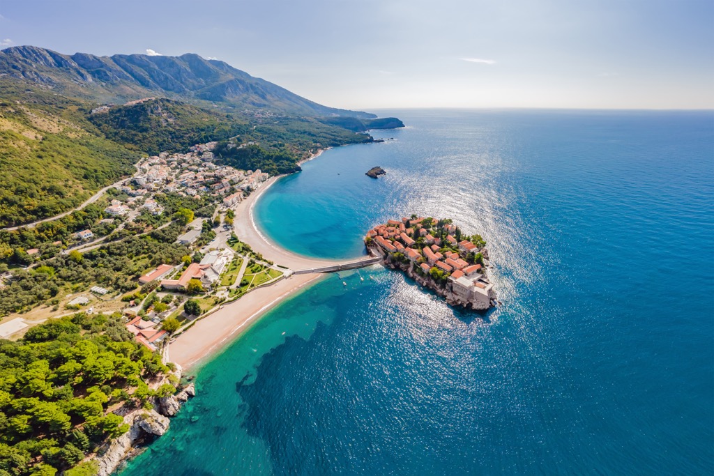
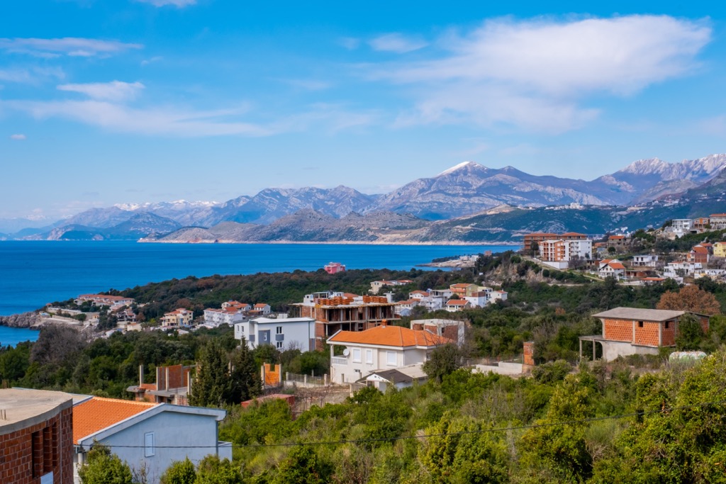
Besides Budva, several dozen small settlements can be counted within the municipality, the largest and/or most famous of which—Bečići, Rafailovići, Pržno, Miločer, Sveti Stefan, and Petrovac—are predictably located along the coast.
The easiest and fastest way to get to Budva is from one of two international airports: Tivat and Podgorica. The first is active in tourist season, and the second—all year round. The distance from the former is just 25 km (15 mi), from the latter—65 km 40 (mi).
From the airports, everyone usually travels around the country by rented car, because bus and rail transport is underdeveloped. Buses are old and uncomfortable, schedules are confusing, tickets are available online but difficult to buy online… The nearest railway station is in Bar down the coast to where you can come from Podgorica. In my experience it is the same: I have only used the worst local transportation in India.
Also be careful when riding bicycles, because there is a lot of traffic on the coastal road, which becomes just catastrophic in the summer.
There are five main features in the landscape of Budva without each of which it would not be complete:
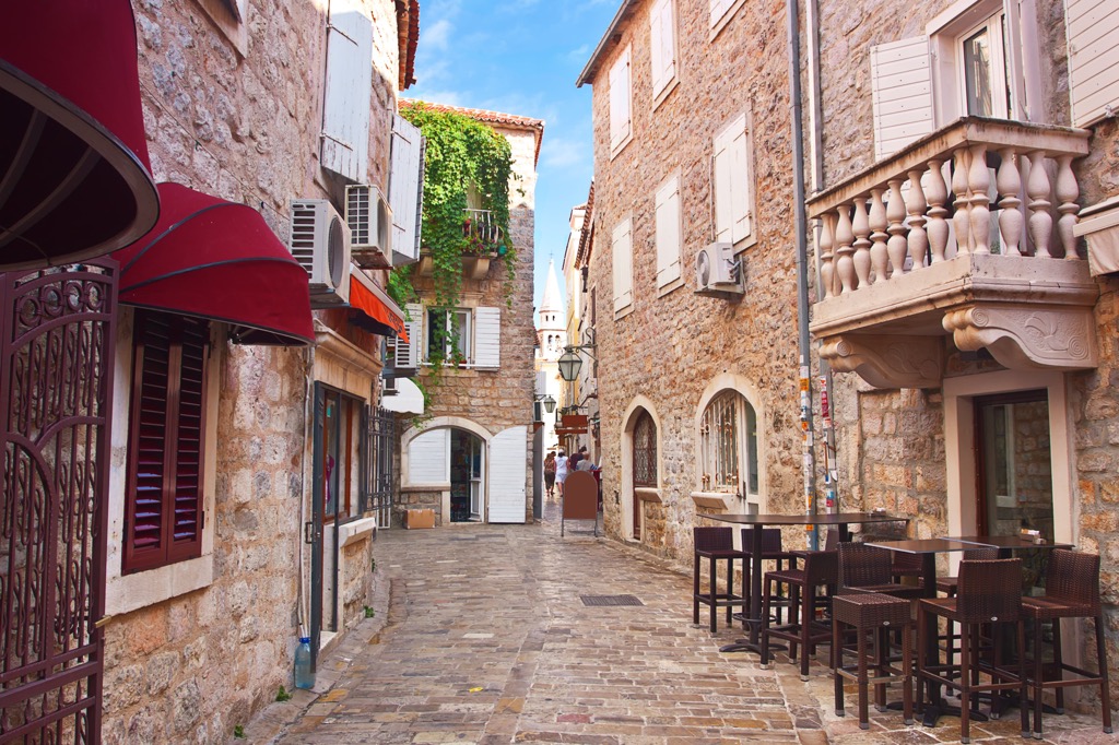
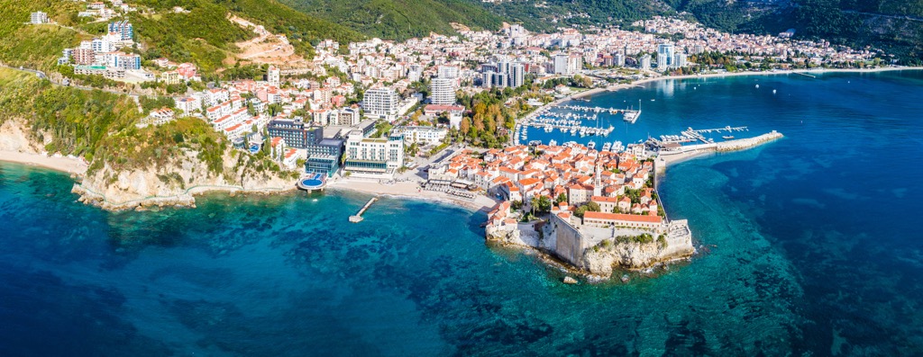
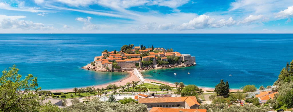
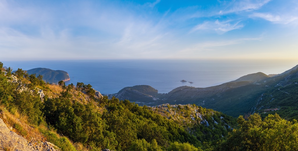
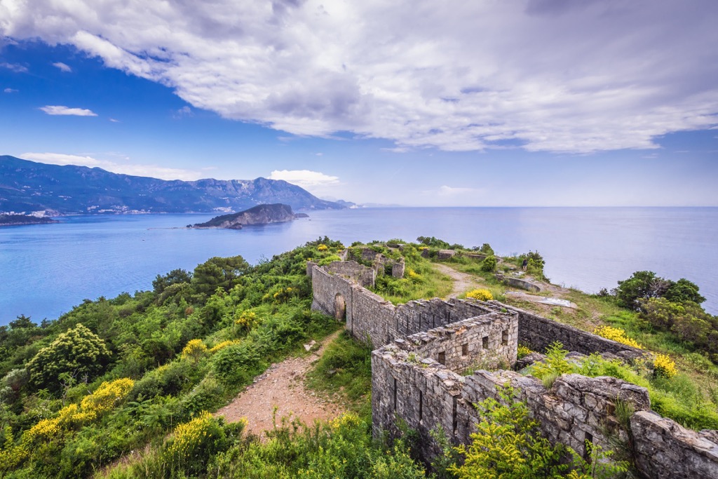
Given the relatively small size and elongated shape of the municipality, a total of 57 of its named mountains are located almost along the coast. You can see them directly from the Slovenska beach in the center of Budva, namely Urovica (581 m / 1906 ft), Obla Glavica (639 m / 2096 ft), Klepalo (324 m / 1-62 ft), and others. Above Sveti Stefan are three high mountains: Velja Strana (755 m / 2477 ft), Ilijino Brdo (850 m / 2788 ft), and Oblo Brdo (738 m / 2421 ft). The most prominent mountains of the municipality, Velji Kosmač (226 m / 741 ft of prominence), is also located close to Sveti Stefan to the north-east of it.
The Sveti Nikola Island is also a mountain of 121 m (397 ft) high and part of the Dinaric Alps. From certain angles, it is very similar to Monte Brione (376 m / 1233 ft) in the north of Garda Lake in Brescia and Garda Prealps in Italy.
The highest peak of the entire municipality, Koložunske grede (1427 m / 4681 ft), is located in its north-west on the border with Old Royal Capital Cetinje in Lovćen National Park.
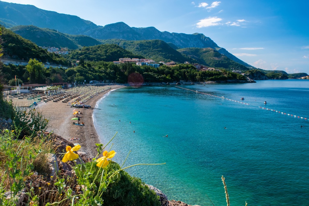
There are seven main hiking trails around Budva, including a hike to one national park, as well as one long trail that runs through the entire municipality:
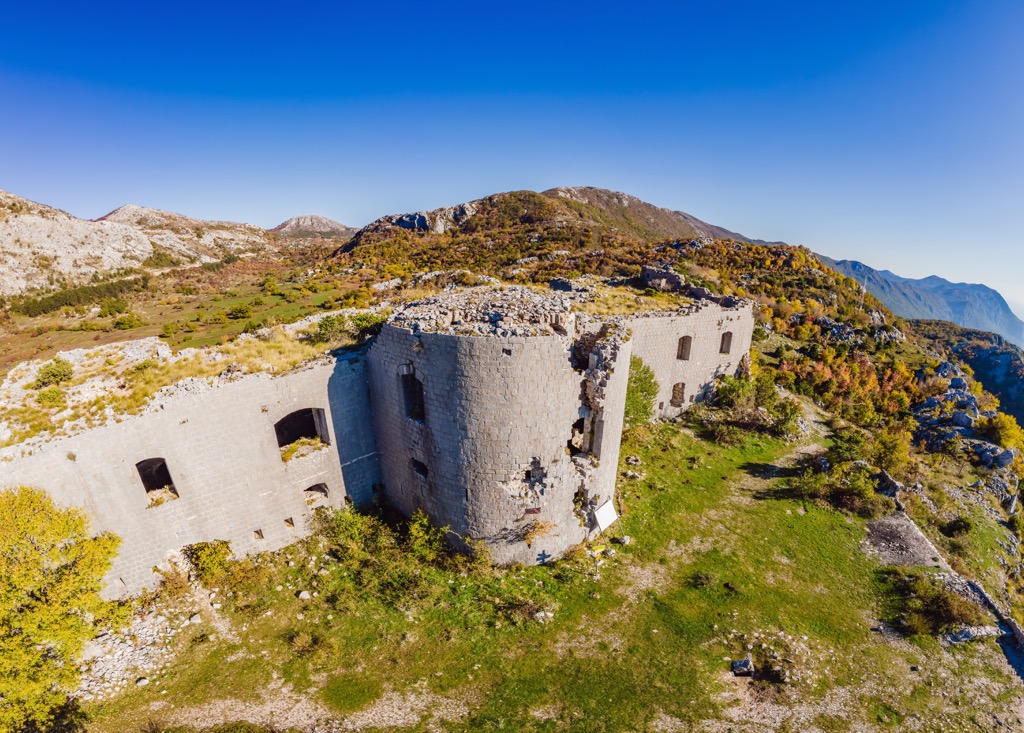
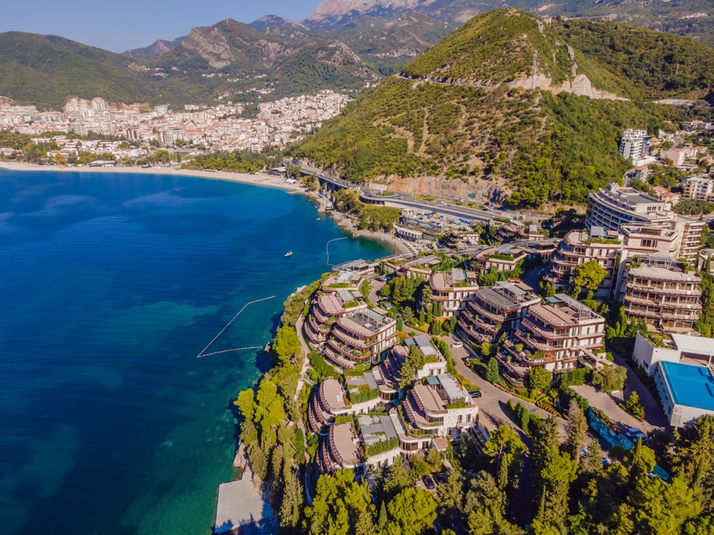
As for hiking near Budva in general, it has relatively low mountains and easy trails with good markings. The main advice is do not go hiking in the summer in the heat, and especially without hats and water. On the contrary, in winter the mountains above Budva can be covered by some snow, so better to have waterproof shoes. The weather is cold in the mornings and evenings, even if the midday is sunny and warm, it gets dark about 17 pm in December-January. Calculate your travel time and take warm clothes. The bora could be a real obstacle, too. If you see that the palm trees on the waterfront bend in the wind—do not go out of the house, otherwise, it will also blow you off your feet, and you will also need to hide from flying objects everywhere.
The closest ski resort to Budva is the same Ivanova Korita in Lovćen National Park. But it is very small, with only 0.4 km (0.2 mi) of slopes and 1 ski lift. The only really big Montenegrin ski resort is situated further north in the mountains—Kolašin 1450 / Kolašin 1600 with 45 km (30 mi) of slopes and 7 ski lifts.
Learn more about ski resorts in the Balkans, Europe and the world in the World Mountain Lifts section of the site, including open and closed slopes and ski lifts.
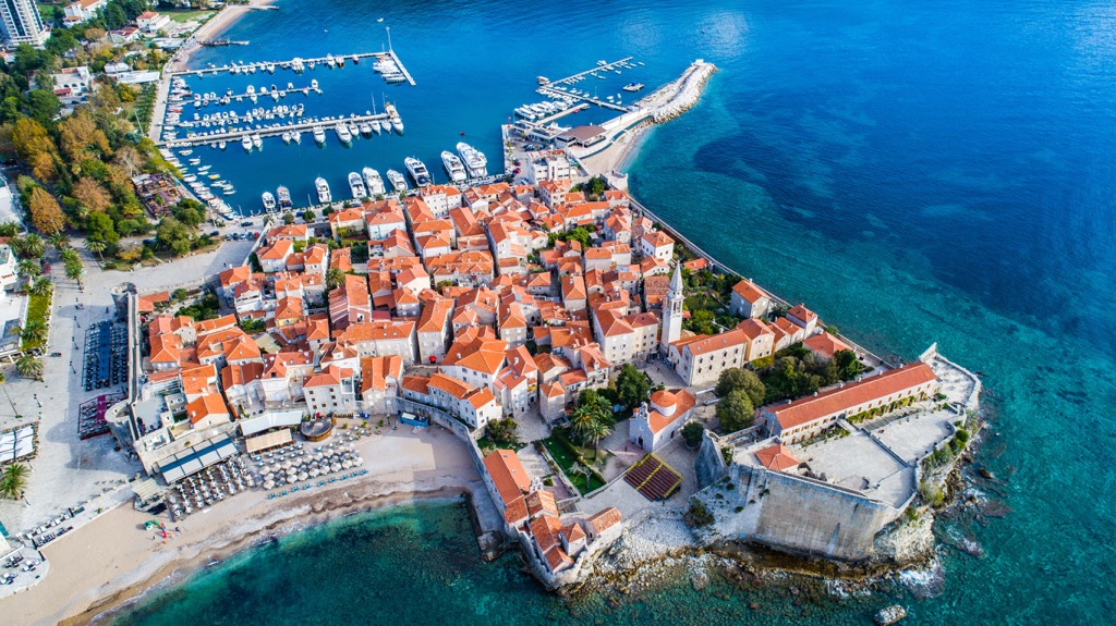
During hiking in Budva, visit one of its official tourist offices and info points located in almost all of its major coastal towns. You will also find useful information at the official website of Montenegro National Tourism Organization: Montenegro.travel.
Tourism Organization of Budva
Njegoševa Street, 28, Old Town Budva, Montenegro
+382033452750
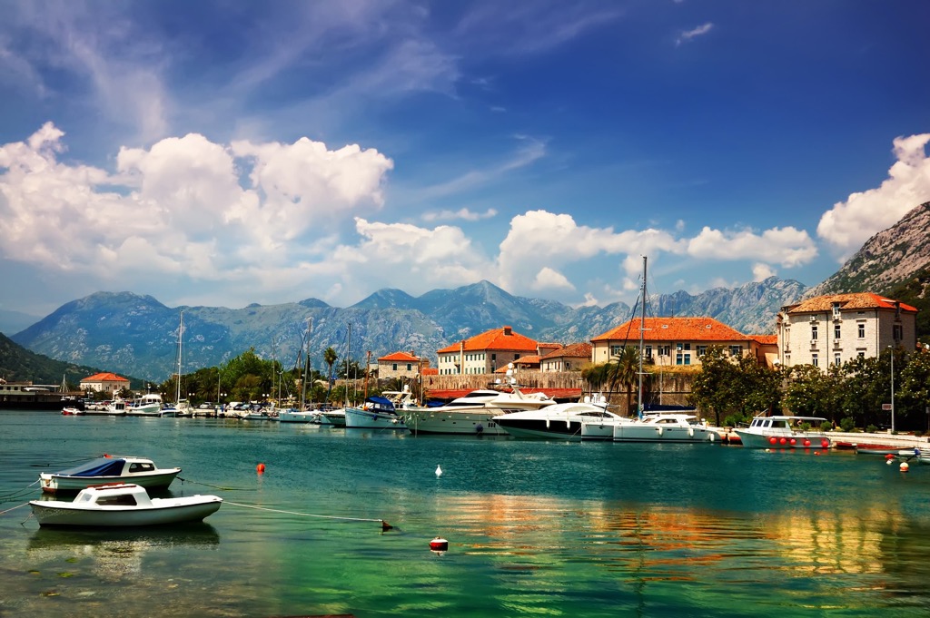
If you reach Lovćen National Park on foot, there are 5 four-bed bungalows available at Ivanova korita. They are designed for accommodation for several days throughout the year. You need to book a place in the bungalow in advance through the website of the national parks of Montenegro: https://nparkovi.me/en.
The park also allows you to camp in several designated areas.
There are also other accommodation options provided by the various companies: for example, a small hotel Ivanov konak with 7 bungalows-suites (35 beds) near the Visit Center of the park, hotel Monte Rosa with 8 luxuriously equipped apartments and 18 comfortable rooms, resort “Lovcen Becici” for 180 beds, and others.
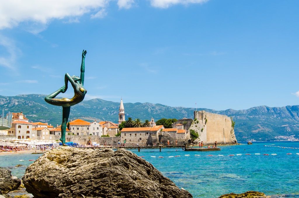
During shorter hikes in Budva, you can return to the city the same day or try to find something in one of the smaller villages in the municipality. These are mostly apartments, guest houses, or individual houses.
In my experience Montenegro has a good and even excellent level of housing and at the same time low prices for it. Pay attention only to construction sites—in winter they are active throughout the city, as well as heating: batteries and stoves are almost nowhere, usually it is air conditioning. Choose also a new building in the New Budva part of the city instead of an old ones in the center.
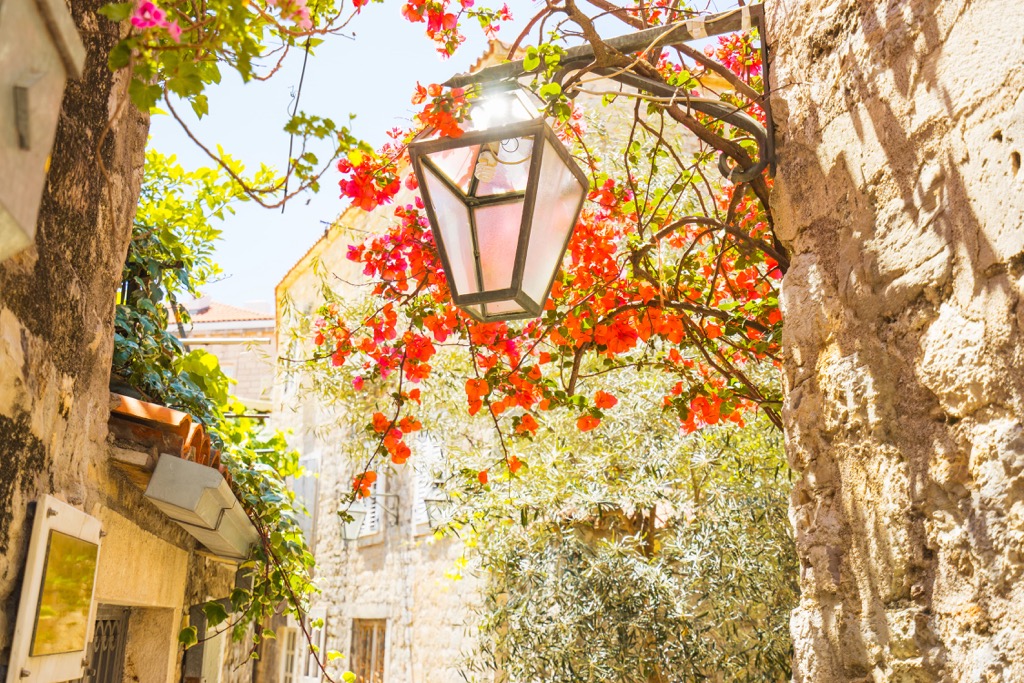
Despite its small size, Budva nevertheless ranks as 10th out of 25 municipalities of Montenegro in terms of population with 22,061 people (the capital Podgorica has 10 times as many) and is the main tourist center on the coast of the country on a par with Kotor and Tivat.
Apart from the Old Town, it’s not rich in sights, but it is famous for its many cultural and some sporting events such as the Budva harbor mass swim in mid-winter.
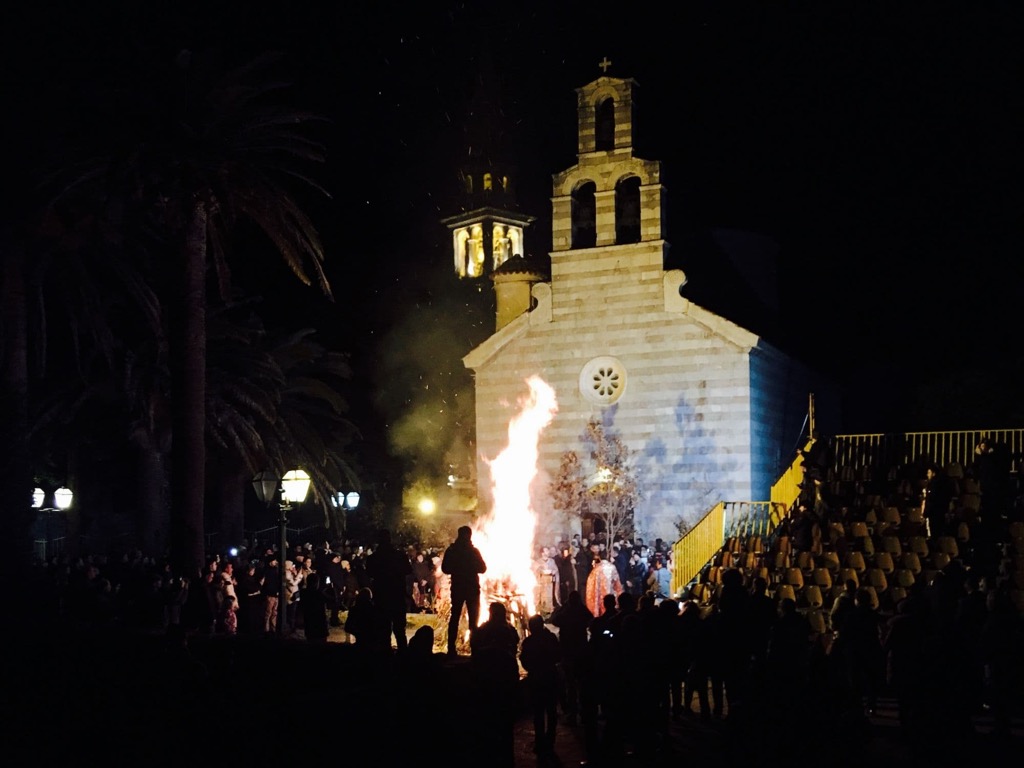
Various Christmas events are celebrated in Montenegro and Budva, including first and foremost Christmas Eve itself, which is called “Badnji dan”. This is a very interesting tradition, which I recommend visiting. In particular, on Christmas Eve morning men go to the forest (or market) to cut/buy branches of an oak tree called a “Badnjak” or Christmas Eve tree, which are then thrown into one huge bonfire. In Budva, they have it in front of the main church in the Old Town.
Just don’t get confused: Montenegro is an Orthodox country, so Christmas Eve is the 6th of January, and Christmas is the 7th of January.
Explore Opština Budva with the PeakVisor 3D Map and identify its summits.


