Get PeakVisor App
Sign In
Search by GPS coordinates
- Latitude
- ° ' ''
- Longitude
- ° ' ''
- Units of Length

Yes
Cancel
❤ Wishlist ×
Choose
Delete
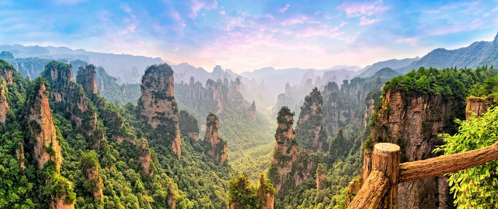
Hunan (湖南) is a province in central China that boasts world-class nature reserves and a storied cultural landscape. There are 339 named mountains in Hunan, with Shén Nóng Fēng(神农峰 / 酃峰 | 2,115 m / 6,939 ft) being the highest point. The most prominent mountain is Jiucai Ling (韭菜岭 | 2,009 m / 6,591 ft).
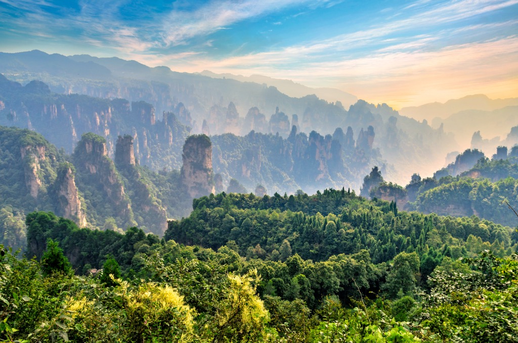
Hunan Province, literally “south of the lake,” is located in the south-central region of China over an area of 211,800 sq km (81,776 sq mi). It’s named after its location south of Dongting Lake (洞庭湖), which used to be the largest freshwater lake in China. The landlocked province is situated in the middle reaches of the Changjiang River (長江), surrounded by Hubei (湖北) to the north, Jiangxi (江西) to the east, Guangdong (广东) and Guangxi (广西) to the south, and Guizhou (贵州) to the west.
Hunan's elevated terrain is shaped like a horseshoe, enveloping the province in mountains to the east, south, and west. The eastern end is hemmed by the Luoxiao Mountains (羅霄山), while the western side is fringed by the Wuling Mountains (武陵山) and Xuefeng Mountains (雪峰山). On the southern side, the Nanling Mountains (南嶺) separate Hunan from Guangdong province.
In the north, the Dongting Lake Plain (洞庭湖平原) spreads out for thousands of miles. Most of it is less than 50 m (164 ft) above sea level, and the lowest point of the province is 23 m (75 ft). The surface area of Dongting Lake used to be 6,000 sq km (2,317 sq mi) but has shrunken to about 2,600 sq km (1,004 sq mi) because of sedimentation and widespread conversion to farmland. However, the size of the lake can fluctuate immensely depending on precipitation.

Hunan is also known as Xiang (湘), the name of the largest river within its borders. Originating from neighboring Guangxi, the Xiang River (湘江) meanders 856 km (532 mi) before emptying into Dongting Lake. The river’s lower reaches flow through the provincial capital, Changsha (長沙), in northeastern Hunan.
Lying between the latitudes of 24°38′ and 30°08′, Hunan has a humid subtropical monsoon climate with plenty of sunshine, though the mountains can occasionally receive a blanket of snow in winter. Annual precipitation ranges from 1,200 to 1,700 mm (47 to 67 inches), while the yearly average temperature is about 16°C - 18°C (61°F - 64°F).
Hunan's topography is rich and often dramatic. More than half of the province is mountainous, and while the mountains are not particularly high, they are widely admired for their striking formations.
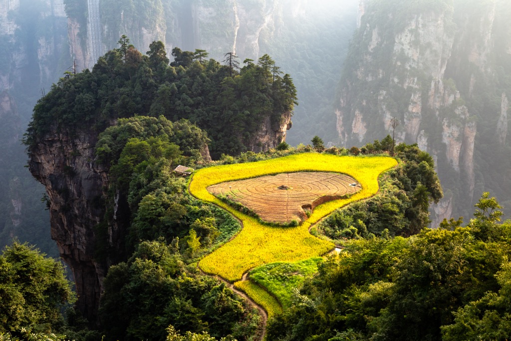
The province boasts two UNESCO Global Geoparks and numerous national geoparks, the most famous of which is Zhangjiajie UNESCO Global Geopark (张家界世界地质公园). Zhangjiajie is nicknamed "Avatar Mountains" because it resembles the floating peaks depicted in the blockbuster, although director James Cameron has said his fictional landscape is based on Huangshan (黃山).
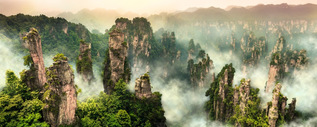
Known for its towering sandstone pillars, Zhangjiajie used to be a shallow sea with vast amounts of sediments, primarily sand grains that compressed and cemented into sandstone over time. About 300 - 250 million years ago, during the late Paleozoic Era, tectonic forces pushed the sediments upward, forming mountains that were subsequently worn away by erosion. Softer layers wore away more quickly, leaving behind harder, more resistant sections that became the pillars.
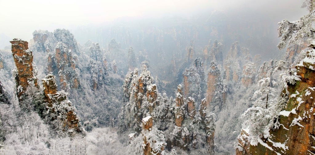
Another rock type commonly found in Zhangjiajie is limestone. Its dissolution by acidic rainwater has produced an intricate system of karst caves, including Huanglong Cave (or “Yellow Dragon Cave,” 黄龙洞), which is made up of two levels of dry caves and two levels of wet caves studded with stalactites and stalagmites.
The second internationally recognized geopark in the province is Xiangxi UNESCO Global Geopark (湘西世界地质公园) in northwestern Hunan. The park contains more than 80 rock types—mostly sedimentary—including oxidized sandstones that make up the world's largest karst Red Stone forest landscape.
While many parts of the province experienced tectonic uplift, some areas, such as the Dongting Lake area in northern Hunan, underwent subsidence. Despite its immense size, Dongting Lake is relatively shallow, with a depth of no more than 31m (102 ft). It is a flood basin of the Changjiang River, which introduces much sediment to the lake.
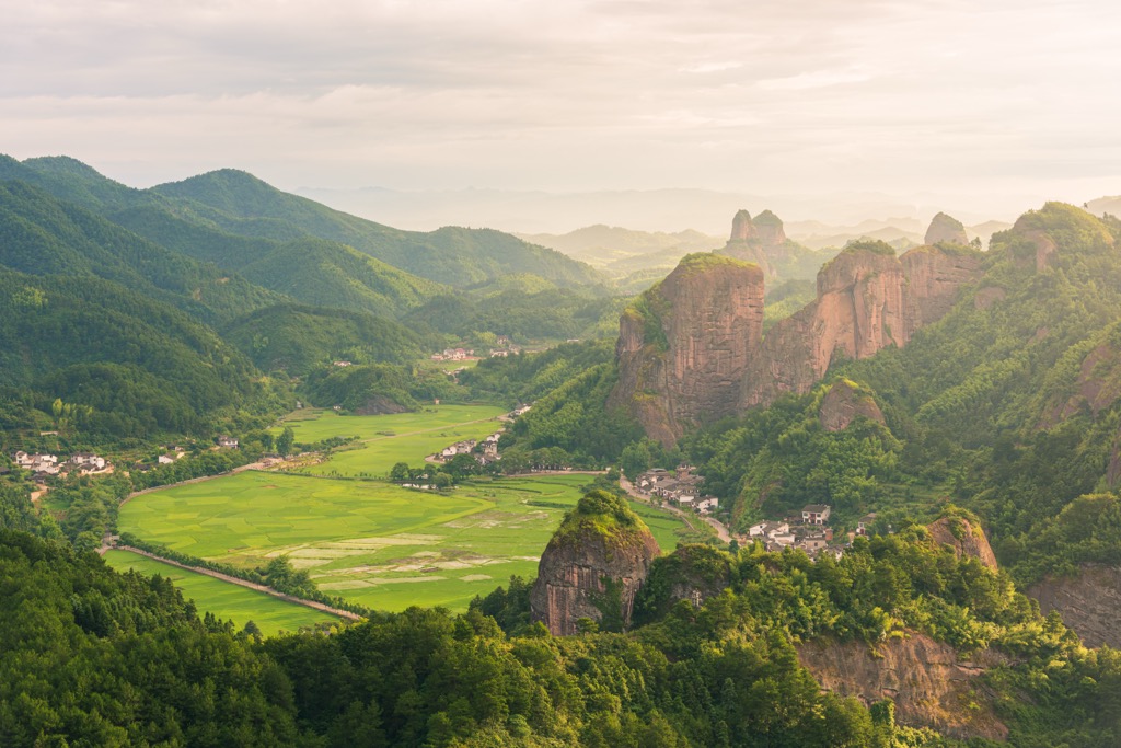
Hunan is recognized as one of China’s vital ecological zones. A subtropical monsoon climate, abundant sunshine, and water resources have woven a rich tapestry of biodiversity, nurturing a wide variety of flora and fauna.
Lush forests cover about 60% of Hunan’s land area. They include diverse tree species such as camphor, oak, and various conifers, including rare species such as Chinese swamp cypress (Glyptostrobus pensilis), water cedar (Metasequoia glyptostroboides), and Ziyuan fir (Abies ziyuanensis).
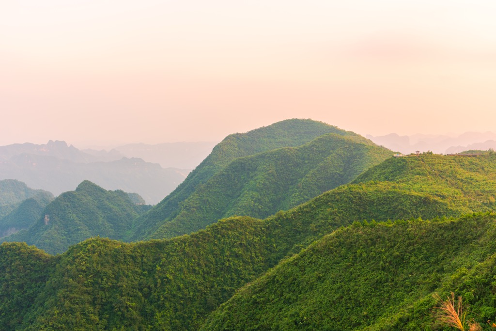
Hunan has extensive wetlands that account for about 10% of its land area. These wetlands play a crucial role in water management and flood control and support a wealth of aquatic life, including various species of reeds, lotus, and cattails. Lotus seeds grown in Hunan are considered the best and are a prized ingredient traditionally used in Chinese cuisine and medicine.
A remarkable 74% of Hunan’s wetlands are protected in numerous nature reserves, such as Songya Lake National Wetland Park (松雅湖国家湿地公园) and Yanghu National Wetland Park (洋湖国家湿地公园). Here, you can observe a myriad of bird species, including the rare scaly-sided merganser, considered the national duck of China, as well as the Eurasian spoonbill and silver pheasant.

The streams in the province are a critical habitat for the Chinese giant salamander, an iconic animal that can grow up to 1.8 m (6 ft) long and weigh up to 30 kg (66 lb), making it the largest amphibian in the world. Interestingly, its Chinese nickname “wawayu” (娃娃魚) means “baby fish” as the animal produces a sound similar to a baby's cry.
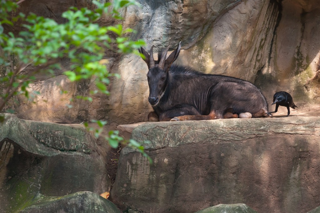
Furthermore, Hunan also hosts a diverse mammalian population, including the Chinese serow, a ruminant nicknamed “four unlike”(四不像) because its parts resemble those of deer, cows, sheep, and donkeys but are unrelated. Other protected species include the Chinese pangolin, black bear, and dwarf musk deer.
Modern humans in Hunan may date back 80,000 years ago, as suggested by the 2015 discovery of 47 human teeth in the Fuyan Cave (福岩洞), Dao County (道县). These teeth are considered the oldest evidence of anatomically modern humans outside of Africa, significantly pushing back the timeline of modern human migration into Asia. The discovery suggests that our ancestors reached this region much earlier than previously thought. However, the dating of these teeth has been challenged in genetic studies. Either way, Hunan has been home to anatomically modern humans for an exceedingly long time.
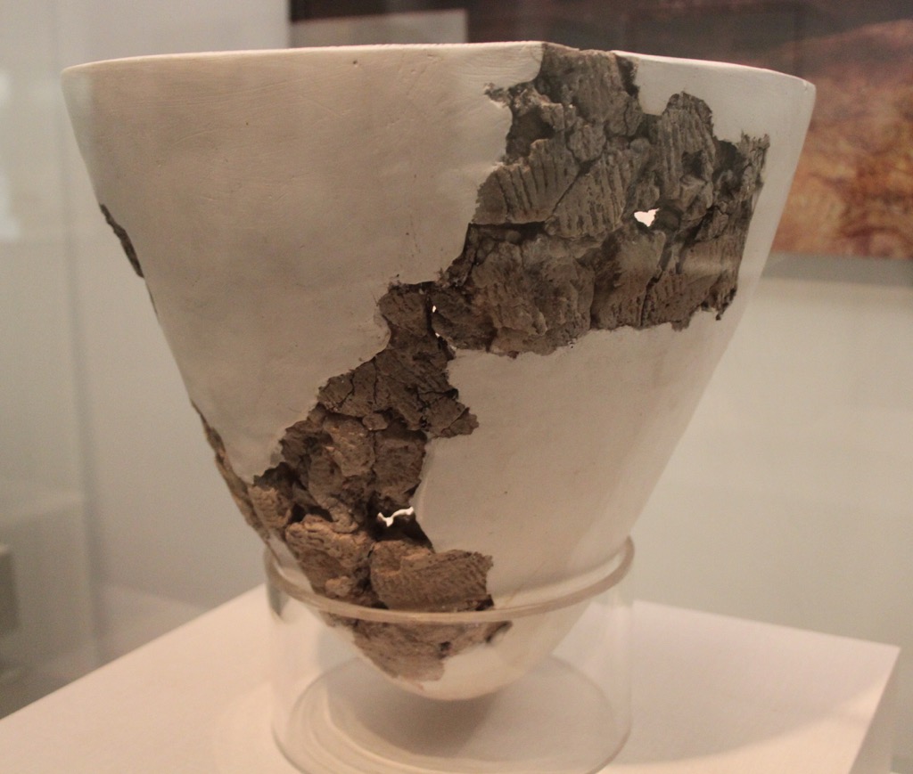
Another archaeological site in the same county, Yuchanyan Cave (玉蟾岩), yielded 18,000-year-old pottery fragments and 12,000-year-old rice kernels, among the oldest specimens found in the world. The cave is regarded as a link between cave-dwelling hunter-gatherers and the rice farmers who succeeded them.
About 3,000 years ago, the powerful state of Chu (楚國) rose to dominate much of central and southern China. Hunan was an integral part of the state, and its rich cultural heritage, including its distinctive music, poetry, and mythology, continues to influence Chinese culture today.
When Chu and five other states were defeated by the state of Qin (秦国) in 221 BC, Hunan was unified under imperial rule. The region's strategic location along the Changjiang River made it an important transportation hub and economic center. It was also a cultural hub with renowned scholars and thinkers emerging from its cities.
The Tang and Song dynasties (唐朝, 宋朝 618 - 1279) were periods of relative prosperity for Hunan. The region's economy flourished, and its cultural influence expanded. The Yuelu Academy (岳麓书院), a prestigious educational institution founded in 976, became a center of Confucian learning and attracted scholars from all over China.
The late Qing dynasty (清朝) marked a period of profound change for Hunan during the late 19th and early 20th centuries. The province became a hotbed of intellectual and social reform movements, and Hunanese natives like Mao Zedong (毛泽东), Liu Shaoqi (刘少奇), and Peng Dehuai (彭德怀) went on to play crucial roles in Chinese politics.
Currently, Hunan has a population of about 72 million, 60% of whom live in urban areas and 40% in rural areas. In addition to the majority Han ethnic group, more than 50 ethnic minority groups make up about 10% of the population.
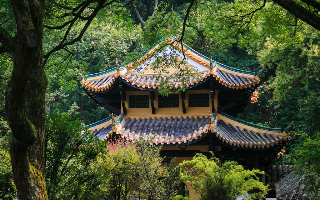
With its captivating natural beauty and historical treasures, Hunan draws crowds of domestic and international visitors alike to its many scenic areas and cultural monuments. Here is an overview of the premier destinations.
This UNESCO World Heritage site covers a vast expanse of 264 sq km (102 sq mi) and is composed of several interconnected scenic areas. The attractions are highly accessible, with shuttle buses, cable cars, a monorail, as well as well-marked hiking trails. One ticket covers the entire site and is valid for four days.
The most famous area of Wulingyuan is Zhangjiajie (张家界), or “Avatar Mountains.” Stunning viewpoints abound both at the top at Huangshizhai (黄石寨, elevation 1,080m / 3,543 ft) and at the bottom along the Jinbianxi Stream (金鞭溪).
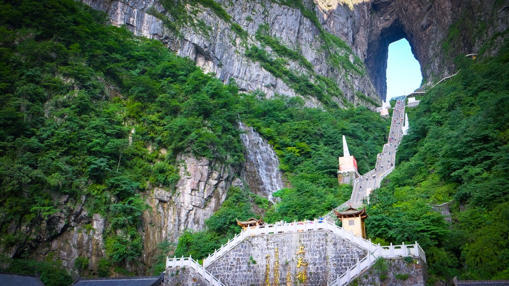
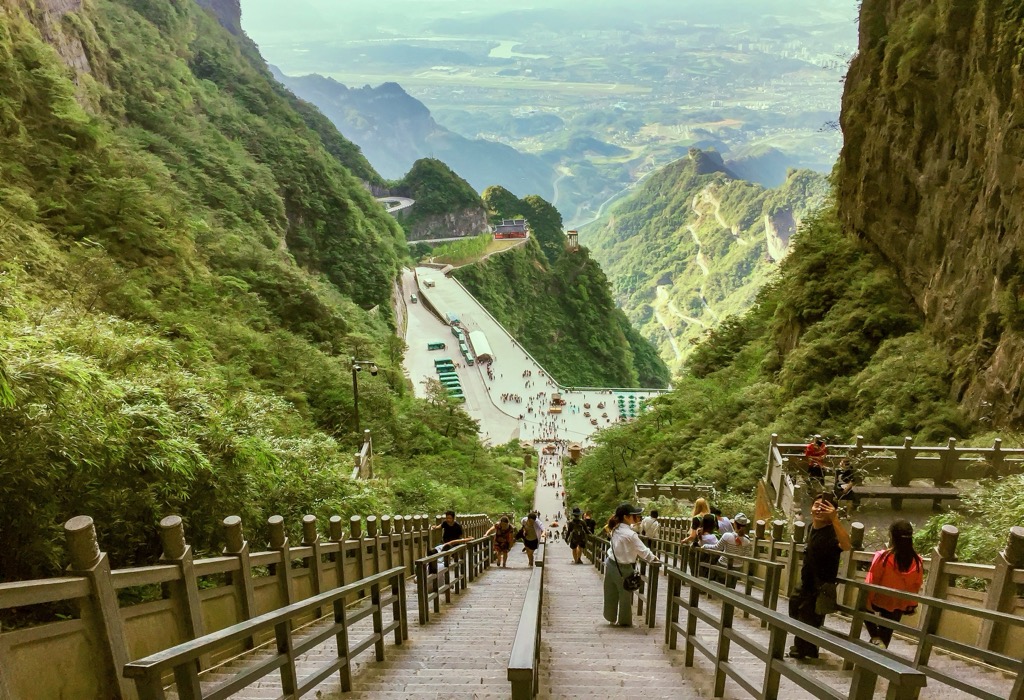
Another must-see at Wulingyuan is Tianmen Mountain (天门山), literally “Heaven's Gate Mountain.” It features an iconic natural arch, Tianmen Cave (天门洞), at the top of 999 stone steps, also known as the “stairway to heaven.”
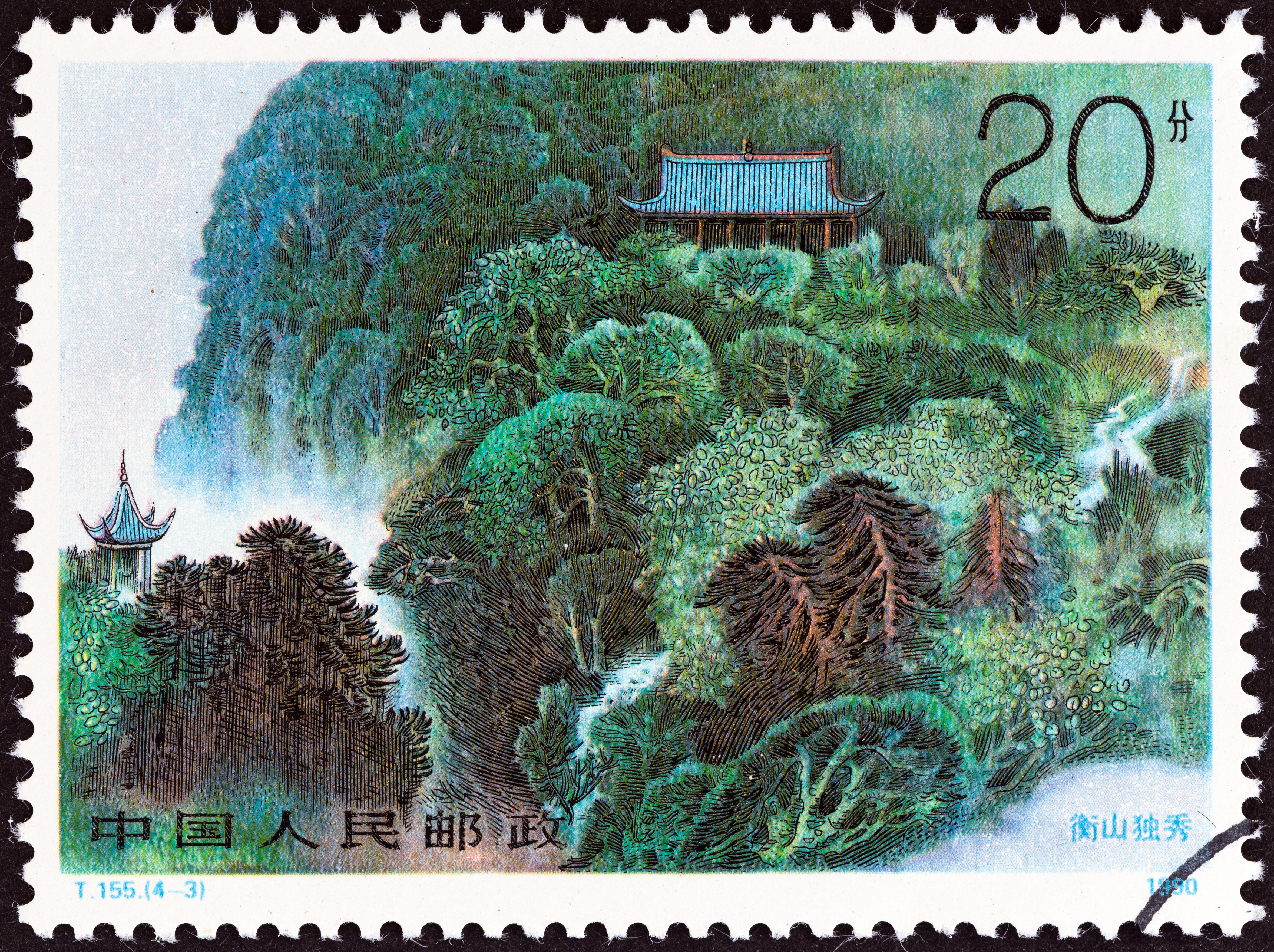
Mount Heng (or Hengshan) is one of the Five Great Mountains of China. It is actually a mountain range that sprawls over 640 sq km (247 sq miles) in southeastern Hunan. Since ancient times, the mountains have been revered by both Buddhists and Taoists. They are dotted with hundreds of temples, including the palace-style Nanyue Temple (南岳庙), which dates back to 725.
The main peak, Zhurong Mountain (祝融峰), stands at 1,300 m (4,232 ft) in elevation, and the route from the base to the summit is approximately 10 km (16 mi) long, taking around four to six hours for a return hike. The peak is topped by a temple dedicated to Zhurong (祝融), the God of Fire.
In the northwestern end of Mount Heng, Yuelu Shan (岳麓山) is another important peak. As part of the provincial capital, Changsha, it belongs to a different nature reserve - the Yuelu Shan Scenic Zone (岳麓山风景名胜区). It is home to many ancient maple trees, which turn flaming red each year from mid-November to mid-December.
Despite its mere height of 300 m (984 ft), Yuelu Shan is colossal in terms of cultural significance. In particular, the thousand-year-old Yuelu Academy (岳麓书院) on its foothills was one of the four most prestigious institutions of higher learning in ancient China.
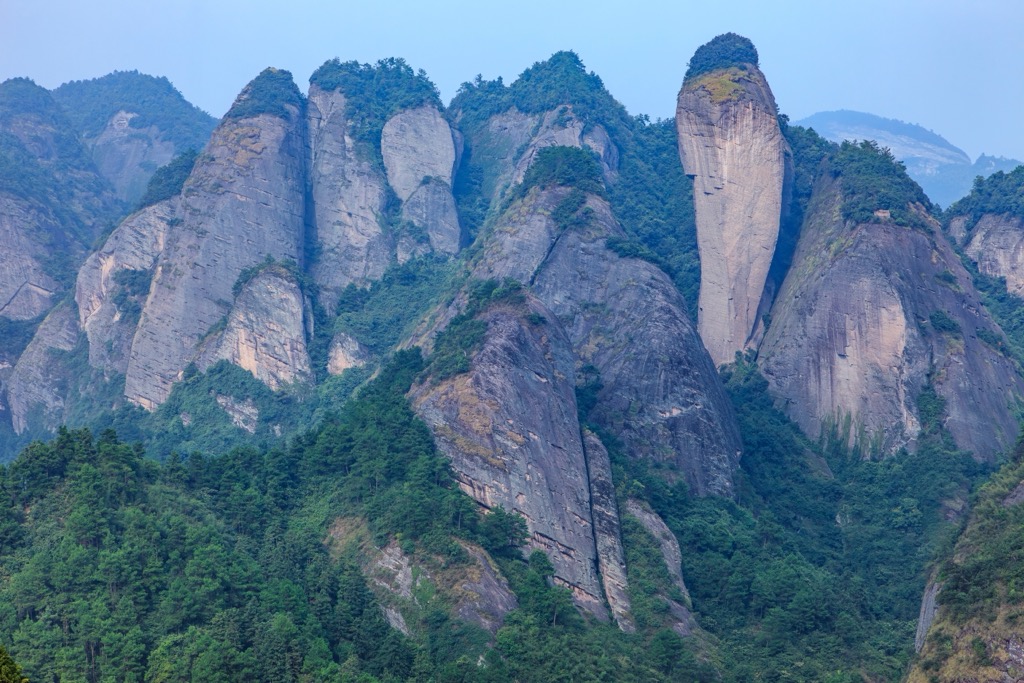
Nestled on Hunan’s southern border with Guangxi, the Langshan Scenic Area is renowned for its stunning Danxia landscape (丹霞地貌), characterized by red sandstone formations and steep cliffs sculpted by erosion and weathering over millions of years. These towering cliffs are often interspersed with lush vegetation that contrasts sharply with the striking red rock.
The area is divided into six scenic zones, each showcasing unique geological features, such as the octagonal peaks at Bajiaozhai (八角寨), the chili-shaped mountain at Lajiaofeng (辣椒峰), and the ravine-spanning natural rock bridge at Tianshengqiao (天生桥).
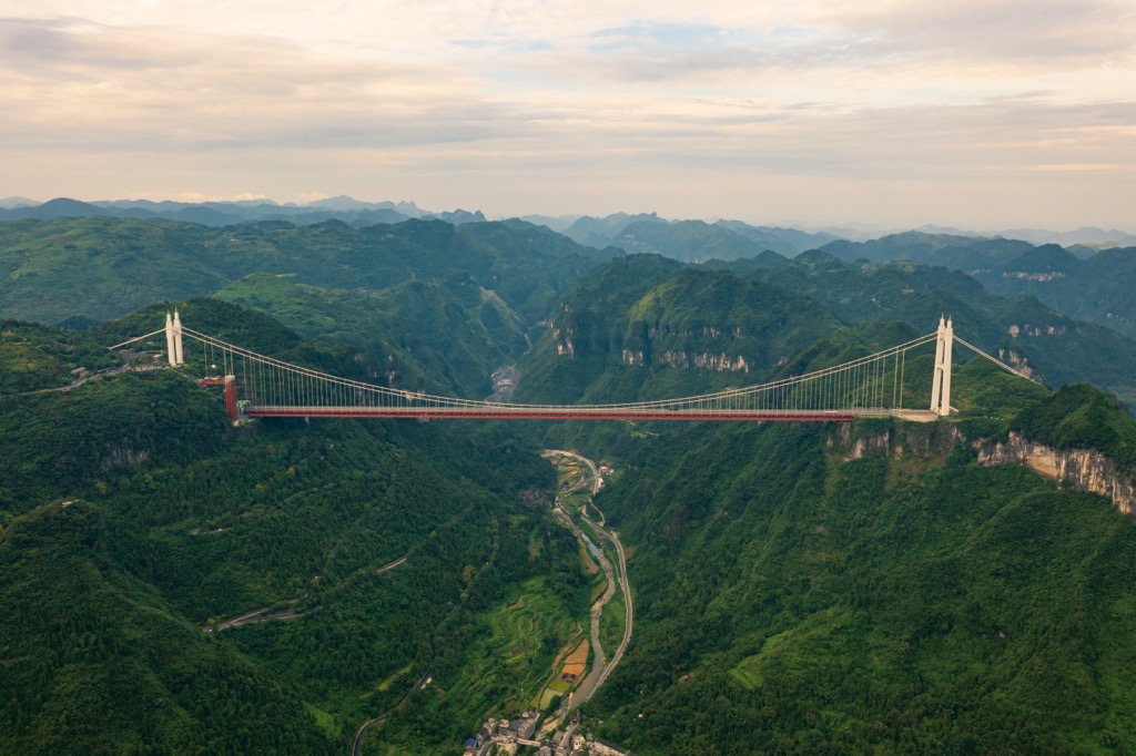
Located in the Xiangxi Tujia and Miao Autonomous Prefecture (湘西土家族苗族自治州), this scenic area sits at the core of Xiangxi UNESCO Global Geopark in western Hunan. As the name suggests, the area consists of three main components.
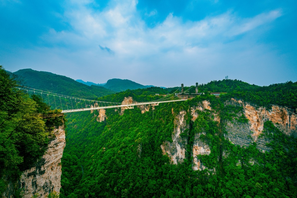
The star attraction of Aizhi (矮寨) is the Aizhai Suspension Bridge, an engineering marvel with a main span of 1,176 m (3,858 ft) and a height of 350 m (1,148 ft). It is the longest and highest tunnel-to-tunnel suspension bridge in the world.
Shibadong (十八洞) is a mountain village set in a spectacular karst landscape. Once a poverty-stricken rural backwater, the village has recently reinvented itself as a tourist drawcard that celebrates the traditional cultures of ethnic Tujia (土家族) and Miao (苗族) peoples.
Dehang Grand Canyon (德夯大峡谷) is a classic karst landform that stretches about 48 km (30 mi). One of its highlights is Wentiantai (问天台), a flat-topped peak isolated from other mountains by streams at the bottom. It was featured in the Hollywood movie Wonder Woman.
Hunan abounds in historical gems in the form of ancient towns, especially in the western part of the province. A prime example is Fenghuang Ancient Town (凤凰古城) founded in 1704. Set along the picturesque Tuojiang River (沱江), the town is an ensemble of well-preserved stilt houses, old stone bridges, and narrow cobblestone streets.
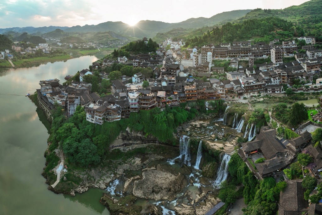
Another beautiful town is the 2,000-year-old Furong Ancient Town (芙蓉镇), perched on a cliff above breathtaking waterfalls. Most residents are Tujia minority people (土家族) who have preserved their age-old traditions. Compared to Fenghuang Ancient Town, Furong is less commercialized and more authentic.
Changsha (长沙), the capital of Hunan, is a progressive city with a population of over ten million. Historically significant for 3,500 years, the city hosts national treasures such as the Yuelu Academy (岳麓书院) and the Mawangdui Han Tombs (马王堆汉墓) that contain the oldest mummified body found in China.

In recent years, Changsha has developed a thriving entertainment industry that has gained national prominence. Central to this phenomenon is the Hunan Broadcasting System (湖南广播电视台), a key player in Chinese media known for producing big-hit reality shows and talent competitions that redefined entertainment in the country.
For a taste of local culture, head to the bustling Huangxing Road Walking Street (黄兴路步行街) for street food and a vibrant atmosphere. For those who love bold flavors and spiciness, don’t miss trying Hunan cuisine with signature dishes like spicy fish and stinky tofu.

Explore Hunan with the PeakVisor 3D Map and identify its summits.

