
Scan the QR code and open PeakVisor on your phone
Hertfordshire is one of the 48 ceremonial counties of England. Located directly north of London, Hertfordshire's rolling hills, meandering rivers, and charming market towns make it perfect for escaping England's crowded capital. There are 123 named mountains in Hertfordshire. Hastoe Hill (236 m / 774 ft) is the highest point. The most prominent mountain is White Hill (169 m / 554 ft).
Hertfordshire, or simply Herts, is the 36th largest county in England, encompassing 634 sq mi (1,640 sq km). Five other counties border Hertfordshire: Cambridgeshire to the east, Essex to the southeast, Greater London to the south, Buckinghamshire to the west, and Bedfordshire to the northwest.
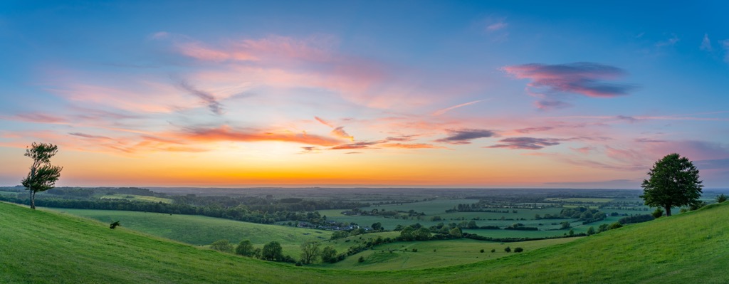
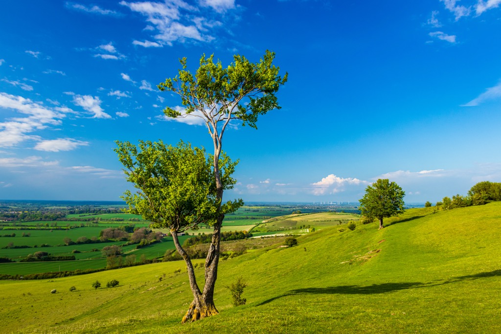
A part of the London Basin, Hertfordshire is relatively flat — there are no mountains, and only three hills exceed 200 m (656 ft) in elevation.
On the London Basin's rim is the Chiltern Hills, a chalk escarpment that runs from southwest to northeast across Hertfordshire. As a result, the western side of Hertfordshire is hilly, with the county's highest points around Tring and Berkhamsted. The Chilterns National Landscape (AKA the Chiltern Hills AONB) begins just west of Hitchin and stretches for 60 km (37 mi) southwest to the River Thames.
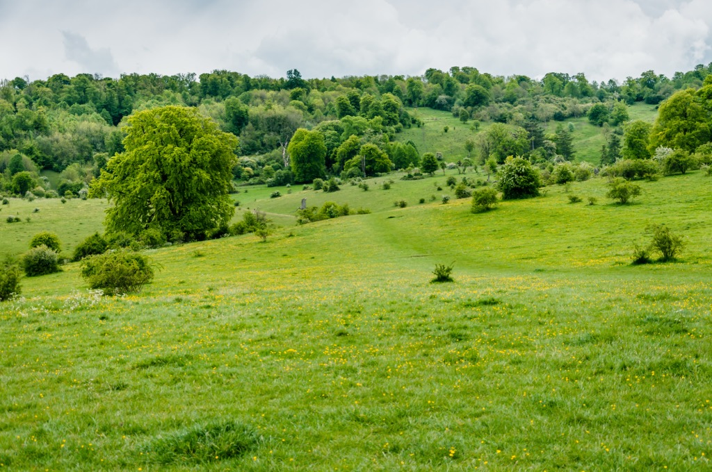
Around 80% of Hertfordshire is rural — surprising, given its proximity to London. The countryside is quite diverse, with beech forests and chalklands in the west and claylands in the east near Braughing. This lack of urbanization is due to the Metropolitan Green Belt encircling London, which aims to protect green spaces, prevent unchecked urban sprawl, and preserve historic towns.
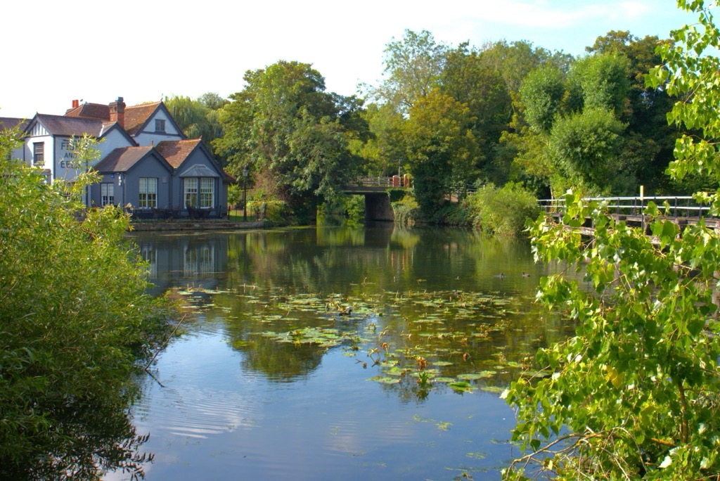
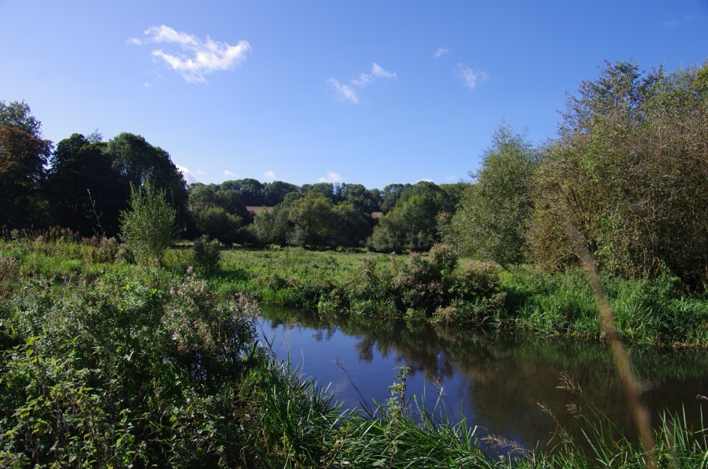
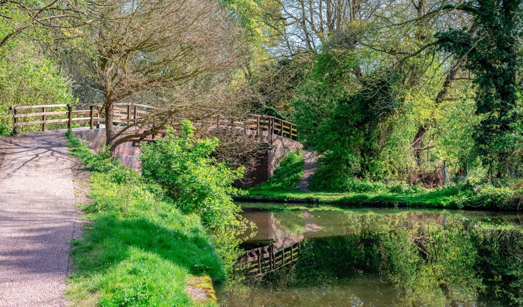
The Thame's easternmost tributary, River Lea, begins in Bedfordshire and flows for 42 mi (68 km) through Hertfordshire. It's Hertfordshire's longest river, forming the Lea Valley through the south of the county. The Lee Valley Regional Park is a 26-mile (41.8 km) long linear park along the River Lea worth visiting in Hertfordshire.
There are no extensive bodies of water in Hertfordshire — the largest lake is Broadwater Lake in the Mid Colne Valley, which has a surface area of around 197 acres (80 ha). The River Colne, on the western side of Broadwater Lake, is a chalk river. Chalk rivers are a rare occurrence — there are only 220 chalk rivers worldwide.
Despite its small size, Hertfordshire is among England's most densely populated counties — it has a population of over 1,200,000. The largest town in Hertfordshire is Watford, with a population of roughly 131,300. Hertford is the county town of Hertfordshire, with a population of over 26,000.
Hertfordshire is part of the London Basin, a sedimentary basin over 160 mi (250 km) long that spans from the Chilterns and Marlborough Downs in the north to the North Downs and Berkshire Downs in the south.
The basis of the London Basin is chalk, which formed while the area lay under a shallow, warm sea around 65 million years ago. Then, tectonic movements caused by the Alpine Orogeny caused the young, brittle rocks of the London Basin to fold downwards, creating a depression known as a syncline.
The Alpine Orogeny is a mountain-building event that began around 66 million years ago and helped create major mountain ranges stretching from Europe to Asia, including the Alps. The Alpine Orogeny is ongoing in some parts of the world.
The London Basin then filled with layers of sediment from the Palaeogene, the oldest of which is sand interspersed with clay and silt from the Thanet Formation, which is around 55 million years old.
The London Clay Formation is the most famous of the London Basin's sediments as it's rich in fossils. Over 350 named plant species have been identified in London Clay, making the London Clay among the most diverse for flora fossils globally.
A small group of Gault Clay and Upper Greensand at the base of the Chiltern Hills near Tring and Ashwell are the oldest exposed rocks in Hertfordshire, dating back 100 million years.
Roughly 66% of Hertfordshire is part of the protected Metropolitan Green Belt, making it a convenient getaway destination for Londoners looking to reconnect with nature.
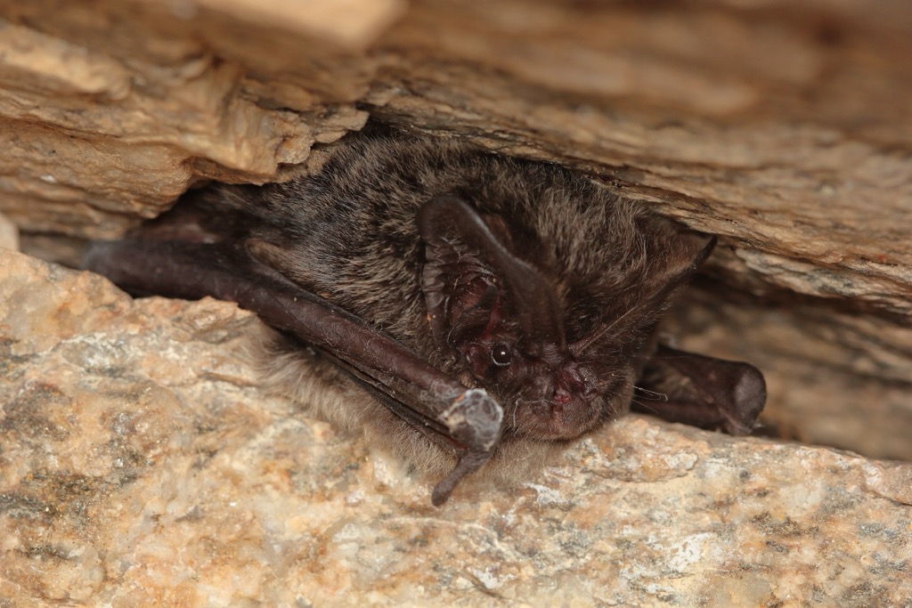
The red deer is the largest mammal in Hertfordshire— and Great Britain—weighing as much as 200 kg (440 lb). The most common mammals in Hertfordshire include rabbits, grey squirrels, brown hares, European hedgehogs, and field voles. Ten of Britain's 18 bat species reside in Hertfordshire, including common pipistrelles, brown long-eared bats, and barbastelles.
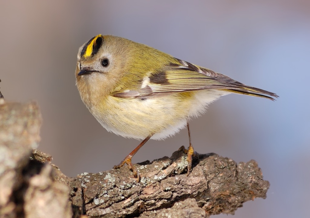
The Herts Bird Club has recorded 313 bird species in Hertfordshire. Species that visit back gardens across the county include chiffchaffs, goldcrests, yellowhammers, siskins, cuckoos, pied flycatchers, and lesser redpolls. Birds of prey that circle in the skies above Hertfordshire include red kites, peregrine falcons, short-eared owls, western marsh harriers, and common buzzards. Smews and goldeneyes are among the rare winter residents on Stocker's Lake in the Mid-Colne Valley.
The adder is the only venomous snake in Great Britain and is active in Hertfordshire between March and October. Their bite is painful and requires medical attention, but it's only serious to vulnerable people like children or the ill. Other Hertfordshire reptiles and amphibians include common lizards, grass snakes, palmate newts, and marsh frogs.
Hertfordshire's rural landscapes are home to various insects and arachnids, including 37 resident butterfly species. Examples of Hertfordshire insects and arachnids include dark bush crickets, meadow grasshoppers, blue adonis butterflies, Duke of Burgundy butterflies, zebra jumping spiders, and false widow spiders.
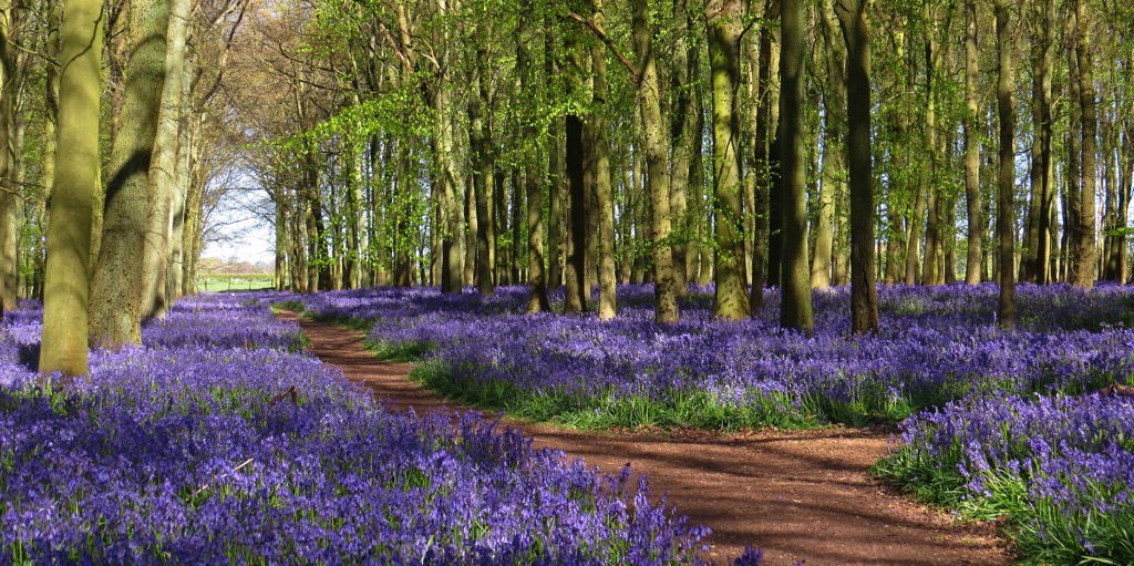
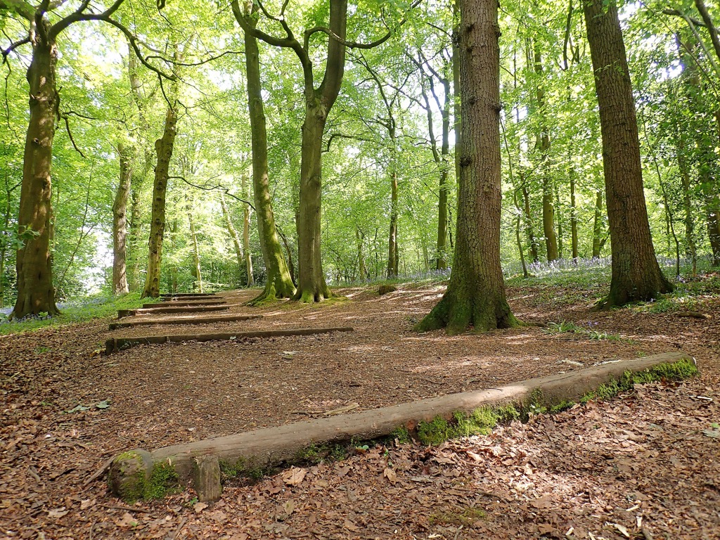
Approximately 11% of Hertfordshire is woodland; however, this number was once much higher. Hertfordshire has lost around 35% of its woodlands since 1970. Hertfordshire's most common tree species include European ashes, common hawthorns, English oaks, silver birches, beeches, and sycamores. The Lea Valley is home to ancient hornbeam coppices.
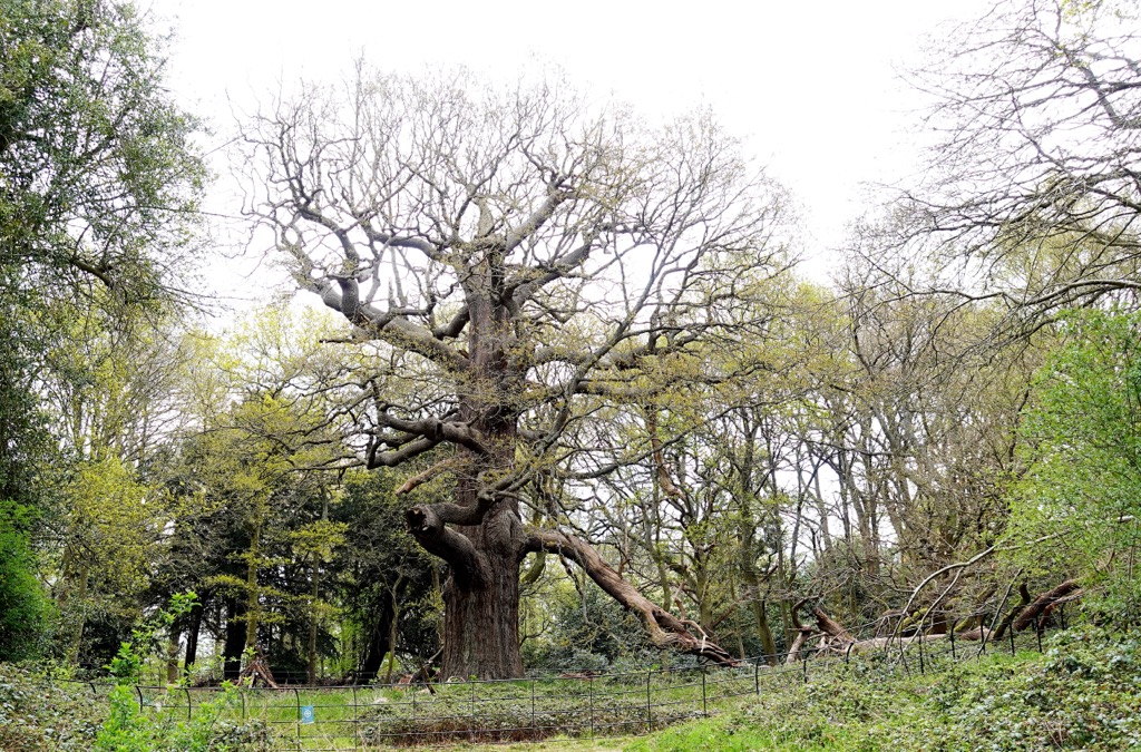
The Panshanger Great Oak is the largest tree in Hertfordshire — it stands at around 20 m (65 ft) tall with a circumference of 8 m (26 ft). It's over 500 years old, and legends say it was planted by Queen Elizabeth I.
Pasqueflowers are endemic to Hertfordshire and are the county flower. Wildflowers that grow across the county's meadows and within its woodlands include yellow pimpernel, knapweed, common self-heal, rough hawkbit, red campion, wild carrot, and yarrow.
The hiking history of Hertfordshire dates back to prehistory with the development of ancient long-distance trails like the Icknield Way and the Ridgeway.
The Icknield Way is one of Great Britain's oldest trails. It's unclear exactly when it was developed, but it's believed to predate the Roman conquest of Britain and may be named after the Iron Age Iceni Tribe. The Ridgeway is even older — historians cite it as being Britain's oldest road. It's been used by travelers and traders for at least 5,000 years as a reliable route between Dorset and Norfolk.
While people have roamed the Hertfordshire countryside out of necessity for thousands of years, recreational hiking didn't become popular until the 18th century. The rise of Romanticism helped change people's views on nature, with poets such as William Wordsworth and John Keats enjoying walking tours and writing about rambling in their poetry. Scottish priest Thomas West's Guide to the Lakes about hiking in the Lake District was also instrumental in popularising hiking for pleasure.
Hiking continued its rise in popularity following the Industrial Revolution, with the countryside providing a much-needed change of scenery for factory workers. Until the early 20th century, the "right to roam" parts of the English countryside was a contentious issue between hikers and private landowners.
Political activism for the right to access certain privately owned areas of land culminated in the mass trespass of Kinder Scout in 1932, a protest that paved the way for the National Parks and Access to the Countryside Act 1949. Due to this legislation, the UK's first national park, the Peak District National Park, opened in 1951, helping Great Britain's landscape become more accessible.
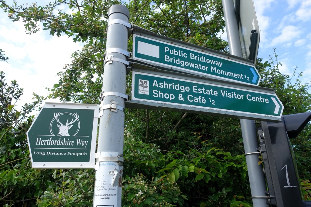
In 1964, around half of the Chiltern Hills, including parts in Hertfordshire, were designated as an Area of Outstanding Natural Beauty (AONB). In 1996, the Hertfordshire Way was established to celebrate the 60th anniversary of the Ramblers Association. The first official guide was published in 1998.
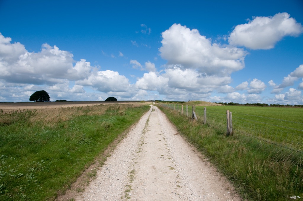
Hertfordshire is a great hiking destination for casual ramblers — most trails are family-friendly and well-marked. You can even bring your dog along on most Hertfordshire trails. Paths can be muddy in Hertfordshire - especially along river banks - so bring hiking boots or wellies.
The Chess Valley Walk is a classic Hertfordshire trail leading along the River Chess through the Chiltern Hills.
Widely regarded as one of the most picturesque areas of the Chilterns National Landscape, the Chess Valley includes many historic sites, including the Roman Villa at Latimer, the 13th-century Chenies Manor, and the last commercial watercress beds in Hertfordshire at Sarratt. Watch for local wildlife in the Chess Valley, including kingfishers, red kites, brown trout, and orchids.
You can pick up the linear Chess Valley Walk from Rickmansworth Park or Chesham Underground Station. The route is well-signposted. The Chess Valley Walk between Latimer and Chenies Bottom sometimes floods, so bring waterproof footwear. If water levels are too high, you can divert to the Upper Chess Valley Walk.
The Chess Valley Walk is approximately 10 mi (16 km) long. You can shorten the walk by starting from Chalfont & Latimer and Chorleywood underground stations. A full route description is available on the Chilterns National Landscape website.
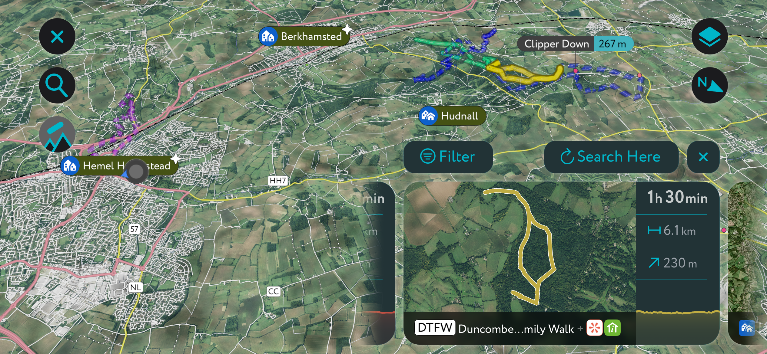
A walk around Tring Park, taking in views of the surrounding Chiltern Hills in the shade of semi-natural beech woodlands, is one of the finest walks in Hertfordshire. Plus, this route lets you bag Hertfordshire's county top, Hastoe Hill (236 m / 774 ft). The hill’s summit is unremarkable, with no marker or trig point.
You can start this walk from the Tring Park Car Park or Tring High Street. The trail leads over the A41 footbridge, climbing spiral stairs to reach the Summerhouse. Then, you'll follow clear paths, keeping left to pass the Obelisk. After the Obelisk, take a sharp right heading towards Marlin Hill. This section follows part of the Ridgeway called the King Charles II Ride.
Along the Ridgeway is a small clearing with an information board that provides panoramas of the Chilterns. You'll also have views of the 17th-century Tring Park Mansion, which King Charles II visited on several occasions. From Marlin Hill, turn right onto Church Lane and then right again onto the Hastoe Grove trail.
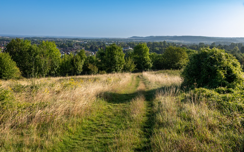
Around halfway along the trail is the top of Hastoe Hill. The trail comes out at the end of Hastoe Lane, near your starting point. This walk around Tring Park and Hastoe Hill is approximately 4 miles (6.5 km) long. A full route description is available on the CPRE Hertfordshire website.
Resting on the Hertfordshire and Bedfordshire border is the 79-hectare (200-acre) Pegsdon Hills and Hoo Bit Nature Reserve. It's one of the highlights of the Chilterns National Landscape, home to meadows of wildflowers and various animals like fallow deer, skylarks, wheateaters, and grizzled skipper butterflies.
On the edge of Pegsdon Hills and Hoo Bit is Deacon Hill (172 m / 564 ft), which provides panoramas of the surrounding hills, with the chance of seeing some rare flora and fauna. Telegraph Hill (189 m / 620 ft), the fourth-highest and third-most prominent hill in Hertfordshire, is another popular hiking destination within a mile of Deacon Hill.
You can take this looped trail to Deacon Hill from the Pegsdon Hills Parking Area. Head south, crossing Barton Road, and follow the trail south into the Pegsdon Hills Nature Reserve. Climb straight uphill through a gate, keeping the fence on your left.
From Deacon Hill’s trig point, you’ll descend a clear path to the right. Turn left at the bottom of the hill, cross a meadow, and pass over a stile to a B-road.
Across the road is a bridleway running along the woodland’s edge, which leads to a junction above Knocking Hoe Nature Reserve. Turn left at the junction and continue along the path, staying on the left before turning right to remain on the edge of the fields. When you reach a paved lane, turn left and follow it back to Pegsdon village and your starting point.
This Deacon Hill walk is approximately 3.5 mi (5.6 km) long. You can find a map of this route on the Chilterns National Landscape website.
Cassiobury Park is one of the best spots to escape Watford's busy town center. Positioned just west of Watford’s center, Cassiobury Park offers 190 acres (77 ha) of woodlands and open fields along the River Gade and Grand Union Canal.
One of Cassiobury Park's most popular circular walks leads through Whippendell and Harrocks Woods. Whippendell Wood is an ancient woodland home to lime trees dating back to the mid-17th century. It's a refuge for bird species like tawny owls and green woodpeckers away from nearby urban areas. Harrocks Wood is known for its bluebells, which you can enjoy in spring.
This family-friendly looped trail starts and ends at the Whippendell Wood Car Park. Parking is free. From the car park, the route crosses into Harrocks Wood, before following Footpath 31 to Cassiobury Park and through Herts Golf Course.
You’ll then stroll along the Grand Union Canal and the River Gade, crossing over at Bridge 168. Then you’ll pass over the River Gade into the Cassiobury Nature Reserve. Head north, cross over on Bridge 167, and follow Footpath 30 back across the golf course and to your starting point.
This Cassiobury Park walk is approximately 4.8 mi (7.8 km) long. You can find a detailed description of this walk on the CPRE Hertfordshire website.
Created in 1996, the Hertfordshire Way is a 194-mile (312 km) circular walk around the entirety of Hertfordshire, taking in its historic settlements and untouched landscape. Along your way, you'll visit the cathedral city of St Albans, explore the Chiltern Hills National Landscape, and pass over Hertfordshire's county top, Hastoe Hill.
The Hertfordshire Way is waymarked with green and white arrows. You can complete the Hertfordshire Way clockwise or counterclockwise, but the official guidebook suggests undertaking it counterclockwise. You can find a detailed description of each leg's route here.
The Hertfordshire Way has been extended to include an alternative route from Cuffley to Hertford, passing through Broxbourne and along the Lea River, expanding the route by about 12 miles (20 km).
Some of the best legs are St Albans to Markyate, which climbs into the Pegsdon Hills, and Royston to Wallington, which includes a hike over Therfield Heath to a chalk escarpment that provides far-reaching views of Cambridgeshire and the Fens.
The Hertfordshire Way is split into 14 legs between 11 mi (17 km) and 15 mi (24 km) long:
At PeakVisor, we love information. That’s why we write articles like this one.
Check out the PeakVisor app for even more information on thousands of additional hikes, ski tours, and ski resorts across the world. In fact, we’ve compiled information on all publicly maintained walking tracks worldwide, formatted onto our 3D maps.
PeakVisor started as a peak identification tool—you’ll have noticed the photos throughout this article—but we’ve evolved into purveyors of the finest 3D maps available. We continue to expand our offerings. You can track your hikes directly on the app, upload pictures for other users, and keep a diary of all your outdoor adventures.
Most recently, the PeakVisor App has included up-to-date weather reports, including snow depths, at any destination. We've also been hard at work adding the details of hundreds of mountain huts, including information on overnight accommodation, dining options, and opening hours. You can also use our Hiking Map on your desktop to create .GPX files for routes to follow later on the app.
Hertfordshire has countless laid-back towns and villages within a stone’s throw of England's capital.
Some of the best small towns to visit in Hertfordshire include Welwyn Garden City, Berkhamsted, Hitchin, and Harpenden.
London Heathrow Airport, the busiest airport in the UK, is just 24 mi (38 km) south of Watford. London Luton Airport is the nearest international airport to Hertfordshire, located on the county line with Bedfordshire.
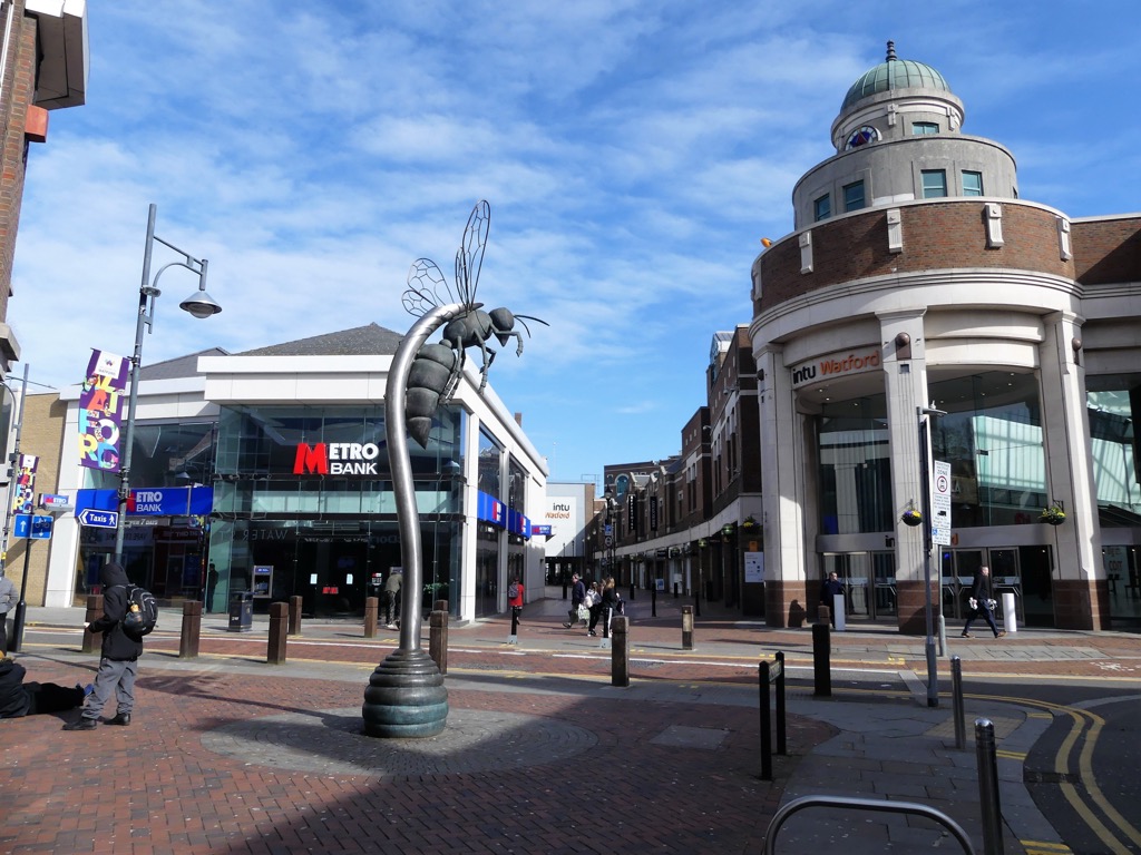
Watford is Hertfordshire's largest town, with a population of over 102,000. It's part of the London metropolitan area, just 15 mi (24 km) north of Central London. It's a stop on the London Underground and has five train stations connecting it to London, Birmingham, Milton Keynes, and St Albans.
Despite its size, Watford features several nearby green spaces, from Cassiobury Park to Merry Hill (136 m / 449 ft) in Bushey to the Sarrat Nature Reserve. Watford is just a short drive from many popular hiking areas, with Ivinghoe Beacon, the Pegsdon Hills and Hoo Bit Nature Reserve, and Beacon Hill (274 m / 899 ft) all less than 30 mi (48 km) away.
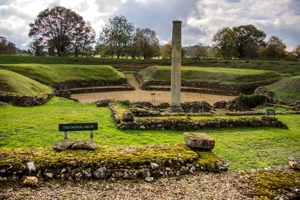
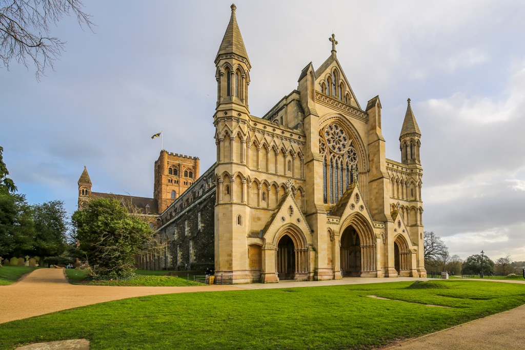
St Albans is Hertfordshire's only city, with a population of just over 82,000. It's a historic settlement founded by the Romans in the 3rd or 4th century, known then as Verulamium. St Albans' most famous landmark, St Albans Cathedral, originates from the 8th century.
With its fascinating past, excellent transport links, and large green spaces, St Albans ranks among Hertfordshire's best places to live. Situated 8 mi (13 km) northeast of Watford, St Albans is less than 20 mi (32 km) from the Chilterns National Landscape, where you'll find many of the county's best hill walks.
Hemel Hempstead is Hertfordshire's second-largest town, with a population of around 96,000. Like St Albans, Hemel Hempstead is a historic settlement — it was founded by the Anglo-Saxons and appears in the 11th-century Domesday Book.
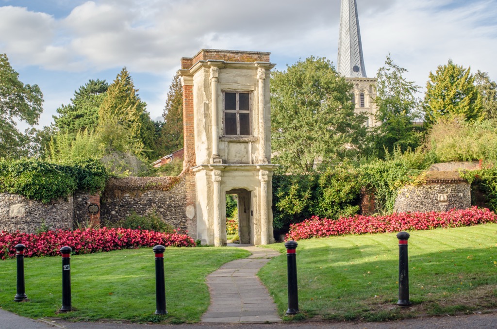
One of Hemel Hempstead's main attractions is its Old Town, with its cobbled streets and historic buildings — parts of the Old Bell Pub date back to the early 17th century. Hemel Hempstead is the closest major town to the Chilterns National Landscape in Hertfordshire. It's situated less than 13 mi (21 km) from Tring.


