Get PeakVisor App
Sign In
Search by GPS coordinates
- Latitude
- ° ' ''
- Longitude
- ° ' ''
- Units of Length

Yes
Cancel
❤ Wishlist ×
Choose
Delete
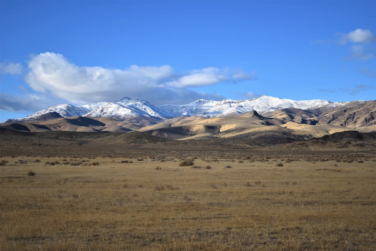
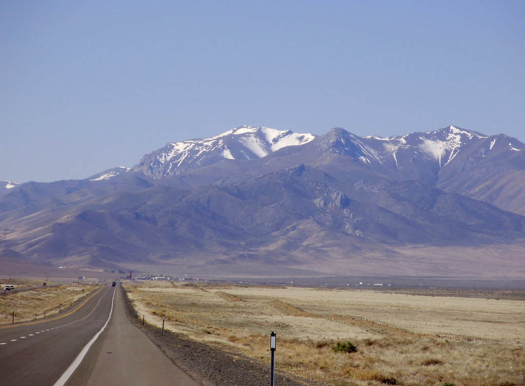
The Humboldt Range is located in northwestern Nevada in the United States. The range runs mostly north to south across this region of the state. There are 22 named mountains in Humboldt Range. The highest and the most prominent mountain is Star Peak at 9,920 feet, located in the central region of the range. The range runs along Highway 80, making them visible to travelers throughout the state. Many mountain ranges within the area are much smaller, offering less outdoor activities. However, the Humboldt Range, along with its high elevation, allows for continuous flowing watersheds and activities to be done throughout the year. To the west of the range lies the Humboldt River.

Mule deer and a variety of fish call this range home with many of them also living south within the Humboldt Wildlife Management Area. In the middle of the range lies the Fourth of July Flat, amidst the rugged peaks. The surrounding area isn’t very populated though there are a few abandoned ghost towns along the base of the Humboldt Range. Unionville, now with a population of 20 people, is a historical old town which was once home to the famous writer Mark Twain. Another historical town is Star City, though it too is now abandoned.
While there are not many marked trails through this mountain range, many of the forest roads and abandoned towns offer unmaintained trails to explore.
Star Peak: The hike to the tallest summit in the Humboldt Range is no easy feat. The trail totals 11.1 miles with 3,992 feet of elevation gain. Much of the trail follows an old service road that is overgrown with sections. Throughout the climb up to the summit, hikers have views of the surrounding valleys and the Humboldt Range stretching out before them. The summit offers panoramic views of the western Nevada with the Humboldt Wildlife Management Area and the Rye Patch State Recreation Area in the distance.

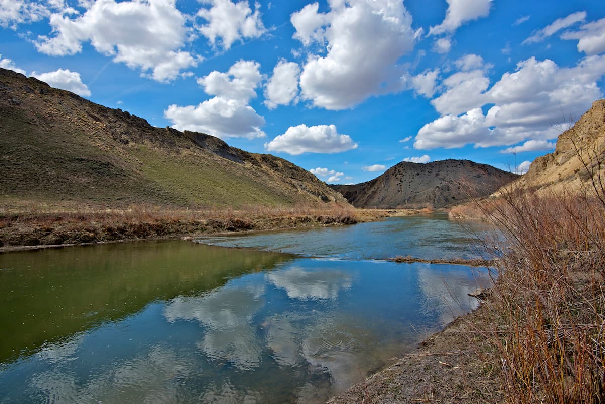
Rye Patch River Nature Trail: Just east of the Humboldt Range lies the Rye Patch State Recreation Area. This 0.5-mile hike has just 26 feet of elevation gain and follows along the Humboldt River. Though short, the trail offers great views of the river with the Humboldt Range towering to the east.
At the northern end of the Humboldt Range lies the city of Winnemucca. The city has an estimated population of 7,750 people. The city is named after Chief Winnemucca who led the Northern Paiute tribe of the region. The city was established during the late 1800s when the Central Pacific Railroad reached the region. Located along Highway 80, Winnemucca is located about halfway between San Francisco, California and Salt Lake City, Utah. The close proximity to the Humboldt Range, and other mountains in the region make it a perfect small town to stop in after a day of exploring.
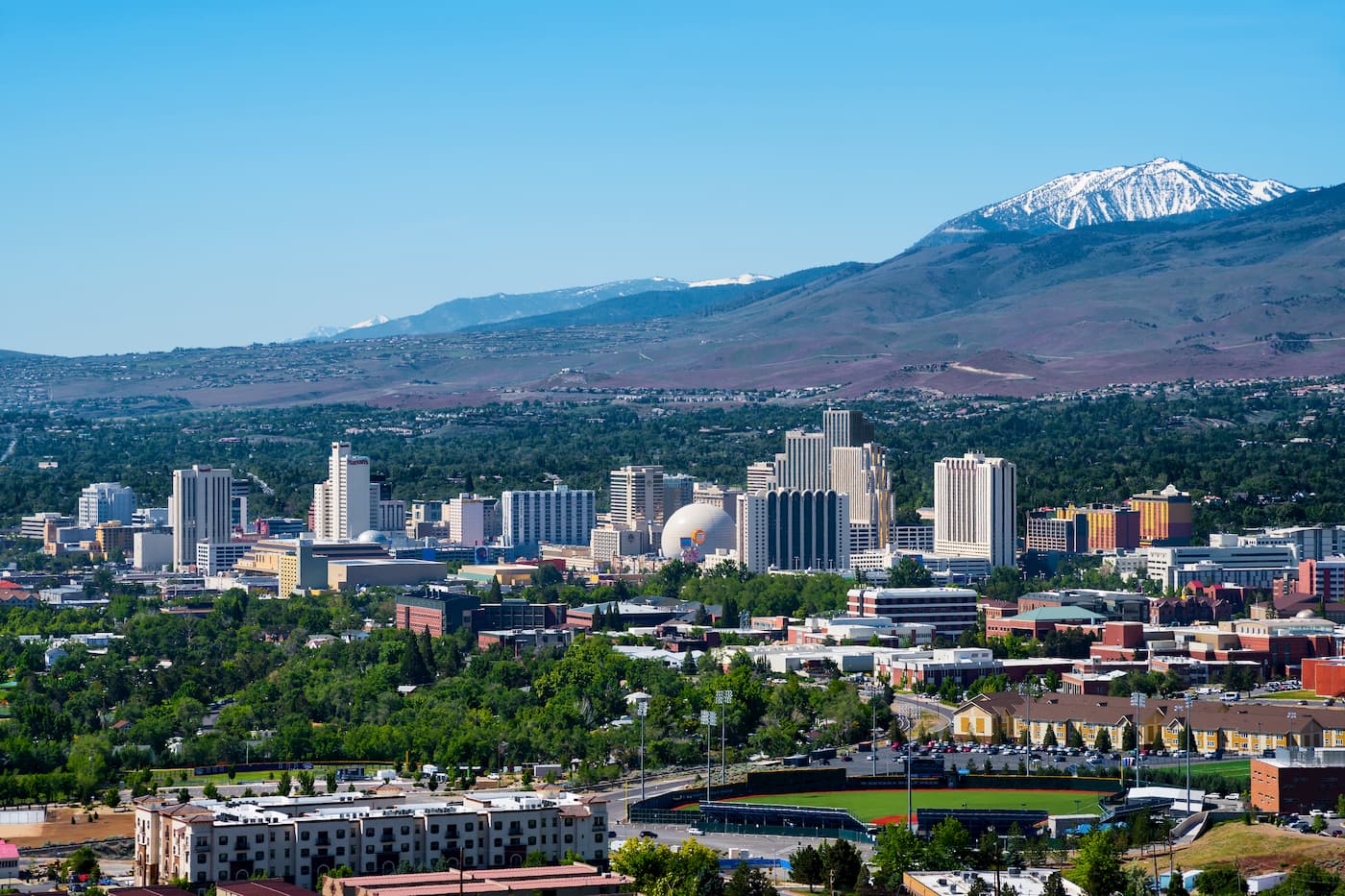
Reno, Nevada lies 1:45 southwest of the Humboldt Range along Highway 80. Reno is known for its casino and tourism industry. The city sits two and a half hours from the South Warner Wilderness. The city sits in the high desert river valley at the foot of the Sierra Nevada. The city is known as “The Biggest Little City in the World” and it sits 22 miles from the gorgeous Lake Tahoe. With a population of 255,000, the city is by far the largest in the area. Outdoor activities are abundant year-round with the city’s close proximity to Lake Tahoe, Truckee River, Pyramid Lake and 18 nearby ski resorts.

Explore Humboldt Range with the PeakVisor 3D Map and identify its summits.


ultra
nevada-peaks-club
western-state-climbers
western-state-climbers-star
great-basin
nevada-ultras
ultra
nevada-peaks-club
western-state-climbers
western-state-climbers-star
great-basin
nevada-ultras
