
Scan the QR code and open PeakVisor on your phone
A subrange of the Amargosa Range, the Funeral Mountains stretch along the California-Nevada border, forming the eastern wall of Death Valley. South of the Grapevine Mountains and north of the Black Mountains and Greenwater Range, the Funeral Mountains cover just over 200 square miles and are generally lower in elevation than other portions of the Amargosa Range.
The highest point in the Funeral Mountains, Pyramid Peak, reaches just over 6,700 feet, while the lowest point in the range, Indian Pass, sits at just over 3,000 feet. The northern boundary of the range is formed by Boundary Canyon and the southern end of the range is protected by the 25,708-acre Funeral Mountains Wilderness Area.
Allegedly, the Funeral Mountains received their ominous name from debris flow that accumulated along the base of the range. The debris flow was believed to resemble a type of fabric, Crêpe, that was worn to signify mourning.
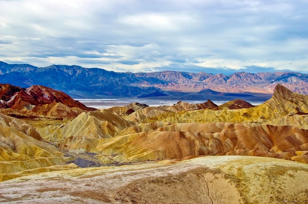
The Funeral Mountains are some of the most recognizable summits in Death Valley National Park. Visitors that travel to the park and explore the Furnace Creek area will undoubtedly photograph and admire the Funeral peaks that rise abruptly from the desert floor in the distance.
Echo Canyon, Indian Pass, and the Hole in the Wall roads all offer access to experience the Funerals. Popular attractions in the area include Echo Canyon, Inyo mine, Hole in the Wall, Chloride Cliff, and Monarch Canyon. Most of these canyons and natural attractions are located along roadless paths and unmaintained trails, so visitors are asked to exercise caution and be proficient in backcountry travel.
The Funeral Mountains Wilderness encompasses over 25,000 acres of rugged, colorful bands of limestone rock and vast expanses of desert. The Wilderness is managed by the Bureau of Land Management and is cherished for its extraordinary opportunities for solitude and exploration. Elevations in the Funeral Mountains Wilderness range from roughly 2,200 feet to almost 5,000 feet at the summit of Bat Mountain.
Due to its wilderness designation, the Funeral Mountains Wilderness remains a primitive, well-preserved landscape. Though the park is trail-free, visitors can opt to explore a number of unmaintained routes in the area. Visitors are asked to follow regulations, including Leave No Trace, in order to properly protect the park’s unique features and experiential qualities.
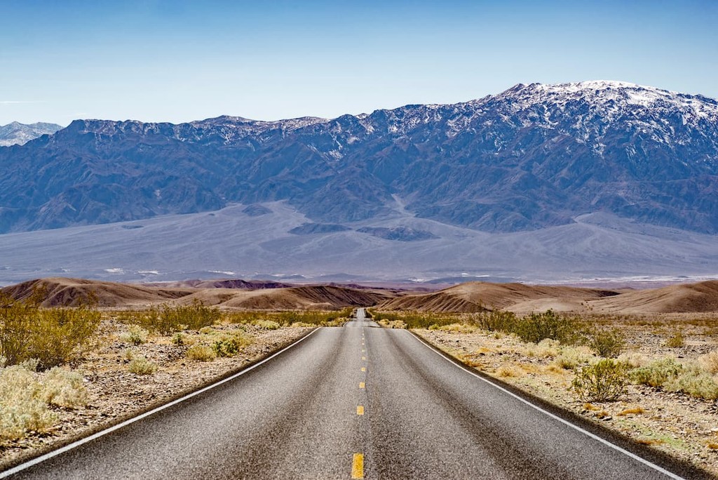
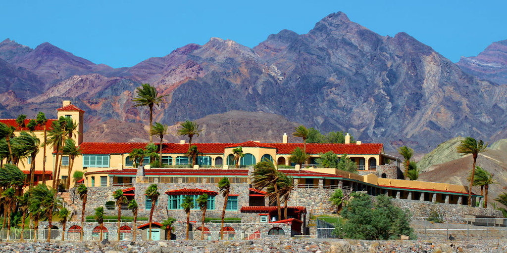
Furnace Creek is a small community located in Inyo County that holds the record for the highest recorded temperature in the world. Furnace Creek is also home to the headquarters of Death Valley National Park, making it a great place to stop for additional information about the park and nearby attractions. Despite its modest population and size, the Furnace Creek area is home to several popular lodging options, including The Oasis at Death Valley and The Ranch at Death Valley.
Located in Nye County, Nevada, Beatty is a small, incorporated town located along U.S. Route 95. The town was established in 1905 and named after Montillus ‘Old Man’ Beatty, the community’s first postmaster. In 1905, Beatty was a bustling railway center. Today, the town serves as a gateway community to Death Valley National Park. Aside from exploring the country’s hottest and driest national park, visitors to Beatty can also visit Rhyolite, an old ghost town, Yucca Mountain, and the Nevada Test Site, where nuclear devices were previously tested.


western-state-climbers
western-state-climbers-star
desert-summits-book
bartells-death-valley
sierra-club-desert
western-state-climbers
western-state-climbers-star
desert-summits-book
bartells-death-valley
sierra-club-desert


