Scan the QR code and open PeakVisor on your phone
The Cuyamaca Mountains are a mountain range located in southern California, just east of San Diego. The range runs from the northwest down to the southeast and is part of the larger Peninsular Range System. There are 59 named mountains in Cuyamaca Mountains. The highest and the most prominent mountain is Cuyamaca Peak at 6,493 feet. Cuyamaca Peak, along with other tall peaks in the range, often receive snowfall during the winter months, a sharp contrast from the hot weather of the region.
Much of the Cuyamaca Mountains are characterized by oak forests and chaparral. There are also pine forests and a few zones that feature year-round waterfalls and creeks, which is rare for the region. Both the San Diego River and the Sweetwater River have their headwaters in these mountains. From there the rivers travel westward for over fifty miles before reaching the Pacific Ocean. The Cuyamaca Mountains are protected by the Cleveland National Forest and the Cuyamaca Rancho State Park.
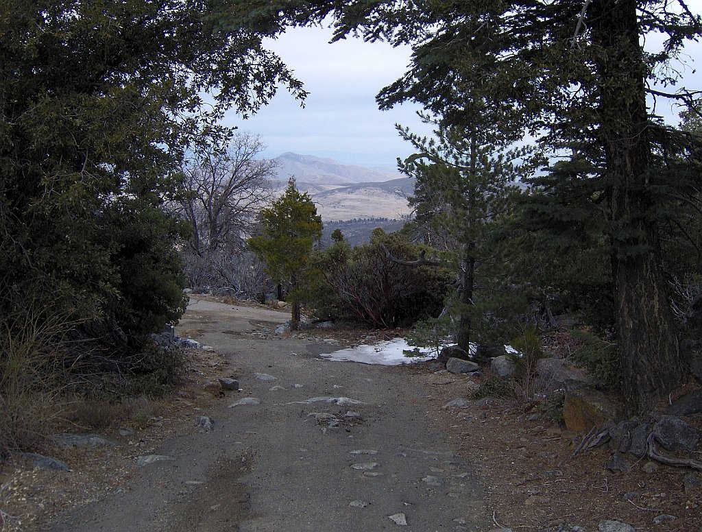
The region flourished back in the 1870’s when gold was found within the Cuyamaca Mountains. This gold rush resulted in numerous towns being created in the area. Today only traces exist of some of the towns, including Stonewall Mine, which now lies within the Cuyamaca Rancho State Park. However, the town of Julian still exists today and celebrates its mining history with a festival each year. There are over 100 miles of trails throughout this range that offer the opportunity for hiking, biking, horseback riding, and camping.
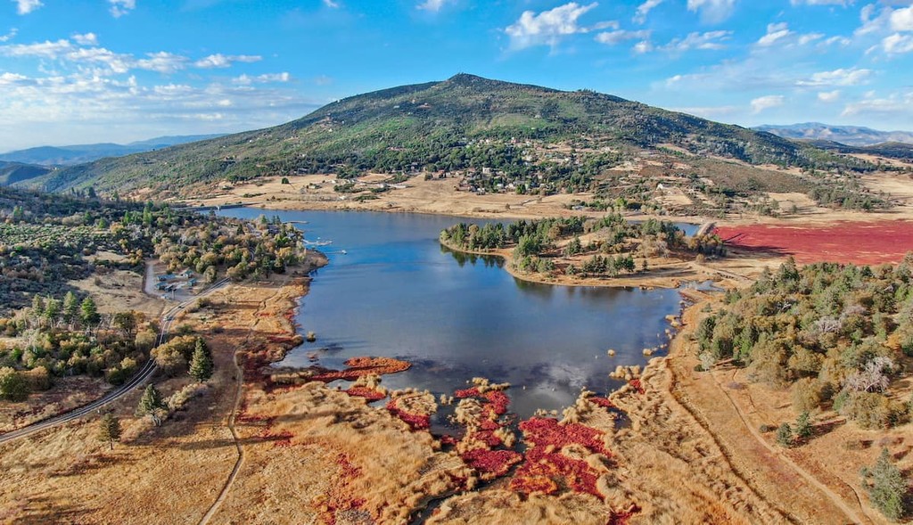
Stonewall Peak Trail: Easily one of the most popular hikes in the range, is the trail up Stonewall Peak. This route totals 3.4 miles roundtrip with 813 feet of elevation gain. The trail climbs steadily through the shaded oak forest before finally reaching the summit. From there hikers are rewarded with panoramic views of Cuyamaca Rancho State Park. Lake Cuyamaca can be seen in the nearby distance and on a clear day, hikers can see 30 miles to the Palomar Mountains. The trail descends back the way you came or loops around the back side of the mountain before connecting to the trailhead.

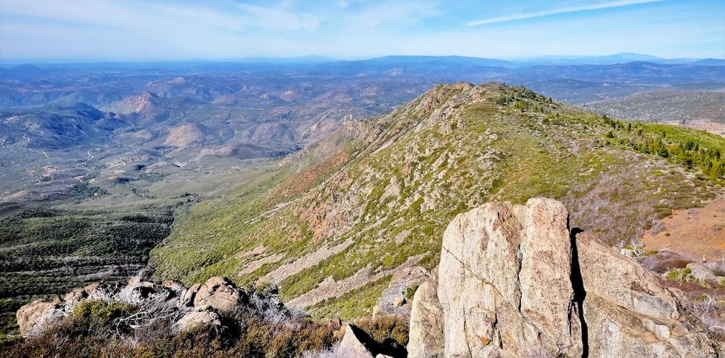
Cuyamaca Peak: As the tallest peak in the range, the hike up Cuyamaca Peak is worth the effort. The loop trail totals 7.7 miles with 1,800 feet of elevation gain. The trail winds through the forest before climbing along the ridgeline of Cuyamaca Peak. The final half mile of the hike follows along an old service road until it reaches the peak. From the summit are panoramic views of the Cuyamaca Mountains. Be sure to pack waterproof boots during the winter months.

Oakzanita Peak: Located in the East Mesa area of the Cuyamaca Mountains lies Oakzanita Peak. The trail to the summit is 5.4 miles round trip with 1,160 feet of elevation gain. After a steep climb, the trail offers expansive views of the lush land below. This region of the mountains is known for its abundance of wildlife including deer, fox, turkey and many more. Descend back down the main trail or make a loop around the peak.

San Diego is located on the west coast of California, just 17 miles north of the United States-Mexico border. The city has a population of 1.4 million and is the second most populous city in California. San Diego is known for its moderate year-round climate and access to the ocean. Balboa Park is an iconic region of the city, home to the San Diego Zoo, art galleries, museums, and gardens. The city is desirable with its access to the ocean as well as the nearby Peninsular Range System.

Located at the northern end of the Cuyamaca Mountains lies the town of Julian, known for once being a mining town. The town has a population of just under 1,000 people but is often passed through or visited by tourists of the area. The small town is surrounded by orchards, mining tours, hiking trails, along with boating and fishing. The town is also part of 1% of the United States that can still see the Milky Way. A quaint spot to stop after a long day of hiking.