Scan the QR code and open PeakVisor on your phone
There are 39 named mountains in Asahi Mountains. The highest and the most prominent mountain is Mt. O-Asahi.
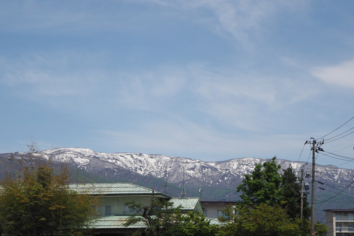
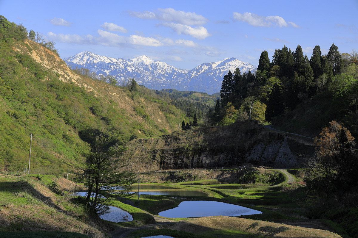
Located in the southern part of Tohoku, between Yamagata and Niigata prefectures, this range constitutes the northern section of the Echigo Mountains and it is part of the Bandai-Asahi National Park. In addition to the main ridge called Asahi, formed by four major peaks, Mt. Ko-Asahi(小朝日岳 1,644m), Mt. O-Asahi(大朝日岳 1,870m), Mt. Nishiasahi (西朝日岳 1,812m), and Mt. Sodeasahi (袖朝日岳 1,661m), this non-volcanic mountain range includes the Dewa Sanzan, three holy peaks popular among the Shugendō sect: Mt. Gassan (月山 1,984m), Mt. Haguro (羽黒山) and Mt. Yudono (湯殿山 1,500m), and a sub-range called the Hiide Sanchi. These mountains extend for 60km from north to south and 30km from east to west. The shape is characterized by the presence of deep valleys, snow-patch grasslands, marshes, windswept grasslands, and communities of dwarf stone pine. The alpine climate is particularly favourable for alpine plants and heavy snowfalls, with lingering snow during summer.
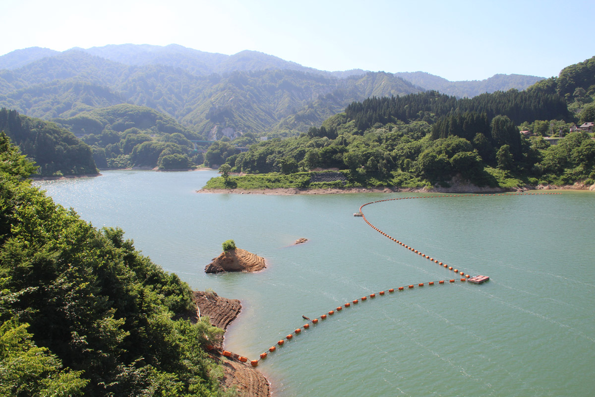
Two important dams are located on both the Yamagata and the Niigata side. These are the Sagae Dam on the Sagae River and the Miomote Dam on the Miomote River.
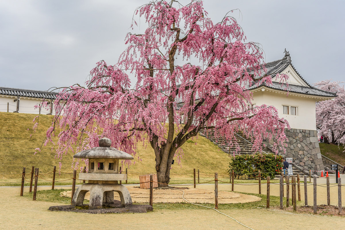
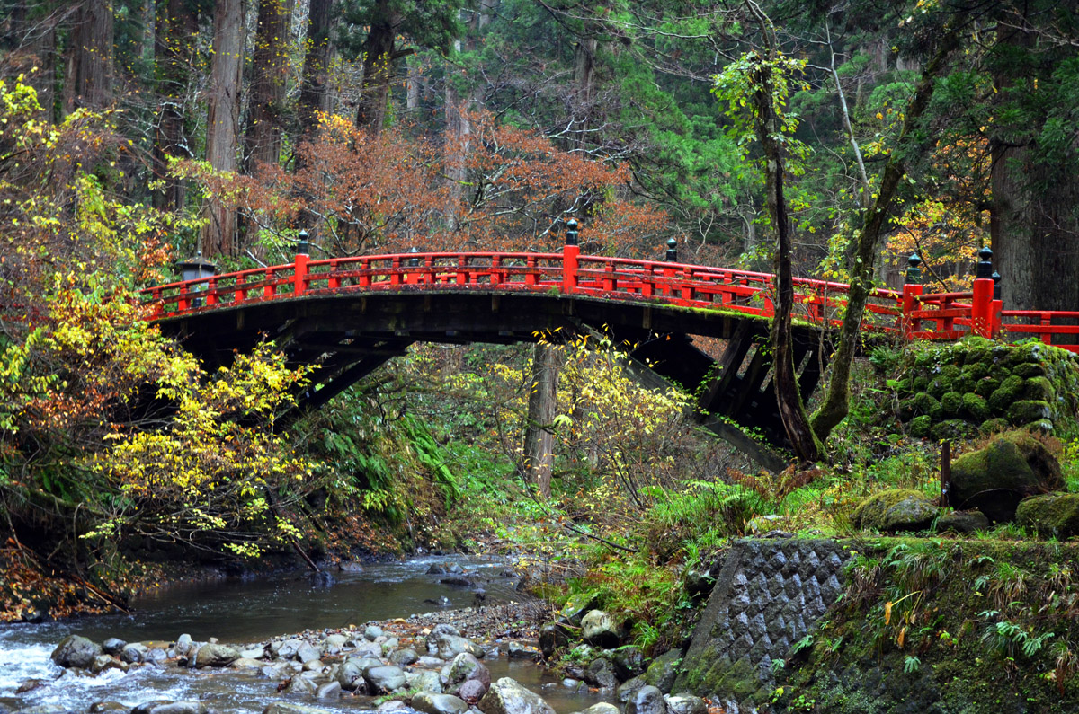
The area is also famous for the presence of a few influential shrines: Dewa Shrine, Gassan Shrine, Judonosan Shrine. Numerous hiking trailheads are located on both sides of this prefectures.
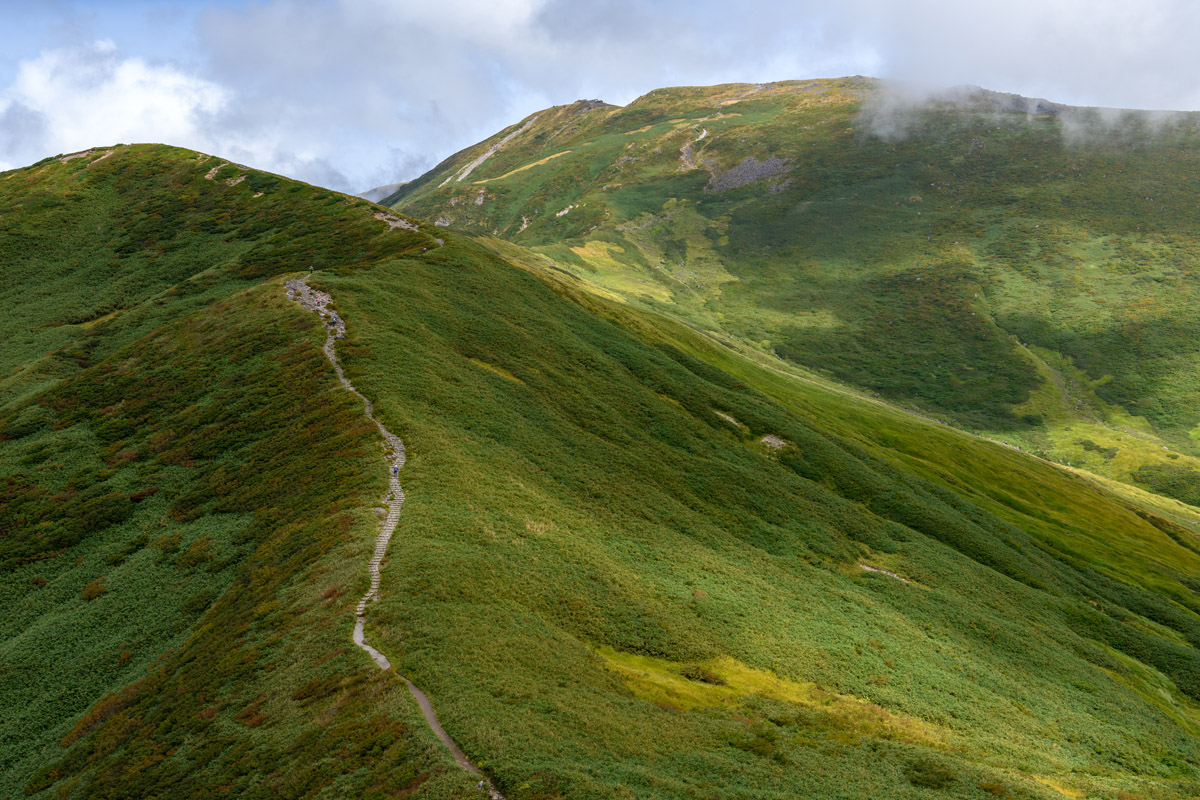
Mt. Asahi consists of four peaks: Mt. Ko-Asahi(小朝日岳 1,644m), Mt. O-Asahi(大朝日岳 1,870m), Mt. Nishiasahi (西朝日岳 1,812m), and Mt. Sodeasahi (袖朝日岳 1,661m). It offers one of the most breathtaking views of the Japanese mountains even more fascinating thanks to the inaccessible location. For this reason, it is listed as one of The 100 Famous Japanese Mountains. Being the main peak of the range, this mountain offers many sources of enjoyment. Hikers may choose among short one-day hikes, long one-day hikes and multi-day hikes, but the best option is to traverse the entire length of the mountain range along the main ridge, a trek that takes three to four days or more depending on your progress.
There are also other trails: a back trail located near Nishimurayama, primarily used for hiking and walking, from November until March. From the hut at Koderakousen you can reach Mt. Kodera (小寺山) in 2h through a trail that wastes no time in gaining elevation.
ToriharaYama (鳥原山) Trail is an 11km path that takes 8h to ascent and 6h to descend, starting from the Asahi Mineral Hotsprings. This trail touches three peaks: Mt. Torihara, Mt. Ko-Asahi and Mt. O-Asahi. The area beside Mt. Torihara hut is dotted with lakes and small ponds and marshlands.
Mikagemori Trail 8h50m (ascent) is a route that traverses many peaks among which there are Mt. Kamikurayama, Mt. Mikagekoriyama (御影森山 1,505m). Nakatsuru Trail is the shortest way to reach the tops of Mt. O-Asahi. The trail follows the riverbanks of the Asahi river for 4km, popping out directly on the main ridge. For other 4km the trail follows the ridge reaching the summit in 6h. There are some dangerous points where you must use a rope.
It is also possible to plan a longer hike, combining the Torihara Yama with the Nakatsuru Trail. It takes 6h and a strong endeavour to reach Mt. Ko-Asahi. A 23km-long trail connects Mt. O-Asahi to Mt. Nishiasahidake. Trained hikers can complete it in 13h, but the trails can also be split into two parts.
Mt. Chōkai (鳥海山2,236m) – This extremely beautiful environment seems to pop out from an otherworldly realm. Mt. Chōkai straddles the border of Akita and Yamagata prefectures, but its peak lies in Yuza Town on the Yamagata side. The usual approach includes a stop at Mt. Gassan. The 2h course offers a full immersion in the lush nature where hikers can spot the seasonal variations. It is the mountain with the most sudden elevation from the sea level. The peak can be reached by car through the Blue sea line until the 5th stage, located at 1, 500m, and from there you can experience a trekking-like ascent. If you take the Chōkai Plateau Line (鳥海高原ライン) you can stop at the 5th stage and visit Tsuruma Lake. Beginners may choose a trail running along Lake Chōkai, adorned with flower fields. There is also a wide choice of trekking trails for all tastes, thanks to the impact of the Shugendō sect that in ancient times developed all these trails for ascetic purposes.
Trails are divided into Yamagata side (5 courses) and Akita side (4 courses) with 9 different trailheads: Kisakata, Fukura, Nagasaka, Mansuke, Ni-no-taki, Yunodai, Momoyake, Sarukura, and Yashima.
On the Akita side, from the Kisakata trailhead leads to the Hakodate Trail, a 14km well-maintained path, a pleasant walk feasible in 5h that runs parallel to Lake Chōkai.
The Yajima trailhead is a 10km trail feasible in 4h10m that boasts a long history. It is characterized by the presence of snow accumulation thanks to which it is possible to practice summer ski.
There is also a well-maintained wooden path running inside the Ryugahara Wetlands. The Momoyake trailhead leads to an 11km trail feasible in 5h and is the steepest trail of this mountainside.
The Sarukura trailhead is located at the mountain feet next to the Sarukura Onsen. It is 11km trail feasible in about 4h50m, with a junction to Yajima trailhead.
The Yunotaiguchi trailhead lies on the Yamagata side and with its 10km is the shortest trail on this side. Hikers need metal pins and climbing shoes to complete the 4h hike. Despite being the oldest trail with the most perilous passages, the Fukura trailhead is well maintained and it matches the average length and distance of the other trails in the same area with its 14km feasible in 5h30.
The Yamagata side encloses the longest trails of the area, like the one starting from the Ninotaki trailhead, a 20km route for good walkers feasible in 2 days. It is a quite popular course, but hikers must pay attention during the high waters period due to the presence of some wading spots.
The Mansuke trailhead is the most elevated trail, with its 26km feasible in a 2 days hike of 9h each. The difficulty level is particularly high and there is a junction with the Ninotaki trail.
The Nagasaka trailhead follows the ridgeline for 27km. It is another 2-day hike, also used for ascetic training in the past. Mountain huts are available on each trail.
Dewasanzan - Mt. Gassan (月山 1,984m), Mt. Haguro (羽黒山 437m) and Mt. Yudono (湯殿山 1,500m) has drawn visitors since the 6th century A.D because they were the focal points for the "Haguro Shugendo" asceticism. Nowadays, many visitors are coming to these three holy peaks for various purposes including mountain worship, visiting the historical sites, shrines and temples, mountain climbing and summer skiing. In Buddhism, they are considered the territorial representation of Past, Present and Future. Mt. Yudono is the holiest of all; the shrine on its top is opened only in summer and it is necessary to go barefoot to visit it. The Dewasanzan is also the starting point of a short ascent of about 1.7km known as The Journey of Rebirth, made up of 2,446 stone steps reaching Mt. Haguro. Mt. Gassan is famous for summer skiing and flower trekking and there are about 11 different trails to explore it.
The Haguro Yamaguchi trail takes a total 6h and it is located at only 8km from Mt. Haguro. Despite the rocky terrain, climbing it does not require any specific skills or stamina. The Yudono course is not crowded due to the ups and downs. Since it is a popular route among pilgrims, hikers can find lots of facilities along the way. Mt. Gassan is only open between July and mid-October, sometime between then is best for climbing all three. For both DewaSanzan itineraries, we recommend staying in the Shukubo Pilgrim Lodge on Mt. Haguro, or at least somewhere nearby, since the lack of transport can significantly affect your hiking schedule.
Mt. Hayama (1,230m) is a volcano located at the southern extremity of the range. It used to be a popular pilgrimage route, now hikers can reach it through 6 major trails that offer an easy approach to the peak with an average length from 1h to 5h. It is particularly suitable for ridgeline walking.
The Jubuichi Pass Trail is currently closed due to a landslide. The Hatake Trail is the most panoramic course, with a few viewpoints located along the way. All the trails start in different districts of Nagai. On the 3h one-way trail, there are some junctions to the old trail. Since the path is closed there, pay attention not to get lost.
The Shirousagi Trail starts in Nagai from the Hayama Forest Park. This one seems easy to climb but the second half of the path is quite steep. Besides, keep in mind that there might be some wading spots along the way that require proper equipment and good water-proof boots or at least a spare pair of dry socks. Another one starts from Kusaoka district in Nagai.
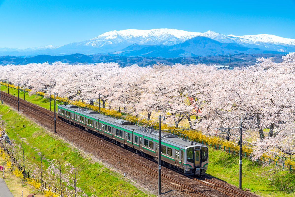
Niigata and Yamagata are well connected to other regional tourism destinations by Express intercity bus lines, but if you are coming from major cities like Sendai or Fukushima, the JR East would be a convenient option. Smaller cities and villages are served by Yamagata railways and local bus lines. An example is The Asahi Climb Bus that stops directly at the Asahi Mineral Spring entrance (from Aterazawa station), one of the several access points to the range. The others are listed below. The point of departure is written in brackets.
You can also reach smaller remote villages like Tsuruoka or Nishikawa by taxi. Among all the fancy activities the region has to offer like snowshoes climbing, skiing, fishing, onsens, The Gessan summer ski resort open from April to July would be a refreshing option and a great alternative to enjoy the range in its different shapes. Not far from the Asahi range lies the Mogami river, where you can take a peaceful boat ride. The Mogami River is considered the mother river of Yamagata Prefecture, and the locals feel strong affection for it. You can enjoy the natural scenery surrounding the river as it is flowing peacefully.