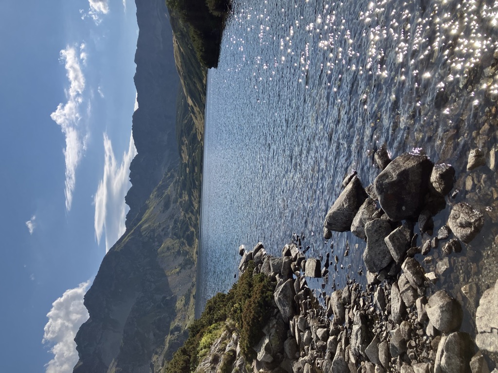
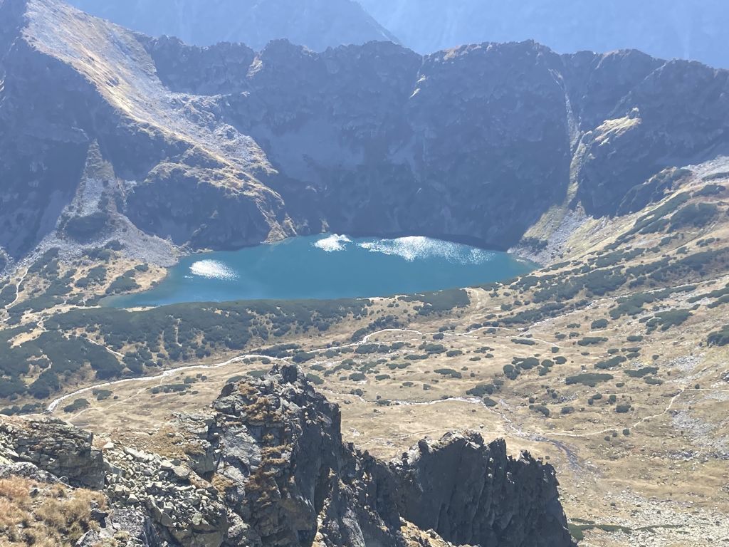
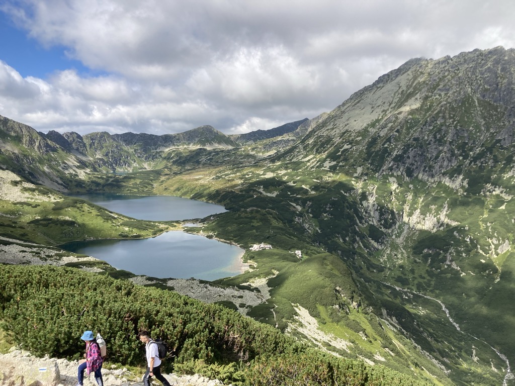
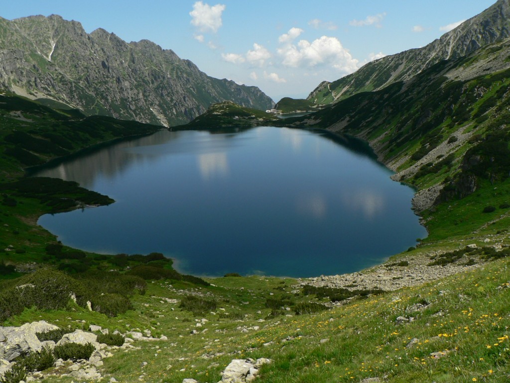
Wielki Staw Polski (Polish: Wielki Staw Polski; Slovakian: Veľký stav; German: Großer Polnischer See; Hungarian: Nagy-tó) - is a tarn located in the High Tatras, at an elevation of 1,665 metres above sea level in the Valley of the Five Polish Lakes (Dolina Pięciu Stawów Polskich), by the slope of the Miedziane. The lake is the second-largest lake by area (34.14 hectares (84.4 acres)) in the Tatra Mountains after the Morskie Oko (34.54 hectares (85.4 acres)). The lake is located in the Lesser Poland Voivodeship; in Poland. Wielki Staw Polski is the deepest and longest (998 metres) lake in the Tatra Mountains, and the third-deepest lake in Poland (the deepest lake is Hańcza. The lake's volume is around 13 million m³ of water, and it is the largest lake by volume in the Tatra Mountains (its volume makes up one third of all lakes in the Tatra Mountains lakes). The highest temperature of the lake's water was 11.2 °C (52.2 °F).
We use GPS information embedded into the photo when it is available.
3D mountains overlay
Adjust mountain panorama to perfectly match your photos because recorded by camera photo position might be imprecise.
Move tool
Rotate tool
Zoom
More customization
Choose which peak labels should make into the final photo and what photo title should be.
Next
Photo Location
Satellitte
Flat map
Relief map
Latitude
Longitude
Altitude
OR
Latitude
°'''
Longitude
°'''
Apply
Register Peak
Peak Name
Latitude
Longitude
Altitude
Register
Teleport
PeakVisor
This 3D model of Sagarmatha National Park in Nepal was made using the PeakVisor app topographic data. The mobile app features higher precision models worldwide, more topographic details, and works offline. Download PeakVisor maps today.
Download OBJ model
PeakVisor
The download should start shortly. If you find it useful please consider supporting the PeakVisor app.
PeakVisor for iOS and Android
Be a superhero of outdoor navigation with state-of-the-art 3D maps and mountain identification in the palm of your hand!