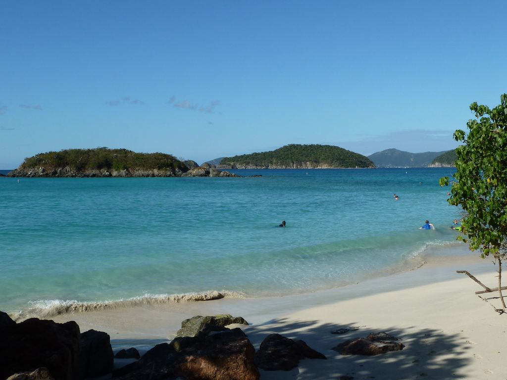
Whistling Cay is a 19-acre (7.7 ha) islet, situated 300 yards (270 m) west of Mary Point on Saint John in the United States Virgin Islands. It is covered with trees and high cliffs in the north, where it reaches a 130-foot (40 m) elevation. A gravel beach is located on the southeast side of the island. It is separated from Saint John by the Fungi Passage, which has a depth of 21 feet (6.4 m). Whistling Cay can be reached by boat or kayak from Cinnamon Bay, Maho Bay, or Francis Bay and it is a popular destination for scuba diving and snorkeling. During the 19th century, customs officials stationed on the islet would stop and inspect boats plying the passage between the British Virgin Islands and the then Danish Virgin Islands. It is located within the Virgin Islands National Park.
We use GPS information embedded into the photo when it is available.
3D mountains overlay
Adjust mountain panorama to perfectly match your photos because recorded by camera photo position might be imprecise.
Move tool
Rotate tool
Zoom
More customization
Choose which peak labels should make into the final photo and what photo title should be.
Next
Photo Location
Satellitte
Flat map
Relief map
Latitude
Longitude
Altitude
OR
Latitude
°'''
Longitude
°'''
Apply
Register Peak
Peak Name
Latitude
Longitude
Altitude
Register
Teleport
PeakVisor
This 3D model of Sagarmatha National Park in Nepal was made using the PeakVisor app topographic data. The mobile app features higher precision models worldwide, more topographic details, and works offline. Download PeakVisor maps today.
Download OBJ model
PeakVisor
The download should start shortly. If you find it useful please consider supporting the PeakVisor app.
PeakVisor for iOS and Android
Be a superhero of outdoor navigation with state-of-the-art 3D maps and mountain identification in the palm of your hand!