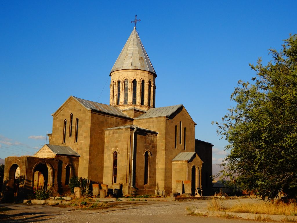
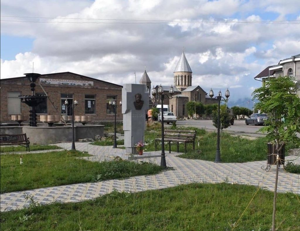
Vardenis (Armenian: Վարդենիս [vɑɾtʰɛˈnis]) is a town in the Vardenis Municipality of the Gegharkunik Province of Armenia. It is located in the valley of the Masrik River, on the territory of the Masrik artesian basin at 2,006 metres (6,581 feet) above sea level, near the southeastern shores of Lake Sevan. It is 170 kilometres (110 miles) by road east of the capital Yerevan, and 75 kilometres (47 miles) southeast of the provincial centre Gavar. The administrative territory of Vardenis comprises 3,006 hectares (7,430 acres), of which 736 hectares (1,820 acres) is occupied by the town itself. Vardenis obtained its status as an urban settlement in 1995. As of the 2011 census, the population of the town was 12,685. However, as per the 2016 official estimate, the population of Vardenis is 12,600.
We use GPS information embedded into the photo when it is available.
3D mountains overlay
Adjust mountain panorama to perfectly match your photos because recorded by camera photo position might be imprecise.
Move tool
Rotate tool
Zoom
More customization
Choose which peak labels should make into the final photo and what photo title should be.
Next
Photo Location
Satellitte
Flat map
Relief map
Latitude
Longitude
Altitude
OR
Latitude
°'''
Longitude
°'''
Apply
Register Peak
Peak Name
Latitude
Longitude
Altitude
Register
Teleport
PeakVisor
This 3D model of Sagarmatha National Park in Nepal was made using the PeakVisor app topographic data. The mobile app features higher precision models worldwide, more topographic details, and works offline. Download PeakVisor maps today.
Download OBJ model
PeakVisor
The download should start shortly. If you find it useful please consider supporting the PeakVisor app.
PeakVisor for iOS and Android
Be a superhero of outdoor navigation with state-of-the-art 3D maps and mountain identification in the palm of your hand!