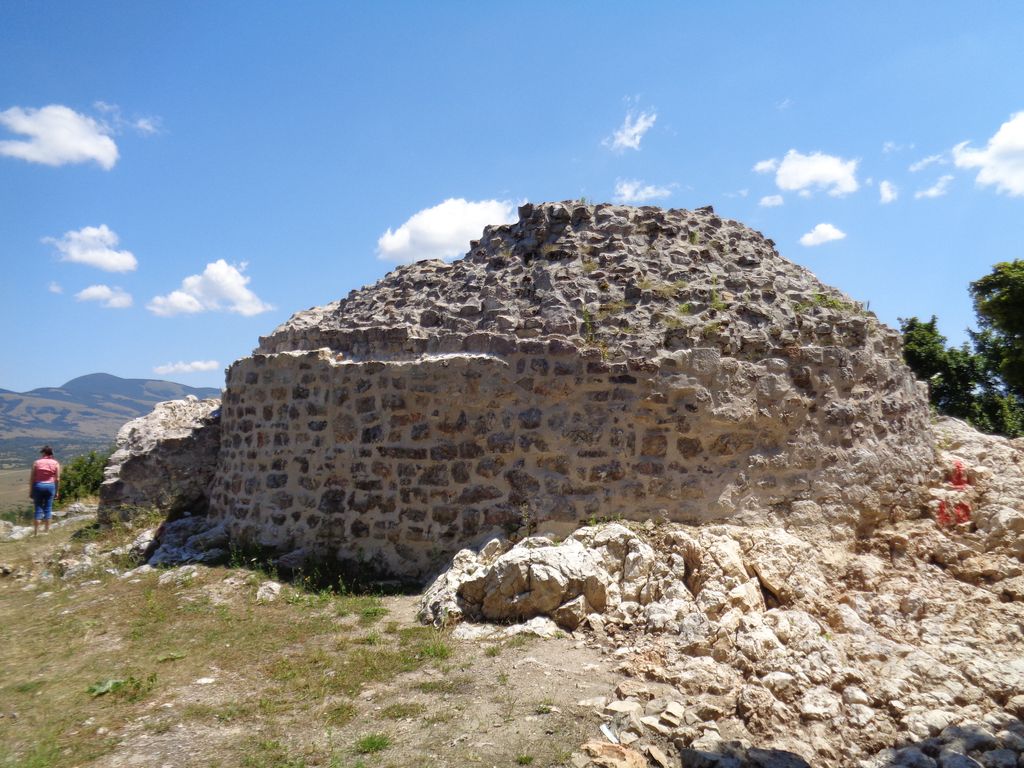
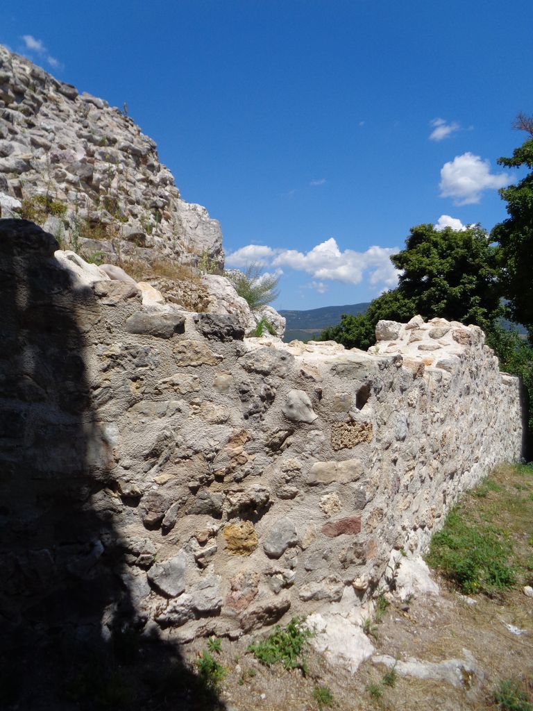
Udbina Castle (Croatian: Utvrda Udbina) is a ruined medieval fortified structure in the town of Udbina, Lika-Senj County, Croatia. Built on the top of a hill at the northern end of the town, it overlooks a large part of the Krbava field, just above the place where the fierce and bloody Battle of Krbava between the army of the Kingdom of Croatia and the Ottoman Empire was fought in 1493. Once property of the powerful Kurjaković noble family, the castle was captured by the Ottomans in 1527. It was recaptured in 1689 by Habsburg-Croatian army, but later, by the end of the 19th century, uncared-for, the castle slowly turned into a ruin.
We use GPS information embedded into the photo when it is available.
3D mountains overlay
Adjust mountain panorama to perfectly match your photos because recorded by camera photo position might be imprecise.
Move tool
Rotate tool
Zoom
More customization
Choose which peak labels should make into the final photo and what photo title should be.
Next
Photo Location
Satellitte
Flat map
Relief map
Latitude
Longitude
Altitude
OR
Latitude
°'''
Longitude
°'''
Apply
Register Peak
Peak Name
Latitude
Longitude
Altitude
Register
Teleport
PeakVisor
This 3D model of Sagarmatha National Park in Nepal was made using the PeakVisor app topographic data. The mobile app features higher precision models worldwide, more topographic details, and works offline. Download PeakVisor maps today.
Download OBJ model
PeakVisor
The download should start shortly. If you find it useful please consider supporting the PeakVisor app.
PeakVisor for iOS and Android
Be a superhero of outdoor navigation with state-of-the-art 3D maps and mountain identification in the palm of your hand!