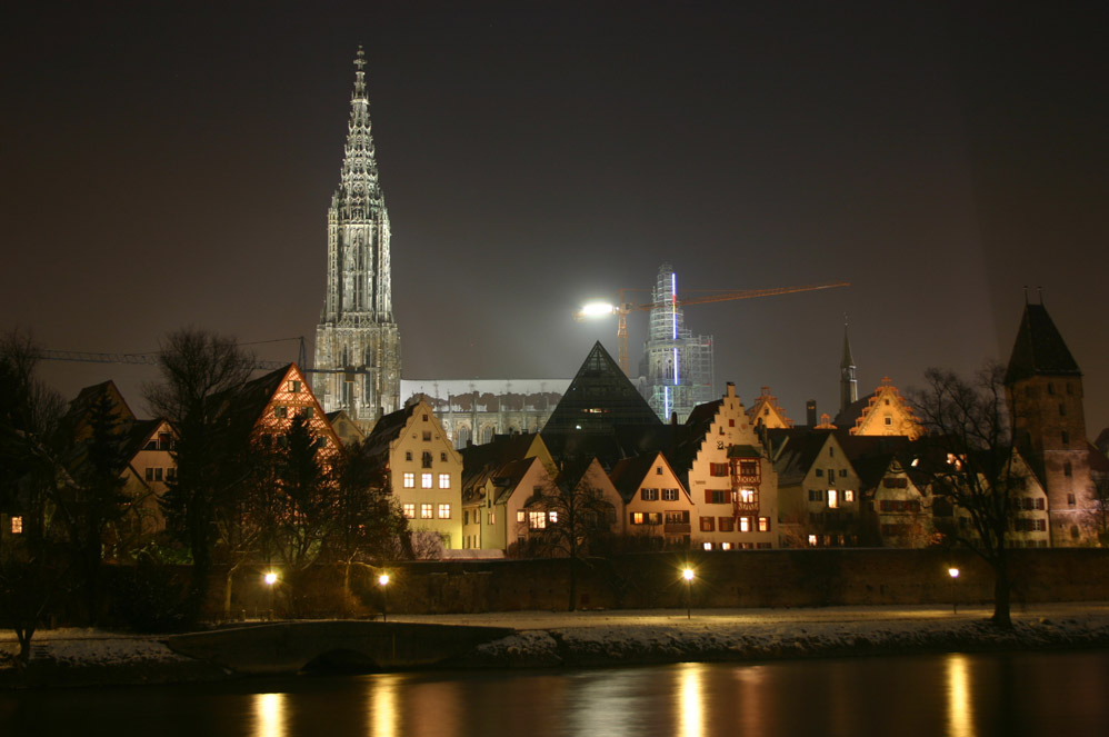
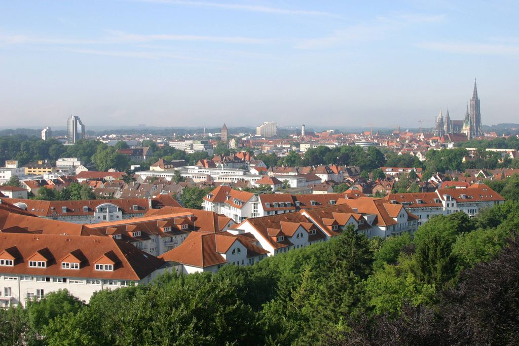
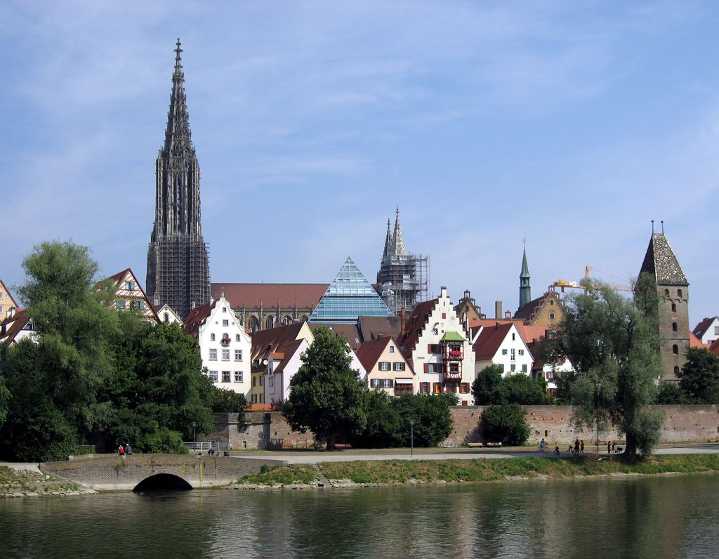
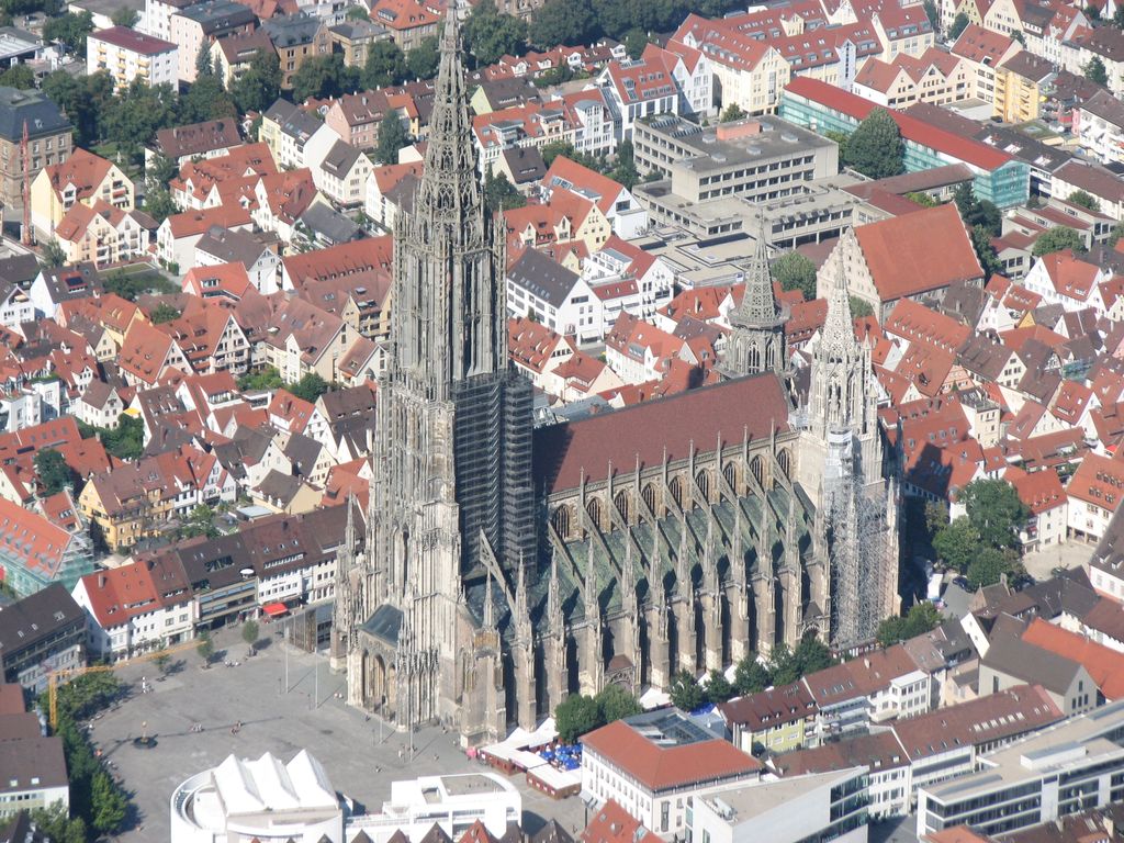
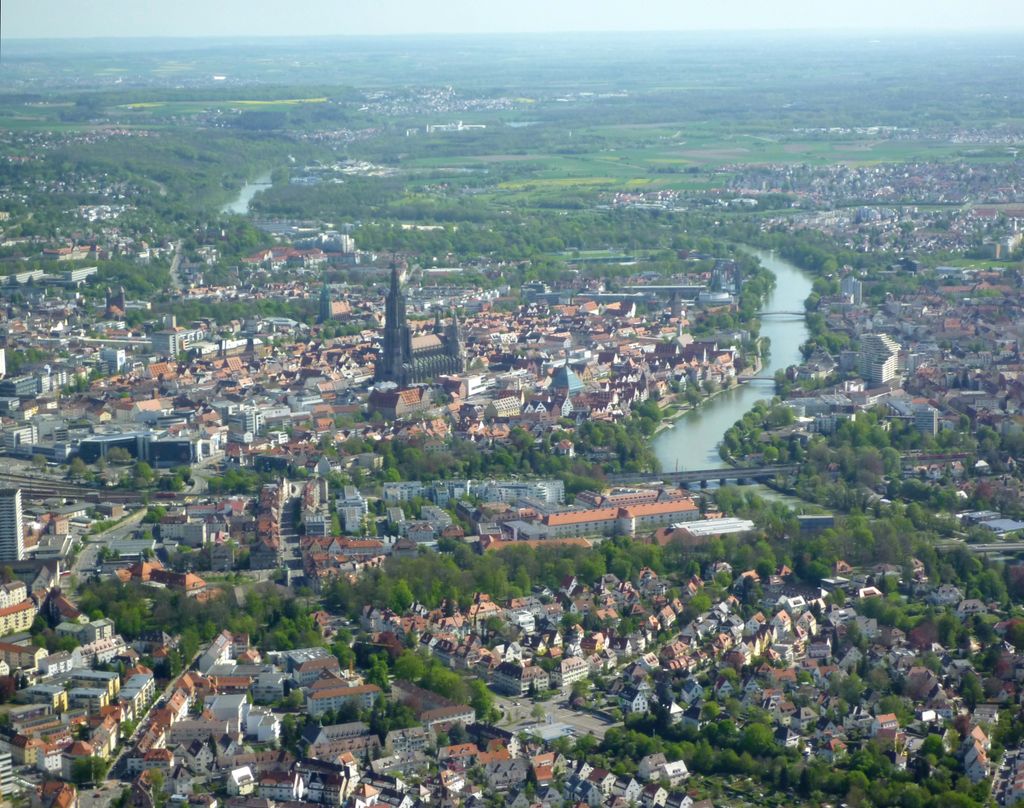
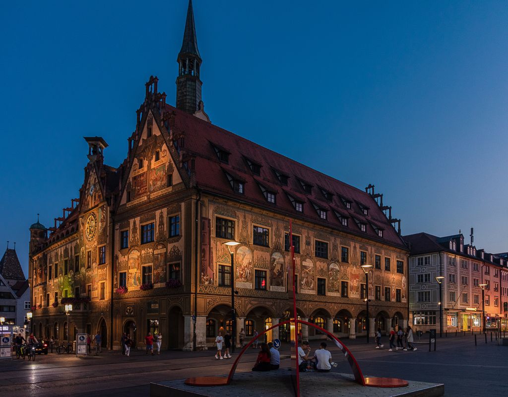
Ulm (German pronunciation: [ʊlm] ) is the sixth-largest city of the southwestern German state of Baden-Württemberg, and with around 129,000 inhabitants, it is Germany's 60th-largest city. Ulm is located on the eastern edges of the Swabian Jura mountain range, on the upper course of the River Danube, at the confluence with the small Blau Stream, coming from the Blautopf in the west. The mouth of the Iller also falls within Ulm's city limits. The Danube forms the border with Bavaria, where Ulm's twin city Neu-Ulm lies. The city was part of Ulm until 1810, and Ulm and Neu-Ulm have a combined population of around 190,000. Ulm forms an urban district of its own (Stadtkreis Ulm), and is the administrative seat of the Alb-Donau-Kreis, the district that surrounds it on three sides, but which the city itself is not a part of. Ulm is the overall 11th-largest city on the Danube River, and the third-largest German Danubian city after Regensburg and Ingolstadt. Founded around 850, Ulm is rich in history and traditions as a former free imperial city. Ulm is an economic centre due to its varied industries, and is the seat of the University of Ulm (Universität Ulm), and of the Ulm University of Applied Sciences (Technische Hochschule Ulm, THU). The city lies on the international railway corridor "Main Line for Europe", from Paris to Bratislava and Budapest, via Strasbourg, Karlsruhe, Stuttgart, Ulm, Augsburg, Munich, Salzburg, Linz and Vienna. The Ulm Minster (Ulmer Münster) is the tallest church in the world (161.53 m or 529.95 ft). In 1927, the then tiny village of Wiblingen was incorporated into Ulm, which led to that Wiblingen Abbey with its monastic library and its True Cross reliquary (Heilig-Kreuz-Reliquie), that allegedly contains wood particles from the True Cross, is now part of Ulm. Famous personalities born in Ulm include Johann Georg Niederegger (1777–1859), Karl Heinrich Kässbohrer (1864–1922), Albert Einstein (1879–1955), Otto Kässbohrer (1904–1989) and Hildegard Knef (1925–2002).
Show more
Sun and Moon
Mon
Tue
Wed
Thu
Fri
Sat
Sun
May 2022
Date and time
00:00
06:00
12:00
18:00
Today
--
--
Sunrise
--
Sunset
--
Moonrise
--
Moonset
Phase
🌔 Waxing Gibbous
The perfect light time for beautiful photos:
--
Sunrise
--
Sunset
PeakVisor app
Get the app on your smartphone
New Panorama Tools
Trace location on the map
Measure distances
All the instruments are available in the context menu as well.
We use GPS information embedded into the photo when it is available.
3D mountains overlay
Adjust mountain panorama to perfectly match your photos because recorded by camera photo position might be imprecise.
Move tool
Rotate tool
Zoom
More customization
Choose which peak labels should make into the final photo and what photo title should be.
Next
Photo Location
Satellitte
Flat map
Relief map
Latitude
Longitude
Altitude
OR
Latitude
°'''
Longitude
°'''
Apply
Register Peak
Peak Name
Latitude
Longitude
Altitude
Register
Teleport
PeakVisor
This 3D model of Sagarmatha National Park in Nepal was made using the PeakVisor app topographic data. The mobile app features higher precision models worldwide, more topographic details, and works offline. Download PeakVisor maps today.
Download OBJ model
PeakVisor
The download should start shortly. If you find it useful please consider supporting the PeakVisor app.
PeakVisor for iOS and Android
Be a superhero of outdoor navigation with state-of-the-art 3D maps and mountain identification in the palm of your hand!